Elevation of Rebel Dr, Hot Springs, NC, USA
Location: United States > North Carolina > Madison County > 6, Hot Springs > Hot Springs >
Longitude: -82.891883
Latitude: 35.9281362
Elevation: 471m / 1545feet
Barometric Pressure: 96KPa
Elevation Map:
Satellite Map:
Related Photos:

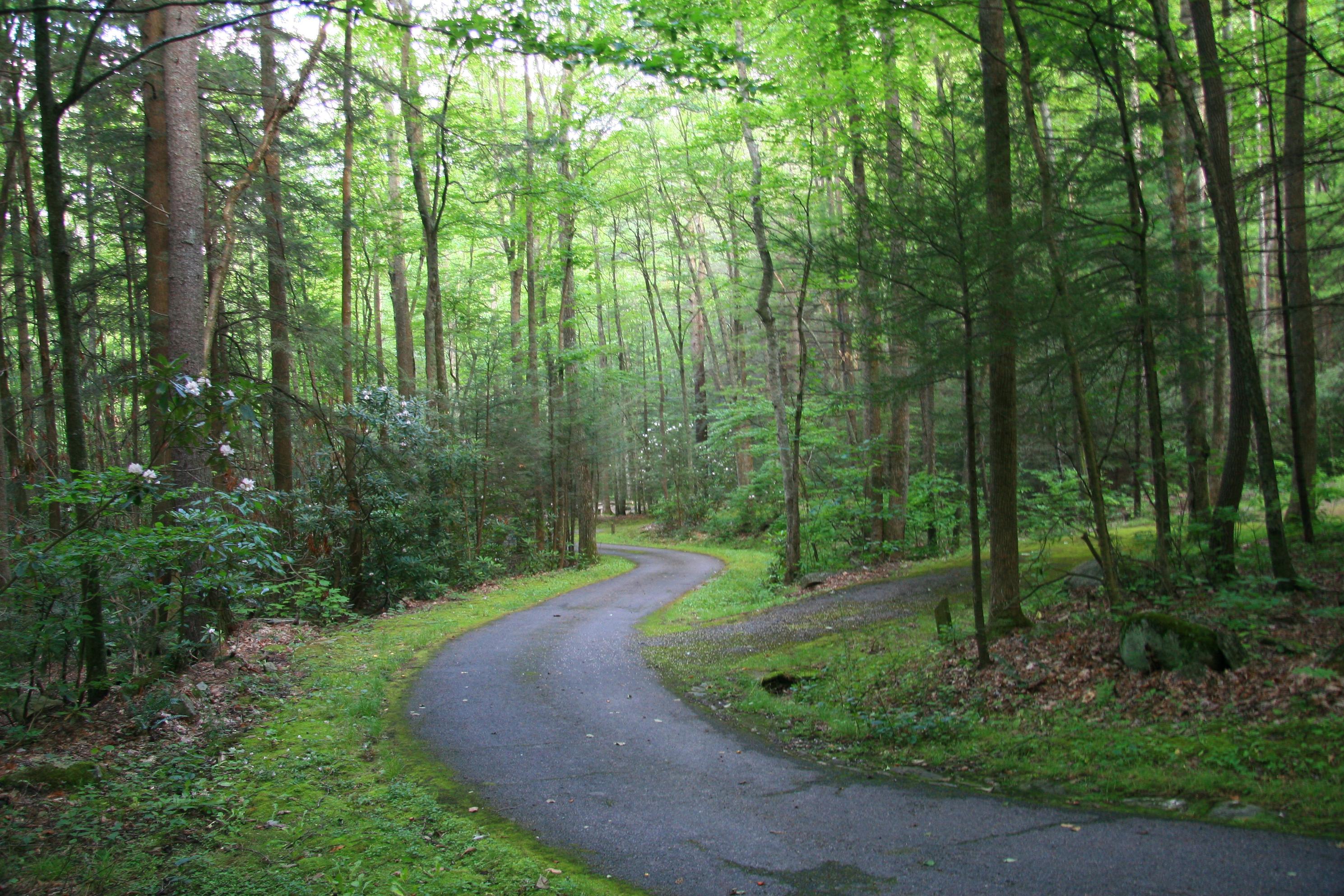
Rural Barn of Tennessee

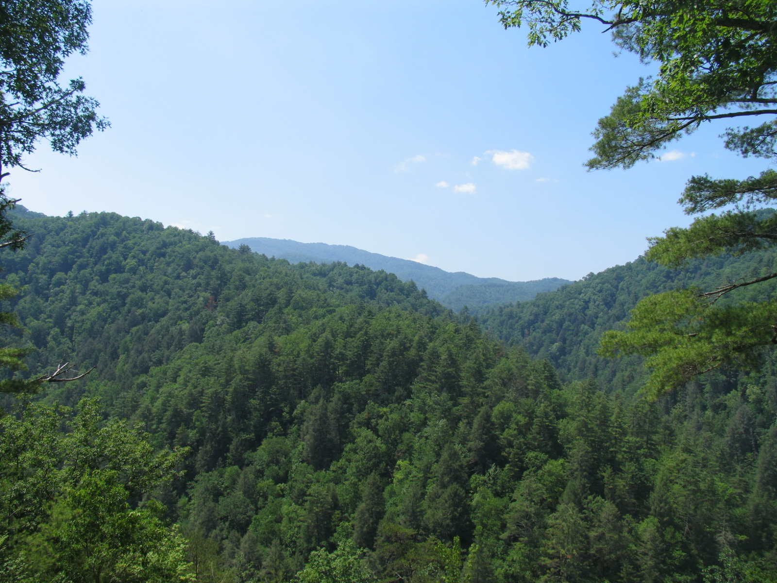
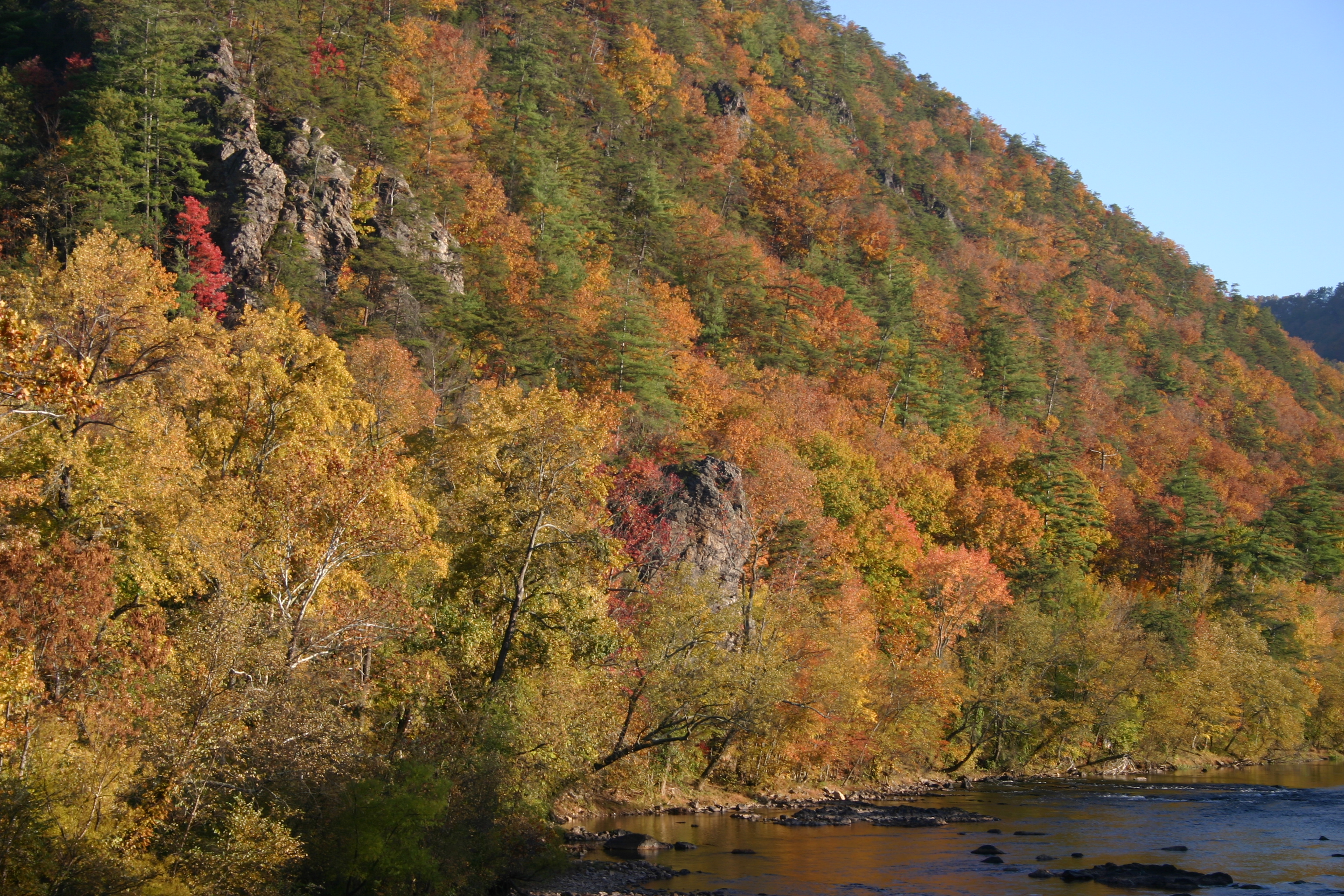
View from Max Patch, looking east
Rich Mountain Fire Tower

Celebrating the 4th of July

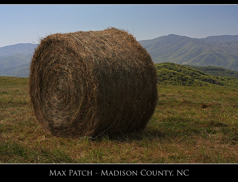
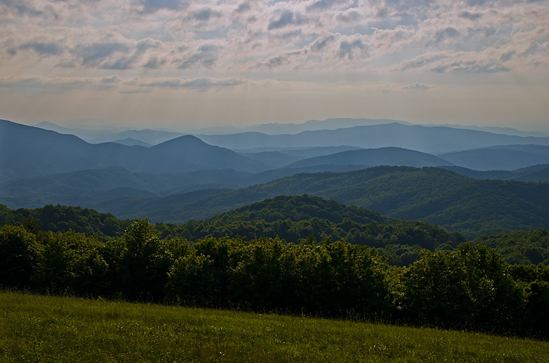
Max Patch

The Smokey Mountains

View from Max Patch
View from Max Patch

Fall on Max Patch

tracks & mountains

Houston Valley

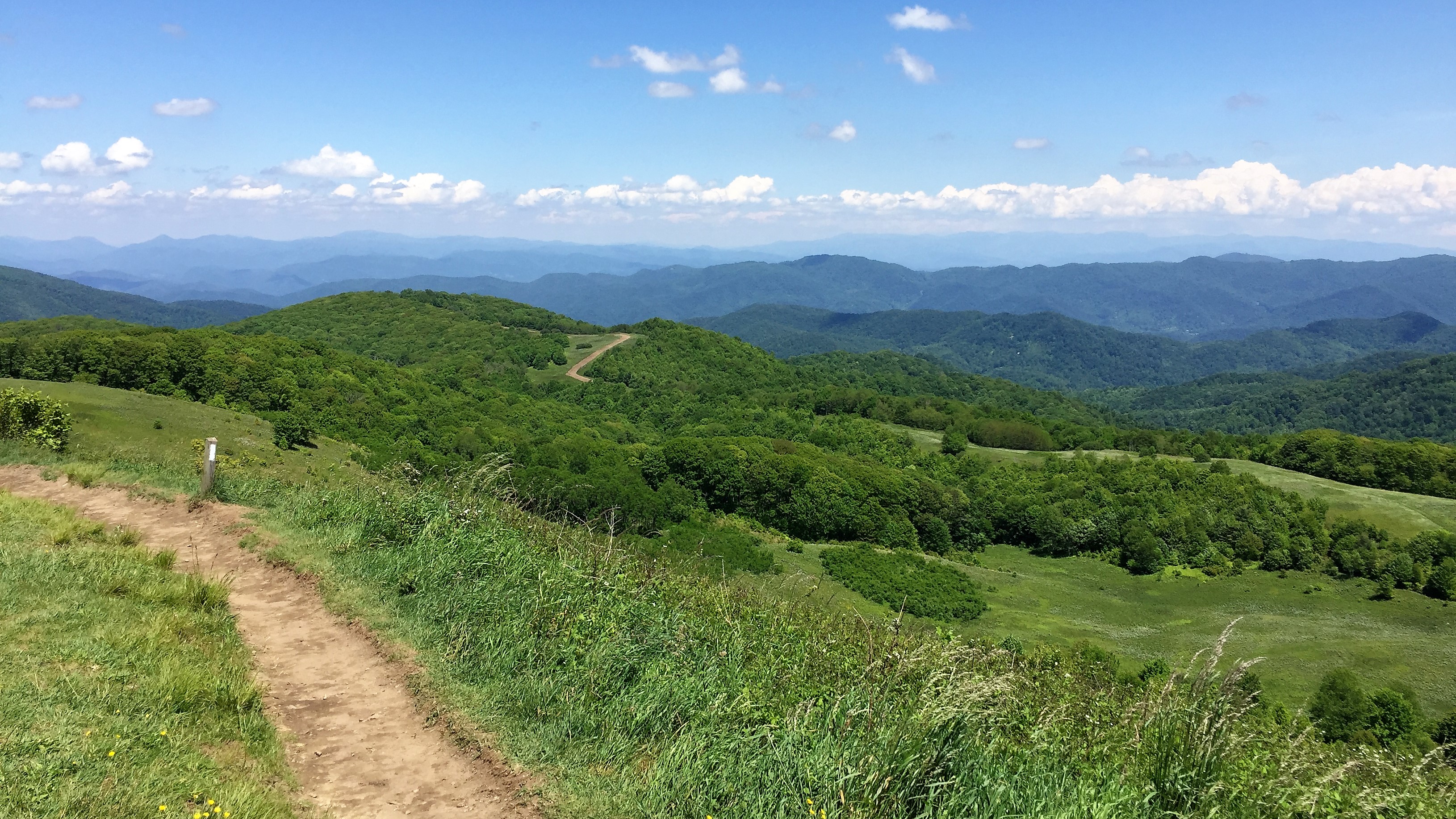
The Appalachian Trail
Max Patch - October 12, 2013-036

IMG_1838_tonemapped-2

View from Max Patch, looking east

Max Patch - October 12, 2013-052

Max Patch - October 12, 2013-065
Max Patch - October 12, 2013-026

View from Meadow Creek Firetower
NC 209 Scenic View
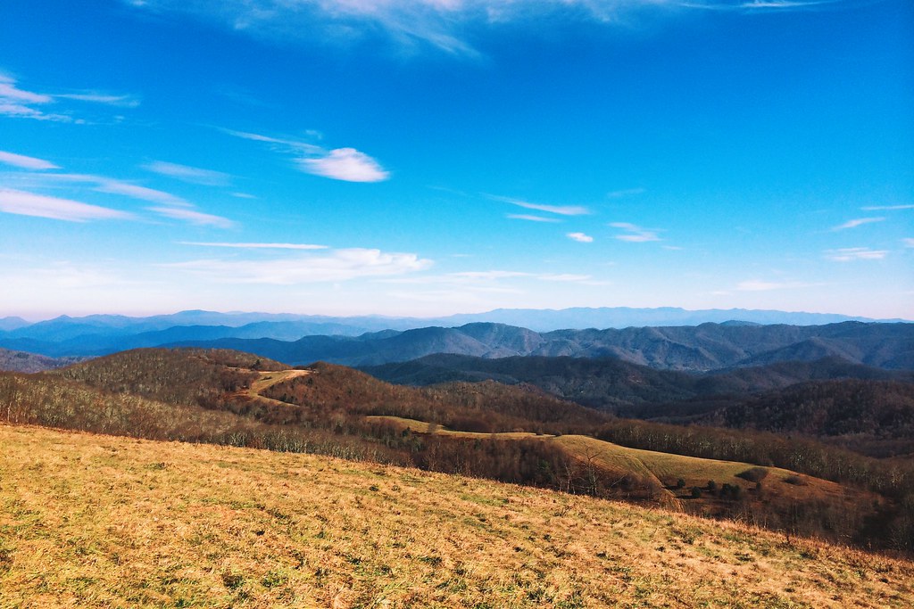
View looking north from Max Patch

Max Patch, N.C.

View From Max Patch
Max Patch
2013-11-19 13.41.21

western north carolina #sky #clouds #appalachian #mountains #landscape

Standing on top of #maxpatch , the bald #mountain. Beautiful #sunset behind #clouds

View from Max Patch
The Road Less Traveled

Hot Srings Oct 08 296
Misty Mountains #iphoneography #landscape #mountains #northcarolina #mist
On Max Patch Bald on the TN/NC state line.
Max Patch mountain

down in the valley

Max Patch, N.C. Sunset

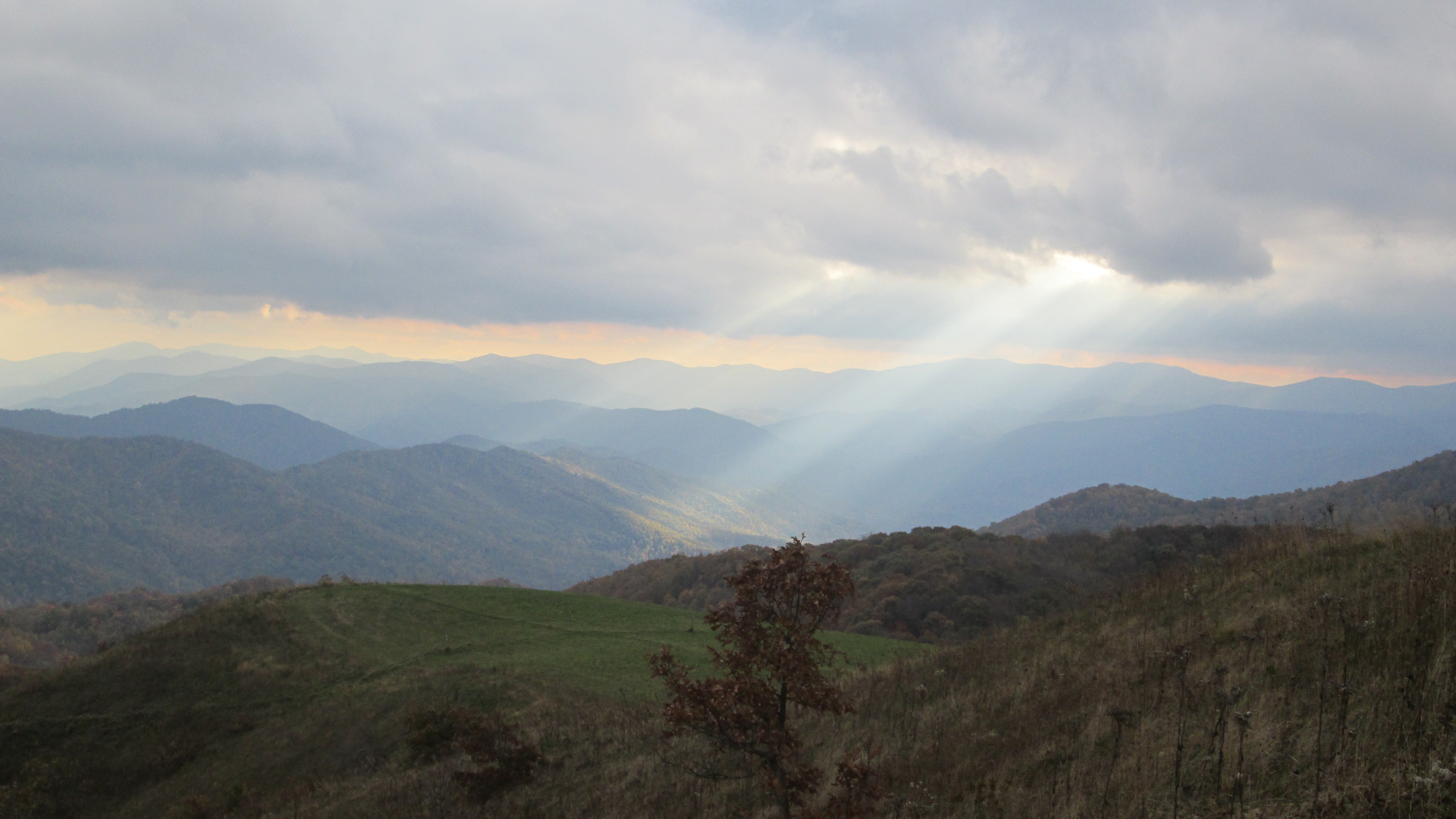
Max Patch Sunrise
Best place on the planet to camp.
Hot Srings Oct 08 240
Topographic Map of Rebel Dr, Hot Springs, NC, USA
Find elevation by address:

Places near Rebel Dr, Hot Springs, NC, USA:
Paint Rock
694 Paint Rock Rd
692 Paint Rock Rd
2123 Paint Rock Rd
Island Hollow Road
Lawson Lane
Paint Mountain
1012 Upper Shut In Rd
East Lawson Road
Paint Mountain Road
143 E Lawson Rd
4215 Upper Shut In Rd
4215 Upper Shut In Rd
4215 Upper Shut In Rd
US-25, Del Rio, TN, USA
6, Hot Springs
60 Stamey Dr
3214 Lower Paint Creek Rd
240 Joe Pye Ln
Hot Springs Elementary School
Recent Searches:
- Elevation of Corso Fratelli Cairoli, 35, Macerata MC, Italy
- Elevation of Tallevast Rd, Sarasota, FL, USA
- Elevation of 4th St E, Sonoma, CA, USA
- Elevation of Black Hollow Rd, Pennsdale, PA, USA
- Elevation of Oakland Ave, Williamsport, PA, USA
- Elevation of Pedrógão Grande, Portugal
- Elevation of Klee Dr, Martinsburg, WV, USA
- Elevation of Via Roma, Pieranica CR, Italy
- Elevation of Tavkvetili Mountain, Georgia
- Elevation of Hartfords Bluff Cir, Mt Pleasant, SC, USA