Elevation of E Lawson Rd, Hot Springs, NC, USA
Location: United States > North Carolina > Madison County > 6, Hot Springs > Hot Springs >
Longitude: -82.862831
Latitude: 35.8990807
Elevation: 497m / 1631feet
Barometric Pressure: 95KPa
Elevation Map:
Satellite Map:
Related Photos:
Houston Valley

Rich Mountain Fire Tower

Rich Mountain Fire Tower
Buckeye Ridge, Max Patch, North Carolina

Room with a view

Rich Mountain Fire Tower

Rich Mountain Fire Tower

The Appalachian Trail

Very hazy view of Tenn from Max Patch

Celebrating the 4th of July

View of Tennessee from Max Patch Bald

max patch

View From Max Patch

The Smokey Mountains

Max Patch

View from Max Patch

View from Max Patch

Fall on Max Patch
MAX PATCH BALD

max patch mayapple fields

NC 209 Scenic View

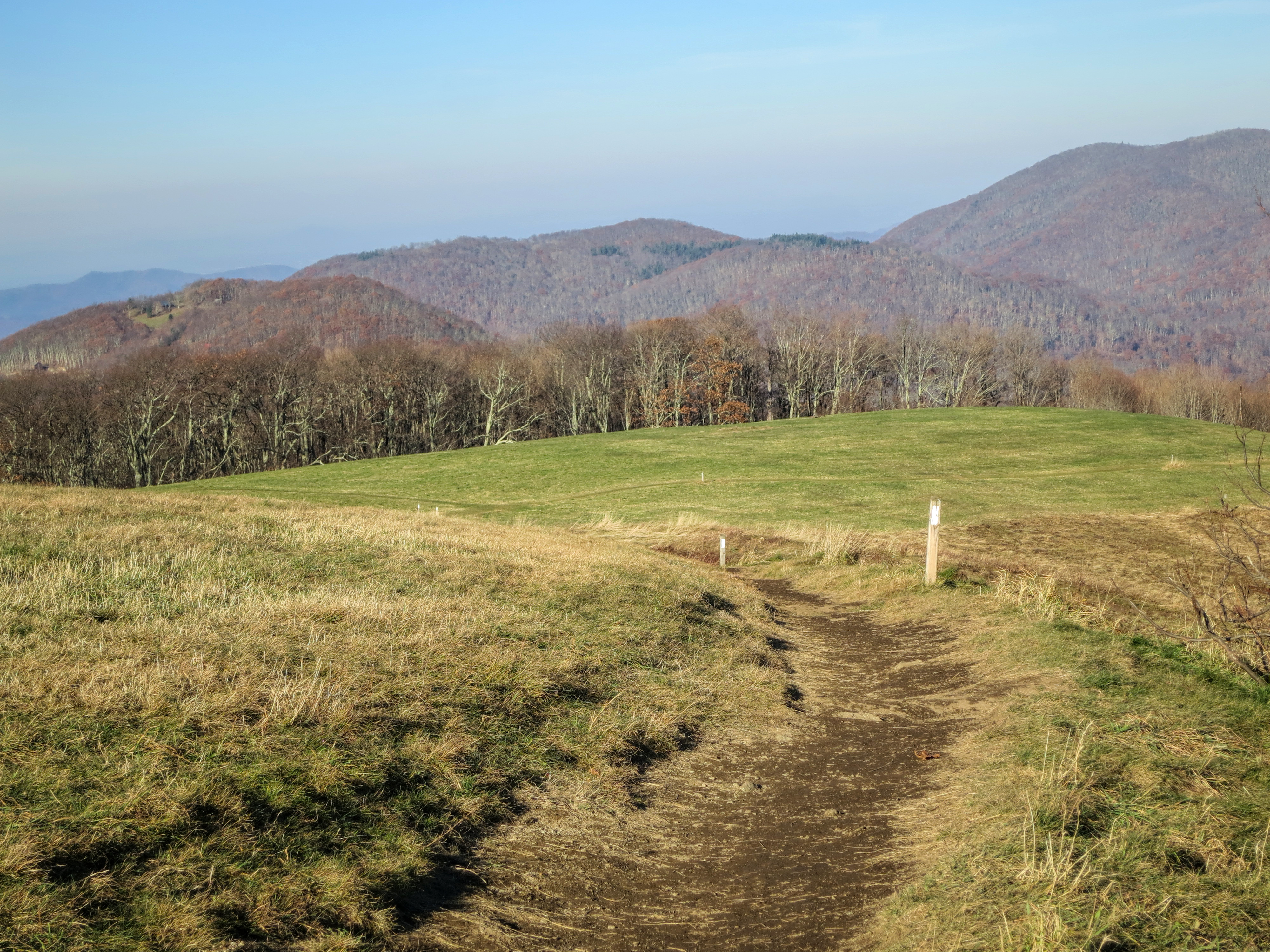
The Hike

Long walk up

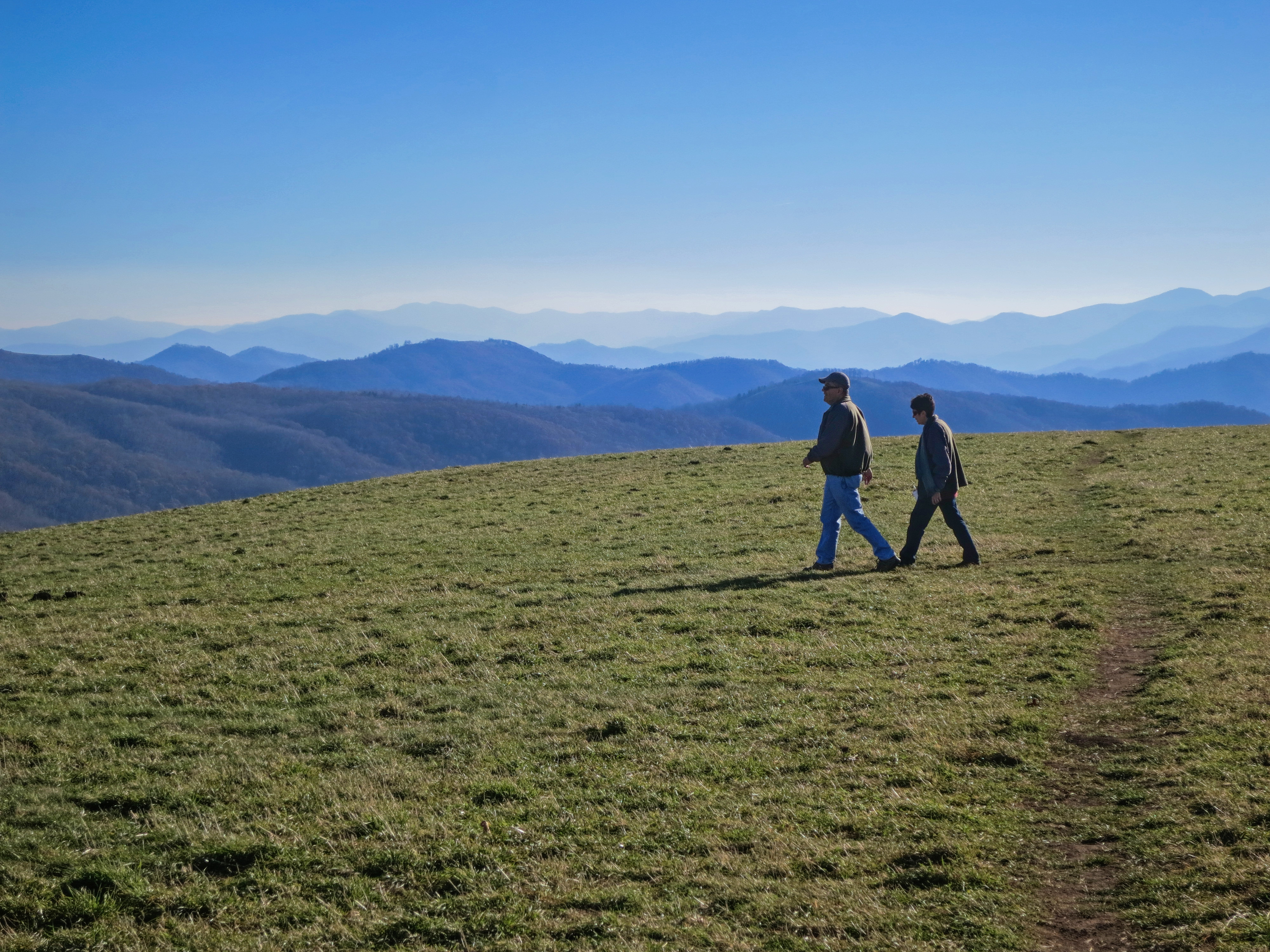
On Max Patch Bald on the TN/NC state line.

Max Patch---Appalachian Trail

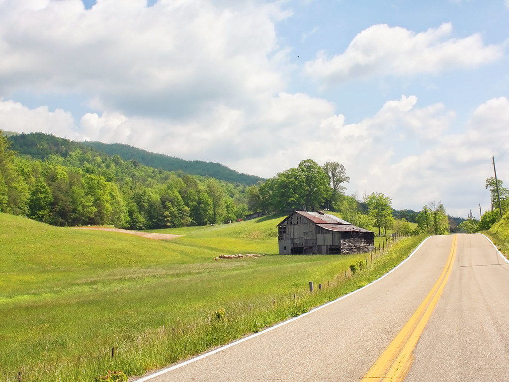
Hot Springs
Appalachian Trail on Max Patch

Allen Branch Pond, Cherokee National Forest, Tennessee

Kelley Falls
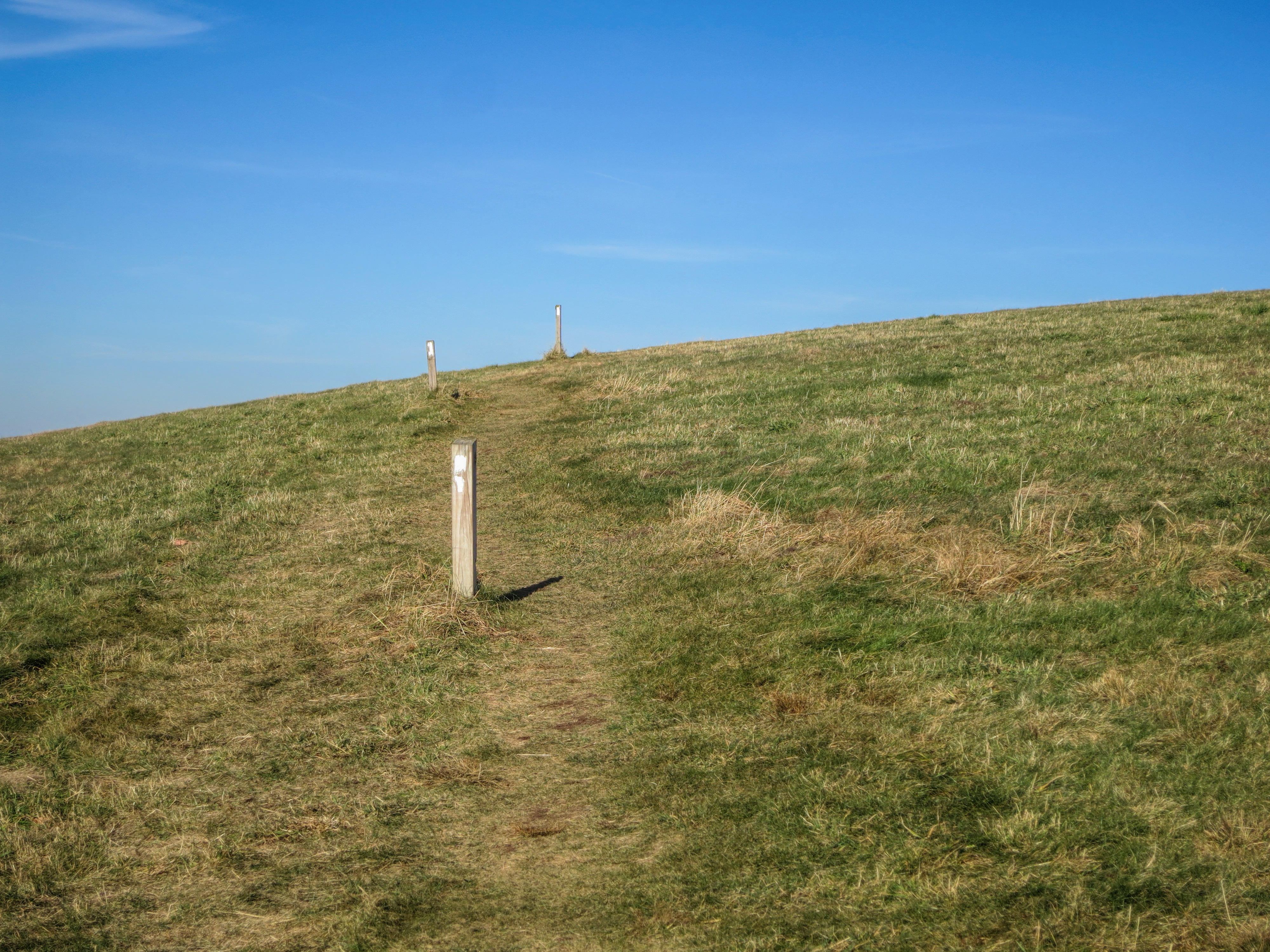
MaxPatch Bald Applachian Trail
MaxPatch Bald Applachian Trail 2

The Road Less Traveled

Meadow Creek Lookout Tower
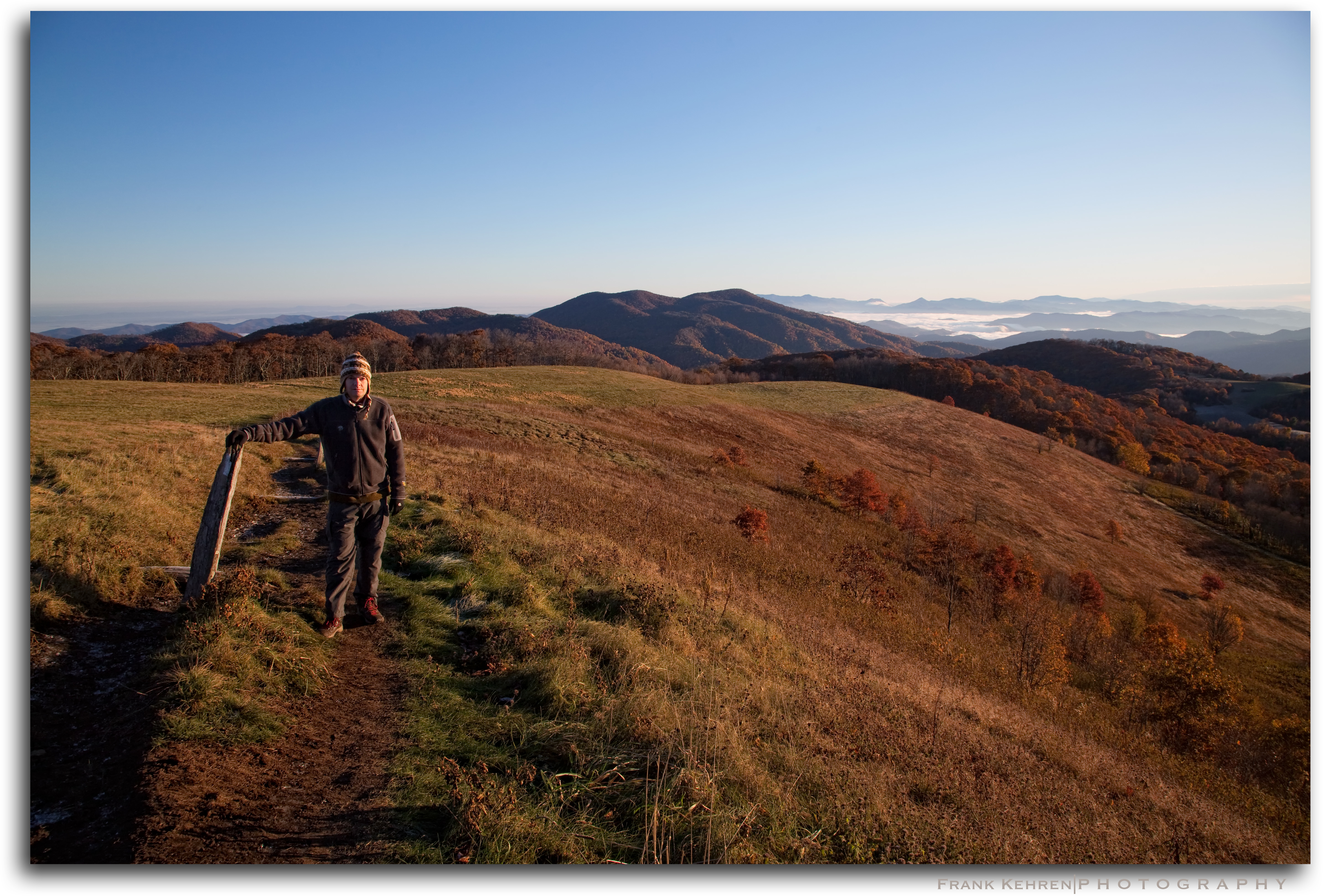
MaxPatch Bald David & Angela

Dudley Falls
Topographic Map of E Lawson Rd, Hot Springs, NC, USA
Find elevation by address:

Places near E Lawson Rd, Hot Springs, NC, USA:
East Lawson Road
Lawson Lane
4215 Upper Shut In Rd
4215 Upper Shut In Rd
4215 Upper Shut In Rd
1012 Upper Shut In Rd
6, Hot Springs
60 Stamey Dr
Island Hollow Road
Hot Springs Elementary School
181 Lawson St
Trail
Trail
Trail
204 Lawson St
Hot Springs
Bob Sinners
71 N Spring St
124 Bridge St
441 Rebel Dr
Recent Searches:
- Elevation of Corso Fratelli Cairoli, 35, Macerata MC, Italy
- Elevation of Tallevast Rd, Sarasota, FL, USA
- Elevation of 4th St E, Sonoma, CA, USA
- Elevation of Black Hollow Rd, Pennsdale, PA, USA
- Elevation of Oakland Ave, Williamsport, PA, USA
- Elevation of Pedrógão Grande, Portugal
- Elevation of Klee Dr, Martinsburg, WV, USA
- Elevation of Via Roma, Pieranica CR, Italy
- Elevation of Tavkvetili Mountain, Georgia
- Elevation of Hartfords Bluff Cir, Mt Pleasant, SC, USA