Elevation of Rea Road, Rea Rd, Mayo River, VA, USA
Location: United States > Virginia > Patrick County > Mayo River >
Longitude: -80.075738
Latitude: 36.5917201
Elevation: 311m / 1020feet
Barometric Pressure: 98KPa
Elevation Map:
Satellite Map:
Related Photos:

2879 Rock Spring Plantation Img_21036

Mtn View Baptist

Christian View Pentacostal
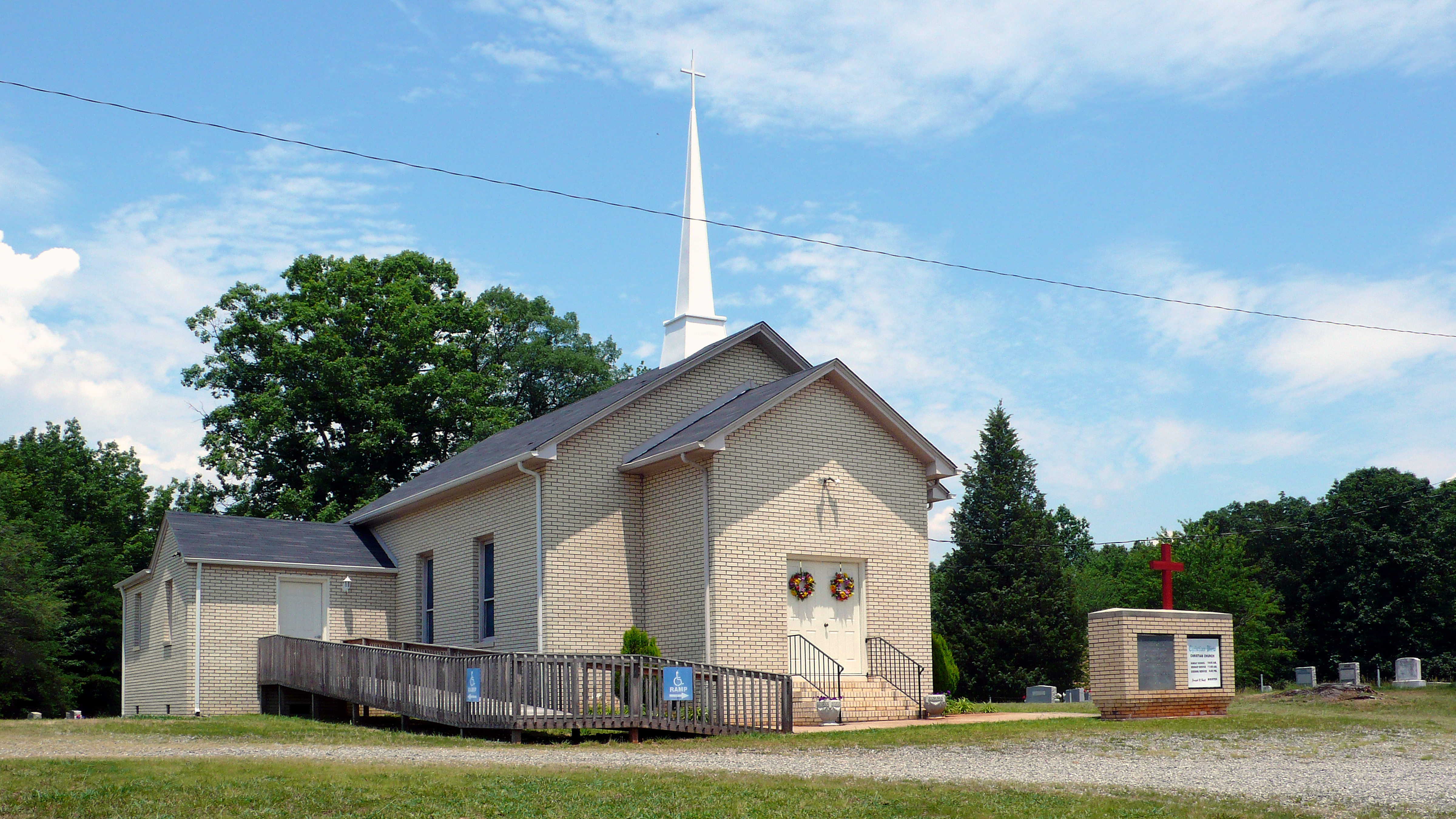
Christian View Christian Church

Current view. #lambstock2016

Mountain View Baptist

Mountain View Baptist

Mountain View Baptist

2893 Tobacco Barn Img_21048

Prairie Warbler 20150411001060

Mayo River North Section of park near VA, Mayo River SP NC 8144

Mayo River North Section of park near VA, Mayo River SP NC 8147

Mayo River North Section of park near VA, Mayo River SP NC 8143

Mayo River North Section of park near VA, Mayo River SP NC 8149
Mayo River North Section of park near VA, Mayo River SP NC 8152

Mayo River North Section of park near VA, Mayo River SP NC 8151

Hermit Thrush 20141103001011

Prarie Warbler 20160613001029

Yellow-billed Cuckoo 20150904001016

Yellow-breasted Chat 20160614001160

Prarie Warbler 20160614001090

2012-11-11 11.32.50.jpg
Topographic Map of Rea Road, Rea Rd, Mayo River, VA, USA
Find elevation by address:

Places near Rea Road, Rea Rd, Mayo River, VA, USA:
Rea Road
Rea Road
1134 Penn Store Rd
1134 Penn Store Rd
Buck Run Drive
Buck Run Drive
Buck Run Drive
383 Glenn Ln
670 Skyview Trail
670 Skyview Trail
Spencer
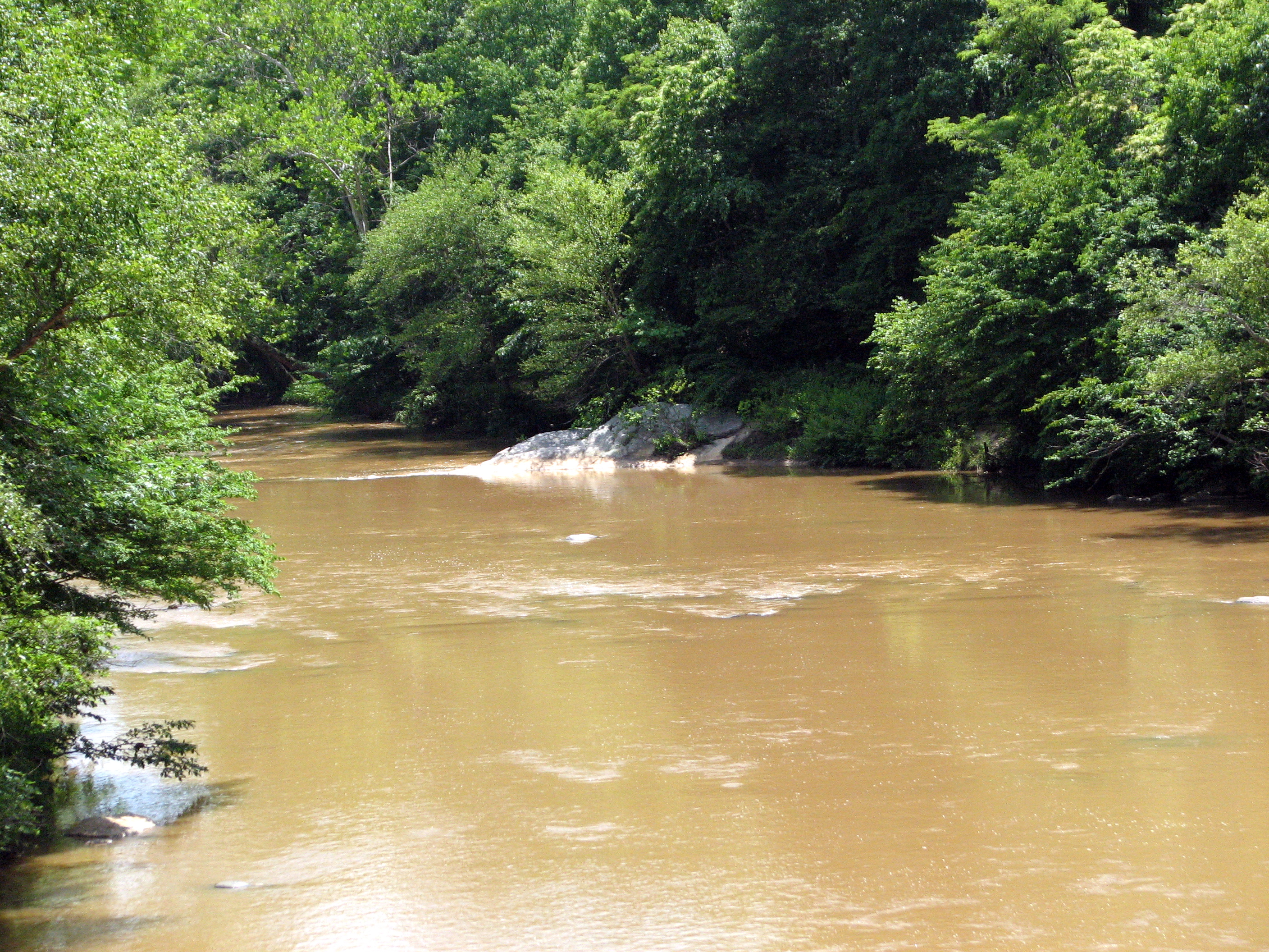
Mayo River
Critz
6981 Abram Penn Hwy
282 Salem Church Rd
256 Wilson Mill Rd
Horsepasture
Horsepasture
Horsepasture
Horsepasture
Recent Searches:
- Elevation of Corso Fratelli Cairoli, 35, Macerata MC, Italy
- Elevation of Tallevast Rd, Sarasota, FL, USA
- Elevation of 4th St E, Sonoma, CA, USA
- Elevation of Black Hollow Rd, Pennsdale, PA, USA
- Elevation of Oakland Ave, Williamsport, PA, USA
- Elevation of Pedrógão Grande, Portugal
- Elevation of Klee Dr, Martinsburg, WV, USA
- Elevation of Via Roma, Pieranica CR, Italy
- Elevation of Tavkvetili Mountain, Georgia
- Elevation of Hartfords Bluff Cir, Mt Pleasant, SC, USA