Elevation of Critz, VA, USA
Location: United States > Virginia > Patrick County > Mayo River >
Longitude: -80.144919
Latitude: 36.6303641
Elevation: 352m / 1155feet
Barometric Pressure: 97KPa
Elevation Map:
Satellite Map:
Related Photos:

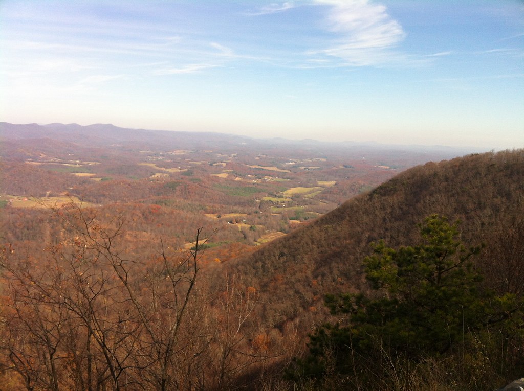
View from Above

VA 8 North approaching VA 103

Current view. #lambstock2016

sly by the lake

on our morning stroll by the lake

Pretty evening
2012-11-11 11.32.50.jpg
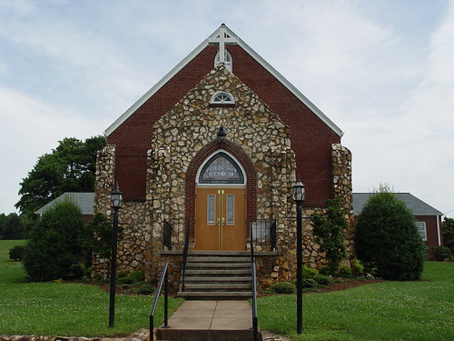
Buffalo Mountain Church

Buffalo Mountain Church

Trip To Fairy Stone Park
So sorry to have had to leave early from this raucous & #delicious paradise - #Lambstock #VAstyle #lamb

Storm over the Orchard
Topographic Map of Critz, VA, USA
Find elevation by address:

Places in Critz, VA, USA:
Places near Critz, VA, USA:
383 Glenn Ln
Buck Run Drive
Buck Run Drive
Buck Run Drive
Mayo River
282 Salem Church Rd
6981 Abram Penn Hwy
331 Marino Dr
331 Marino Dr
331 Marino Dr
331 Marino Dr
331 Marino Dr
331 Marino Dr
2989 Hardie Stone Rd
Rea Road
Rea Road
Rea Road
291 Anthony Dr
3866 State Rte 702
51 Ridgewood Rd
Recent Searches:
- Elevation of Corso Fratelli Cairoli, 35, Macerata MC, Italy
- Elevation of Tallevast Rd, Sarasota, FL, USA
- Elevation of 4th St E, Sonoma, CA, USA
- Elevation of Black Hollow Rd, Pennsdale, PA, USA
- Elevation of Oakland Ave, Williamsport, PA, USA
- Elevation of Pedrógão Grande, Portugal
- Elevation of Klee Dr, Martinsburg, WV, USA
- Elevation of Via Roma, Pieranica CR, Italy
- Elevation of Tavkvetili Mountain, Georgia
- Elevation of Hartfords Bluff Cir, Mt Pleasant, SC, USA