Elevation of Rd 22, Cortez, CO, USA

Location: United States > Colorado > Montezuma County > Cortez >

Longitude: -108.64675

Latitude: 37.5042678

Elevation: 2038m / 6686feet

Barometric Pressure: 79KPa

Elevation Map:

elevation map of Rd 22, Cortez, CO, USA

Satellite Map:

Satellite map of Rd 22, Cortez, CO, USA

Related Photos:

landscape autumn blue cattle fallcolor inverted nature pond reflection rural sky stockpond water yellow cortez co usa lake
Pond in the Sky
digital scan
Winter-Wonderland1
road trip travel vacation holiday tourism digital canon way eos rebel high highway scenery kiss open view side scenic roadtrip tourist hwy views americana lonely roadside dslr xsi x2 loneliest loneliestroad 450d ontheopenroad canoneos450d canoneosdigitalrebelxsi kissdigitalx2canon noticings
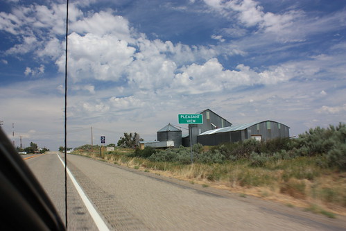
Pleasent View
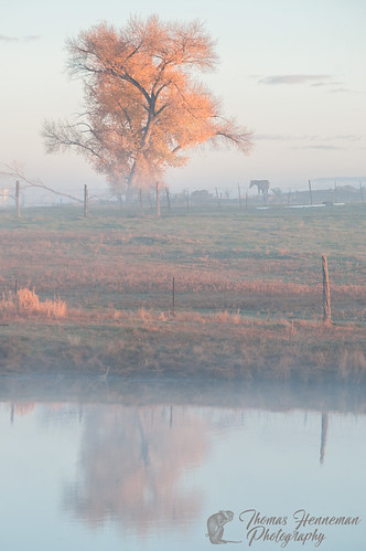
landscape america autumn autumncolor color colorado cortez cottonwood earlymorninglight fall fallcolor farm fence fencepost field horse montezumavalley nature orange organic pasture pond ranch rural southwest stockpond tree usa water co
Morning Mist
old usa classic cars abandoned field car vintage landscape junk colorado unitedstates random many harvest crop multiple junkyard dolores thunderbird tbird clunkers junkers dispersed
Crop of Junkers
airplane cloud colorado landscape skyscape spring dolores us rocky mountains montezuma county united states north america shared rockymountains montezumacounty unitedstates northamerica
Approaching the Rockies
us colorado unitedstates places dolores delores anasaziheritagecenterandmuseum
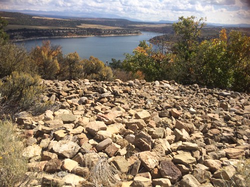
McPhee Reservoir from Anasazi Heritage Center and Museum
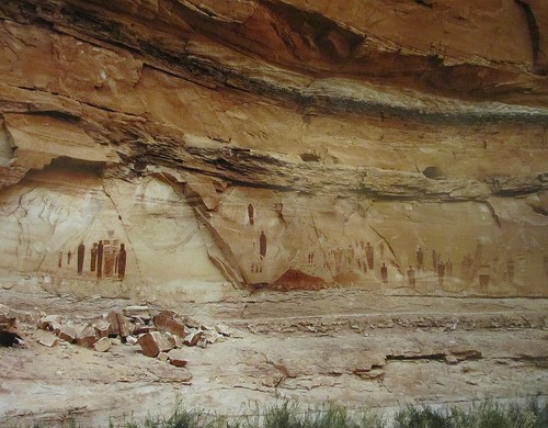
stone nationalpark ancient colorado petroglyphs canyonsoftheancients
Canyons of the Ancients #16
stone nationalpark ancient colorado canyonsoftheancients petroglyghs
Canyons of the Ancients #13
colorado damo anasaziheritagecenter
Rabbit weed
summer vacation usa 35mm nikon colorado july roadtrip co nikonfm10 summervacation americansouthwest nikon35mm 2013 southwesternusa ellenjo doloresco dolorescolorado ellenjoroberts fuji200speed july2013
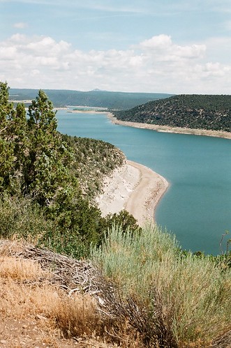
dolores mcphee reservoir 1
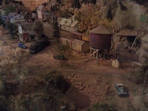
colorado dolores diorama montezumacounty riograndesouthern
Rio Grande Southern Depot- Dolores CO (4)
summer vacation usa 35mm nikon colorado july roadtrip co nikonfm10 summervacation americansouthwest nikon35mm 2013 southwesternusa ellenjo doloresco dolorescolorado ellenjoroberts fuji200speed july2013
dolores mcphee reservoir 2
travel roadtrip colorado usa utemountains utepeak mesaverde sky skies cloudyskies outdoor winteryscene mountain mountains road landscape field dnysmphotography dnysmsmugmugcom
Cortez - Mesa Verde and Ute Peak
tyeredhouse canon photography summer outdoors colorado travel roadtrip wander wandering explore mcphee lake plateaufire forestfire marina
IMG_0135 Poor McPhee.
doloresco
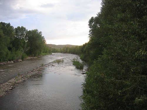
Dolores River Walk
doloresco
Dolores River Walk
lebanon usa geotagged colorado unitedstates dolores geo:lat=3748445268 geo:lon=10862457622
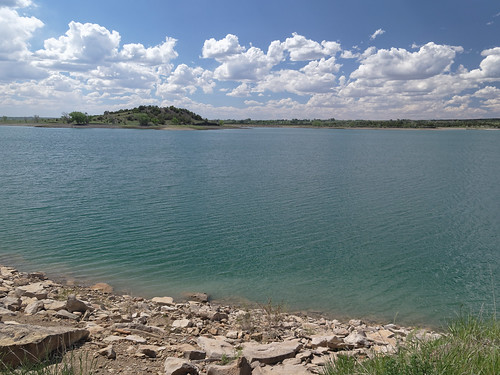
Narraguinnep Reservoir
anasazi dolores anasaziheritagecenter colorado
Escalante Pueblo
summer vacation colorado 2007
totten reservoir
Sleeping Ute
flowers mountains nature field colorado beyond anasaziheritagecenter
Ute Mountain
landscape person colorado myfamily anasaziheritagecenter
Mom in the distance