Elevation of Rayburn Creek Rd, Collinwood, TN, USA
Location: United States > Tennessee > Wayne County > Collinwood >
Longitude: -87.829061
Latitude: 35.137138
Elevation: 297m / 974feet
Barometric Pressure: 98KPa
Elevation Map:
Satellite Map:
Related Photos:
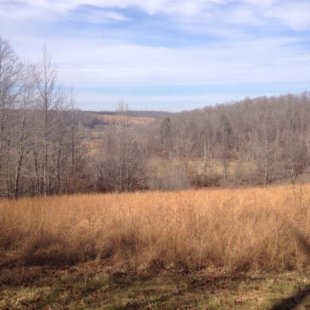
Nothing beats this view right here. #countrygirl #myphotos

My view this morning. Cooking breakfast.
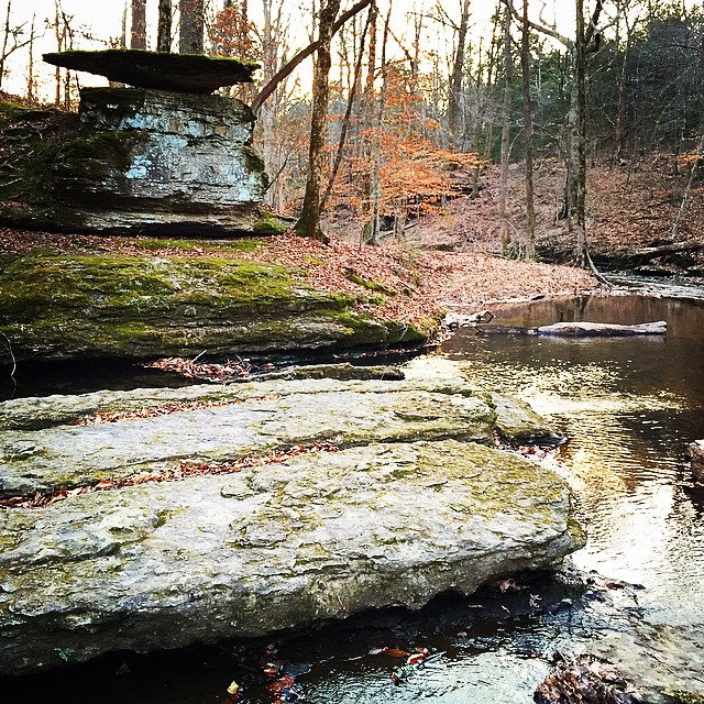
Found a nice spot to stretch my legs off of the Natchez Trace on my way back into town today.
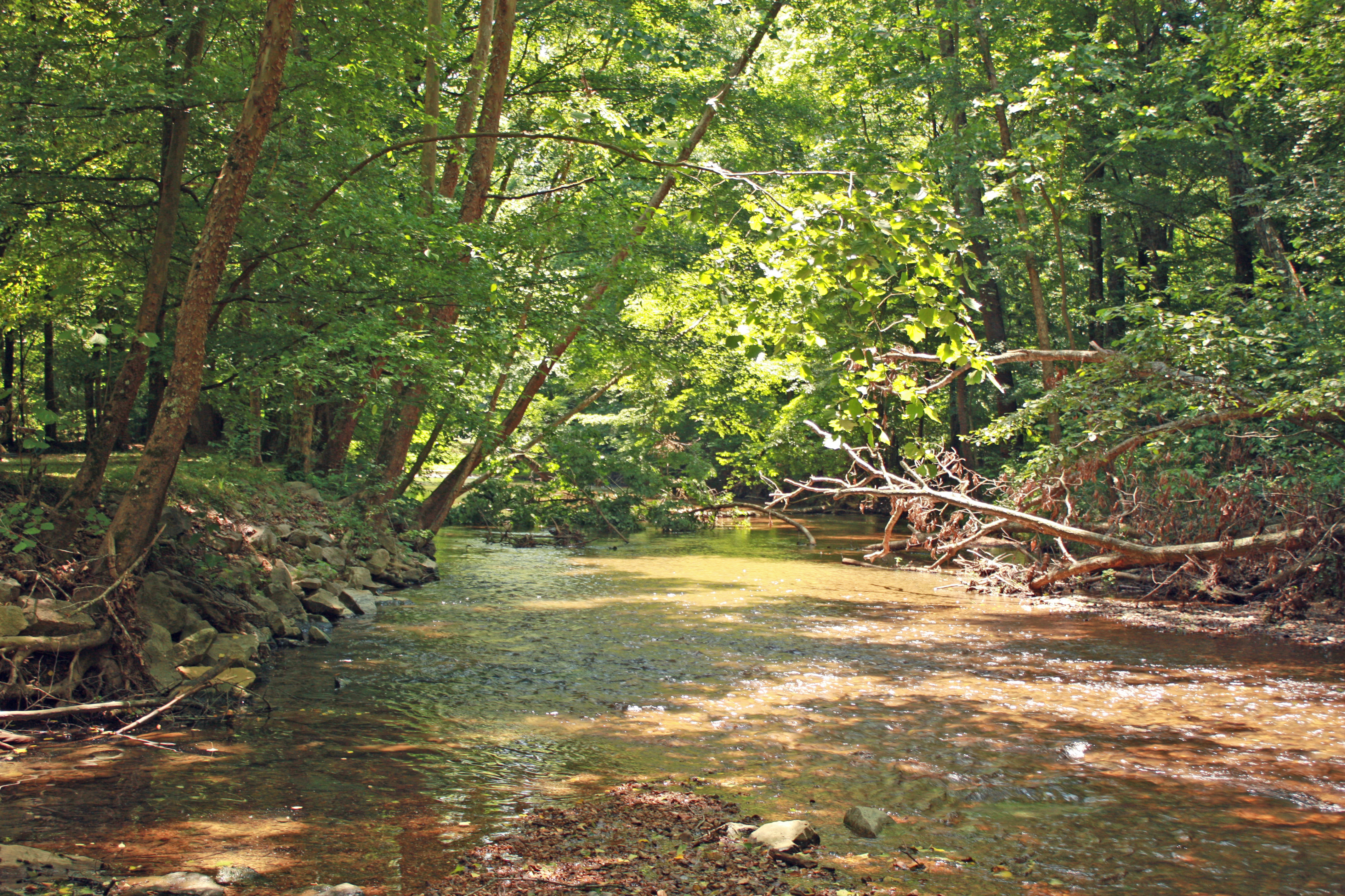
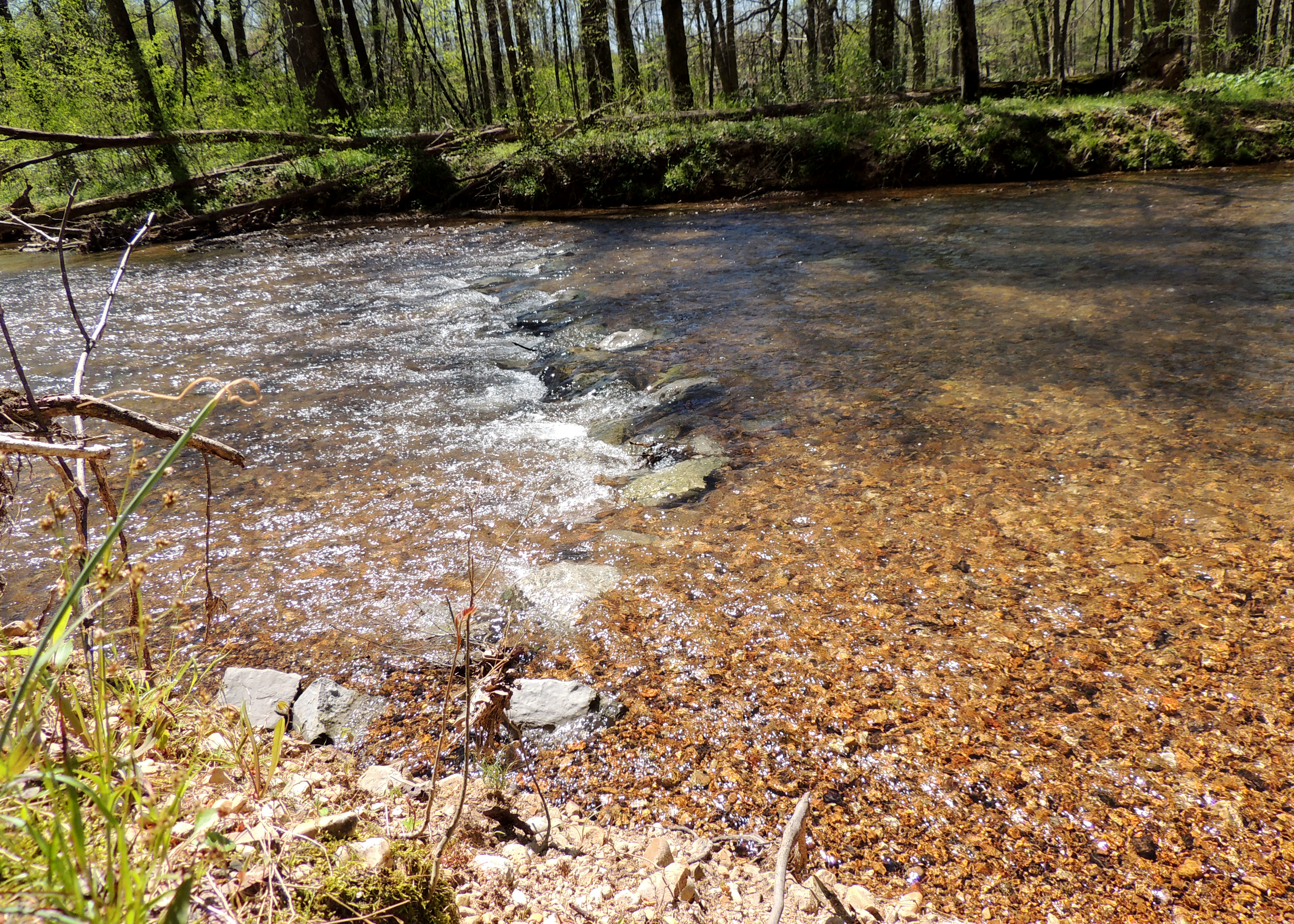
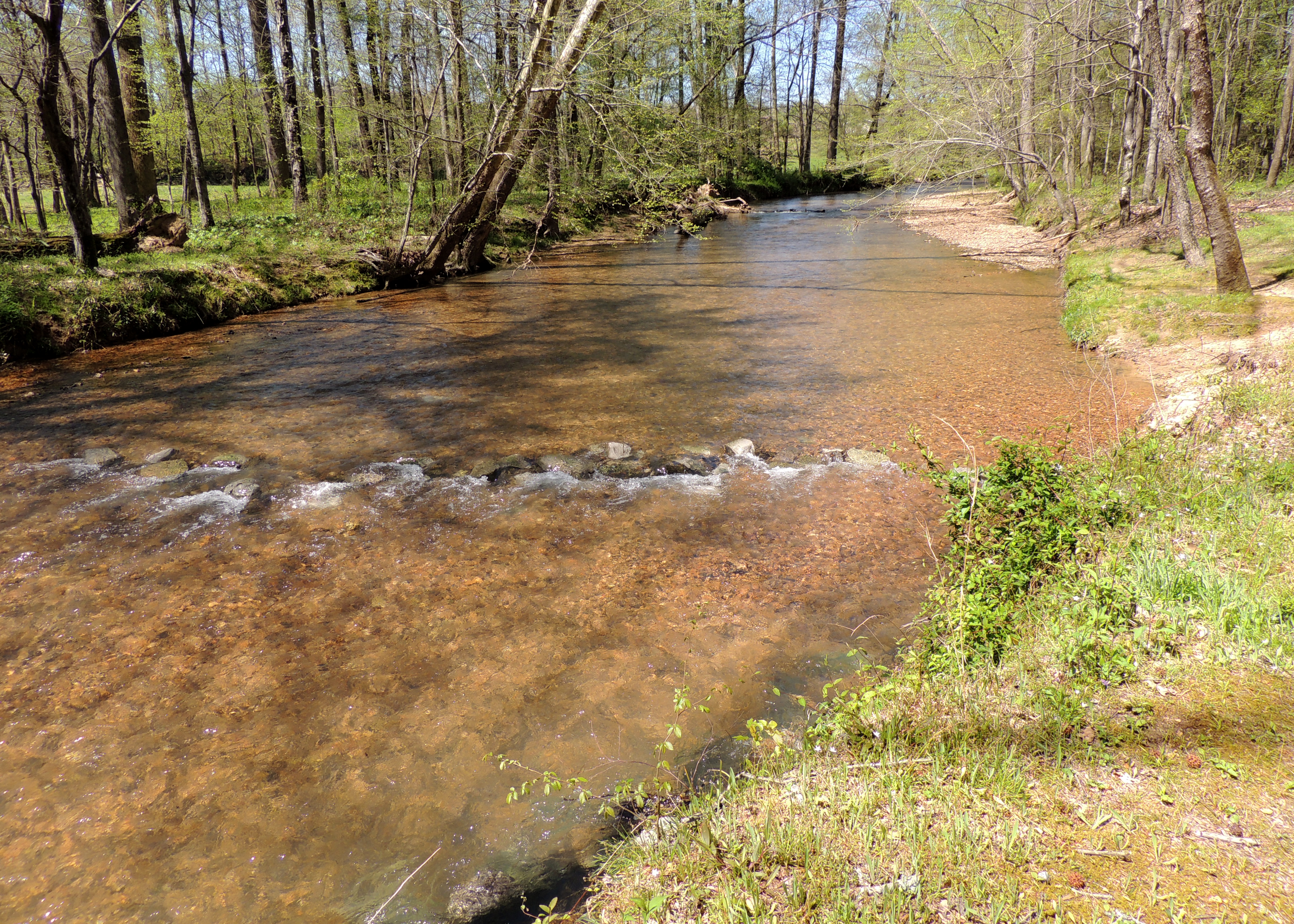
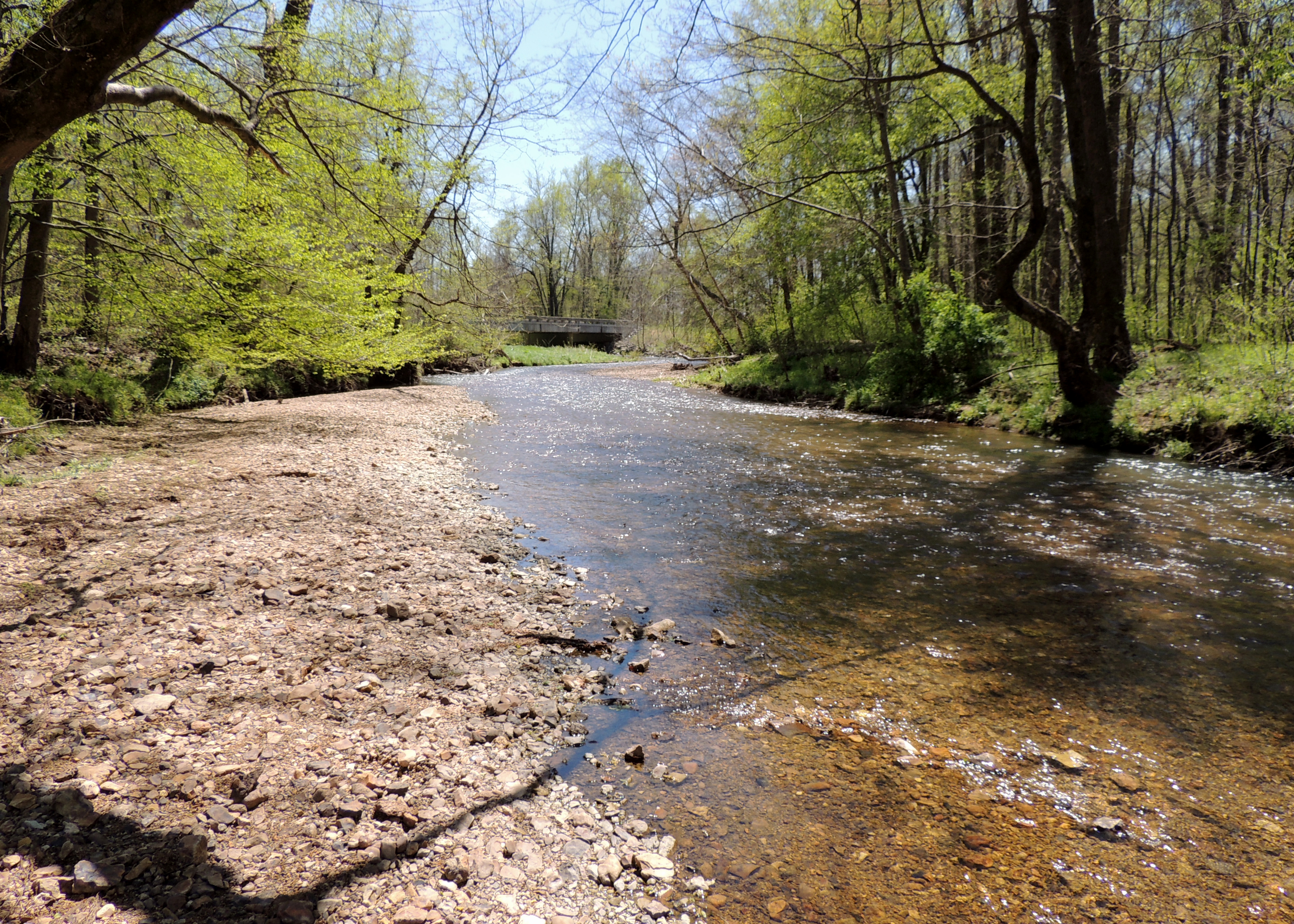
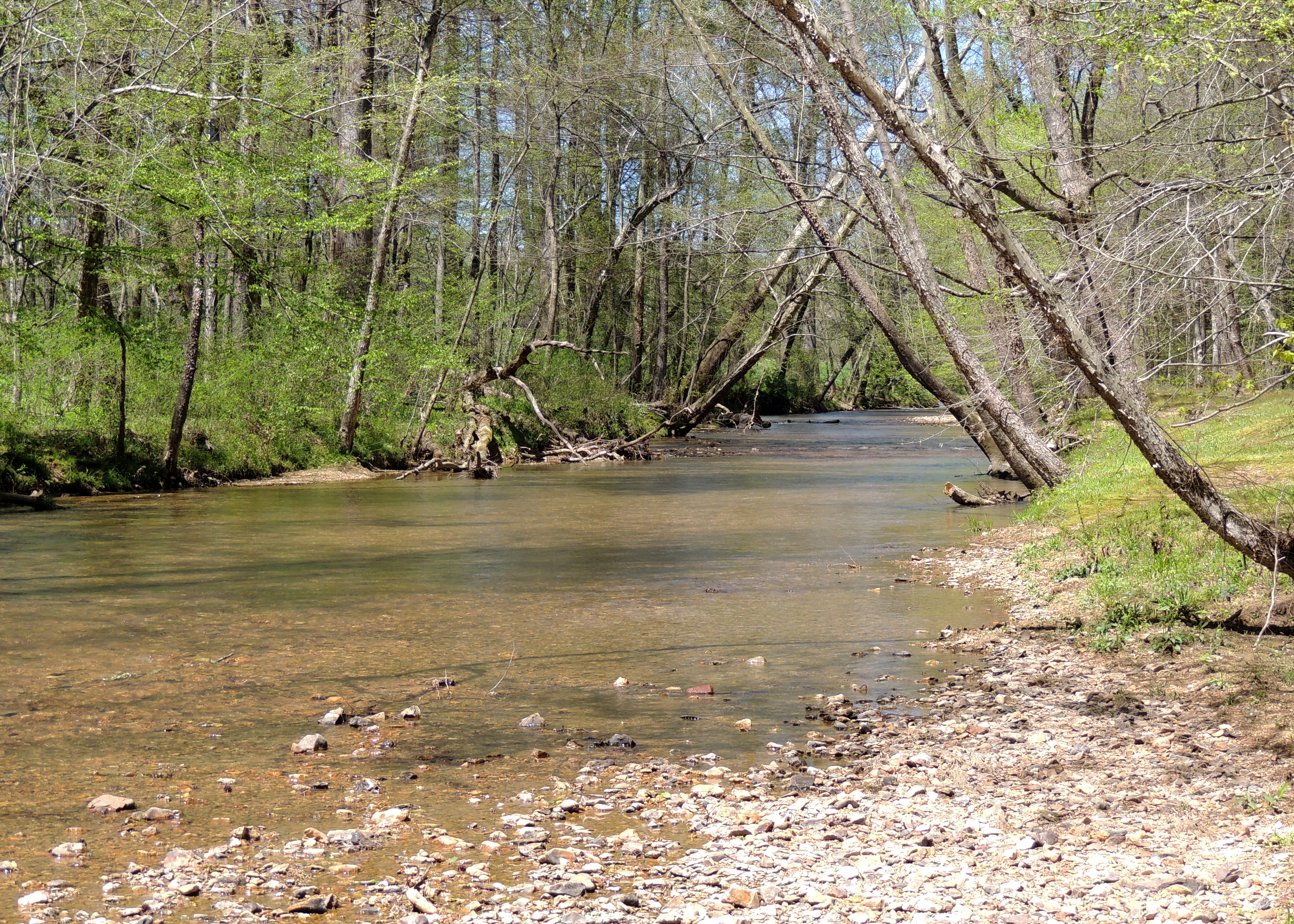
Scenic Stream
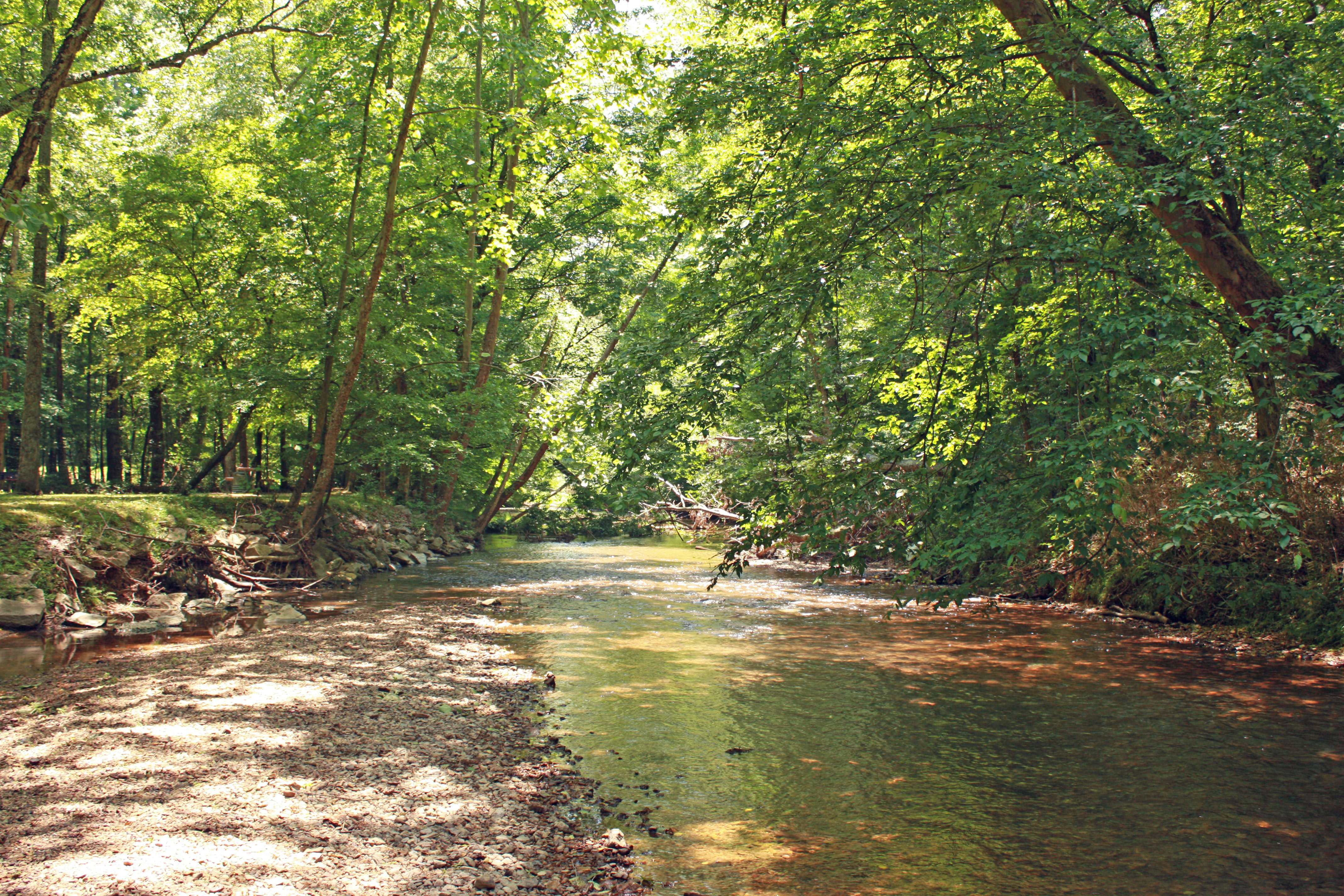
Scenic Stream
Natchez Trace
Natchez Trace
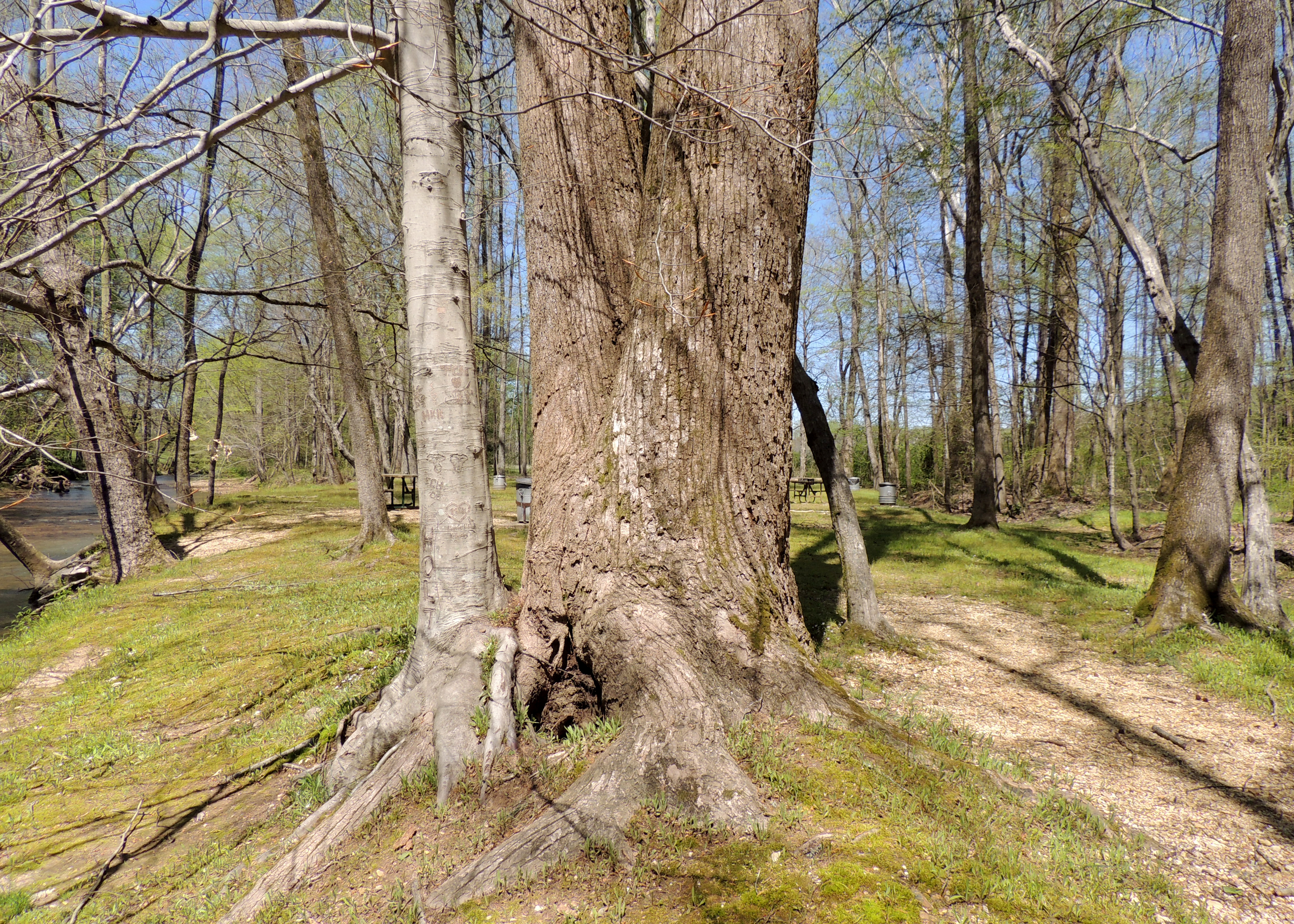
Natchez Trace
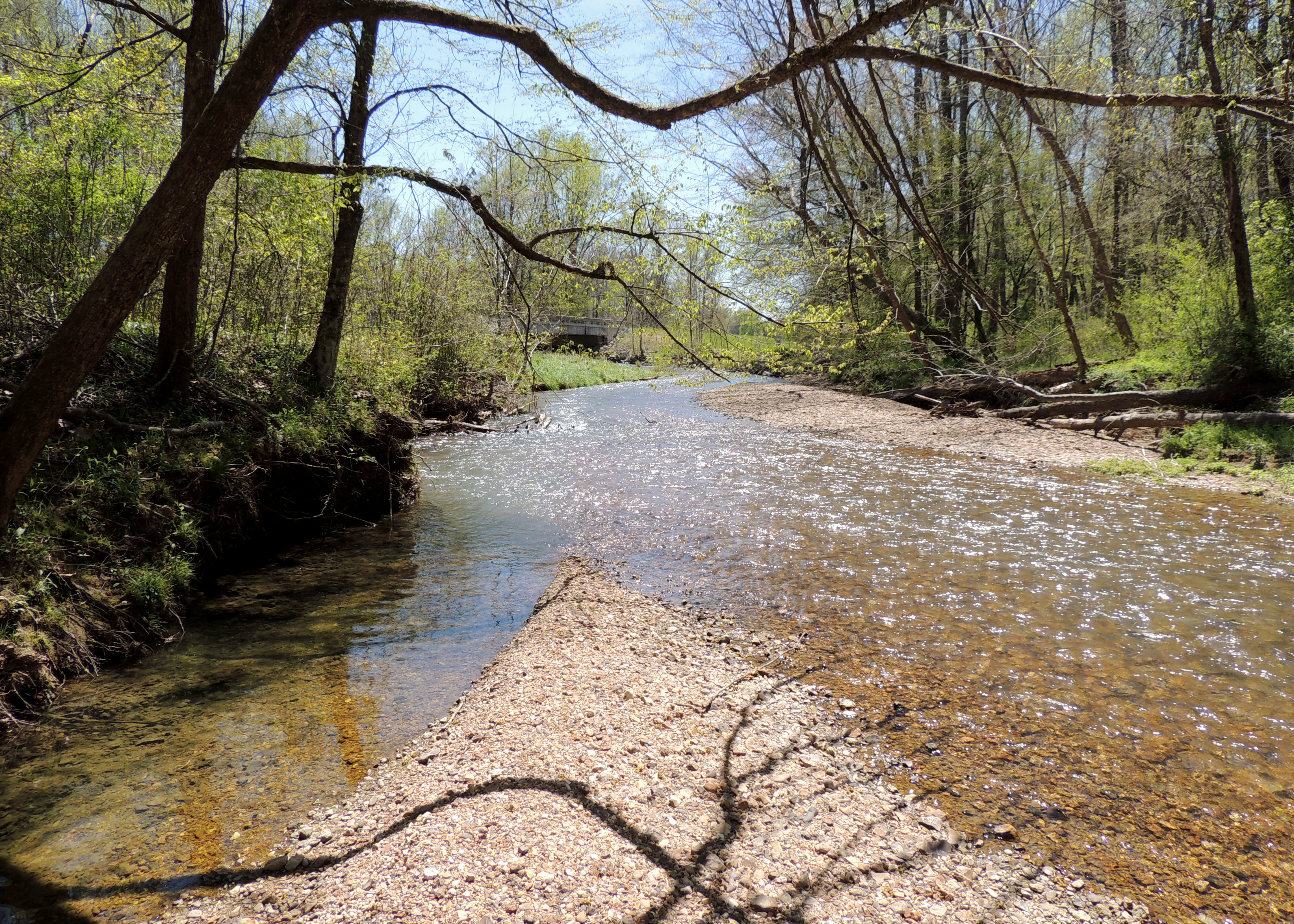
Natchez Trace
Natchez Trace
Natchez Trace
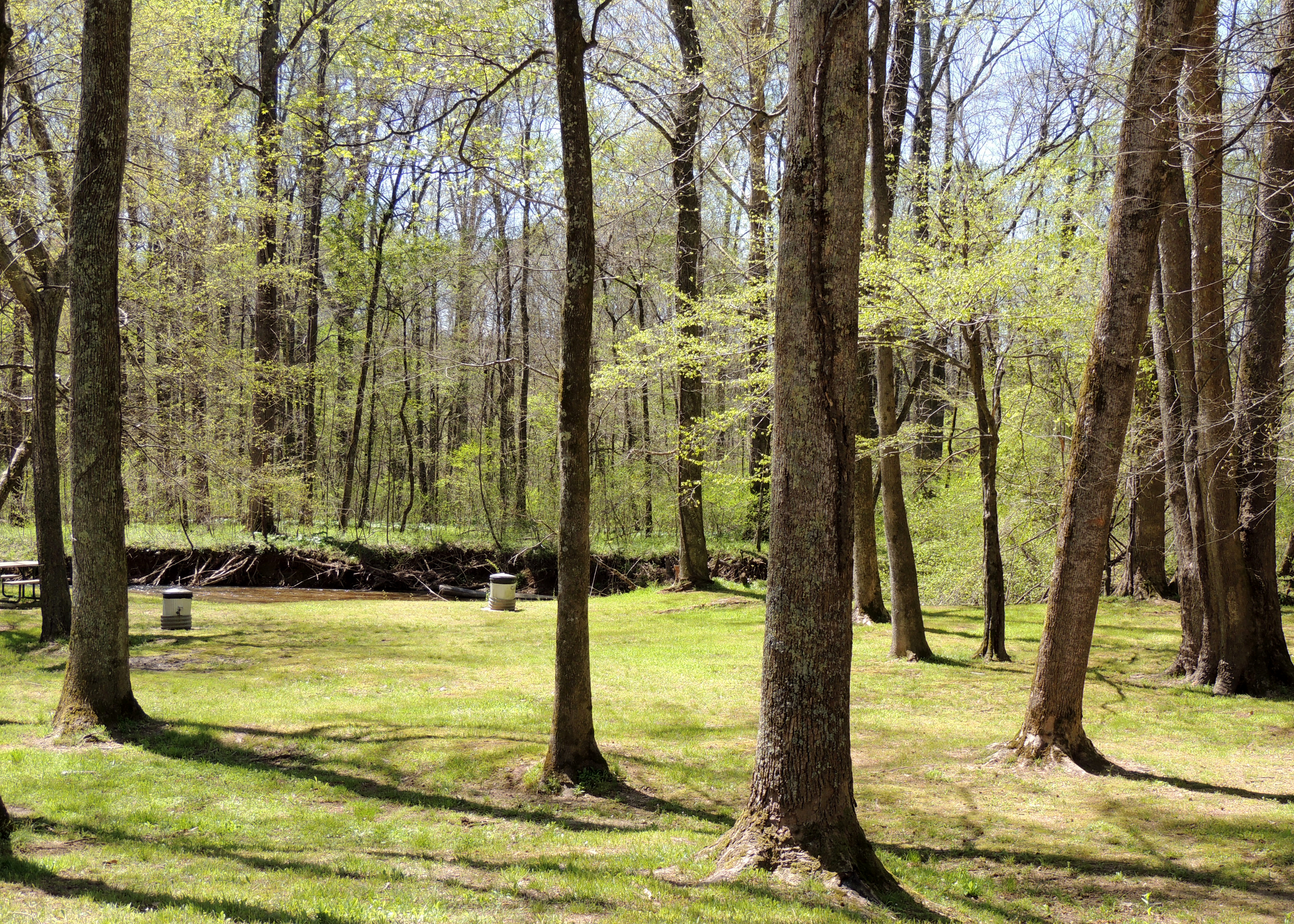
Natchez Trace
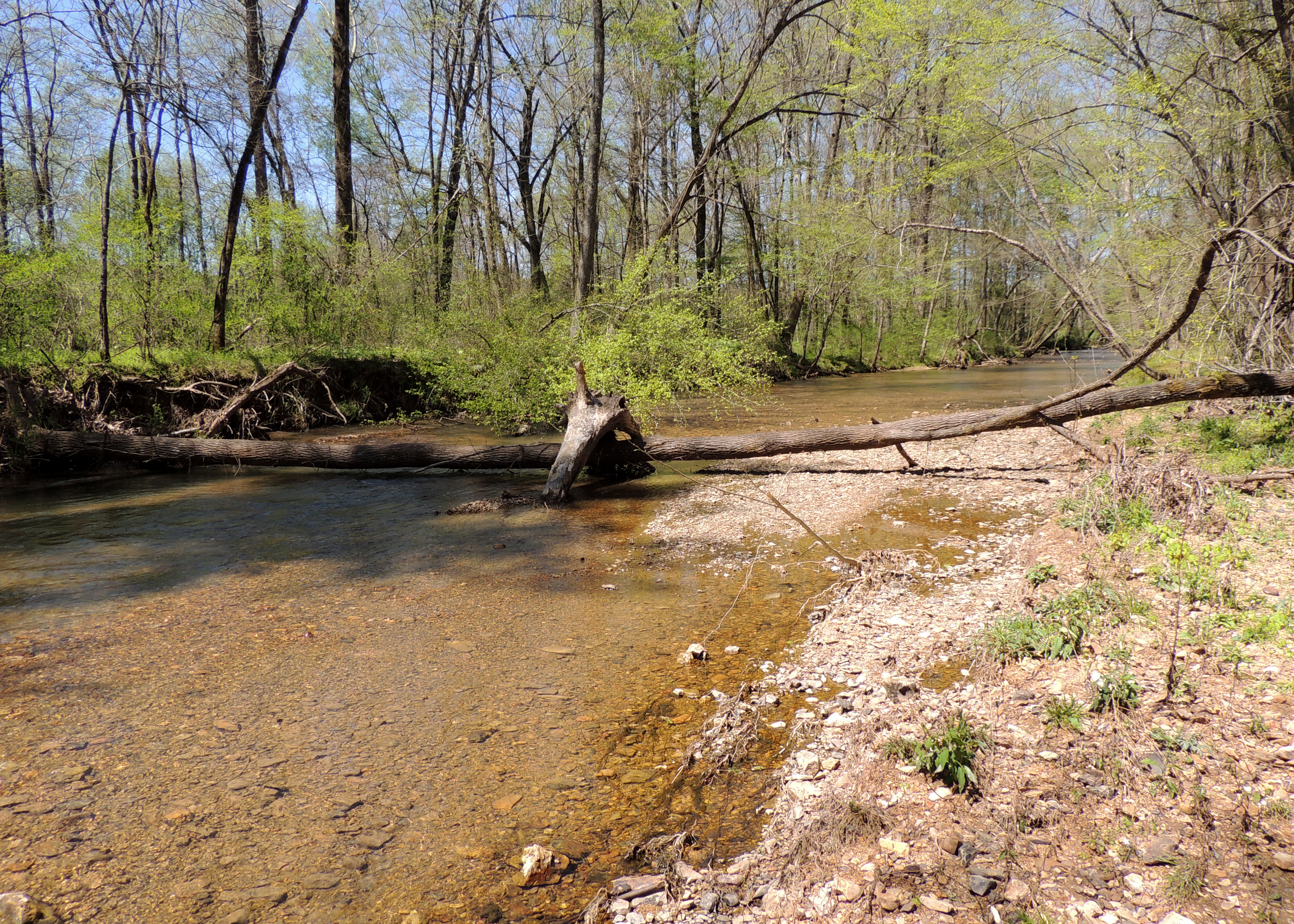
Natchez Trace
Topographic Map of Rayburn Creek Rd, Collinwood, TN, USA
Find elevation by address:

Places near Rayburn Creek Rd, Collinwood, TN, USA:
235 Von Tress Rd
Wright Ridge Rd, Cypress Inn, TN, USA
Cypress Inn
4121 Co Rd 10
1024 Co Rd 10
Chisholm Rd, Iron City, TN, USA
665 Gillis Rd
Lauderdale County 7, Florence, AL, USA
Williams Hollow Rd, Iron City, TN, USA
8210 Williams Hollow Rd
1080 Co Rd 106
1080 Co Rd 106
880 Co Rd 118
California Branch Rd, Westpoint, TN, USA
Walnut Grove
Co Rd 14, Florence, AL, USA
Chisholm Rd, Florence, AL, USA
2700 Co Rd 24
Iron City
Mt Zion Rd, Florence, AL, USA
Recent Searches:
- Elevation of Corso Fratelli Cairoli, 35, Macerata MC, Italy
- Elevation of Tallevast Rd, Sarasota, FL, USA
- Elevation of 4th St E, Sonoma, CA, USA
- Elevation of Black Hollow Rd, Pennsdale, PA, USA
- Elevation of Oakland Ave, Williamsport, PA, USA
- Elevation of Pedrógão Grande, Portugal
- Elevation of Klee Dr, Martinsburg, WV, USA
- Elevation of Via Roma, Pieranica CR, Italy
- Elevation of Tavkvetili Mountain, Georgia
- Elevation of Hartfords Bluff Cir, Mt Pleasant, SC, USA