Elevation of Rawhide Mountain, Nevada, USA
Location: United States > Pahrump >
Longitude: -116.42172
Latitude: 38.2891007
Elevation: 2730m / 8957feet
Barometric Pressure: 73KPa
Elevation Map:
Satellite Map:
Related Photos:
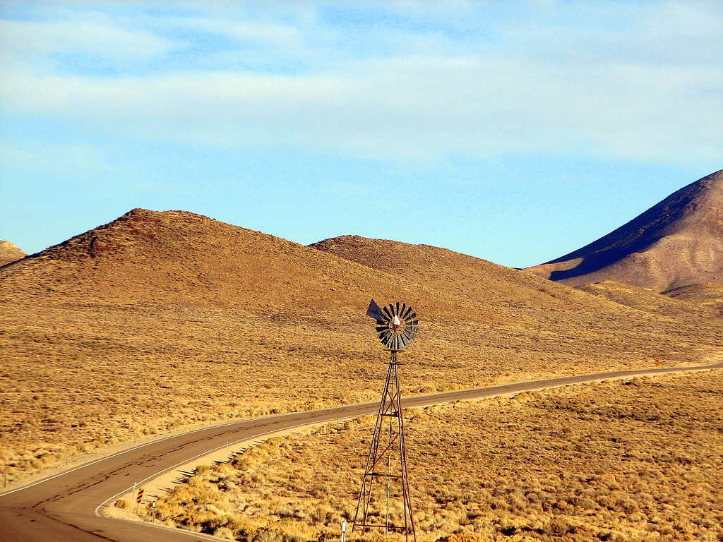
near Goldfield
No Access
Sunset on the Pass

Road_Trip_2013-00233
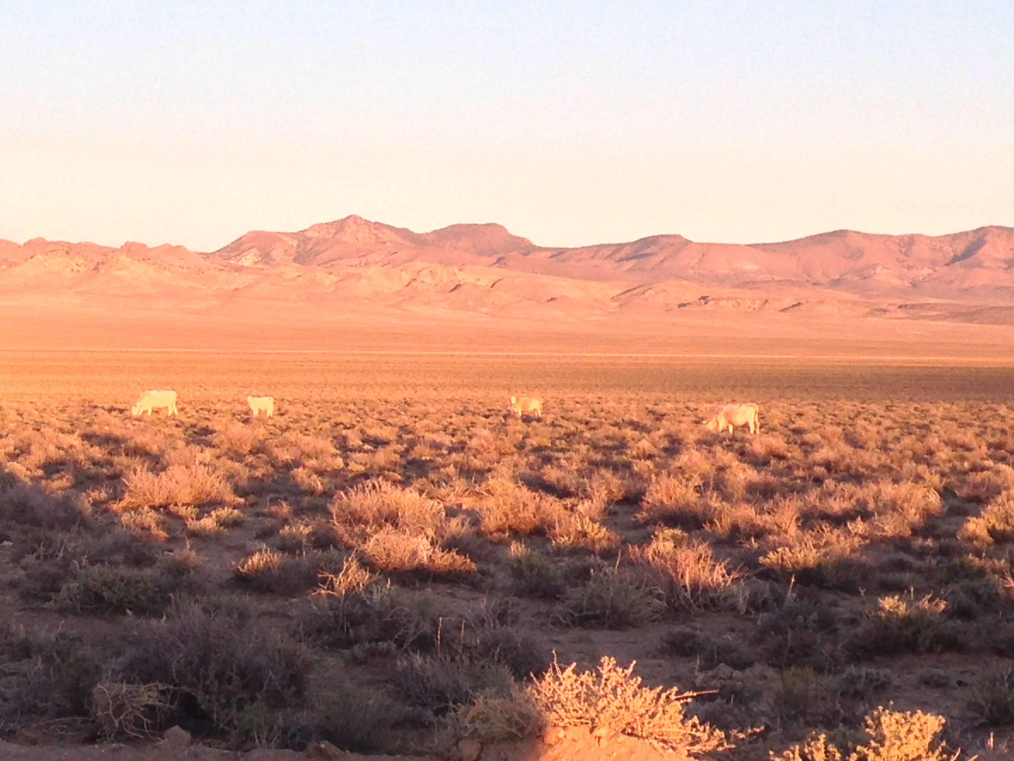
Cows in the setting sun
Nevada Off Limits
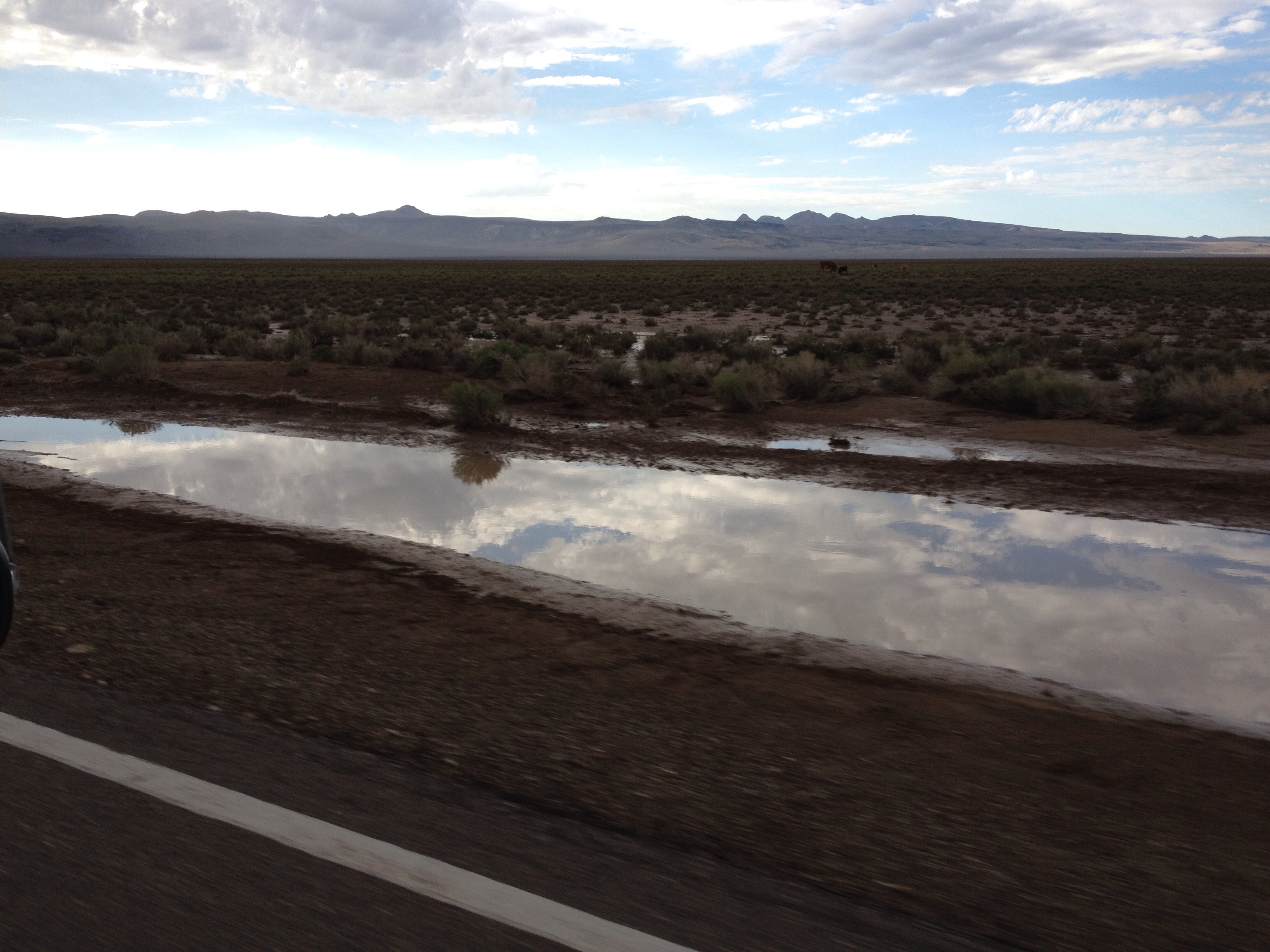
Sky in Water
Take II
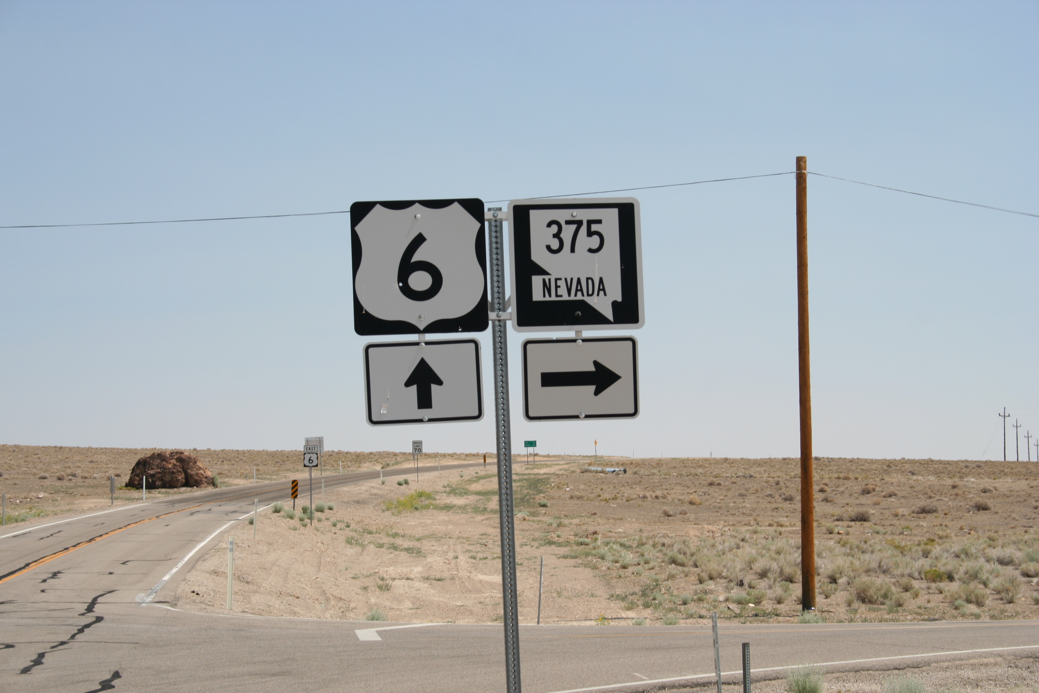
Highway 6 & 395, Nevada
030214 Nevada, Warm Springs, Derelict Gas Station?
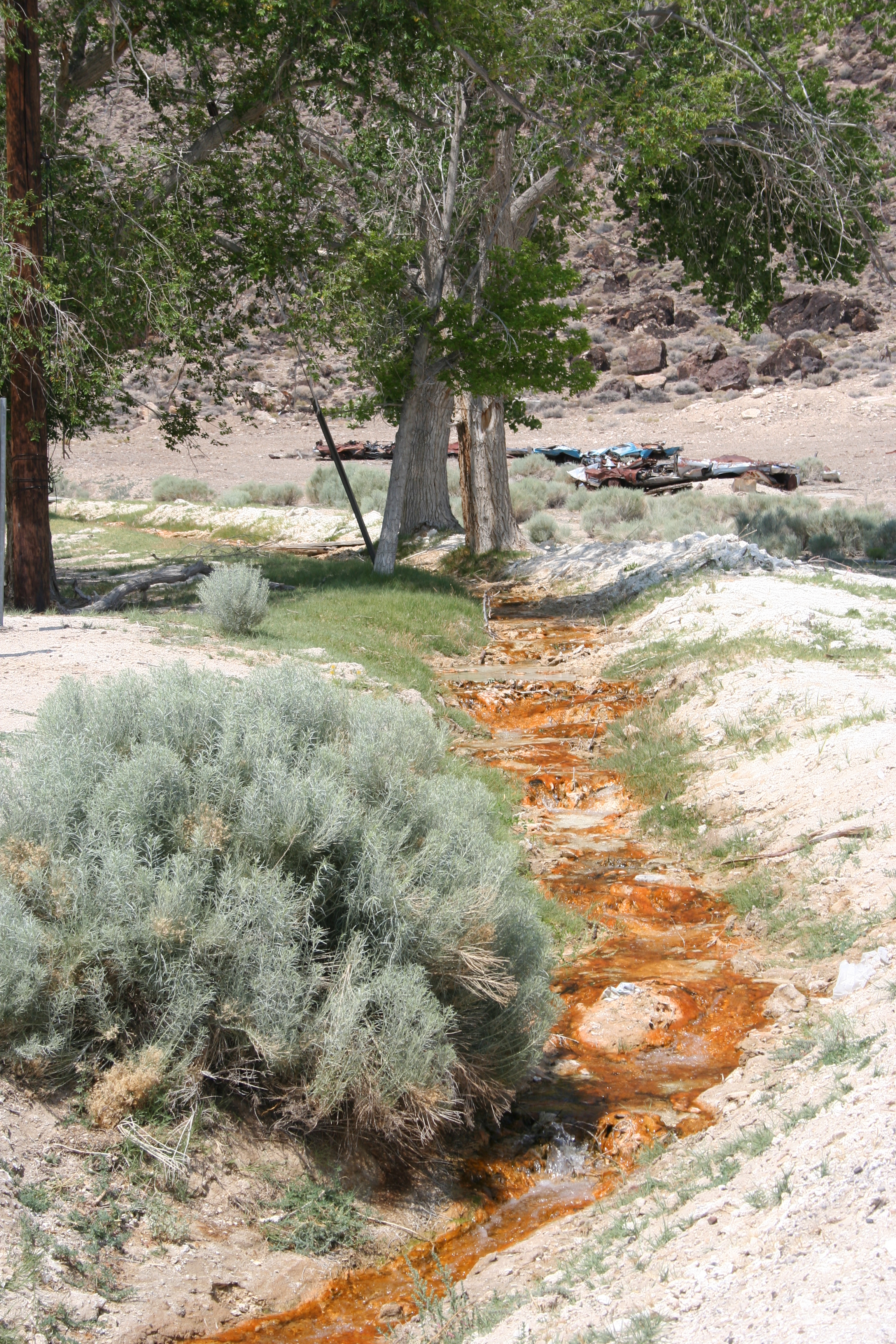
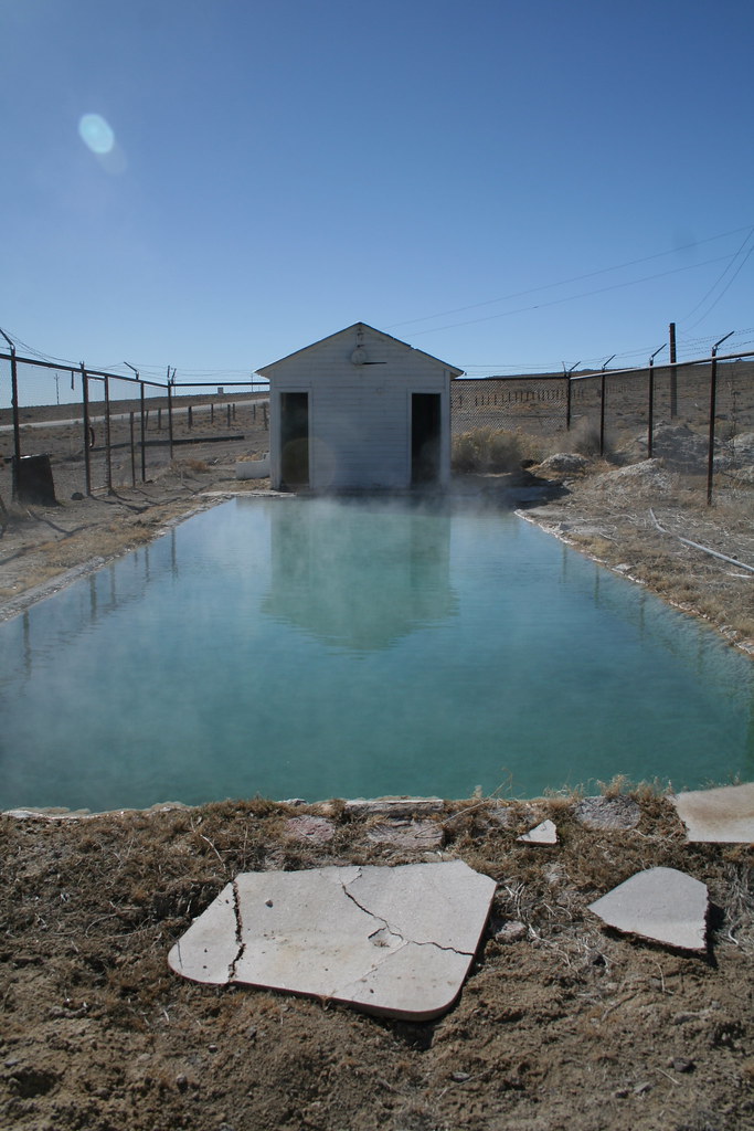
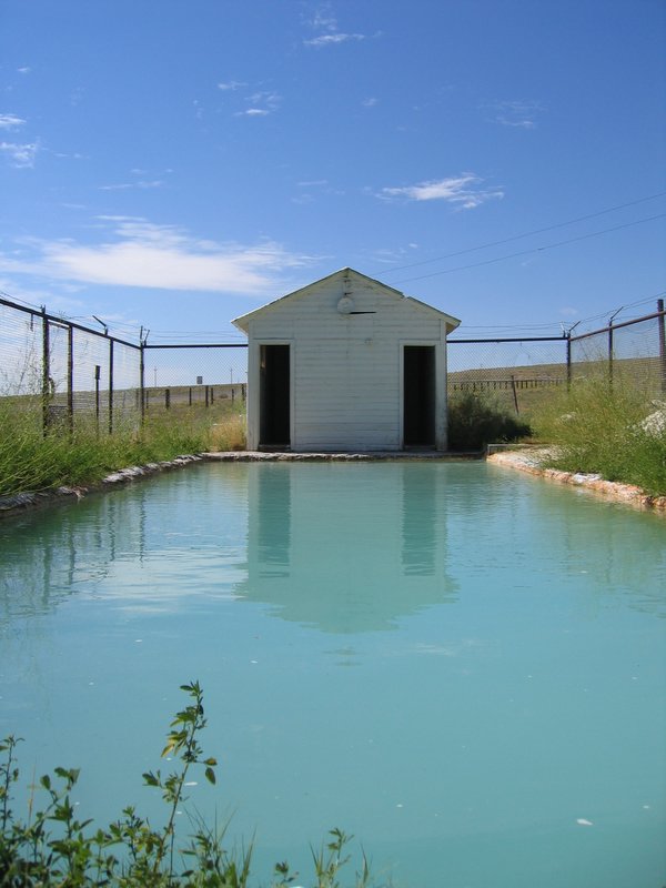
Water, Warm Springs, Nevada
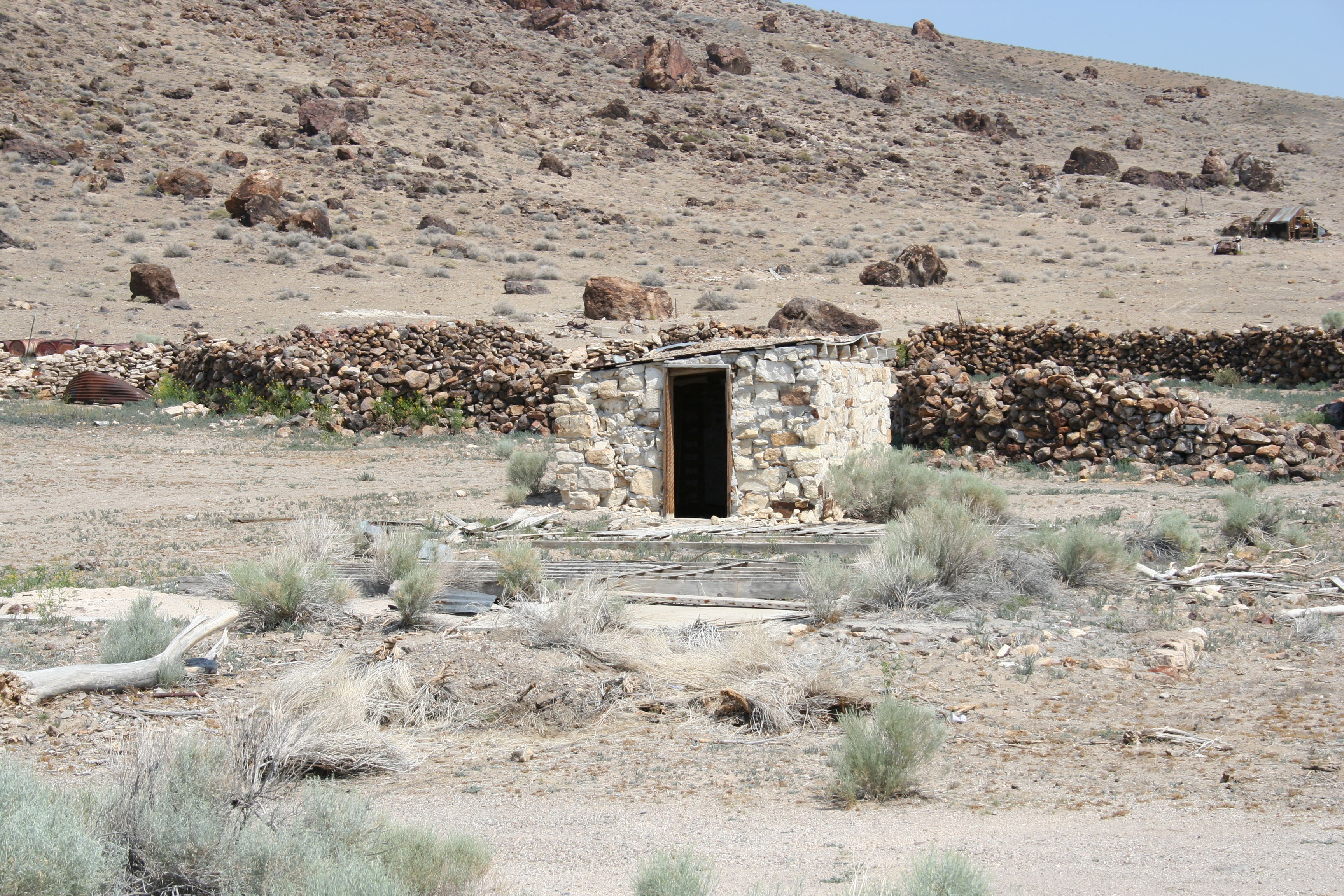
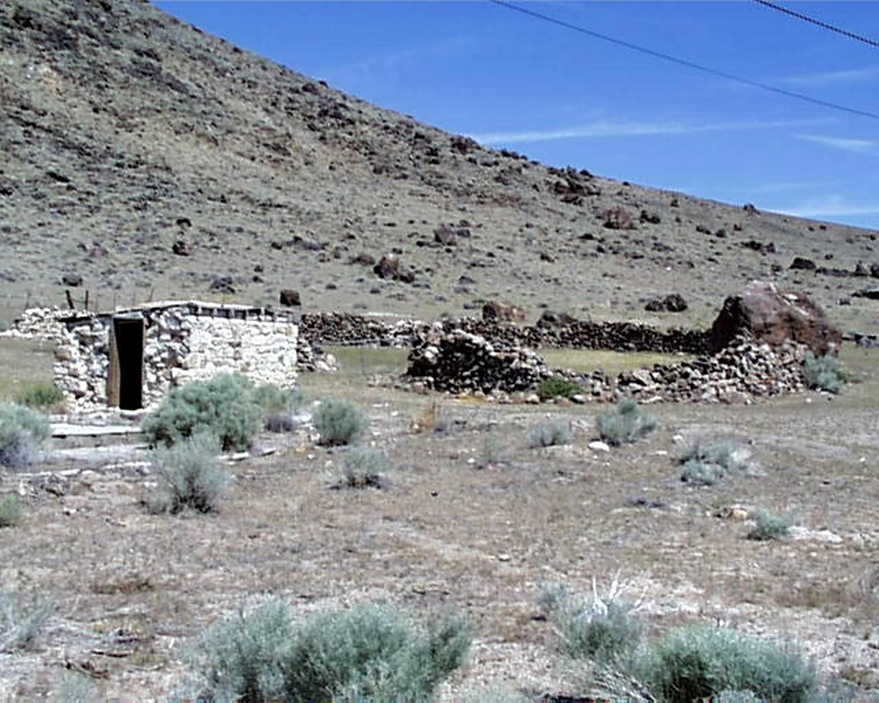
Ruins at Warm Springs, Nevada
Ruins at Warm Springs, Nevada

As fast as I could go... all day!

Riding Along!

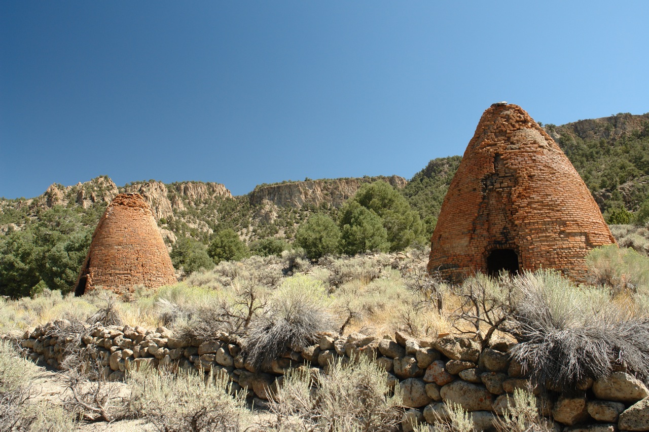
Old Mines
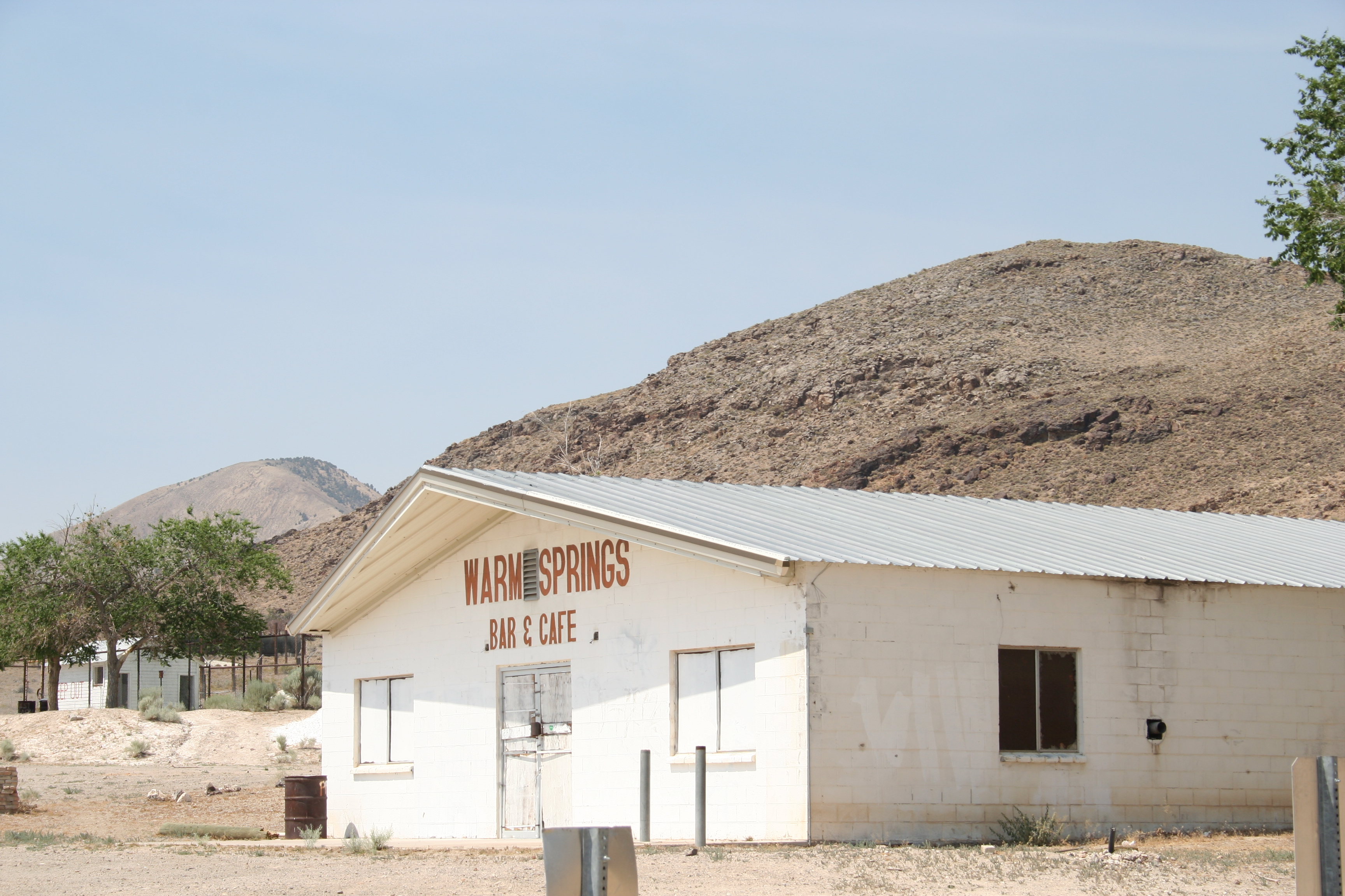
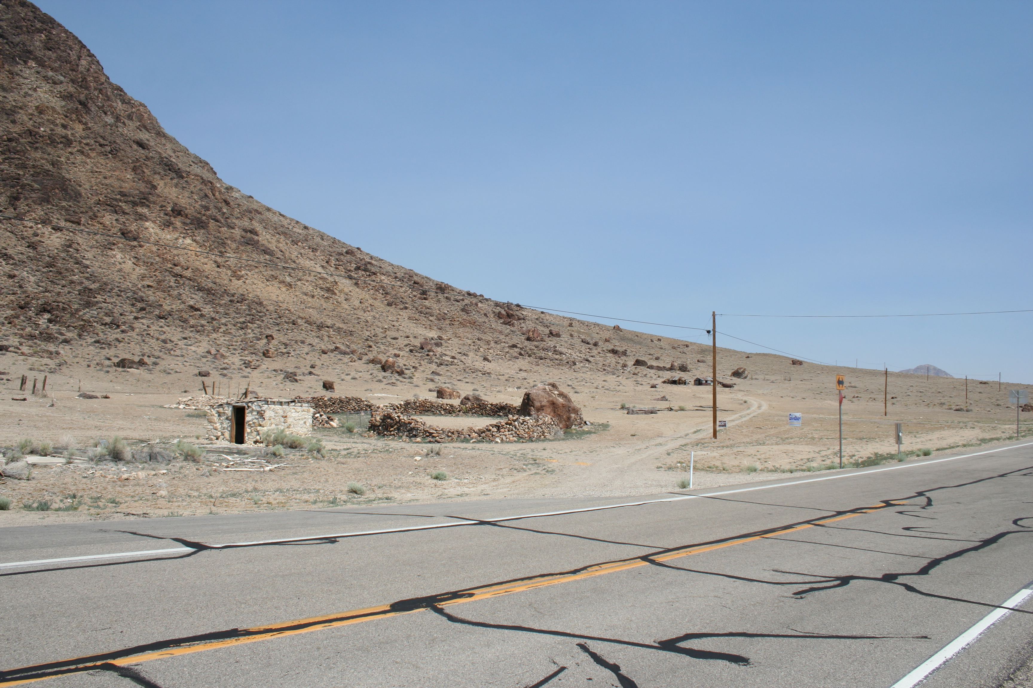
Downtown Warm Springs, Nevada
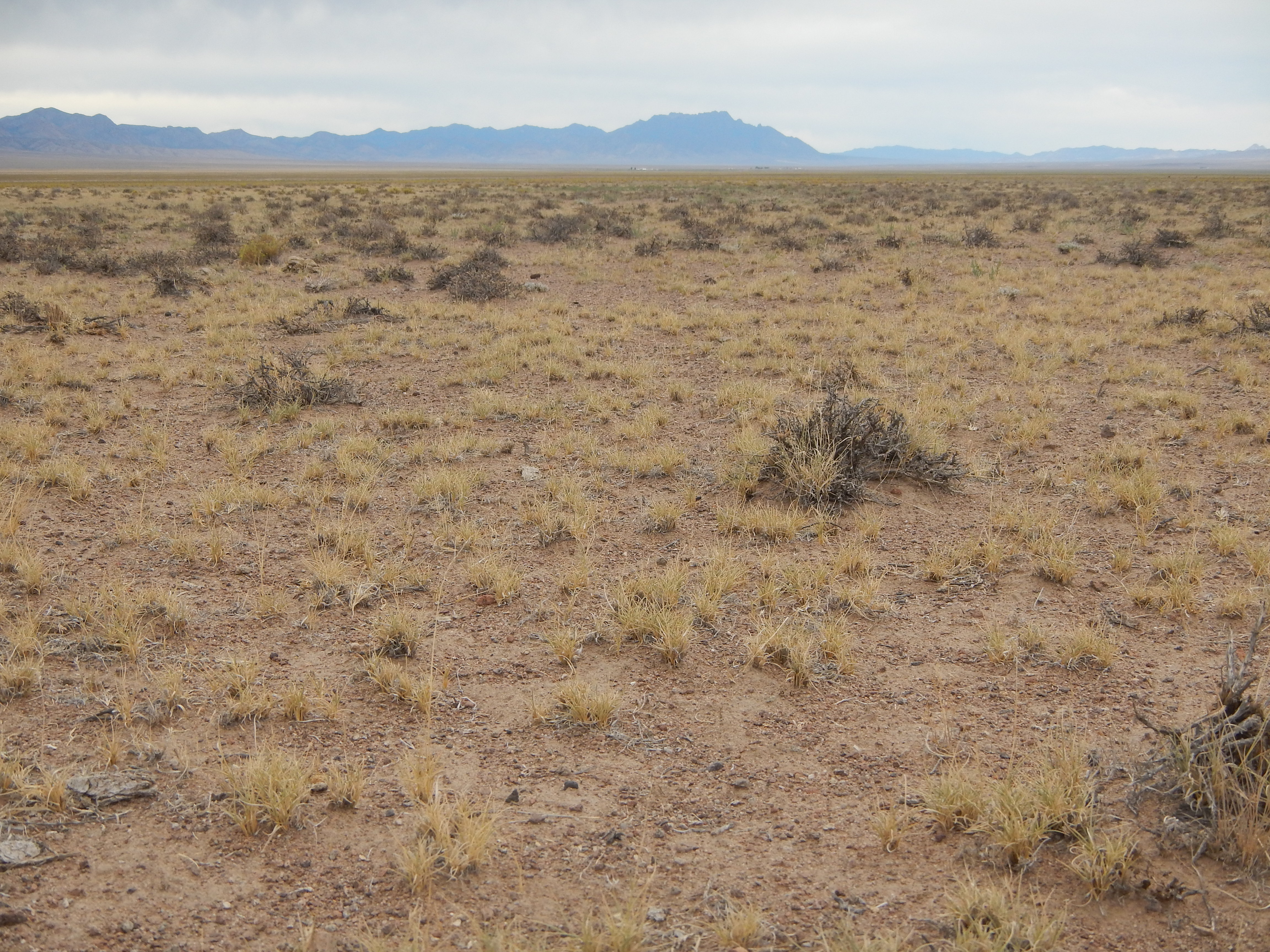
Black sagebrush steppe: jct hwy 6 & 375

Abandoned Hot Springs
Topographic Map of Rawhide Mountain, Nevada, USA
Find elevation by address:

Places near Rawhide Mountain, Nevada, USA:
Little Rawhide Mountain
Amethyst Peak
Twin Peaks East
Flagstaff Mountain
Morey Peak
Mahogany Peak
Crescent Hogback
Fishhook Ridge
Pahrump
Nye County
Nevada
Table Mountain
Tulle Mountain
Black Rock Mountain
Stairstep Mountain
Moonshine Peak
Quinn Canyon Range Hp
Troy Mountain
Savory Mountain
Cherry Creek Campground
Recent Searches:
- Elevation of Corso Fratelli Cairoli, 35, Macerata MC, Italy
- Elevation of Tallevast Rd, Sarasota, FL, USA
- Elevation of 4th St E, Sonoma, CA, USA
- Elevation of Black Hollow Rd, Pennsdale, PA, USA
- Elevation of Oakland Ave, Williamsport, PA, USA
- Elevation of Pedrógão Grande, Portugal
- Elevation of Klee Dr, Martinsburg, WV, USA
- Elevation of Via Roma, Pieranica CR, Italy
- Elevation of Tavkvetili Mountain, Georgia
- Elevation of Hartfords Bluff Cir, Mt Pleasant, SC, USA