Elevation map of Nye County, NV, USA
Location: United States > Nevada >
Longitude: -116.04138
Latitude: 38.5807111
Elevation: 1792m / 5879feet
Barometric Pressure: 82KPa
Elevation Map:
Satellite Map:
Related Photos:
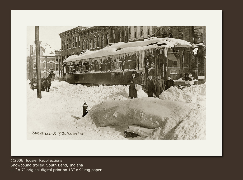
Snowbound trolley and passengers, South Bend, Indiana
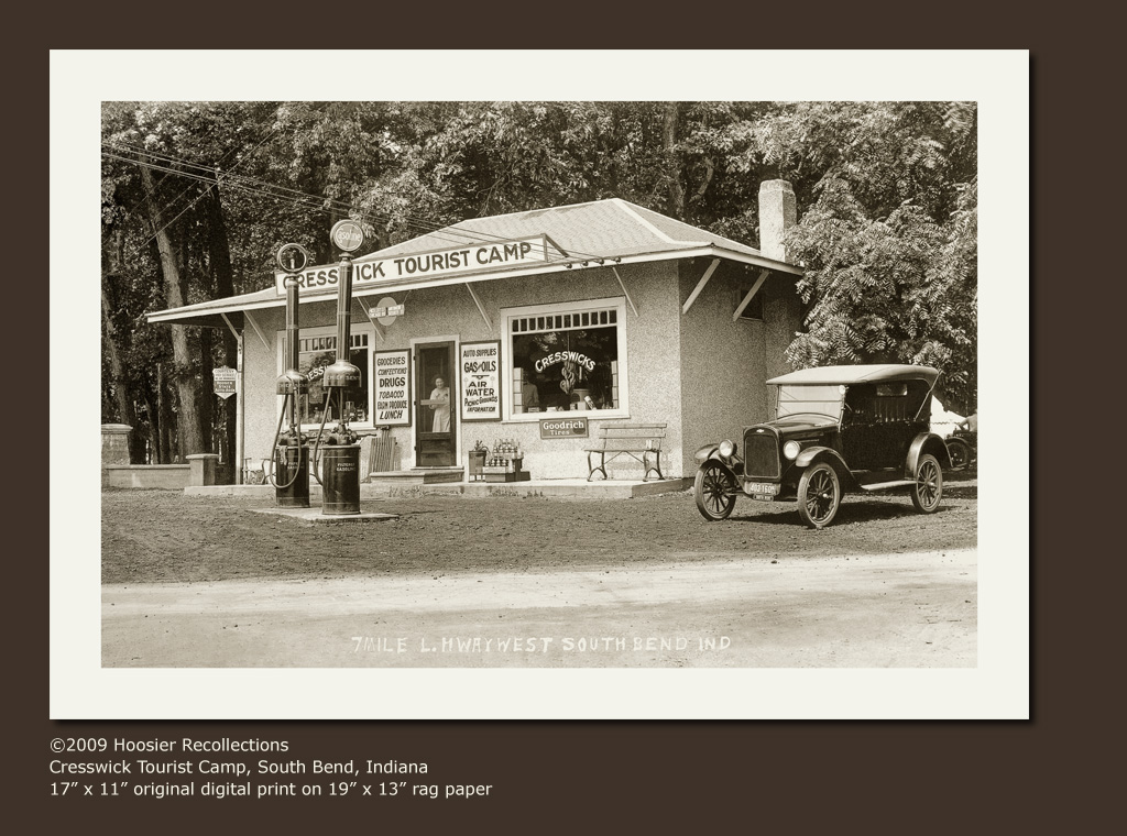
Cresswick Tourist Camp, near South Bend, Indiana

Sarah Palin And The Flagman
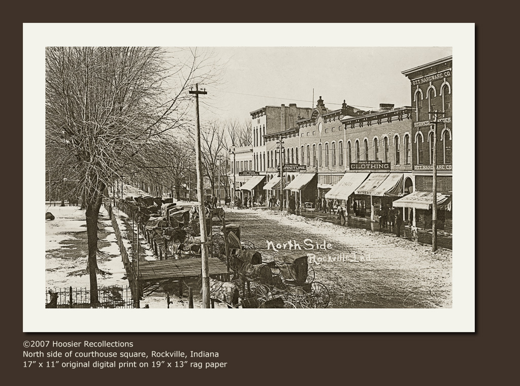
North side of square, Rockville, Indiana
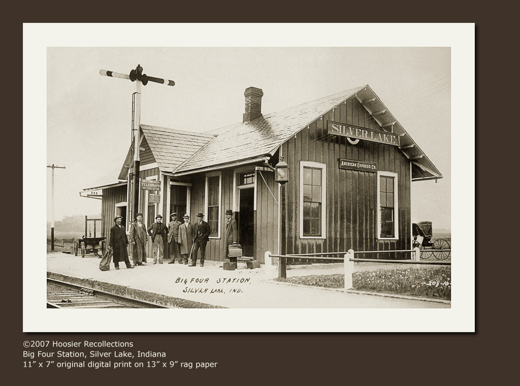
Big Four Railroad Station, Silver Lake, Indiana
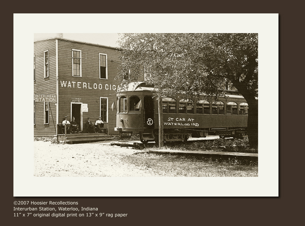
Interurban station and trolley car, Waterloo, Indiana
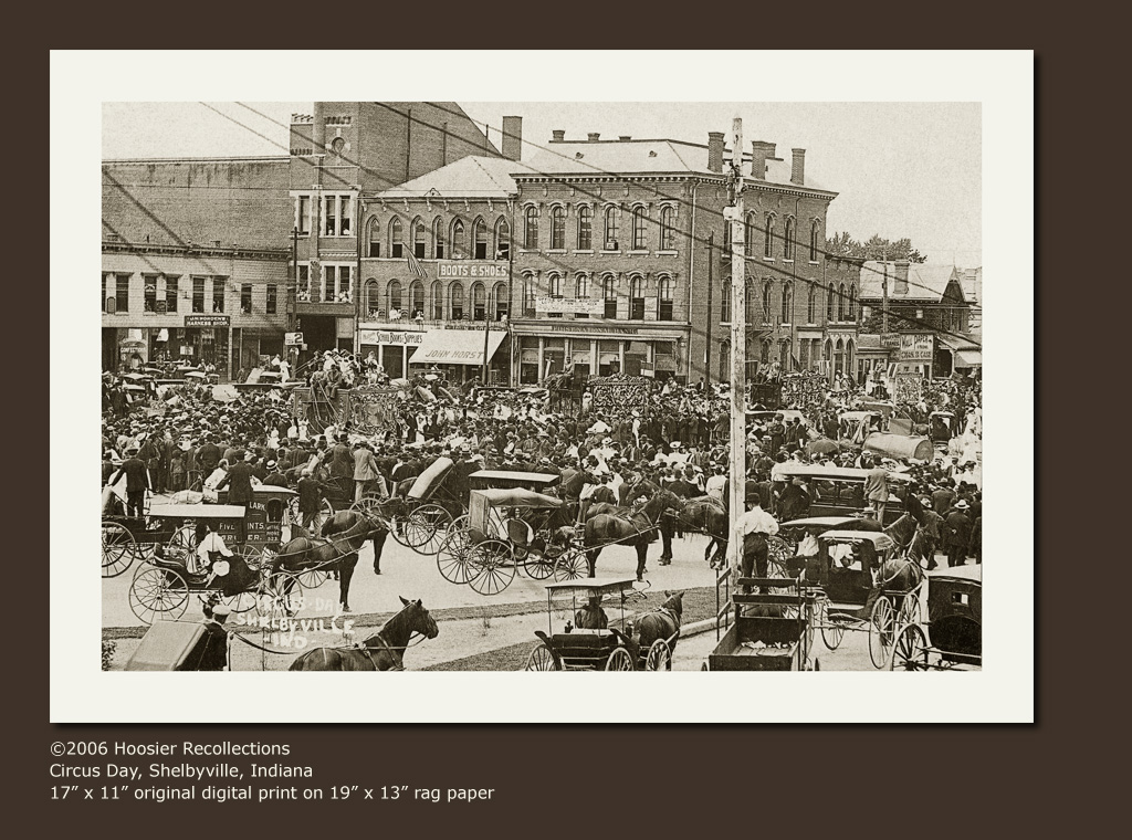
Circus Day, Shelbyville, Indiana
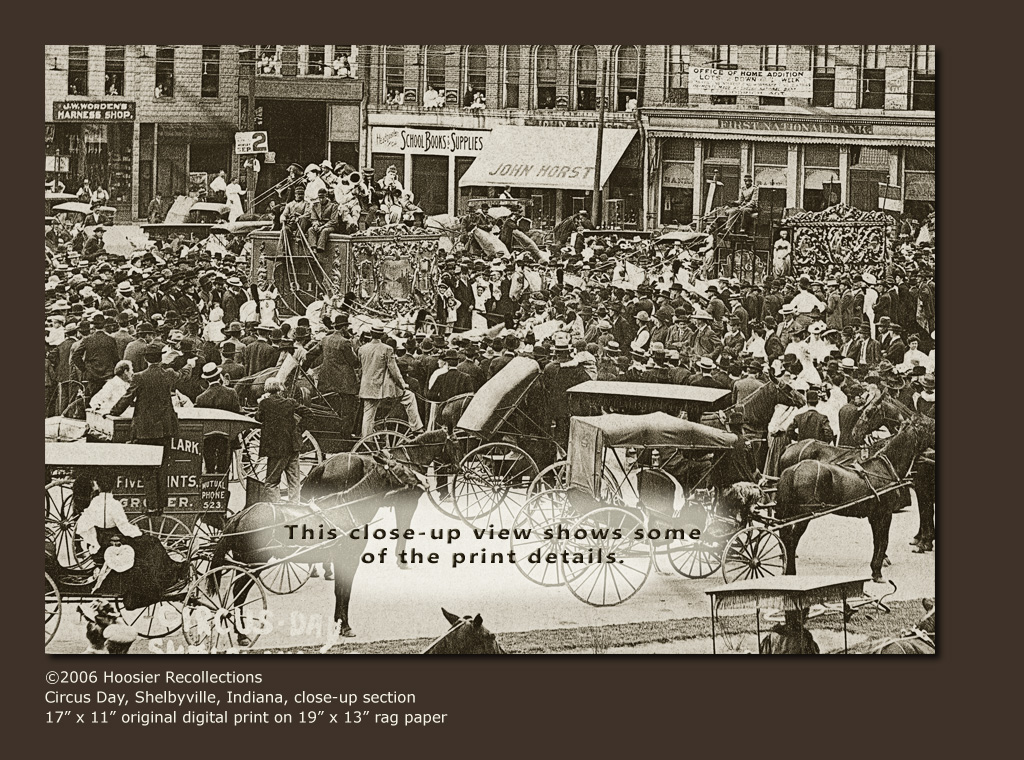
Circus Day, Shelbyville, Indiana, close-up section
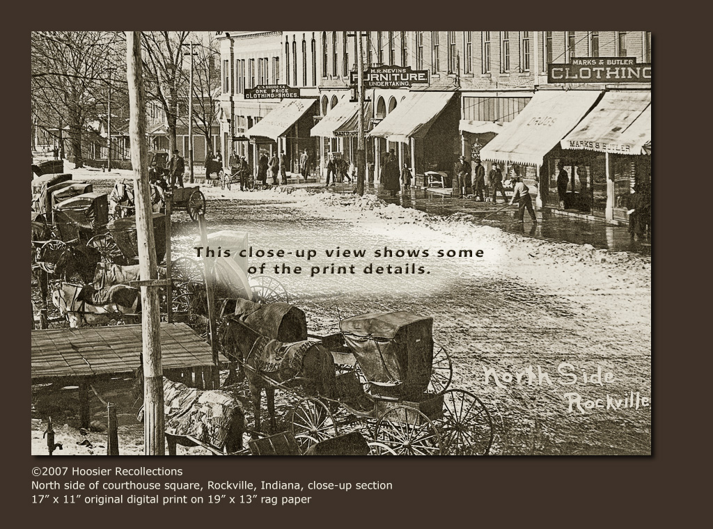
North side of square, Rockville, Indiana, close-up section
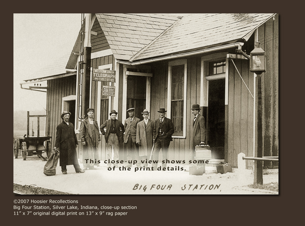
Big Four Railroad Station, Silver Lake, Indiana, close-up section

Blakeslee Log House — Plymouth Township, Ashtabula County, OH
Nye County
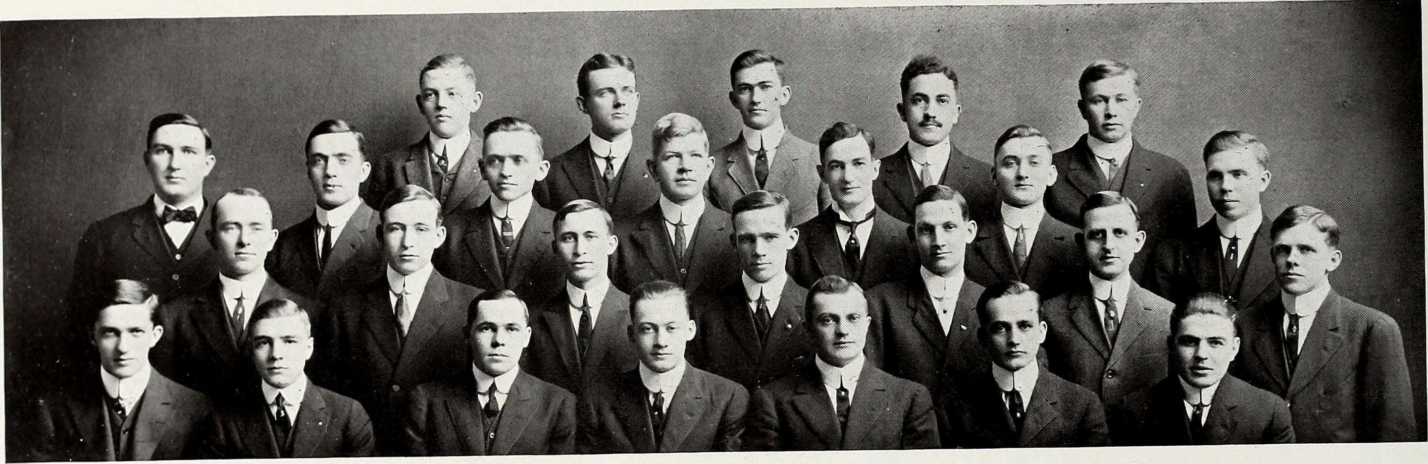
Image from page 293 of "Purdue debris" (1913)

Image from page 1208 of "San Diego City and County Directory - 1921" (1921)

Aerial View of Hall-Tonopah Open Pit Mine
California road

Anyway you run, you run before us
Covered bridge over White River, Noblesville, Indiana, close-up section 2
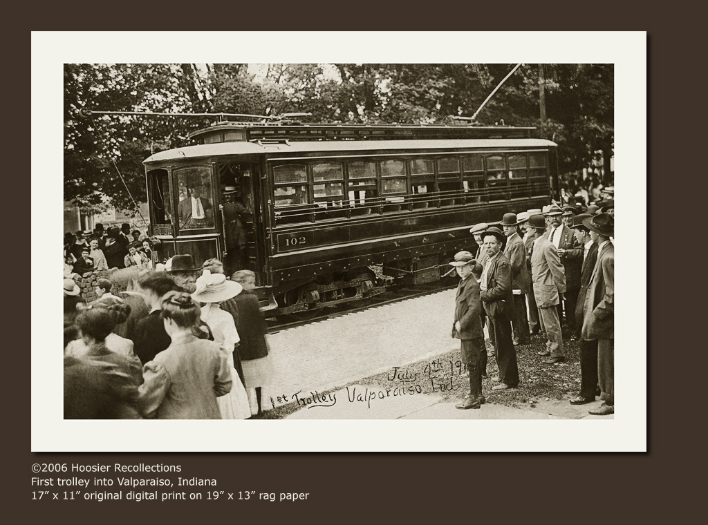
First trolley into Valparaiso, Indiana

Northern Cardinal Happy New Year!

Aerial view of the Las Vegas Strip at dusk
Nay for fossil fuel, yea for renewable energy
The Road
Road to Las Vegas, Nevada
Booom!
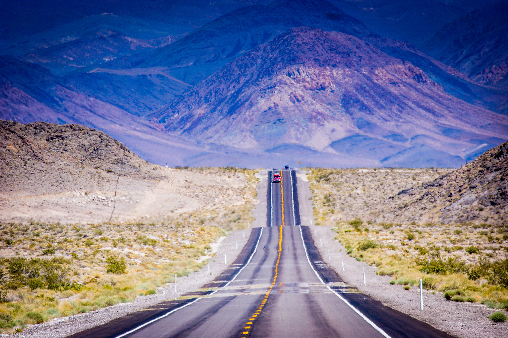
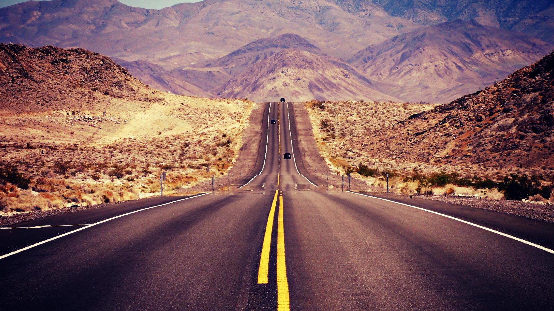
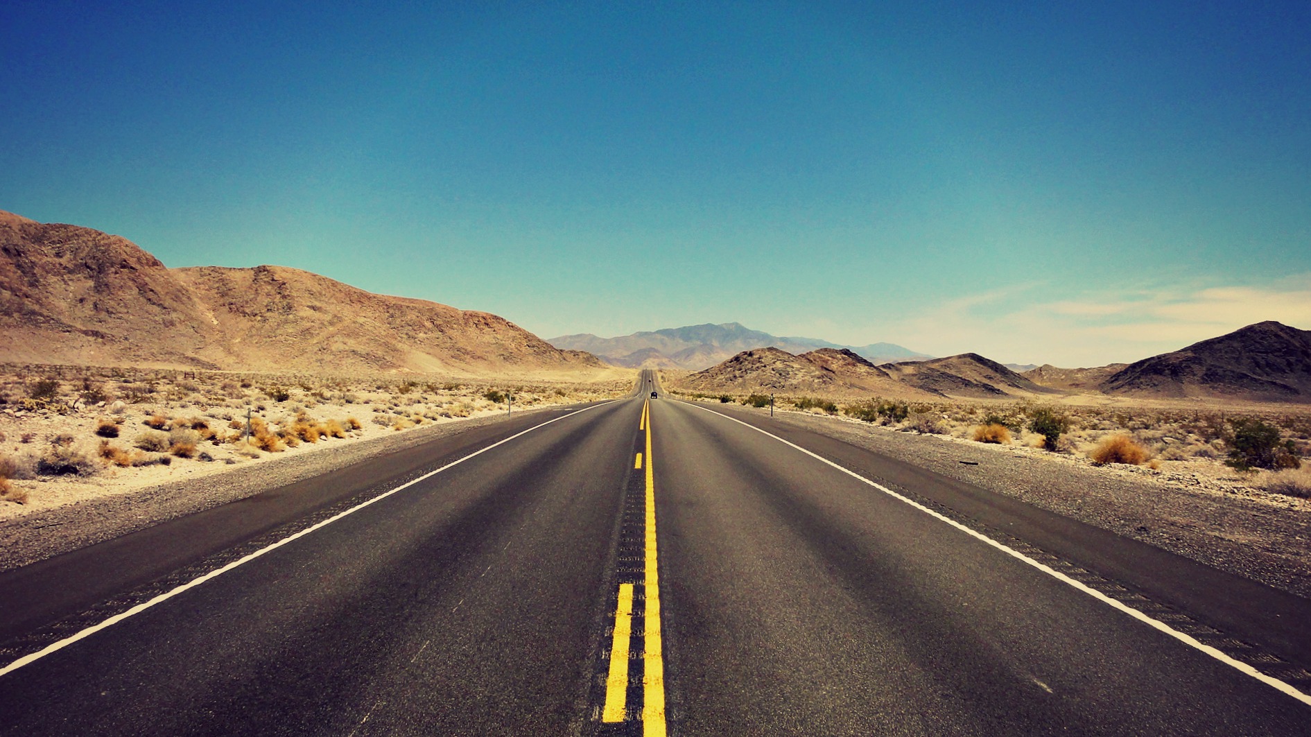
Road to Death Valley

Desert Drive
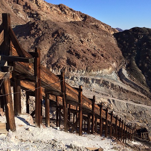
Ore chutes at a mine in the Mojave Desert.
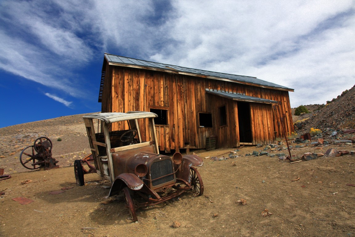
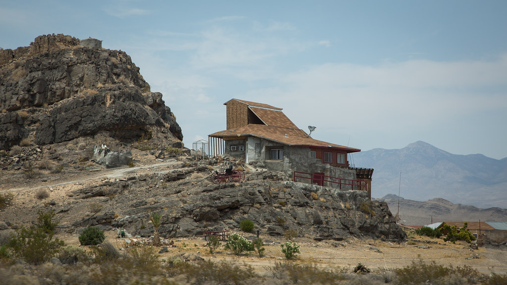
Nevada Ghost Town
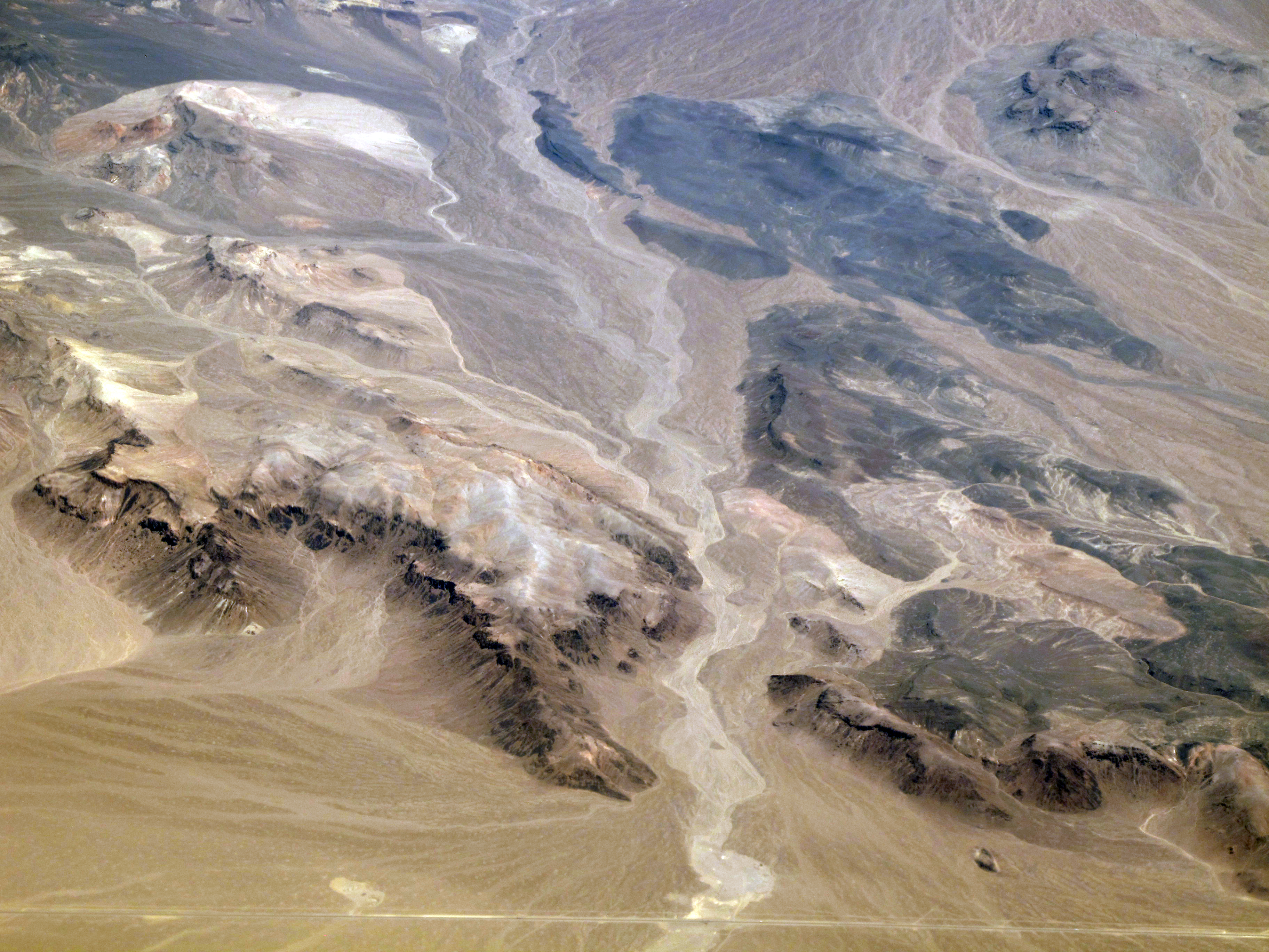
Nevada geology
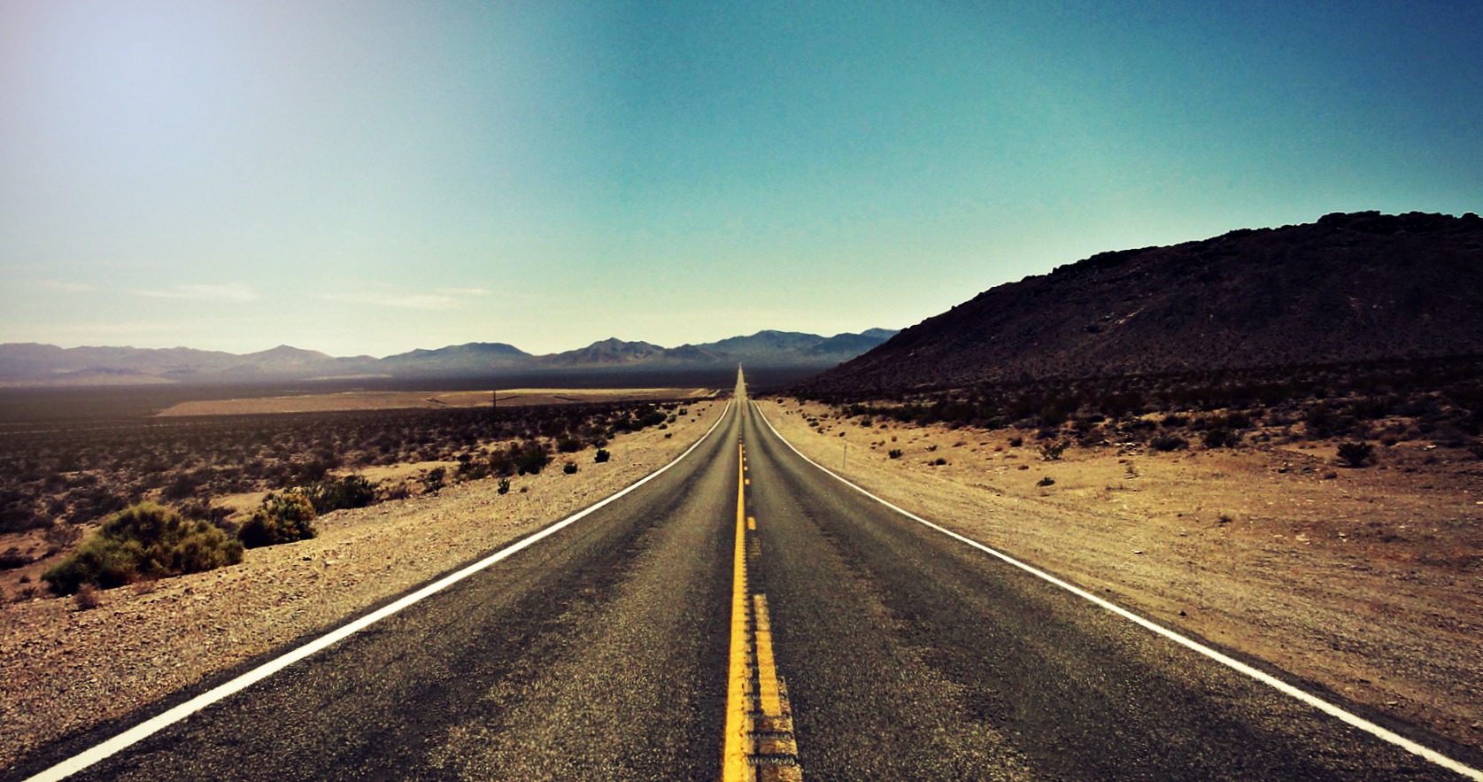
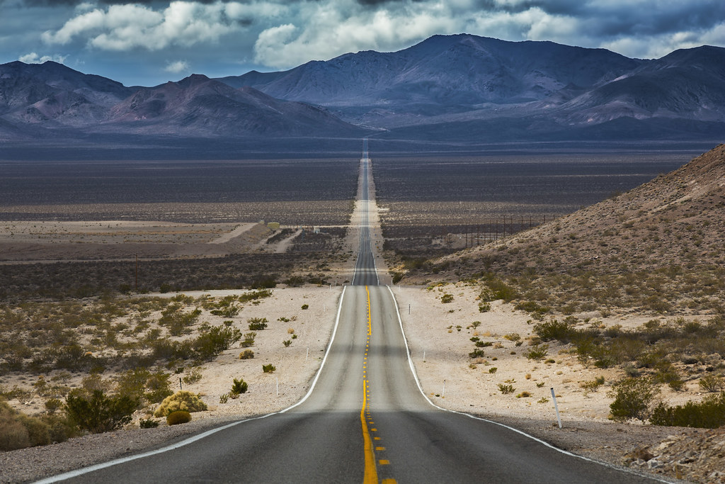
The Long Lonely Road

10/100x Tea Kettle Junction - Death Valley
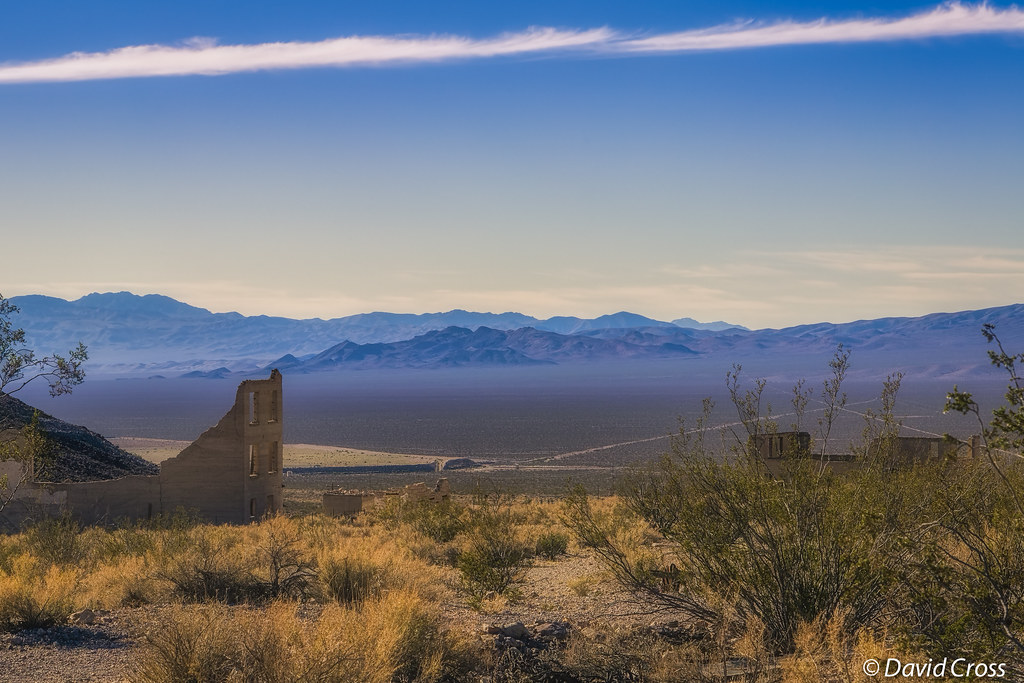
Rhyolite, Nevada

The Desert Road
Born to Run
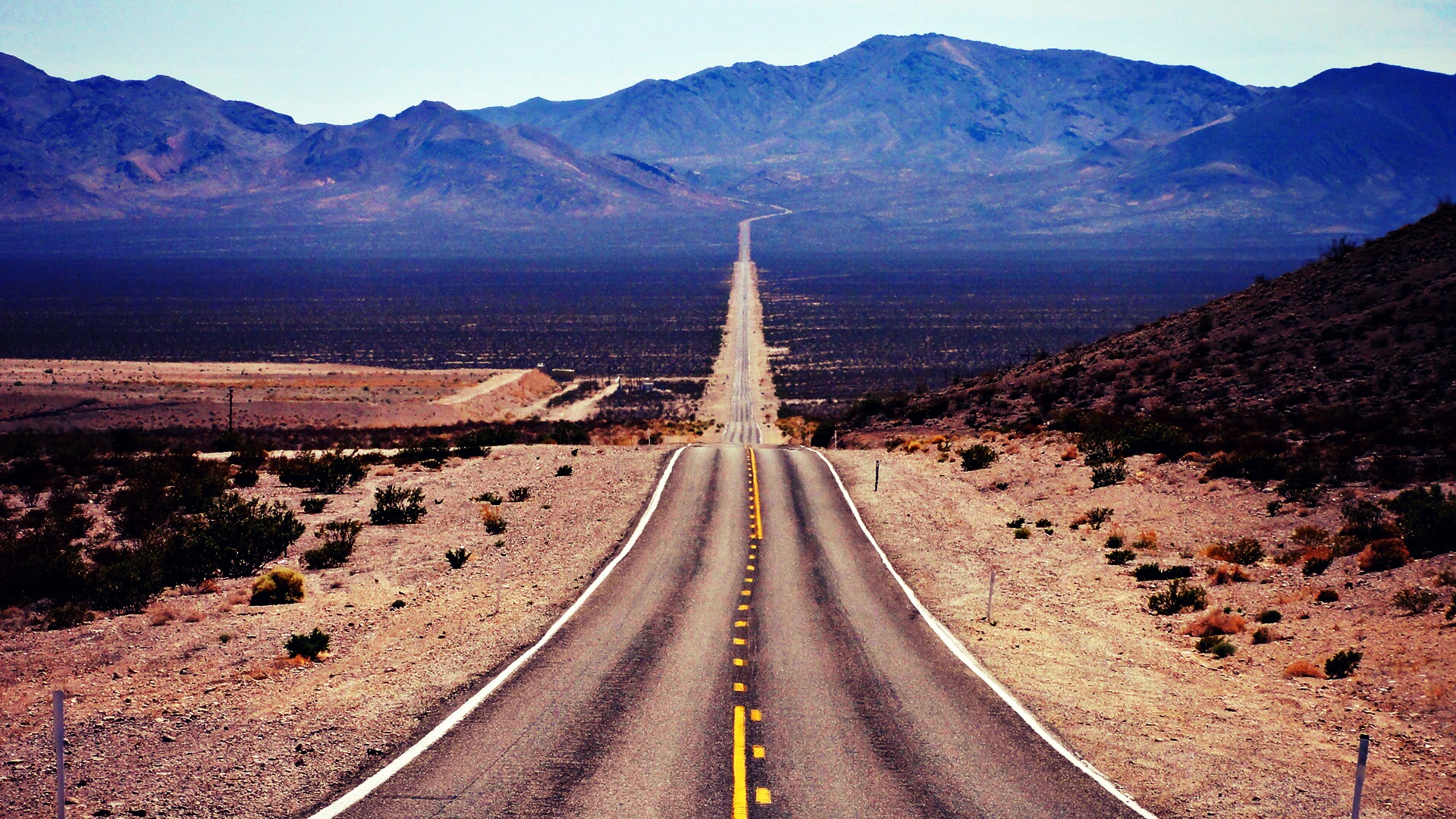
A Lone Road to Death Valley
The Road & The Hill

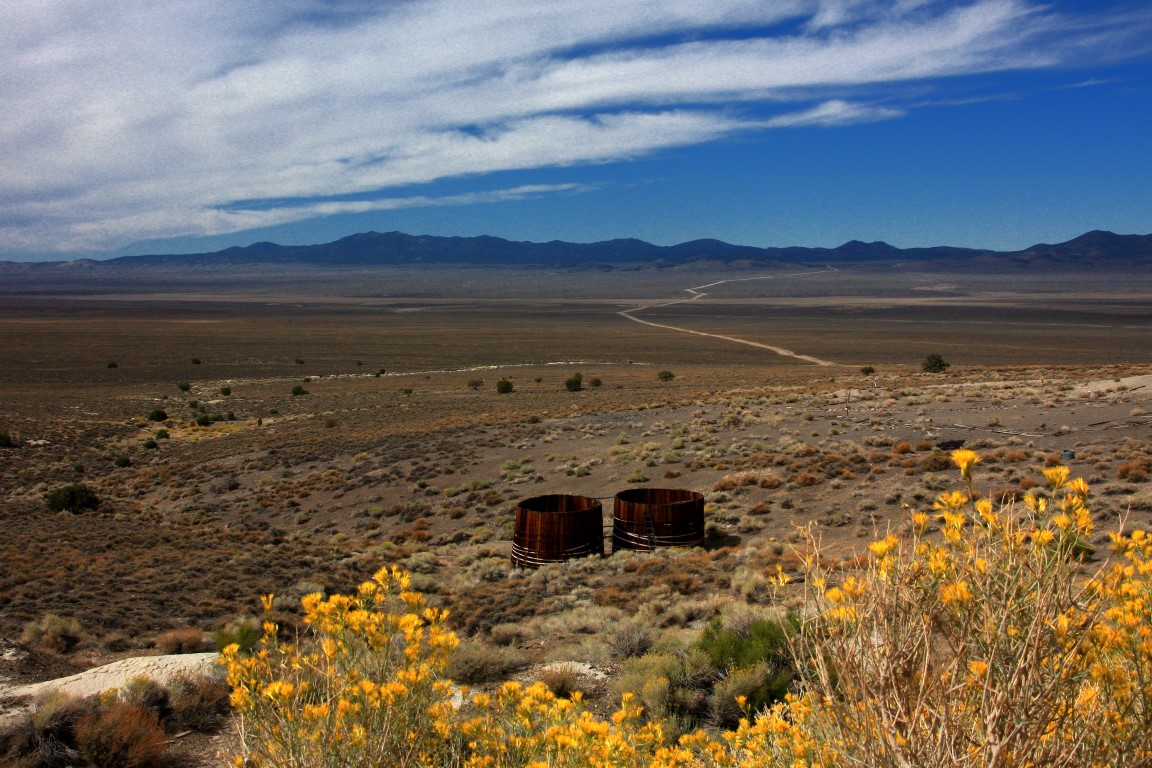
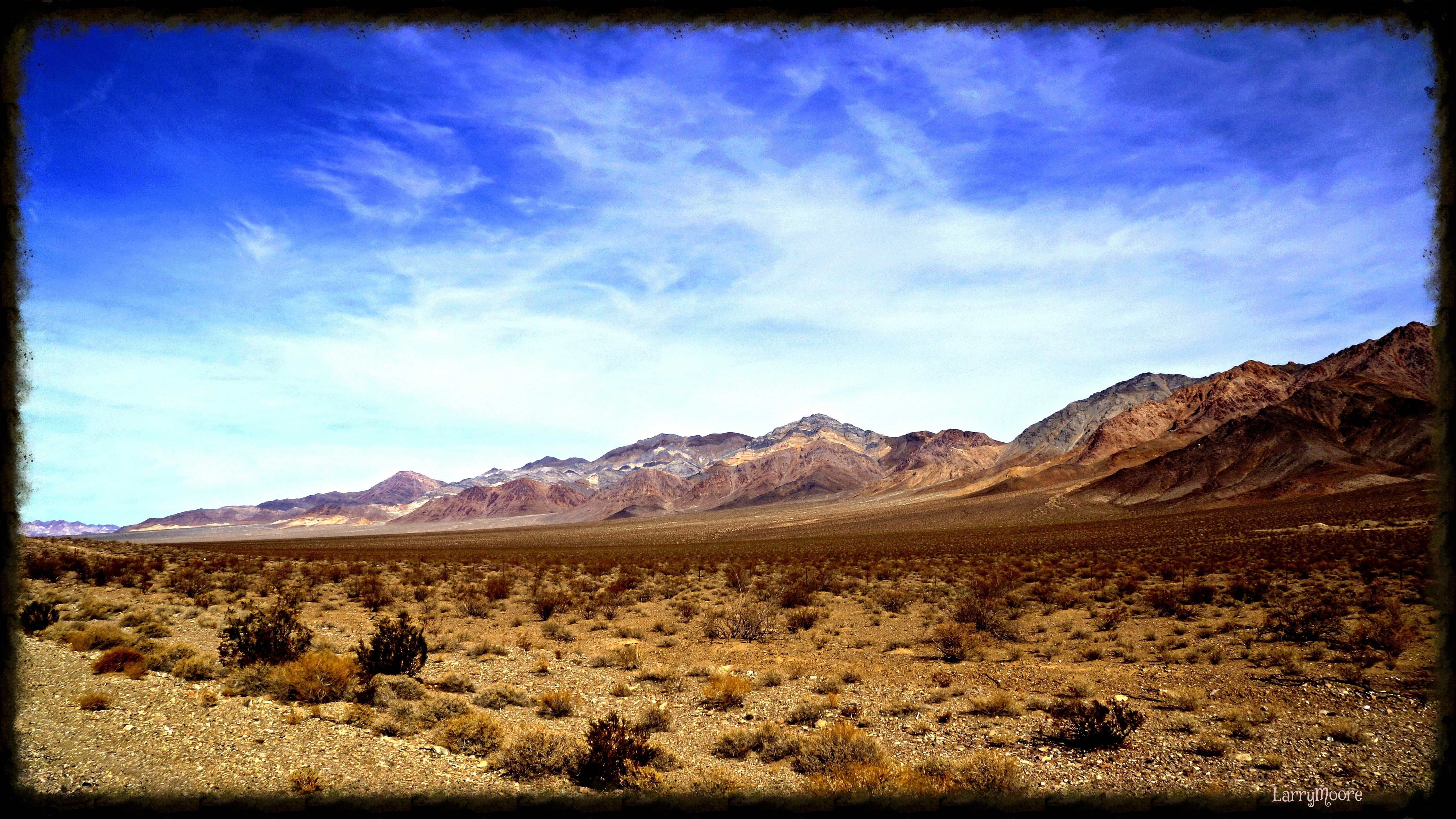
The High Desert of Nevada

Recliner (Explored)
Desert Splender

Sleeping Quarters
Topographic Map of Nye County, NV, USA
Find elevation by address:

Places in Nye County, NV, USA:
Places near Nye County, NV, USA:
Pahrump
Morey Peak
Fishhook Ridge
Mahogany Peak
Crescent Hogback
Flagstaff Mountain
Nevada
Twin Peaks East
Amethyst Peak
Moonshine Peak
Rawhide Mountain
Little Rawhide Mountain
Tulle Mountain
Troy Mountain
Stairstep Mountain
Quinn Canyon Range Hp
Black Rock Mountain
Blue Eagle Mountain
Timber Mountain
Table Mountain
Recent Searches:
- Elevation of Corso Fratelli Cairoli, 35, Macerata MC, Italy
- Elevation of Tallevast Rd, Sarasota, FL, USA
- Elevation of 4th St E, Sonoma, CA, USA
- Elevation of Black Hollow Rd, Pennsdale, PA, USA
- Elevation of Oakland Ave, Williamsport, PA, USA
- Elevation of Pedrógão Grande, Portugal
- Elevation of Klee Dr, Martinsburg, WV, USA
- Elevation of Via Roma, Pieranica CR, Italy
- Elevation of Tavkvetili Mountain, Georgia
- Elevation of Hartfords Bluff Cir, Mt Pleasant, SC, USA