Elevation of Ravenswood, WV, USA
Location: United States > West Virginia > Jackson County > Northern > Ravenswood >
Longitude: -81.713052
Latitude: 39.0054141
Elevation: 258m / 846feet
Barometric Pressure: 98KPa
Elevation Map:
Satellite Map:
Related Photos:
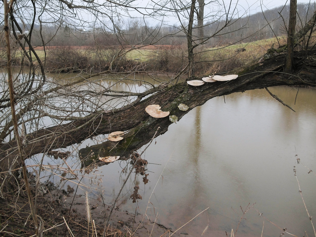
Fungus of old dead treetrunk above this creek.

stacey and shaun

Springtime in the Mid-Ohio Valley

my buddy adam

A wonderful view.

Always frightened of the next truck. And possibly sometimes of the people in it!

Rising elegance of mound-shaped earthwork of the vast Pre-Columbian Age. Kept mowed, w/ two chairs.
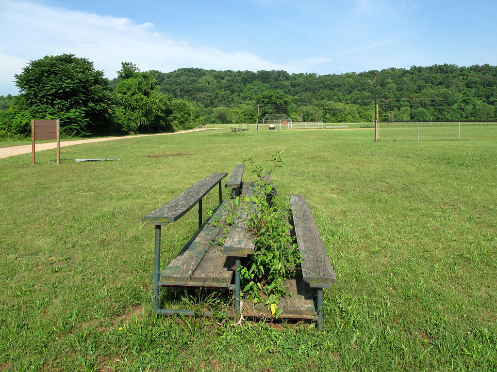
Unwanted weeds growing up between people's legs.
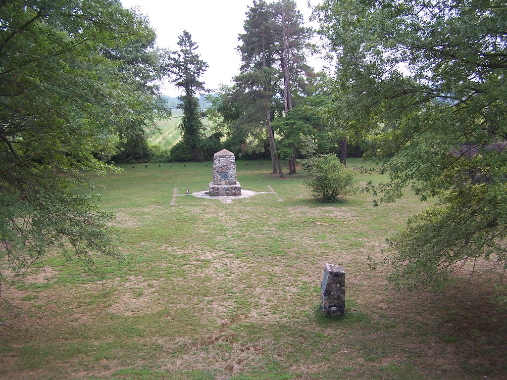
View from Indian Mound 8-28-2005 Photo
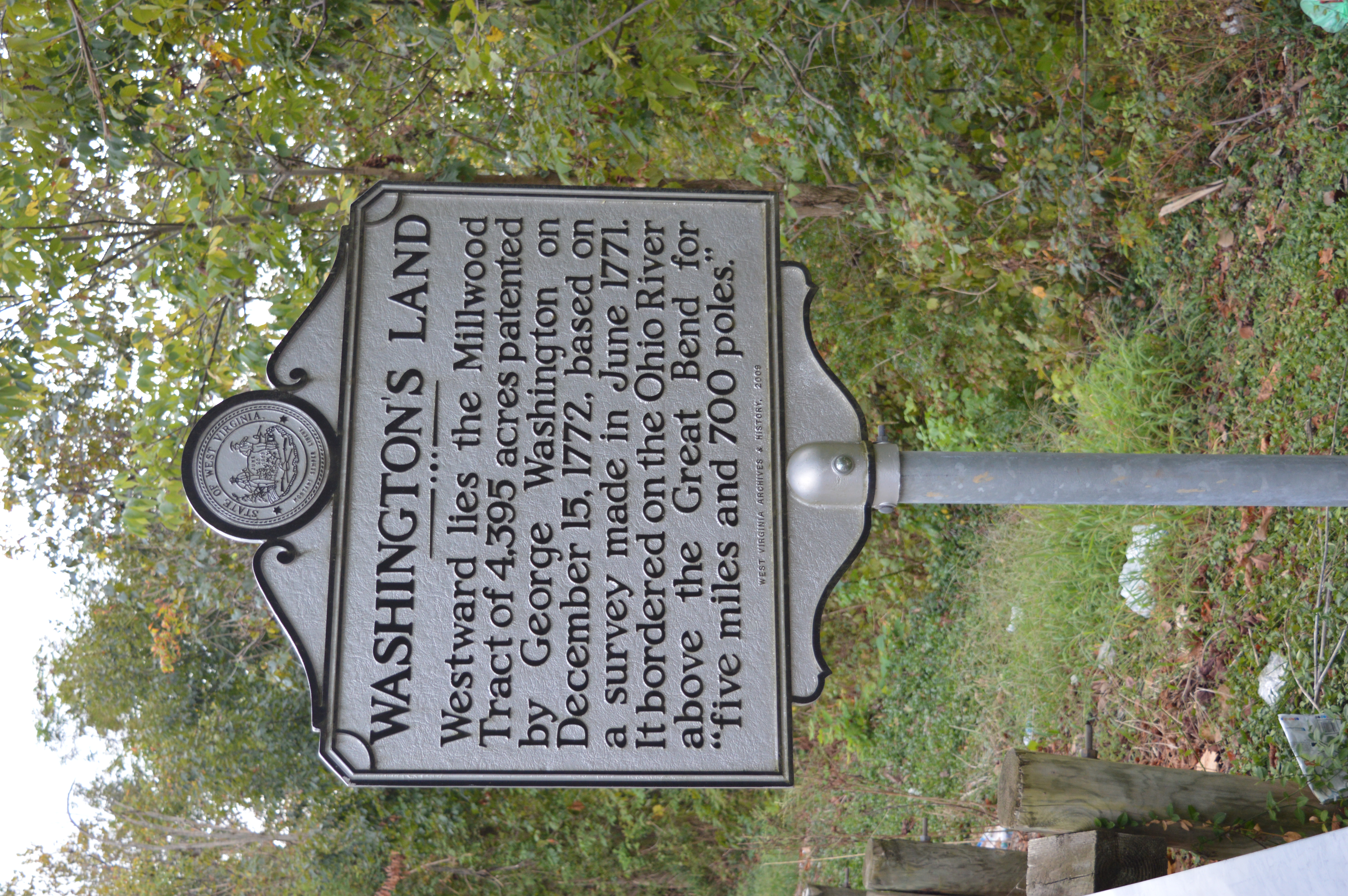
Washington's Land Historical marker Jackson county, WV

Back in Ohio

Ravenswood Bridge Ravenswood, WV
Ravenswood, WV
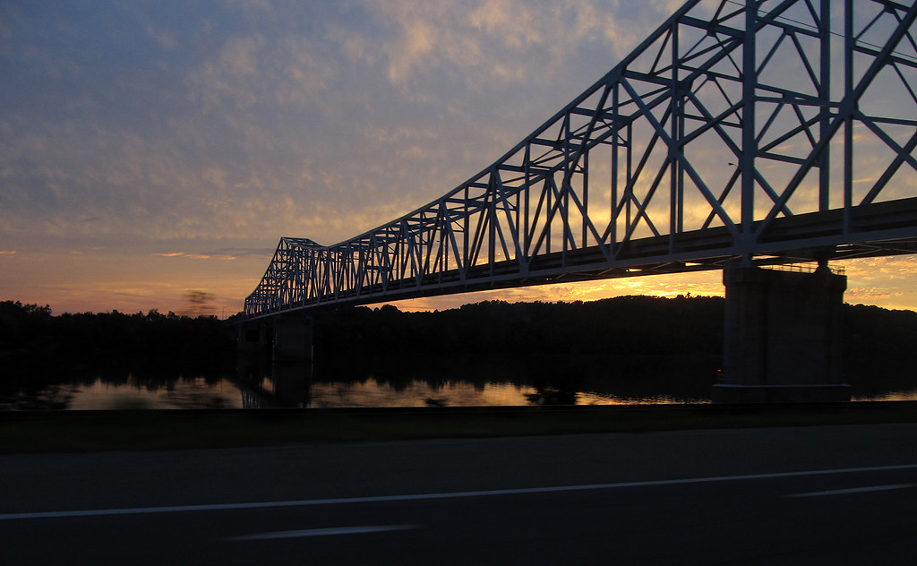
Ravenswood Bridge at Dusk

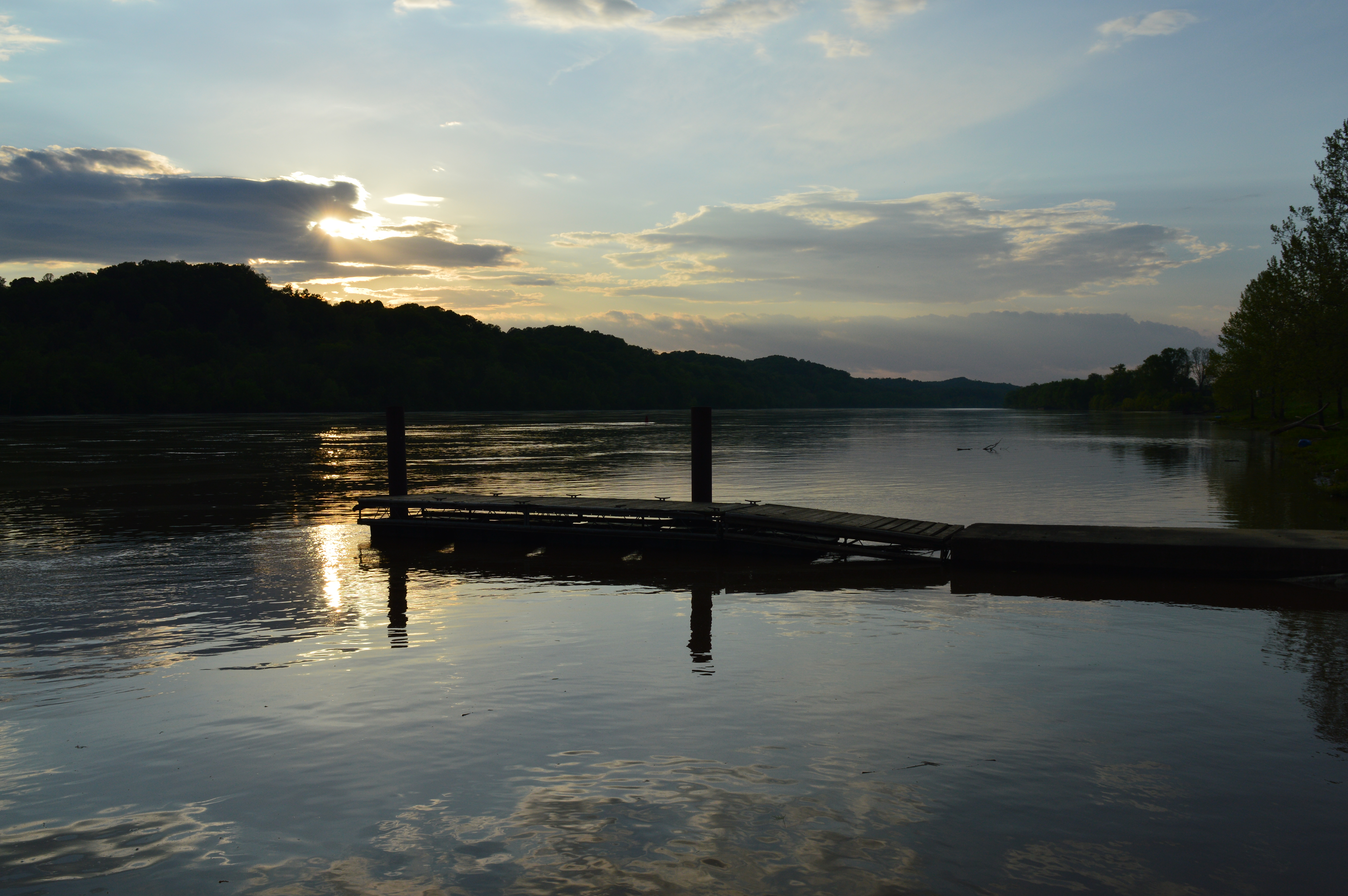
Sunset Over The Ohio River
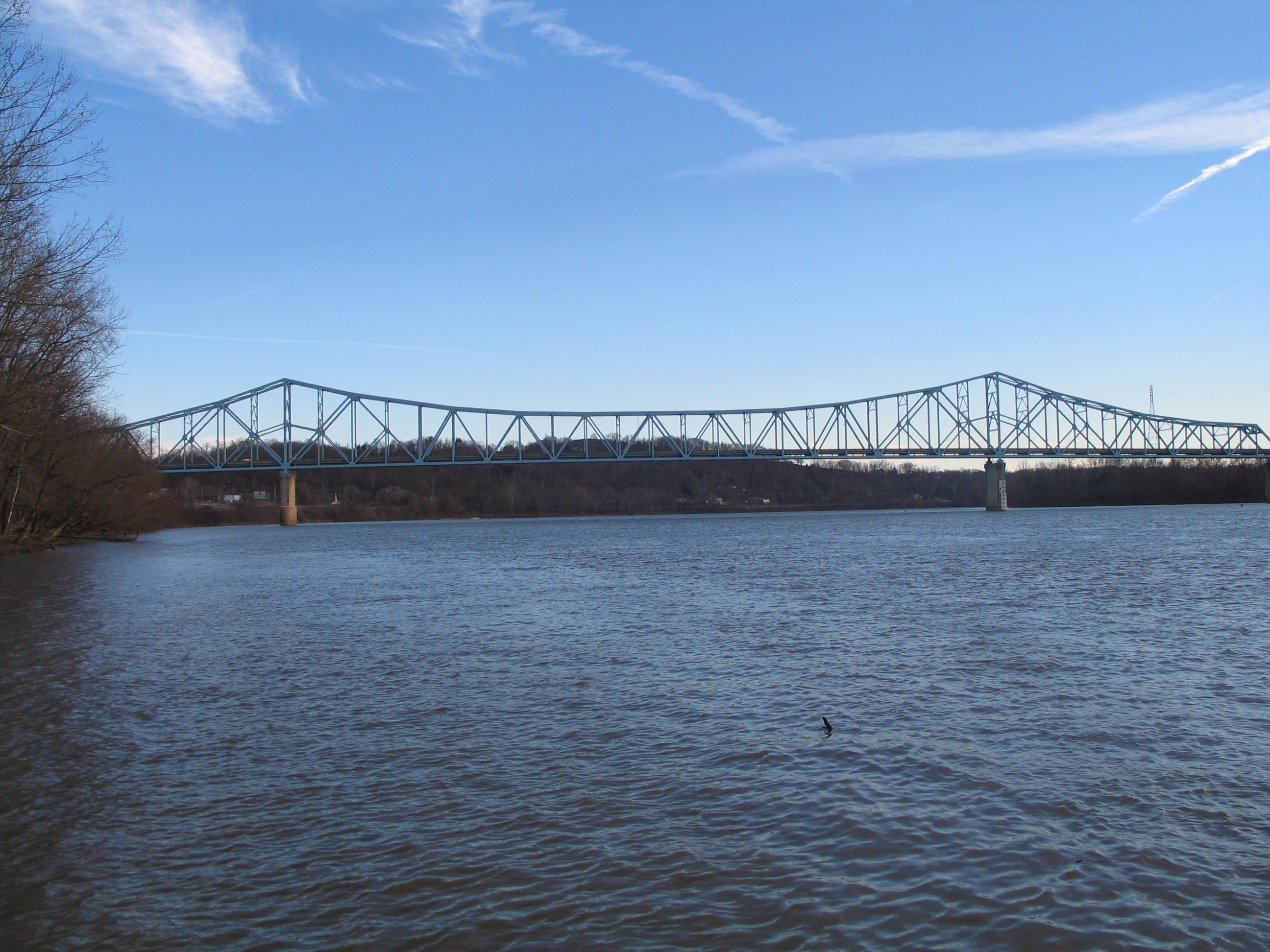
Ravenswood Bridge/US 33 Ravenswood, WV
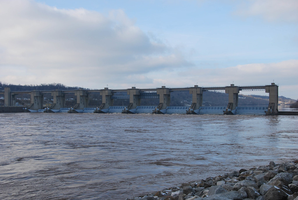
Belleville Locks & Dam
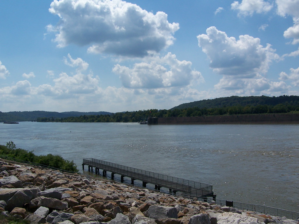
Ohio River Downstream of Belleville Locks & Dam
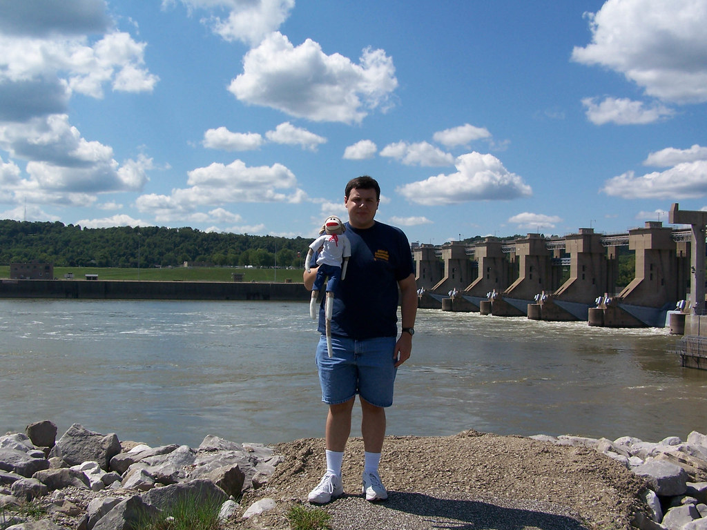
Belleville Locks & Dam

Belleville Locks & Dam

Coal Barge on the Ohio
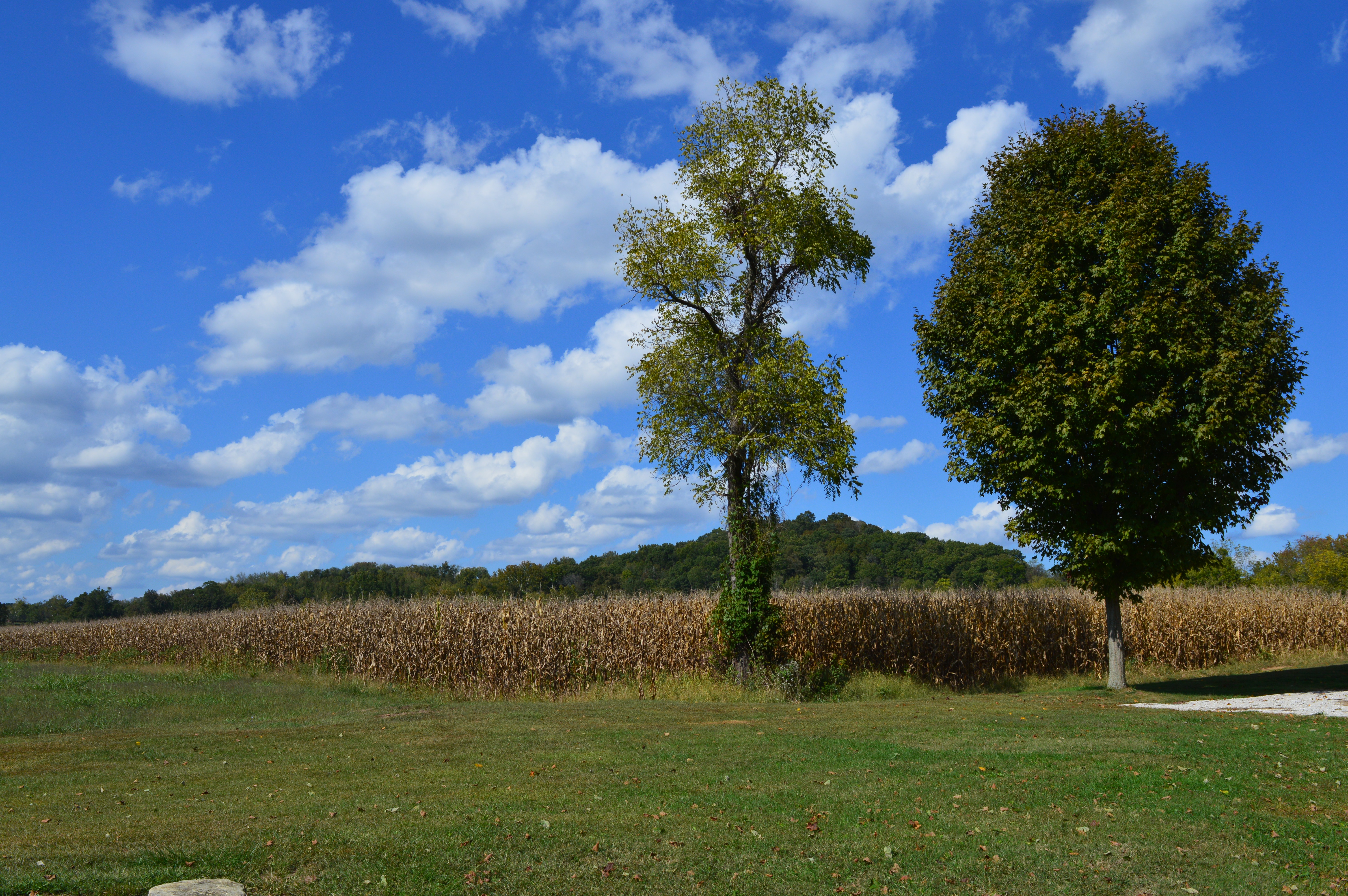
Corn Fields Jackson County, WV
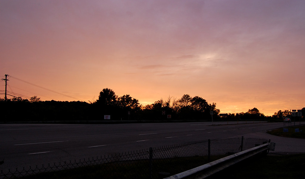
Pink Sunset

Ohio River Downstream of Belleville Locks & Dam
Topographic Map of Ravenswood, WV, USA
Find elevation by address:

Places near Ravenswood, WV, USA:
Ravenswood Junior High School Road
Northern
Washington St, Ravenswood, WV, USA
Ravenswood
2541 Hemlock Rd
Parkersburg Rd, Sandyville, WV, USA
Bar Run Road
Ohio River Scenic Byway, Racine, OH, USA
Sandyville
Point Pleasant Rd, Ravenswood, WV, USA
Pleasant View Farm, Century Rd, Ravenswood, Wv 26164
5 Hemlock Rd, Ravenswood, WV, USA
859 Century Road
41 Lockhart Run Rd
Liverpool Rd, Sandyville, WV, USA
Lockhart Fork
Ripley Landing
Sutton Township
Letart Township
Millwood
Recent Searches:
- Elevation of Corso Fratelli Cairoli, 35, Macerata MC, Italy
- Elevation of Tallevast Rd, Sarasota, FL, USA
- Elevation of 4th St E, Sonoma, CA, USA
- Elevation of Black Hollow Rd, Pennsdale, PA, USA
- Elevation of Oakland Ave, Williamsport, PA, USA
- Elevation of Pedrógão Grande, Portugal
- Elevation of Klee Dr, Martinsburg, WV, USA
- Elevation of Via Roma, Pieranica CR, Italy
- Elevation of Tavkvetili Mountain, Georgia
- Elevation of Hartfords Bluff Cir, Mt Pleasant, SC, USA