Elevation of Point Pleasant Rd, Ravenswood, WV, USA

Location: United States > West Virginia > Jackson County > Western >

Longitude: -81.789705

Latitude: 38.922263

Elevation: 185m / 607feet

Barometric Pressure: 99KPa

Elevation Map:

elevation map of Point Pleasant Rd, Ravenswood, WV, USA

Satellite Map:

Satellite map of Point Pleasant Rd, Ravenswood, WV, USA

Related Photos:

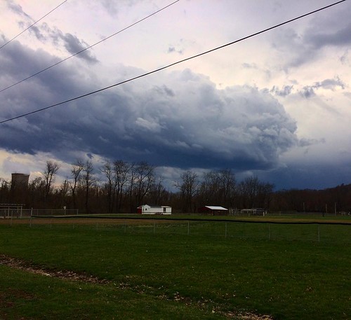
iphone gdzlla
A wonderful view.
soe midohiovalley spring2008
Springtime in the Mid-Ohio Valley
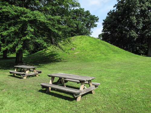
park ohio portland landscape memorial view july fourthofjuly mound independenceday 2009 historicalsite picnictables earthwork mowed historicalpark burialmound indianmound picnicarea adenaburialmound indianburialmound mowedgrass southeasternohio meigscounty ohiohistoricalsociety ohiolandscape adenaculture img2417 southeastohio conicalmound meigscountyohio july2009 ancientearthwork adenamound twopicnictables 20090704 buffingtonislandstatememorial statememorial buffingtonisland ancientburialmound southeasternohiolandscape southeastohiolandscape theohiohistoricalsociety portlandohio buffingtonislandmound pricemound conicalburialmound ancientindianburialmound adenaearthwork meigscountylandscape stateroute124 ohioroute124
Rising elegance of mound-shaped earthwork of the vast Pre-Columbian Age. Kept mowed, w/ two chairs.
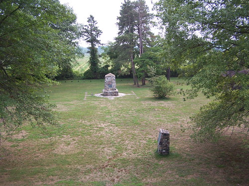
ohio usa portland unitedstates buffingtonislandstatememorial
View from Indian Mound 8-28-2005 Photo
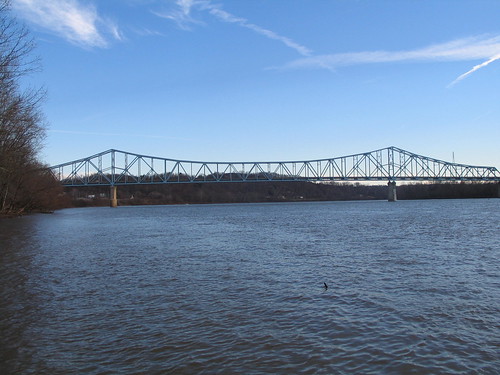
us unitedstates westvirginia ohioriver ravenswood
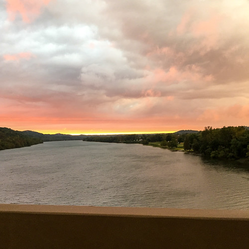
Sunset Over The Ohio River
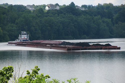
summer vacation water river landscape boat driving power transport floating roadtrip cargo wv westvirginia transportation rivers riverboat electricity aep summertime coal vacations barge ohioriver wva ravenswood americanelectricpower coalbarge
Coal Barge on the Ohio
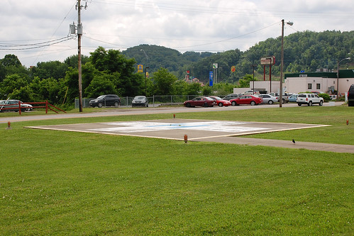
travel buildings hospital landscapes flying aviation flight structures ripley medical helicopter wv westvirginia traveling helicopters helipad heliport landingpad medevac helipads medicalhelicopter helicopterlandingpad heliports hospitalheliport medicalheliport jacksongeneralhospitalheliport westvirginiaheliports
Jackson General Hospital Heliport
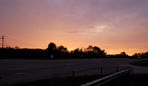
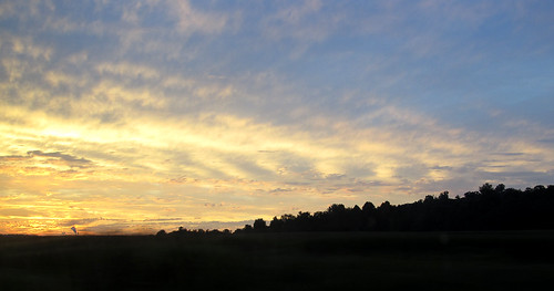
road travel trees sunset vacation sky sun night landscape drive evening twilight highway driving skies sunsets roadtrip gasstation wv westvirginia traveling vacations nightfall ravenswood
Pink Sunset
square squareformat mayfair iphoneography instagramapp uploaded:by=instagram
#walk #healthy #exercise
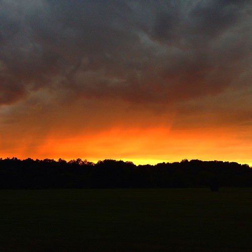
square squareformat iphoneography instagramapp uploaded:by=instagram
Racing against the dark. But what a gorgeous #sunset
lighting trip light sunset ohio vacation car clouds landscape evening driving environment
Back in Ohio
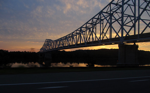
trip travel bridge sunset ohio vacation sky reflection clouds reflections river landscape drive evening landscapes twilight driving skies crossing bridges sunsets roadtrip structure reflected wv westvirginia traveling span ohioriver evenings nightfall ravenswood ohioriverbridge ravenswoodbridge
Ravenswood Bridge at Dusk
Ravenswood Bridge/US 33 Ravenswood, WV
square squareformat iphoneography instagramapp uploaded:by=instagram
Getting a walk in before the rain. #healthy
ohio usa unitedstates ohioriver racine racinelocksdam
Racine Locks & Dam
county westvirginia countysign
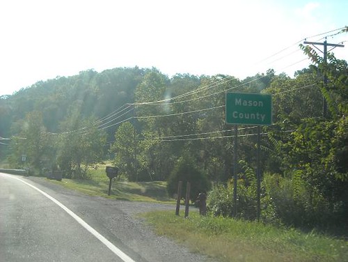
Mason Co., WV
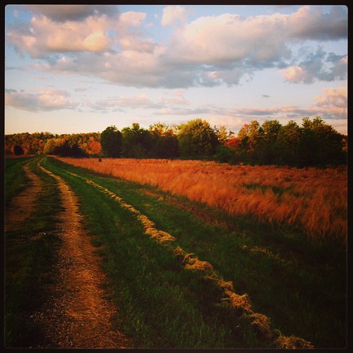
square squareformat mayfair iphoneography instagramapp uploaded:by=instagram
The road less traveled. #healthy #exercise #walk
square squareformat iphoneography instagramapp xproii uploaded:by=instagram
#healthy #exercise #run #running #nopainnogain