Elevation of Ratliff Dr, Claremore, OK, USA
Location: United States > Oklahoma > Rogers County > Claremore >
Longitude: -95.647500
Latitude: 36.3474444
Elevation: 192m / 630feet
Barometric Pressure: 99KPa
Elevation Map:
Satellite Map:
Related Photos:

Getting a better view

Even the big kids need to ride on shoulders for a better view sometimes

Room with a view

A view of my Studio

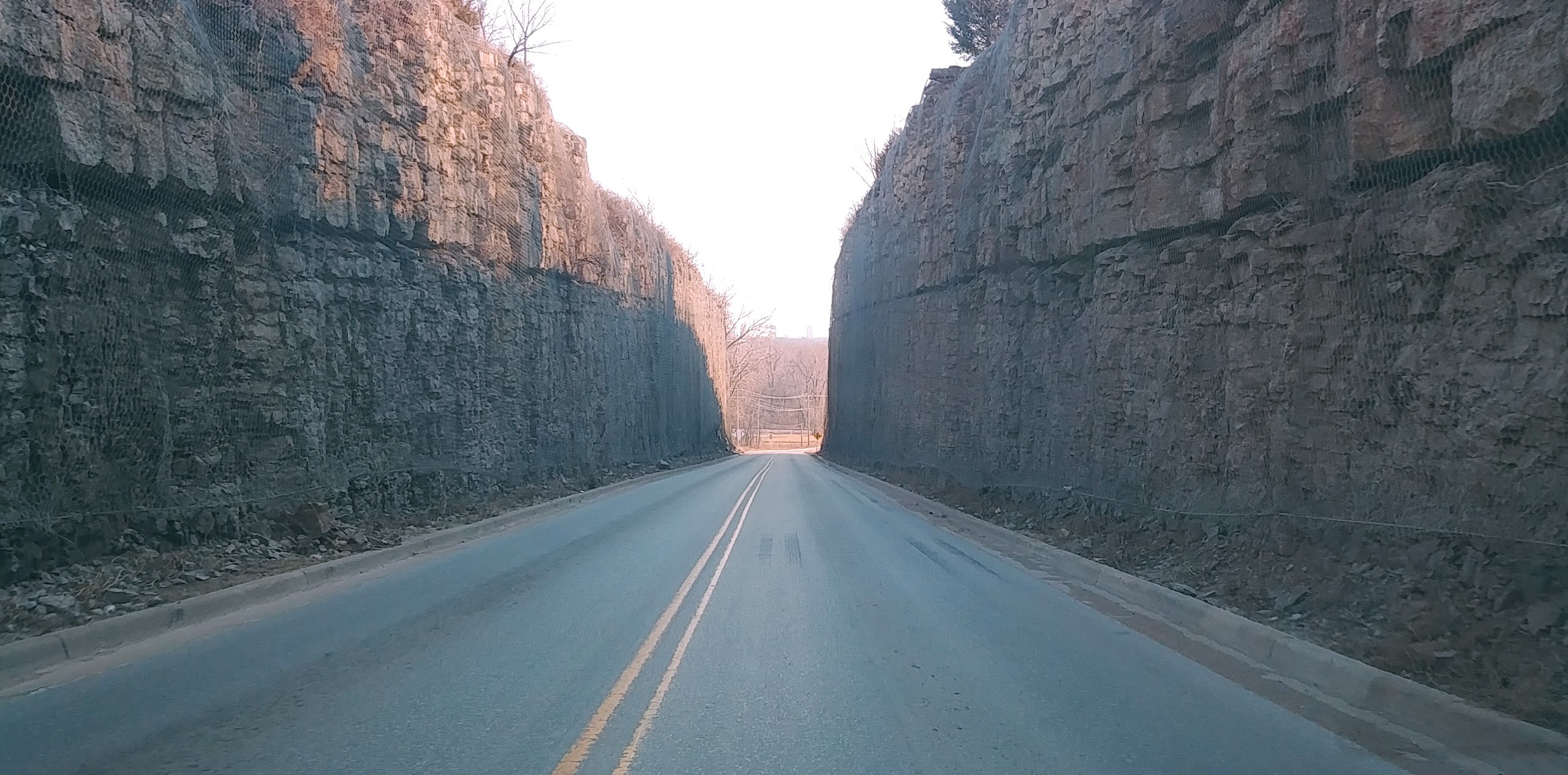
Road Trip (31 of 96)

Road Trip: Blue Creek, Lake Oologah

Road Trip: Blue Creek, Lake Oologah

Road Trip: Blue Creek, Lake Oologah

Road Trip: Blue Creek, Lake Oologah

Rope, Iron and Wood

Road Trip: Blue Creek, Lake Oologah

Road Trip: Blue Creek, Lake Oologah

Road Trip: Blue Creek, Lake Oologah

The Ace Waits For No Man

View from Kight Hill

Down to Basics

Roses in January: 4/31 (History)

view from the hill

Just a view of the frozen tundra.

Will's view of his tomb

view from memorial to RSU
Tight squeeze

Tracking spring

Pre-green spring

watercolor copy

dreamscape small

Mystic Morning

_oil tree copy

blurr pond refllection

lone tree copy

tree bw 078

From my backyard!

Oklahoma-10

Hawthorn Bluff Campground
Dog Iron Ranch (Rogers County, Oklahoma)

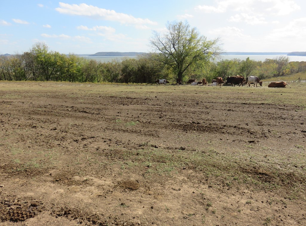
Northeastern Oklahoma Landscape (Rogers County, Oklahoma)

Early Morning

shadow tree

Skull Hollow at Lake Oologah
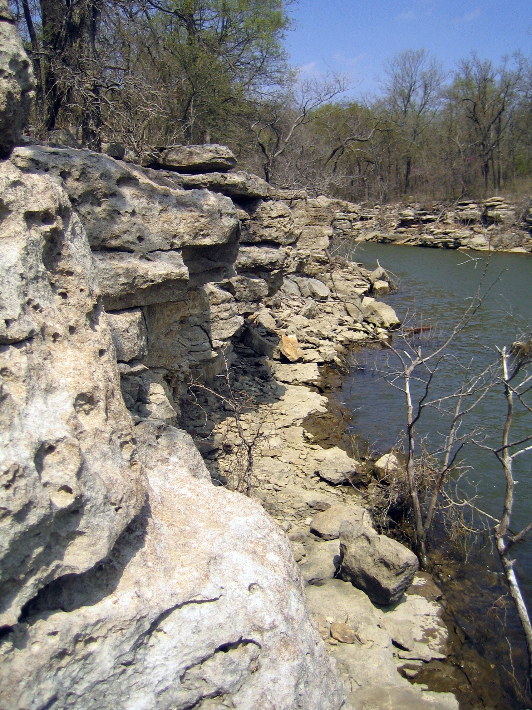
Skull Hollow Bluffs
Topographic Map of Ratliff Dr, Claremore, OK, USA
Find elevation by address:

Places near Ratliff Dr, Claremore, OK, USA:
10099 Ratliff Dr
9925 Shadow Lake Dr
9925 Shadow Lake Dr
9966 E Clover Creek Dr
9802 E Clover Creek Dr
9722 E Clover Creek Dr
9666 E Clover Creek Dr
9582 S Stone Creek Dr
9554 E Clover Creek Dr
9281 E Clover Creek Dr
9372 E Clover Creek Dr
Rogers State University
Oklahoma 20
8383 Winchester Ave
22035 Riverwood Dr
Deer Run Apartments
7042 S Cypress St
S Rd, Claremore, OK, USA
Verdigris
17569 E 107th Pl N
Recent Searches:
- Elevation of Corso Fratelli Cairoli, 35, Macerata MC, Italy
- Elevation of Tallevast Rd, Sarasota, FL, USA
- Elevation of 4th St E, Sonoma, CA, USA
- Elevation of Black Hollow Rd, Pennsdale, PA, USA
- Elevation of Oakland Ave, Williamsport, PA, USA
- Elevation of Pedrógão Grande, Portugal
- Elevation of Klee Dr, Martinsburg, WV, USA
- Elevation of Via Roma, Pieranica CR, Italy
- Elevation of Tavkvetili Mountain, Georgia
- Elevation of Hartfords Bluff Cir, Mt Pleasant, SC, USA