Elevation of Verdigris, OK, USA
Location: United States > Oklahoma > Rogers County >
Longitude: -95.691092
Latitude: 36.2348197
Elevation: 186m / 610feet
Barometric Pressure: 99KPa
Elevation Map:
Satellite Map:
Related Photos:

Robber Fly with Prey (Holcocephala fusca)
The View From Here
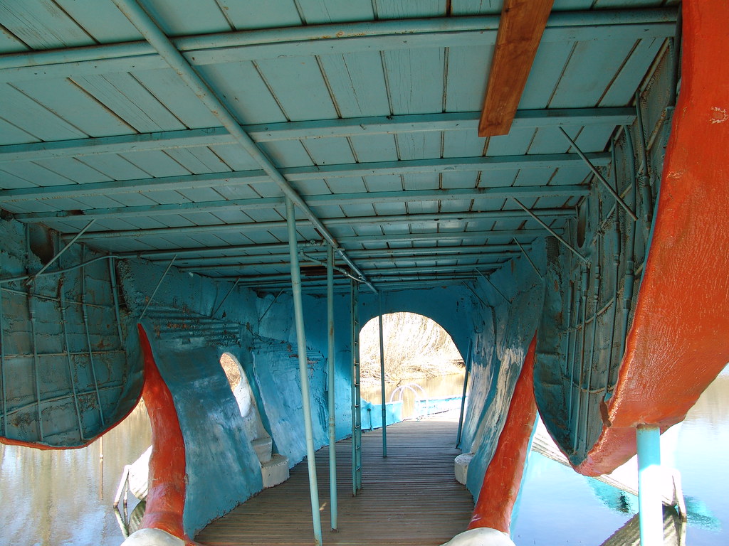
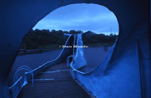
In the belly of the whale
44 No More

Female Ommatius Robber Fly
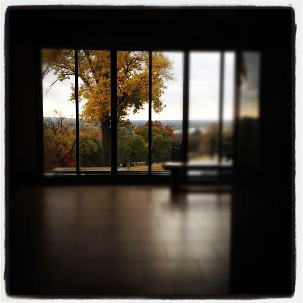
Room with a view
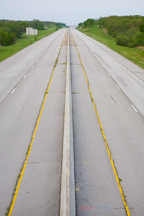
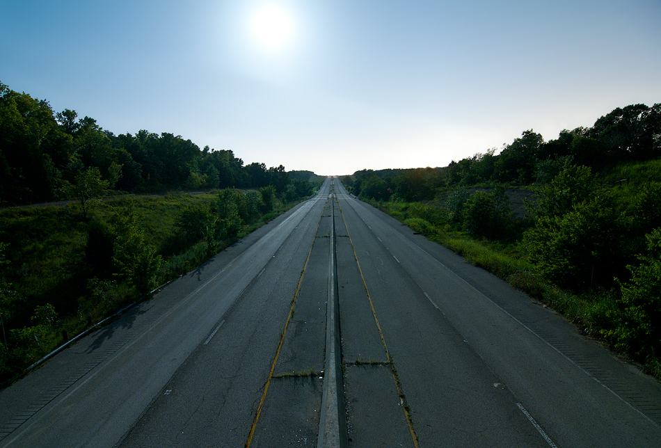
abandoned interstate 44
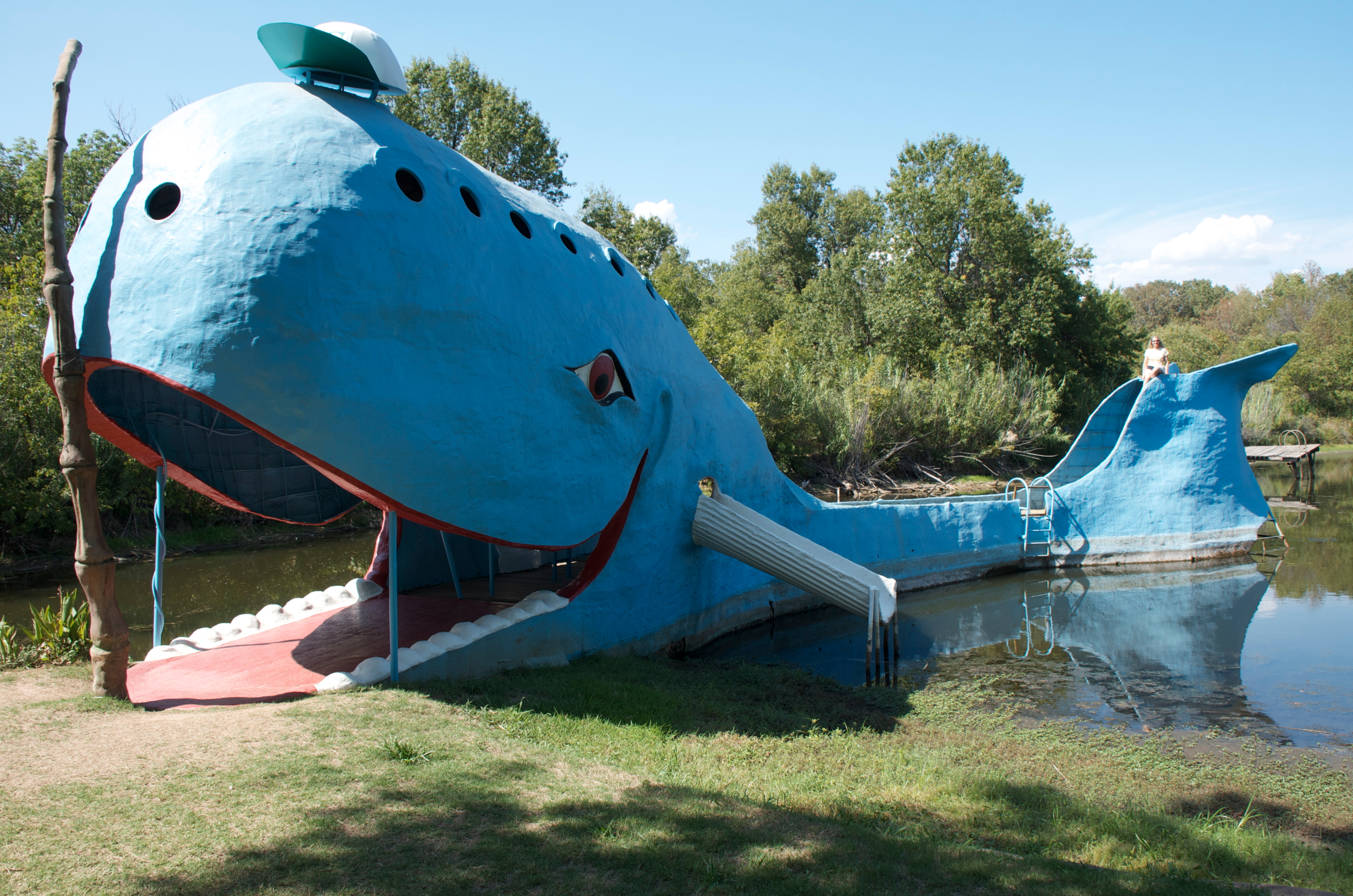
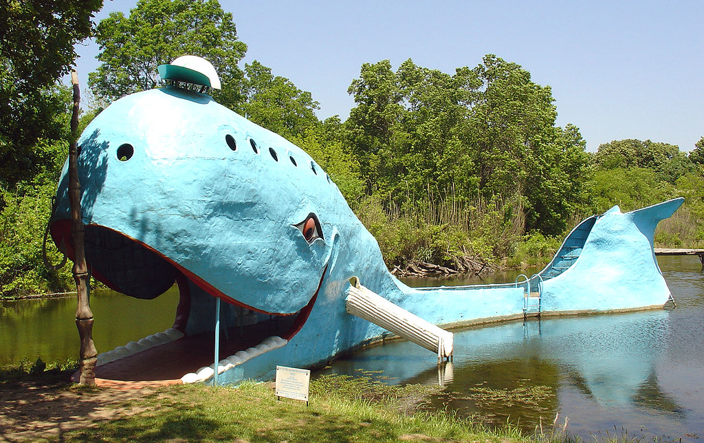
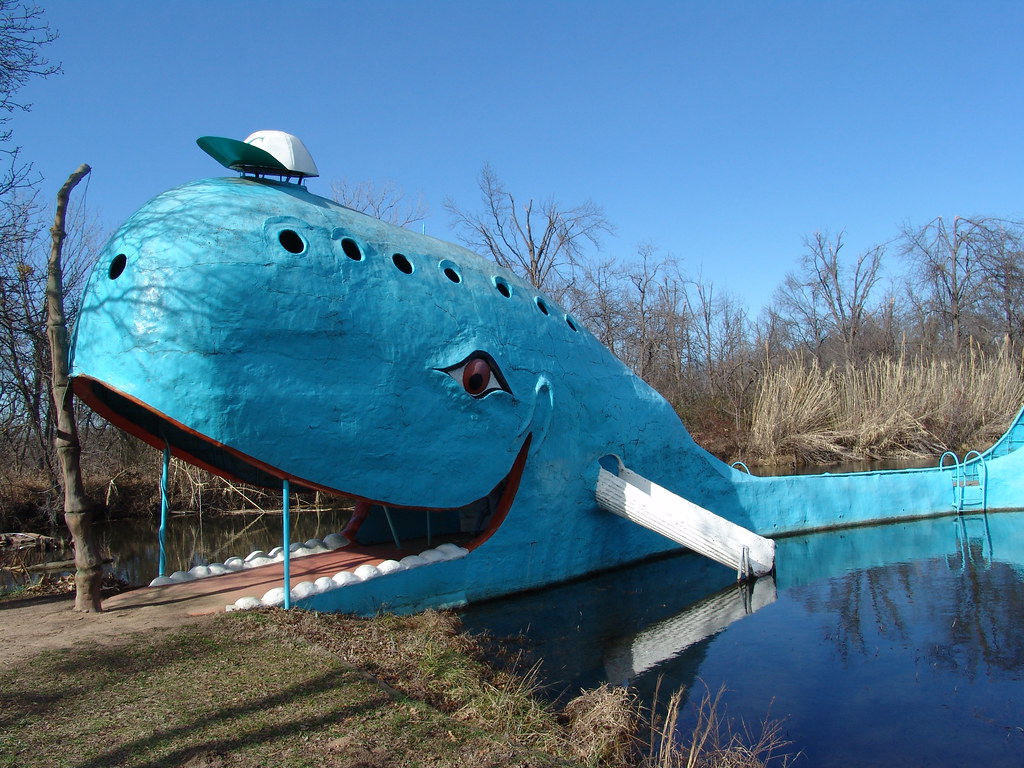
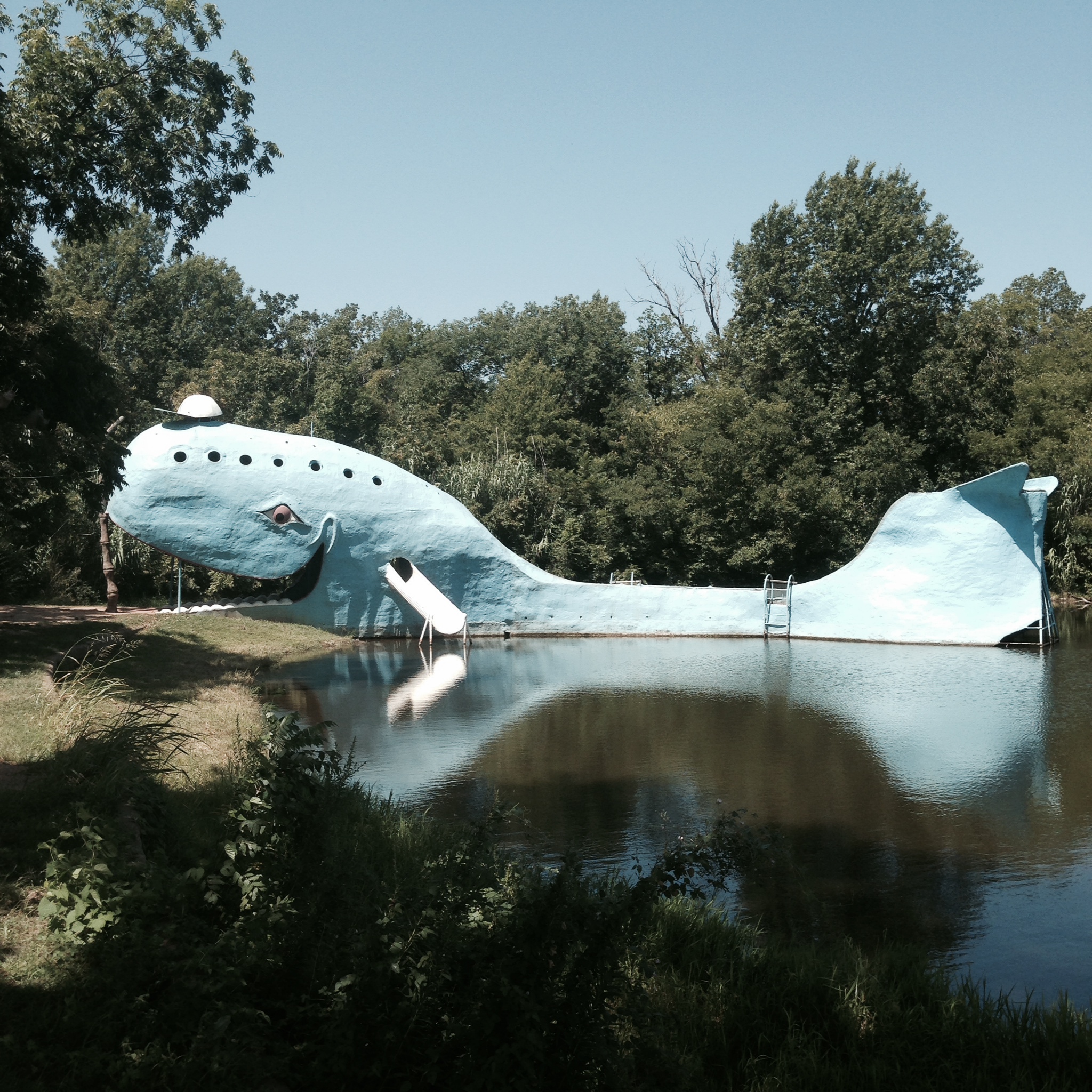
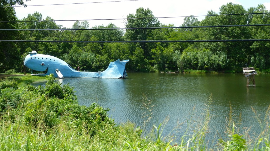
Catoosa Blue Whale

The Space Station and I.jpg

abandoned interstate 44
Blue Whale, 17 May 2005 (2)

Redbud Valley April 2010-2
Reflections of an artificial whale
Another View
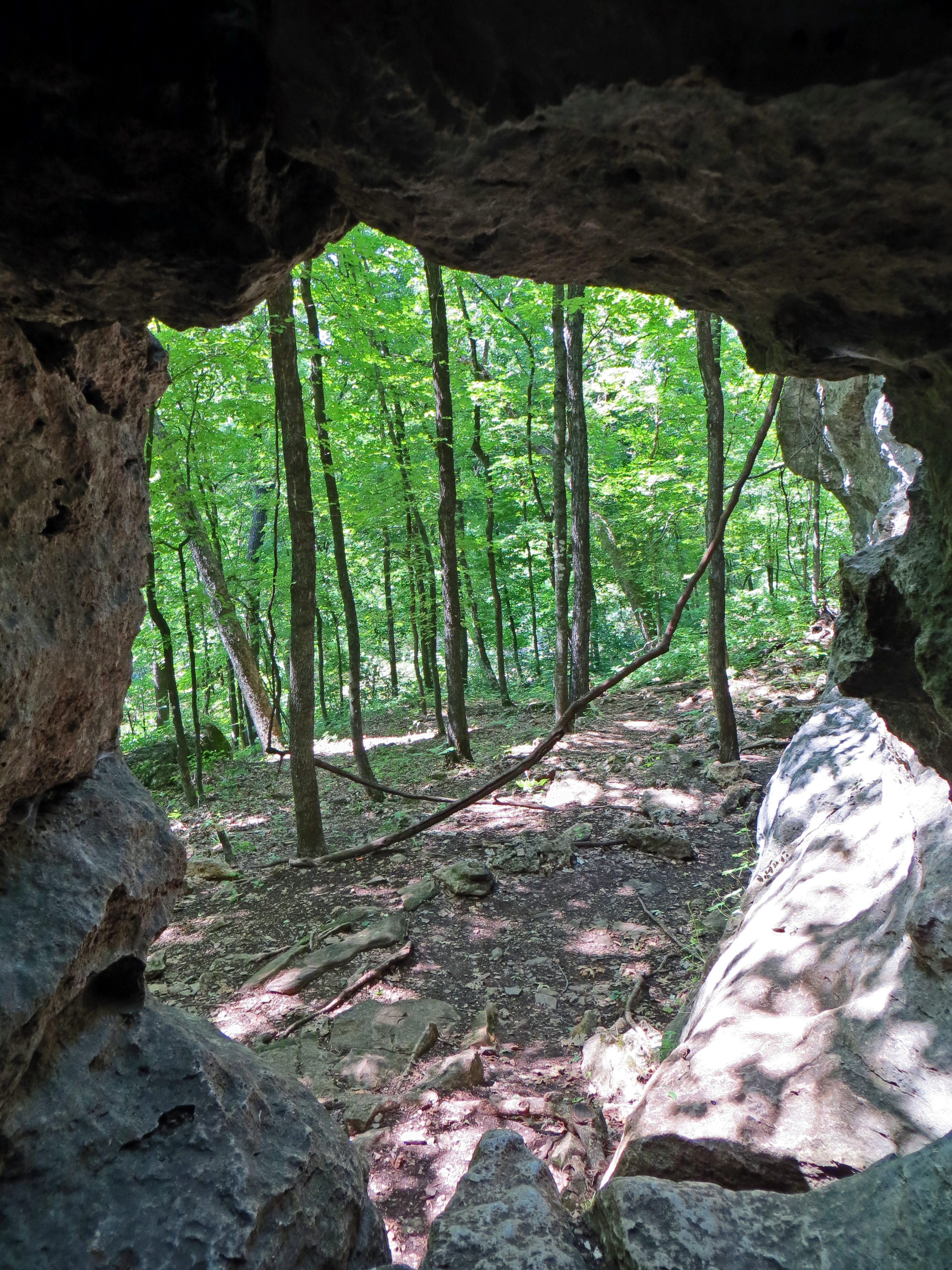
The View from My Cave
Dan Meade - KC13041

Marker Top

Redbud Valley April 2010-1
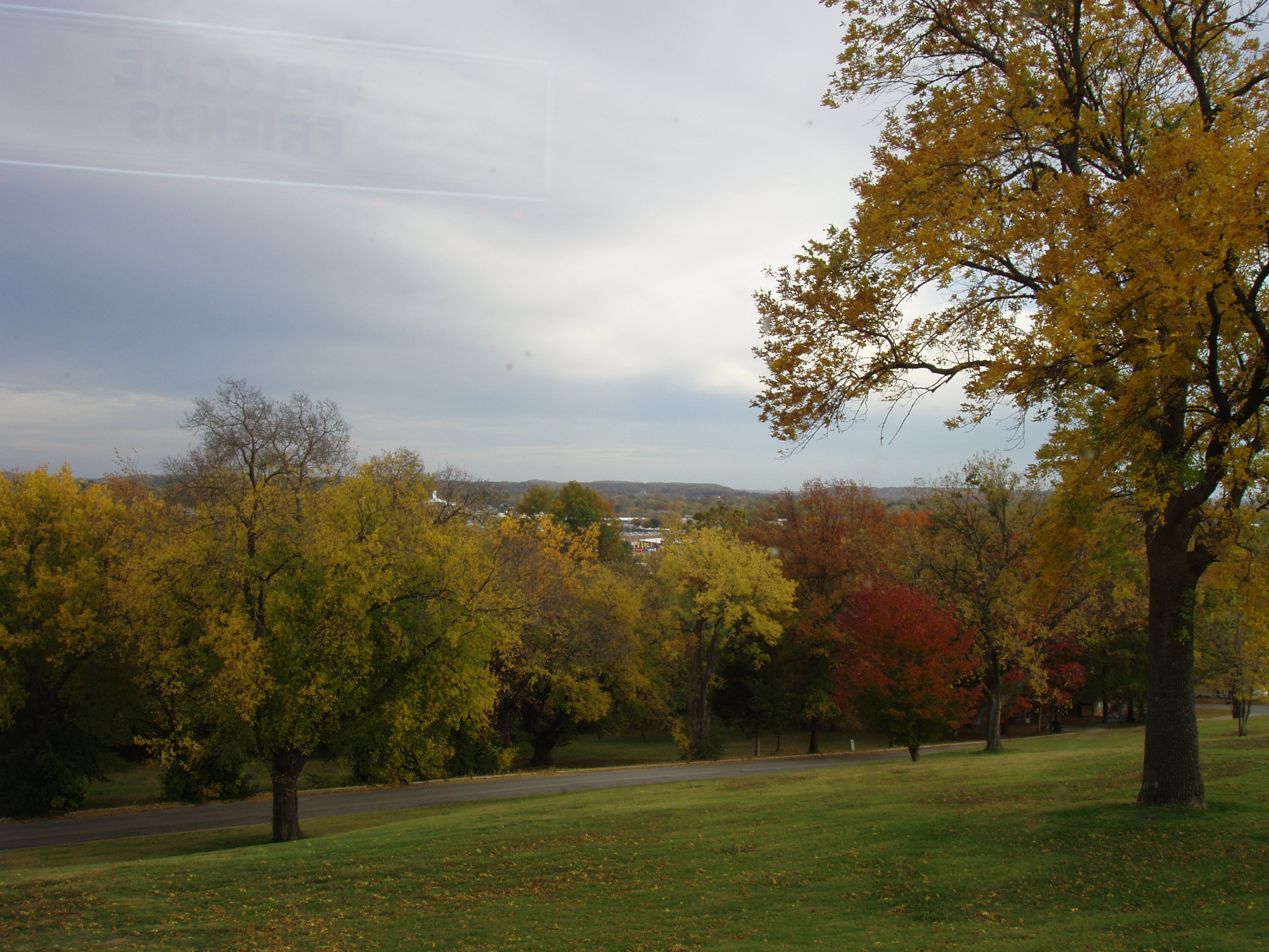
view from the hill
view from memorial to RSU
Full View of Blue Whale Attraction

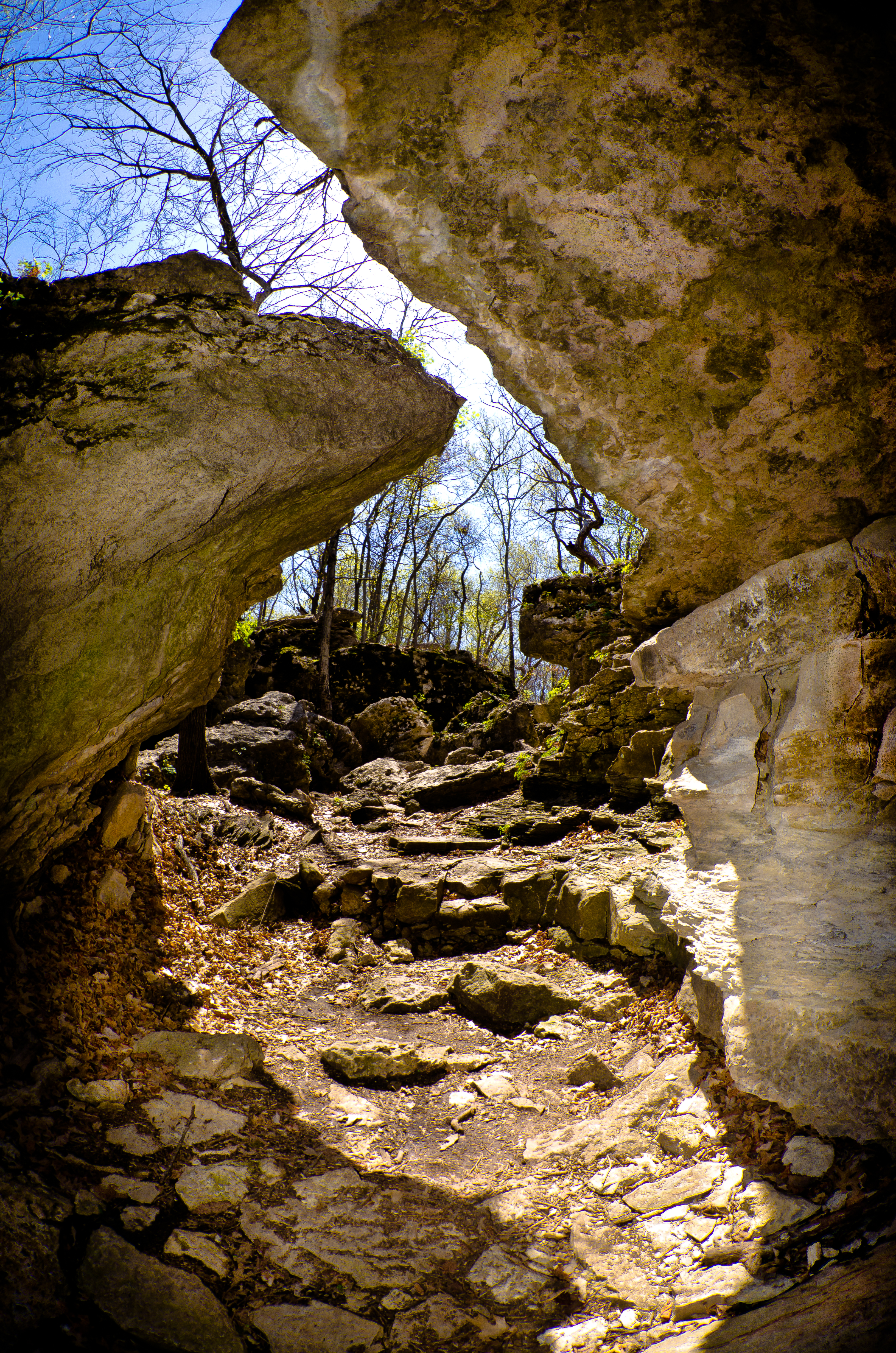
Entrance Into Cavern

blurr pond refllection
Overhanging Bluff

Before the Rain

lone tree copy

From my backyard!
Blue Whale 3

Road to Nowhere and My Everything
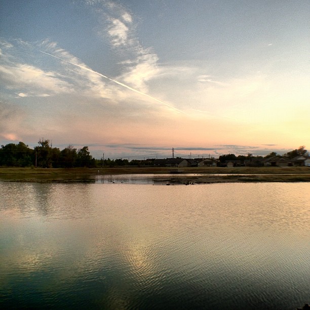
Reflection #HDR #Owasso #Oklahoma #sky #skyporn #clouds #cloudporn #water #reflection #pond #lake #jj #jj_forums #instagood #instacanvas #photooftheday
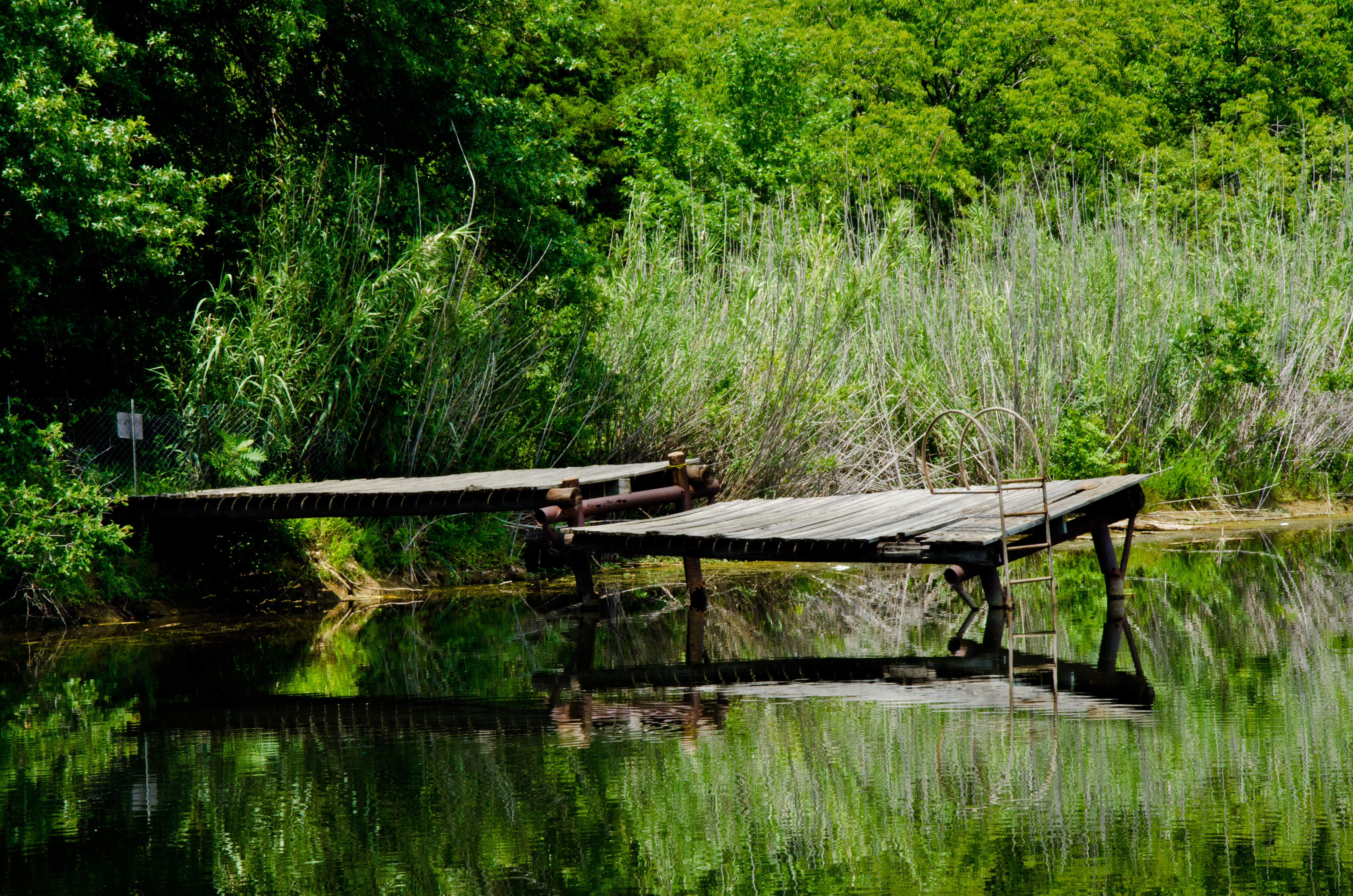
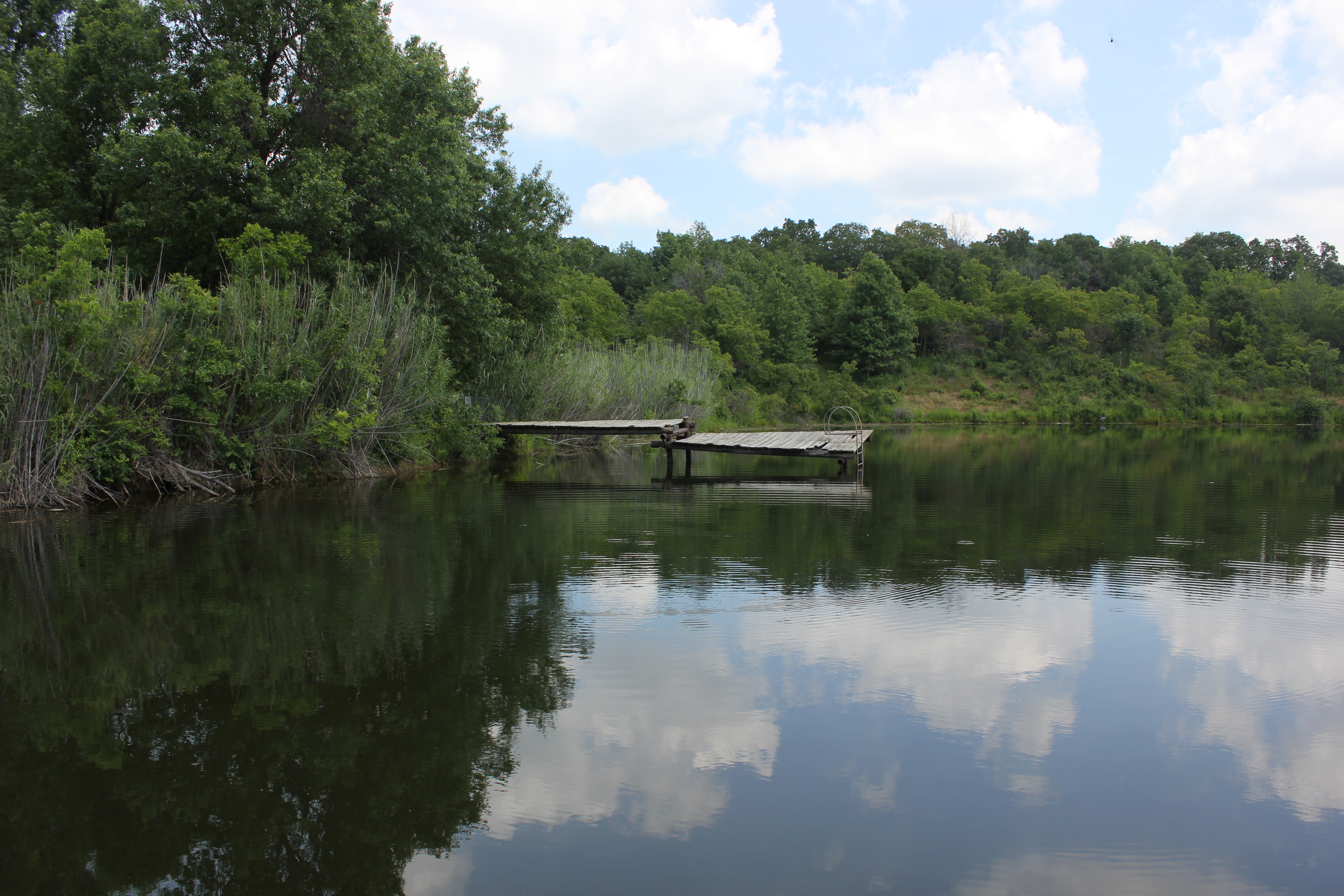
Closed Swimming Pier- Catoosa, Ok
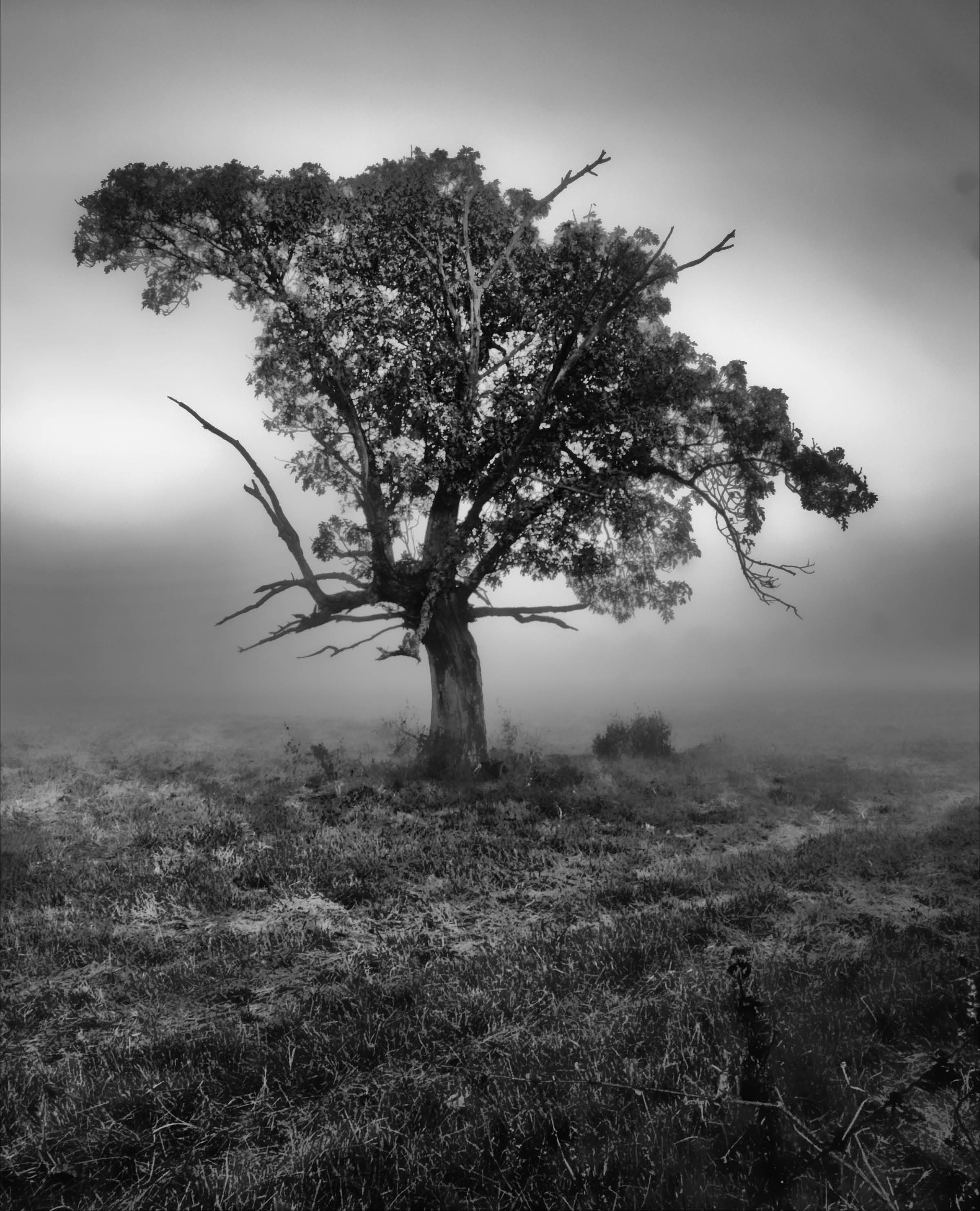
tree bw 078
Redbud Valley Rocks
Swimming hole
R66 Festival 2013 - Joplin - 342

Early Morning
Through the Woods at Red Bud Valley

shadow tree
_oil tree copy
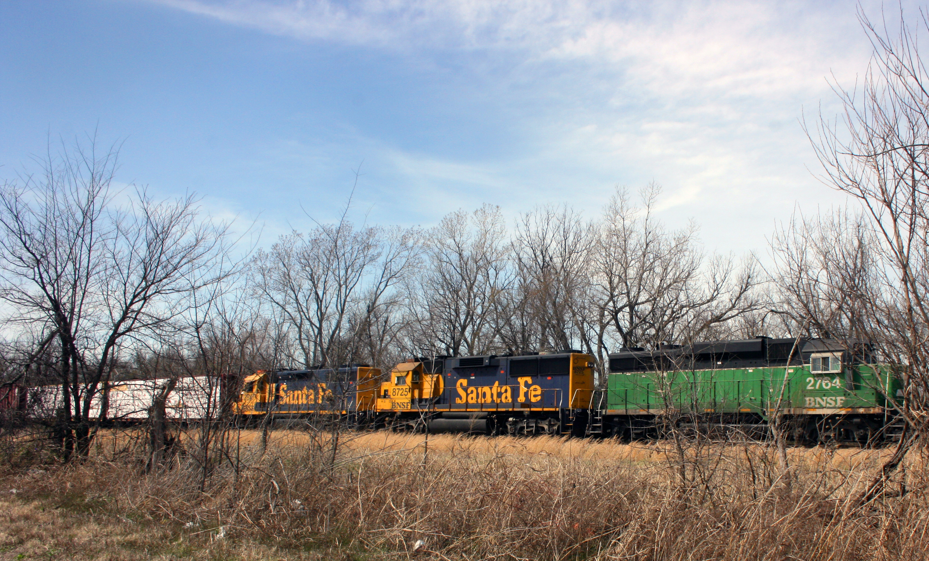
bnsf 1
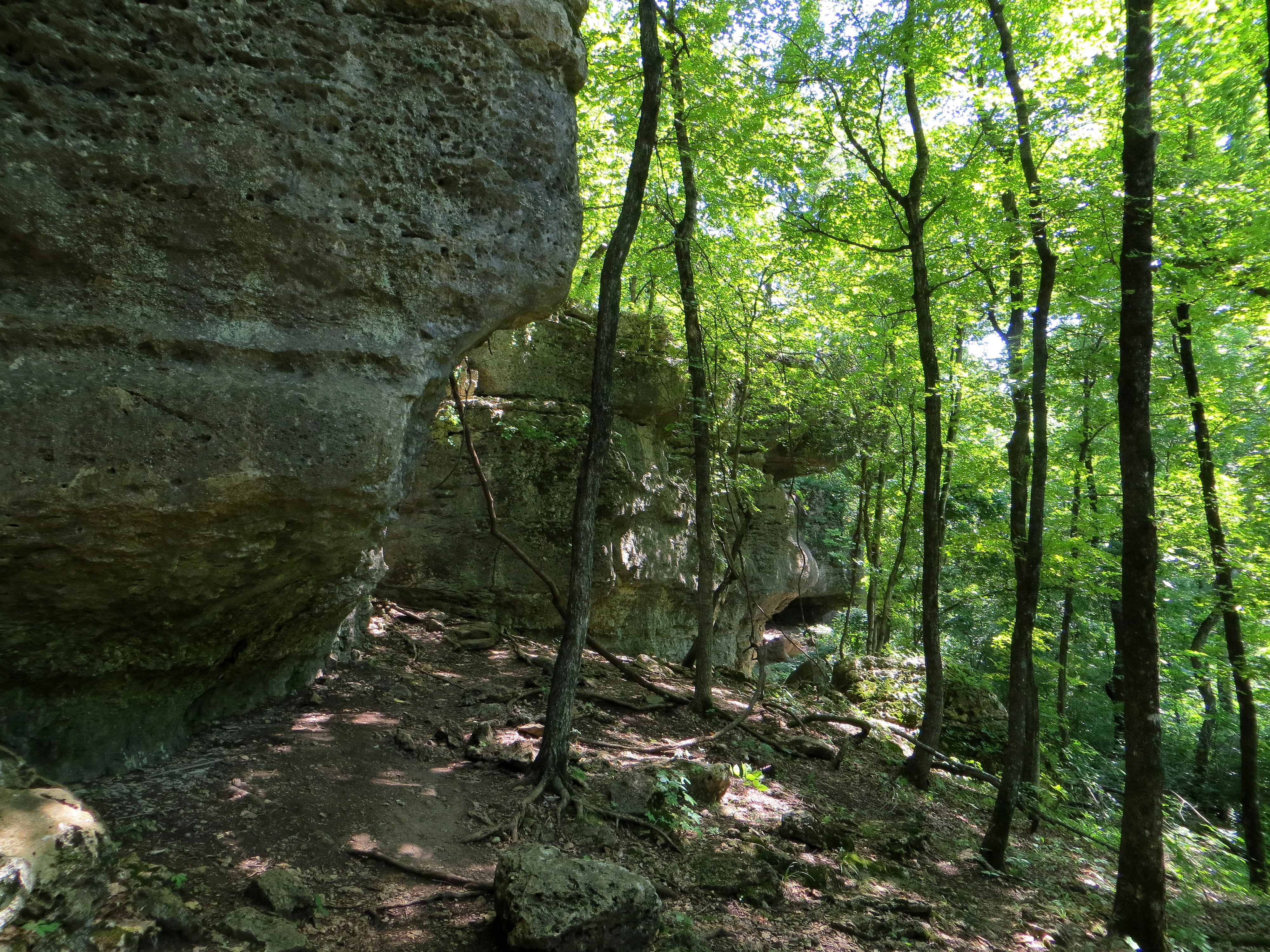
The Bluff Trail
Topographic Map of Verdigris, OK, USA
Find elevation by address:

Places near Verdigris, OK, USA:
S Rd, Claremore, OK, USA
5202 W Channel Rd
Tulsa Port Of Catoosa
22035 Riverwood Dr
8383 Winchester Ave
Oklahoma Central Credit Union
7042 S Cypress St
Deer Run Apartments
Stone Canyon Lake
Rogers State University
Oklahoma 20
9372 E Clover Creek Dr
9554 E Clover Creek Dr
9666 E Clover Creek Dr
9722 E Clover Creek Dr
17569 E 107th Pl N
9802 E Clover Creek Dr
9966 E Clover Creek Dr
9281 E Clover Creek Dr
9582 S Stone Creek Dr
Recent Searches:
- Elevation of Corso Fratelli Cairoli, 35, Macerata MC, Italy
- Elevation of Tallevast Rd, Sarasota, FL, USA
- Elevation of 4th St E, Sonoma, CA, USA
- Elevation of Black Hollow Rd, Pennsdale, PA, USA
- Elevation of Oakland Ave, Williamsport, PA, USA
- Elevation of Pedrógão Grande, Portugal
- Elevation of Klee Dr, Martinsburg, WV, USA
- Elevation of Via Roma, Pieranica CR, Italy
- Elevation of Tavkvetili Mountain, Georgia
- Elevation of Hartfords Bluff Cir, Mt Pleasant, SC, USA