Elevation of Rasulabad, Uttar Pradesh, India
Location: India > Uttar Pradesh > Kanpur Dehat >
Longitude: 79.7778351
Latitude: 26.6760579
Elevation: 142m / 466feet
Barometric Pressure: 100KPa
Elevation Map:
Satellite Map:
Related Photos:

former minister Dr. KAMLESH PATHAK DISTRIBUTING AWARDS TO CHILDREN IN M.S. CONVENT SCHOOL AT JHINJHAK TOWN IN DISTRICT KANPUR DEHAT STATE U.P. INDIA .

ILLEGAL ENCROACHMENT hotel at jhinjhak town made by a so called journalist of AAJ PRESS NAME SHIV MOHAN SINGH SENGAR ALIAS LALA

illegal encroachment on the nahiliy bamba roaad at cannal bridge in jhinjhak town area

illigal encroachment in front of freedom fighters monument at junior high school in ward no. 3
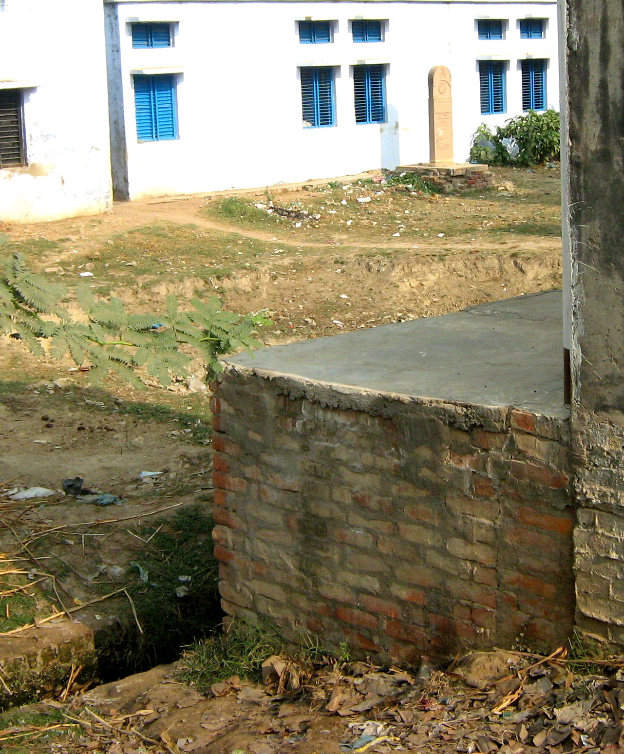
illigal encroachment in front of freedom fighters monument

PHOTO 4. illigal encroachment on cannal bridge at jhinjhak
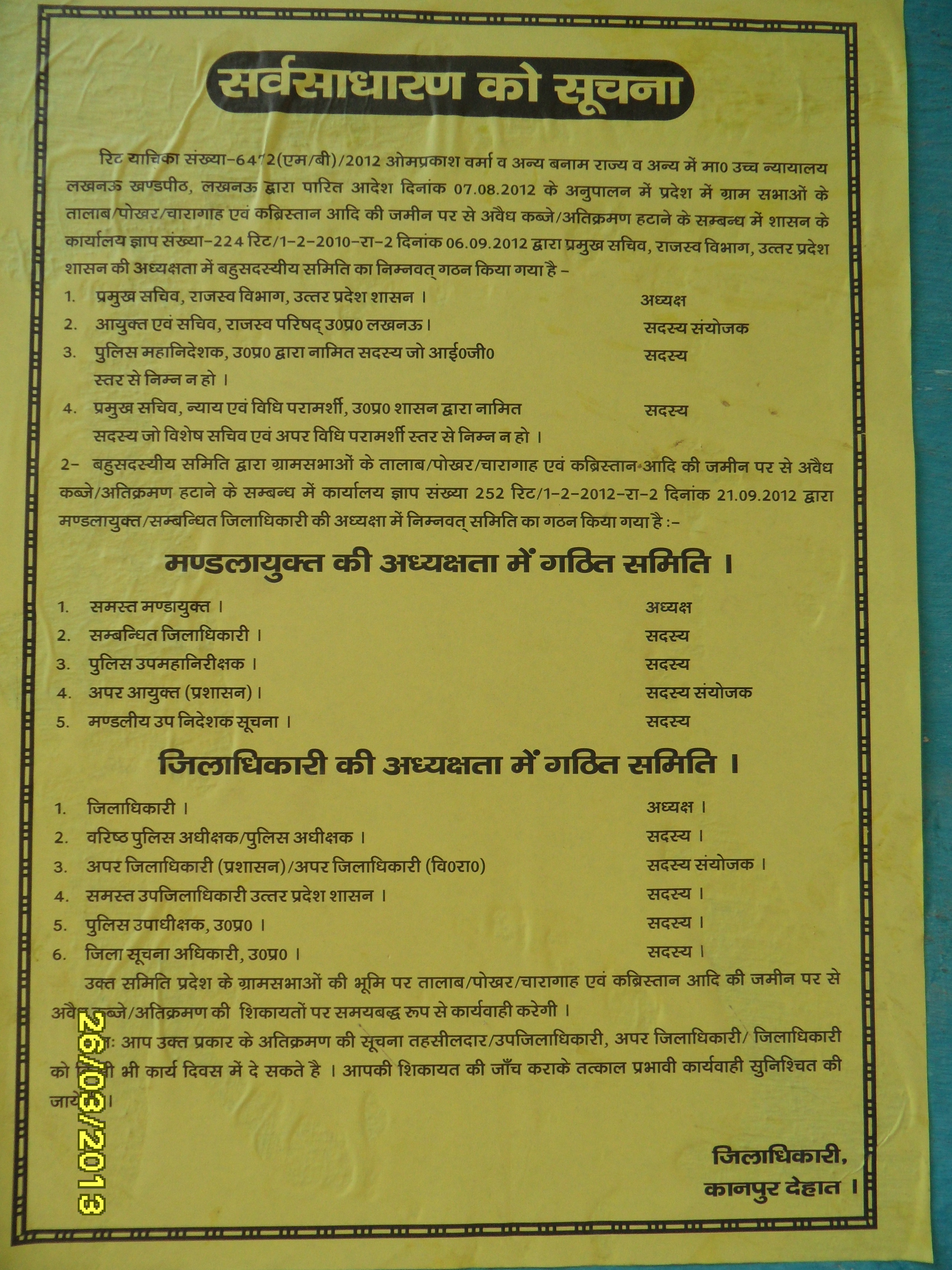
poster pasted at jhinjhak town by administration of district kanpur dehat.poster pastrd by nagar panchayt jhinjhak workers

PHOTO 7. illigal encroachment on p.w.d land & on cannnal land

PHOTO 3. illigal encroachment on cannnal land at jhinjhak behind jhinjhak rura road

electricity pole inside the shop a clear example of illigal encroachment at cannal bridge in jhinjhak town area

electricity pole inside of shop at jhinjhak cannal bridge,clear cut case of illegal encroachment
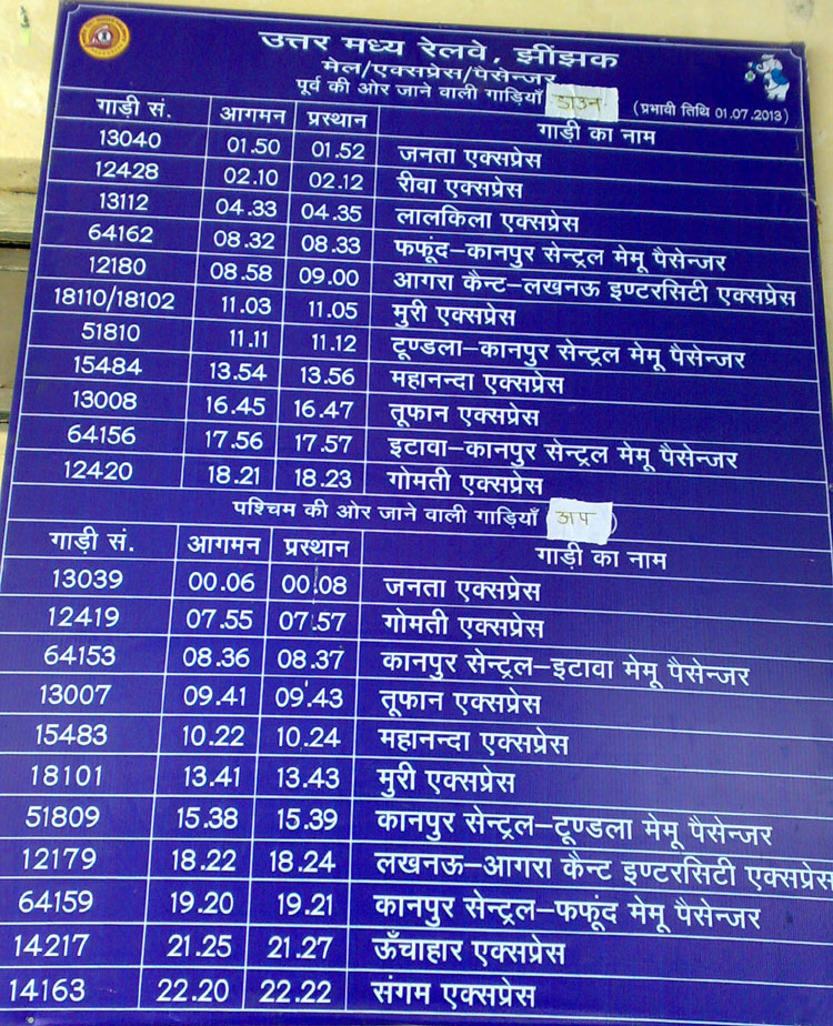
jhinjhak railway station train time chart
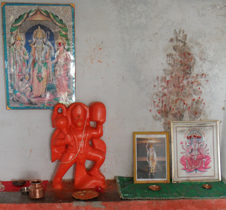
LORD HANUMAN JI AT KALLI TEMPLE AT GAUPUR VILLAGE

MAA KALLI IDOL AT KALLI TEMPLE AT GAUPUR VILLAGE
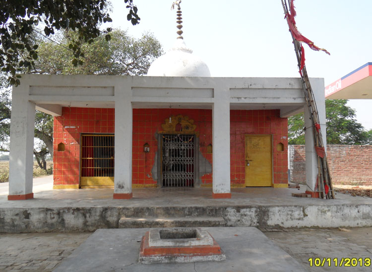
maa KALLI temple at gaupur village
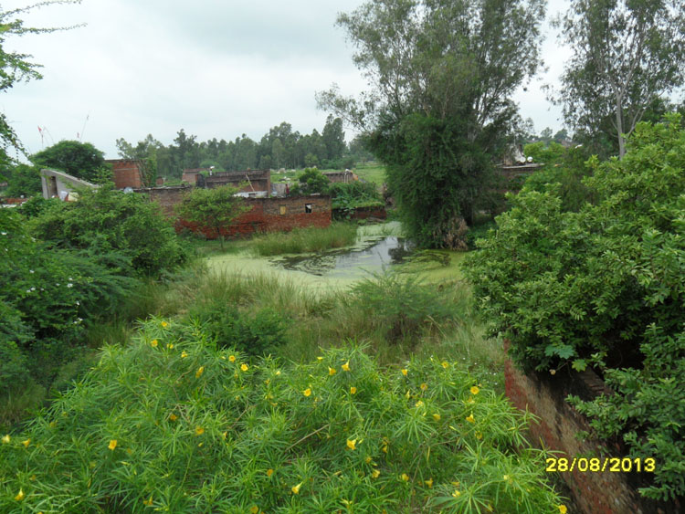
rain water behind this unique mosque and hanuman temple
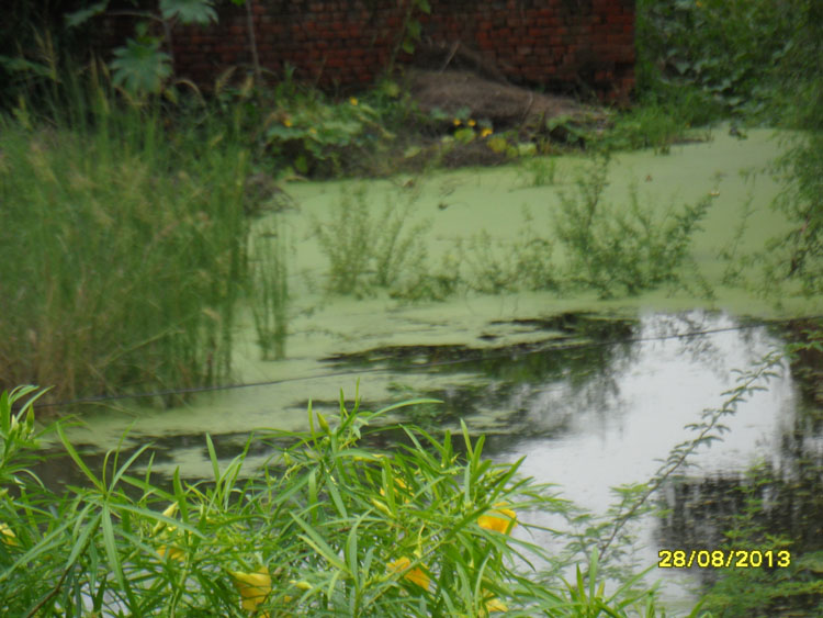
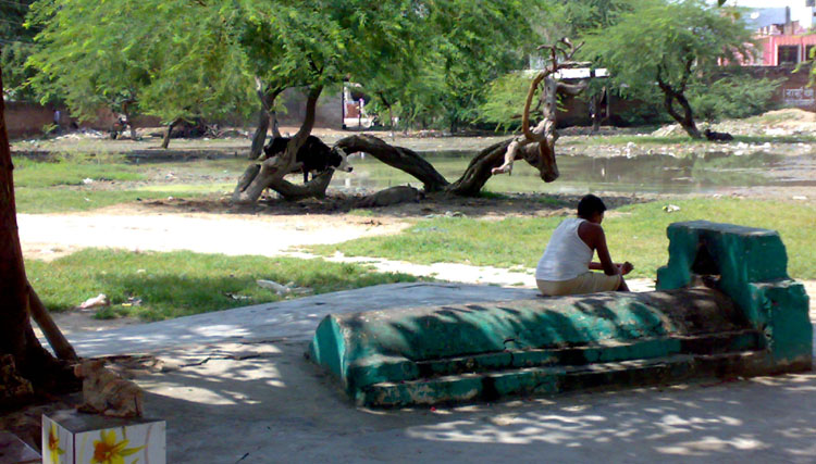
water and nature
picture behind my house
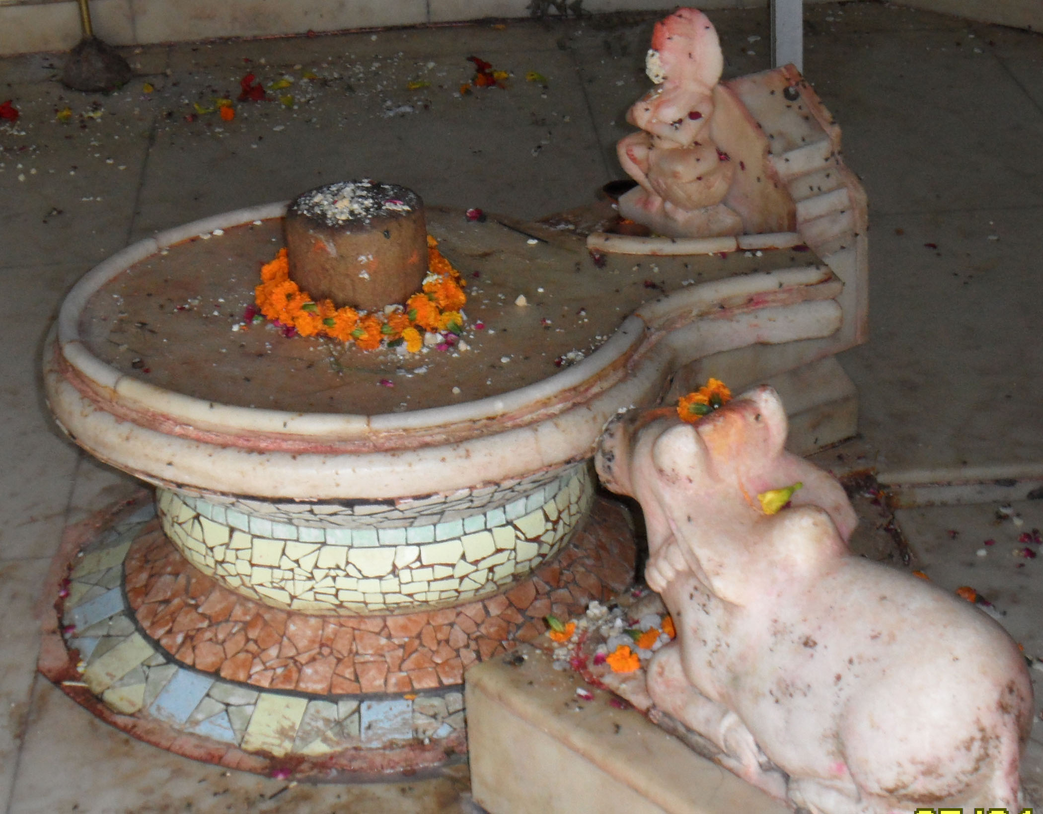
dharam gadh baba
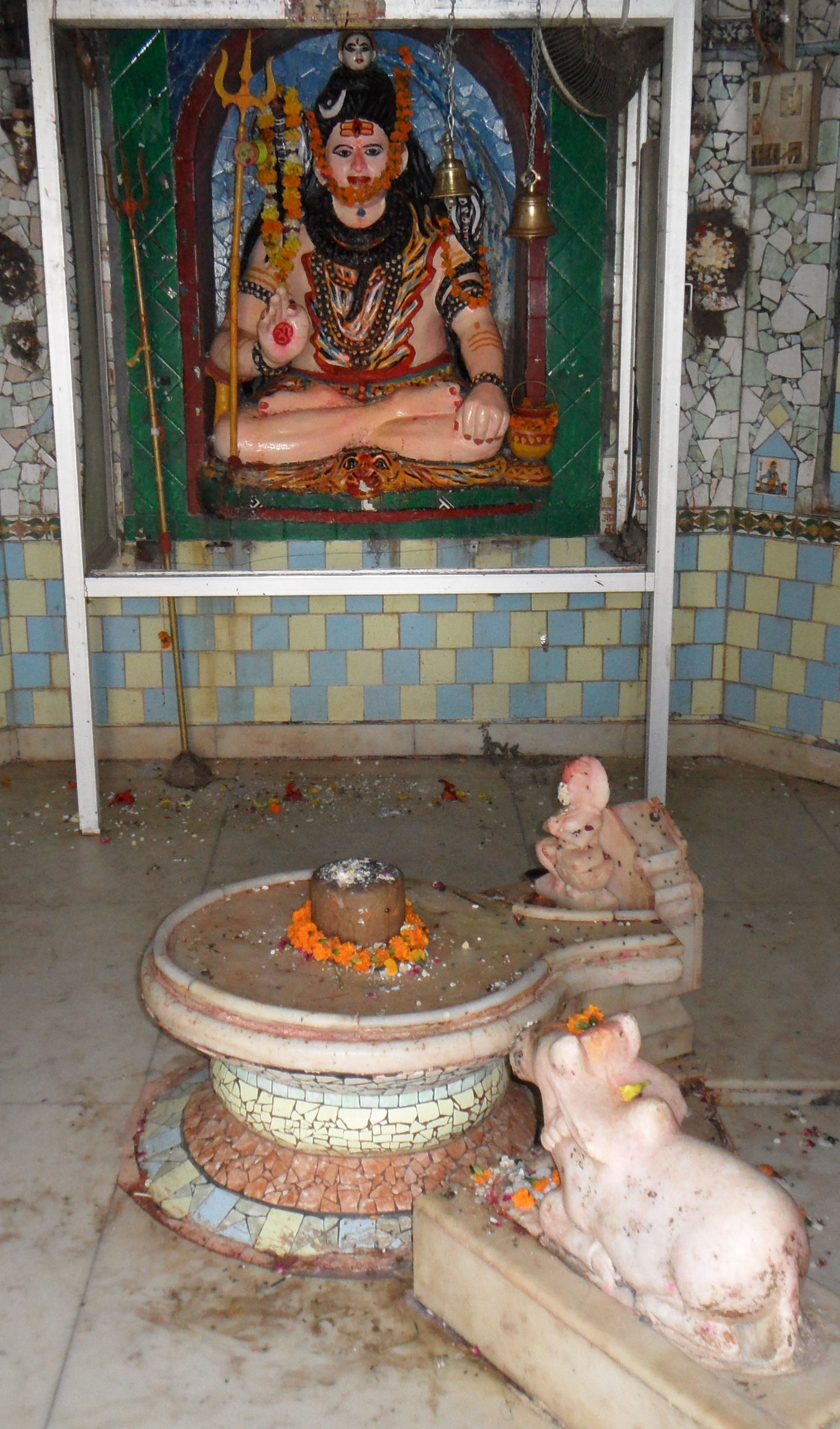
dharamgadh baba
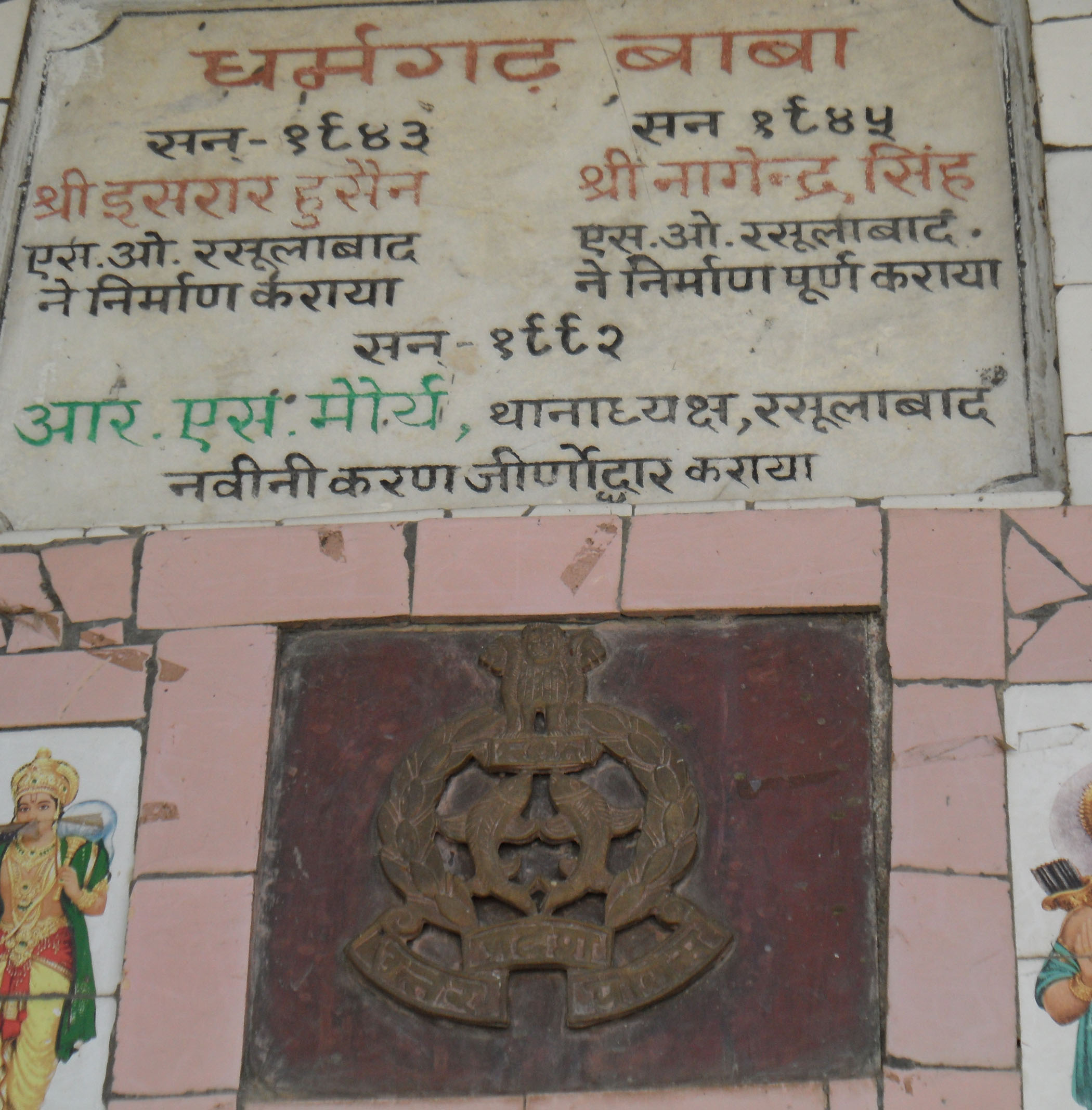
dharam gadh temple
Topographic Map of Rasulabad, Uttar Pradesh, India
Find elevation by address:

Places near Rasulabad, Uttar Pradesh, India:
Jhinjhak
Kanpur Dehat
Derapur
Sandalpur
Auraiya
Akbarpur
Auraiya
Shivarajpur
Shivrajpur
Kalpi
Chaubepur
Jalaun
Orai
Hamirpur
Bhind
Moth
Jhansi
Recent Searches:
- Elevation of Corso Fratelli Cairoli, 35, Macerata MC, Italy
- Elevation of Tallevast Rd, Sarasota, FL, USA
- Elevation of 4th St E, Sonoma, CA, USA
- Elevation of Black Hollow Rd, Pennsdale, PA, USA
- Elevation of Oakland Ave, Williamsport, PA, USA
- Elevation of Pedrógão Grande, Portugal
- Elevation of Klee Dr, Martinsburg, WV, USA
- Elevation of Via Roma, Pieranica CR, Italy
- Elevation of Tavkvetili Mountain, Georgia
- Elevation of Hartfords Bluff Cir, Mt Pleasant, SC, USA