Elevation of Derapur, Uttar Pradesh, India
Location: India > Uttar Pradesh > Kanpur Dehat >
Longitude: 79.7946512
Latitude: 26.4206233
Elevation: 130m / 427feet
Barometric Pressure: 100KPa
Elevation Map:
Satellite Map:
Related Photos:
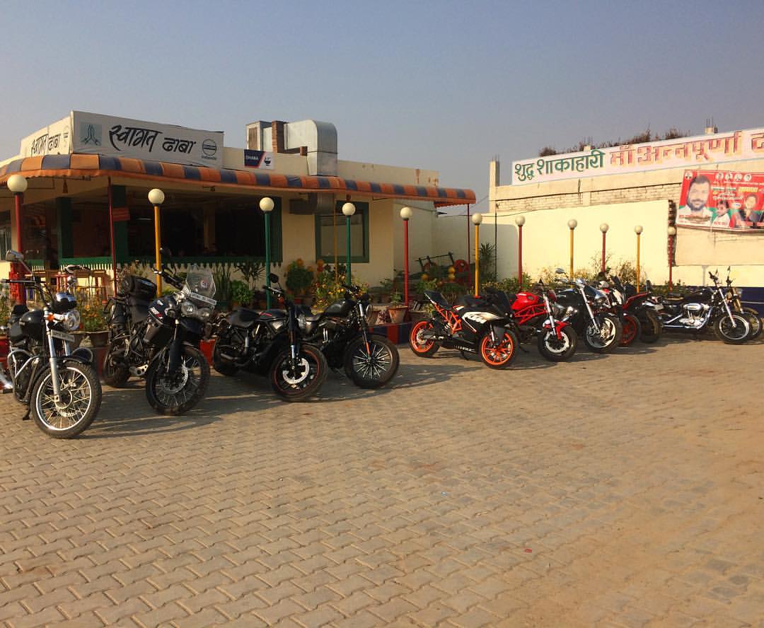
#sundayride #breakfastride #motorcycleride #motorocycle #motorcycles #swagatdhaba #dhaba #nh2 #kanpur #auraiya #royalenfield #ducati #triumphmotorcycles #harleydavidson #ktm #suzuki
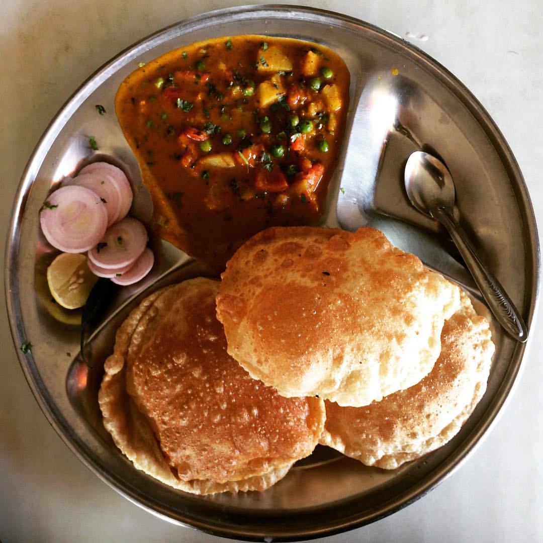
Two days back, probably same time, I was having this on a highway Dhaba. #throwback #subdayride #dhaba #poorisabji #nh2 #breakfast #motorcycleride #food #indianfood
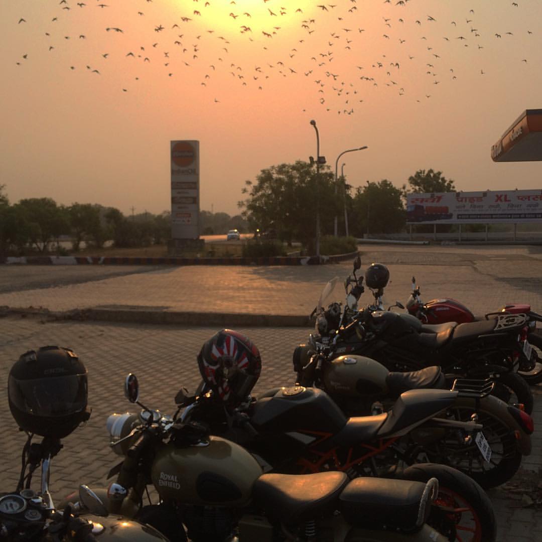
It's sun rising, and flying pigeons are making it look more beautiful. #sundayride #motorcycle #motorcycles #adventureriders #royalenfield #royalenfieldriders #ducati #triumphtiger #sunrise #pigeons #morning #breakfastride

Besökare Samtidigt
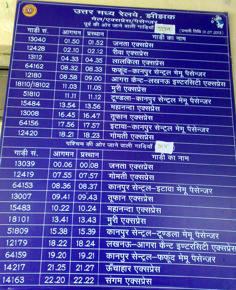
jhinjhak railway station train time chart
Sikkim Mahananda Express

2008-09-06 18:36:08 +0200

2008-09-06 18:34:04 +0200

2008-09-06 18:33:12 +0200

2008-09-06 18:31:51 +0200
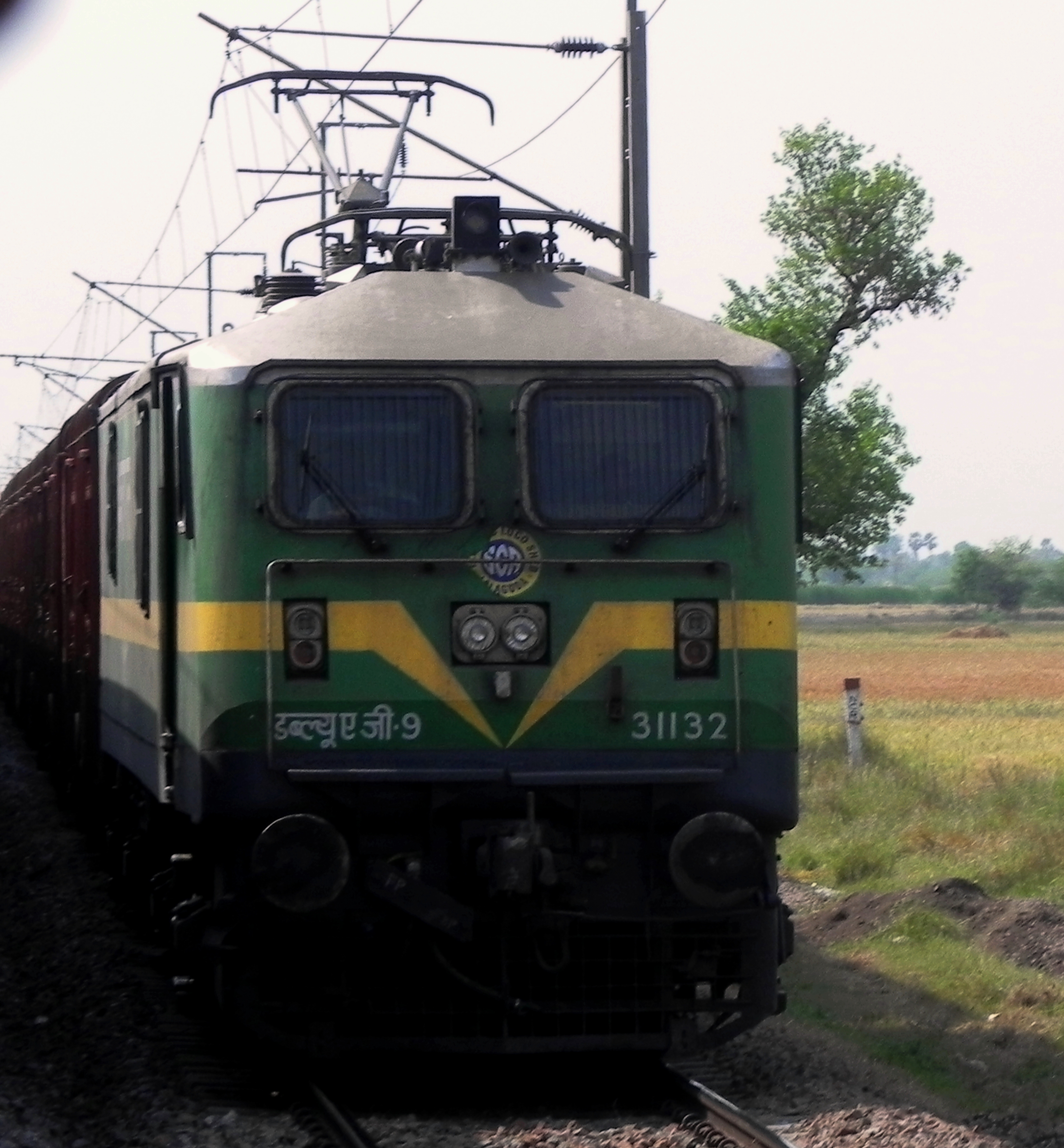
BCNA freight rake
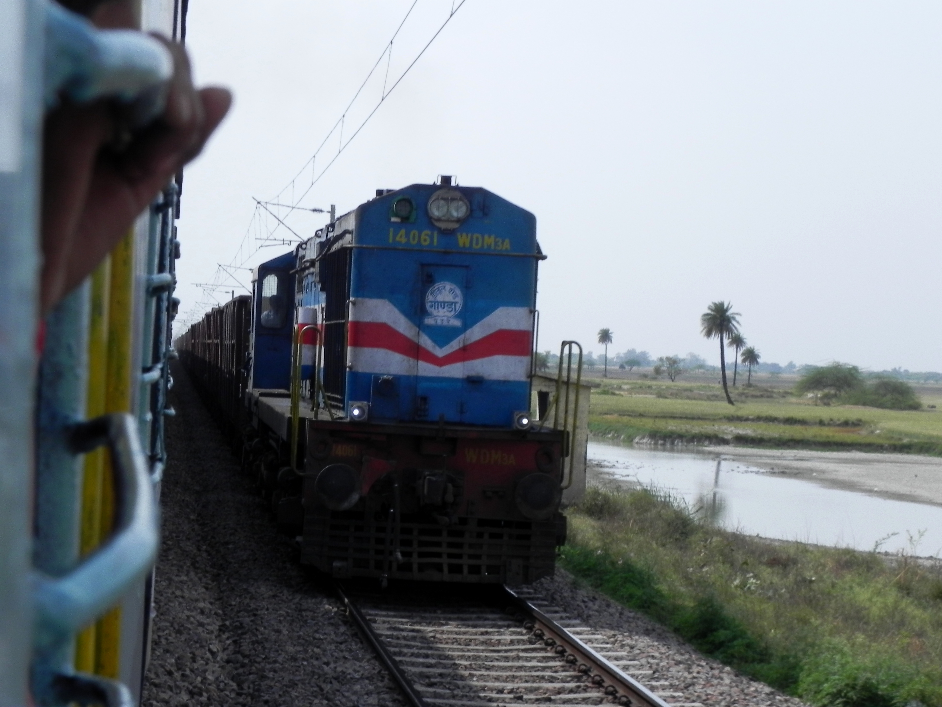
BOXN freight rake
Topographic Map of Derapur, Uttar Pradesh, India
Find elevation by address:

Places near Derapur, Uttar Pradesh, India:
Kanpur Dehat
Sandalpur
Jhinjhak
Akbarpur
Rasulabad
Auraiya
Kalpi
Chaubepur
Auraiya
Shivarajpur
Jalaun
Shivrajpur
Orai
Hamirpur
Bhind
Moth
Jhansi
Recent Searches:
- Elevation of Corso Fratelli Cairoli, 35, Macerata MC, Italy
- Elevation of Tallevast Rd, Sarasota, FL, USA
- Elevation of 4th St E, Sonoma, CA, USA
- Elevation of Black Hollow Rd, Pennsdale, PA, USA
- Elevation of Oakland Ave, Williamsport, PA, USA
- Elevation of Pedrógão Grande, Portugal
- Elevation of Klee Dr, Martinsburg, WV, USA
- Elevation of Via Roma, Pieranica CR, Italy
- Elevation of Tavkvetili Mountain, Georgia
- Elevation of Hartfords Bluff Cir, Mt Pleasant, SC, USA