Elevation of Rarden Township, OH, USA
Location: United States > Ohio > Scioto County >
Longitude: -83.229186
Latitude: 38.9373861
Elevation: 347m / 1138feet
Barometric Pressure: 97KPa
Elevation Map:
Satellite Map:
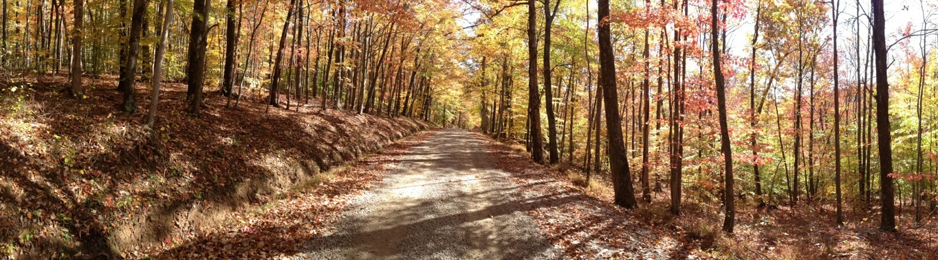
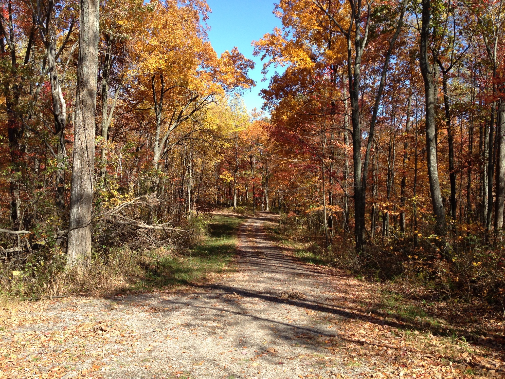
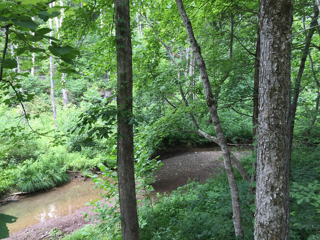
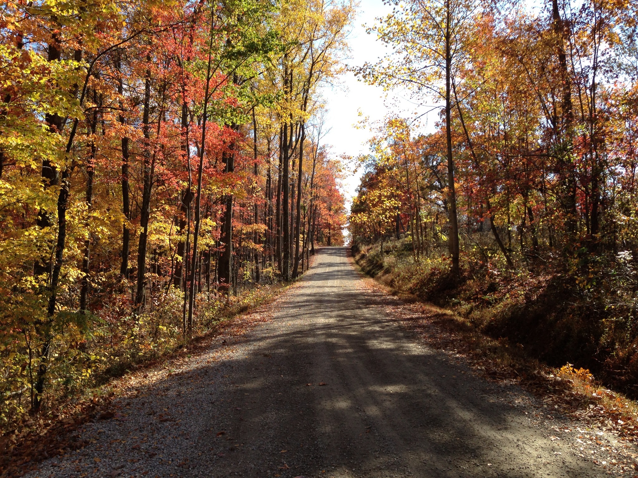
Related Photos:
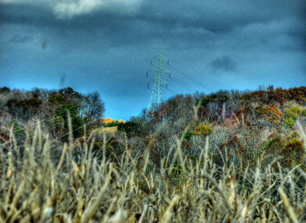
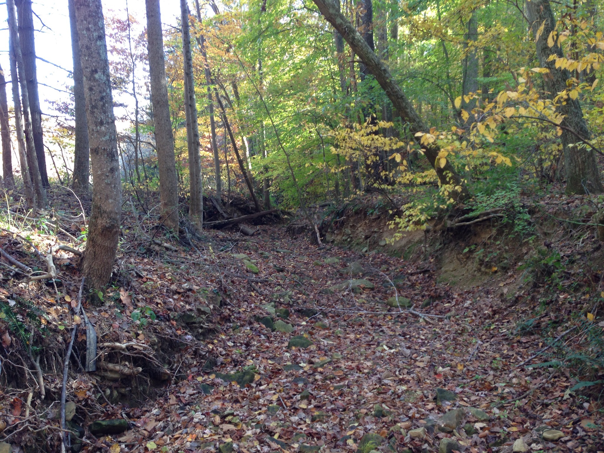
View from Chenoweth Fork Valley
My Photo Stream-949
My Photo Stream-956
My Photo Stream-980
My Photo Stream-950
My Photo Stream-945
Davis State Memorial
My Photo Stream-946
My Photo Stream-971
My Photo Stream-981
My Photo Stream-961
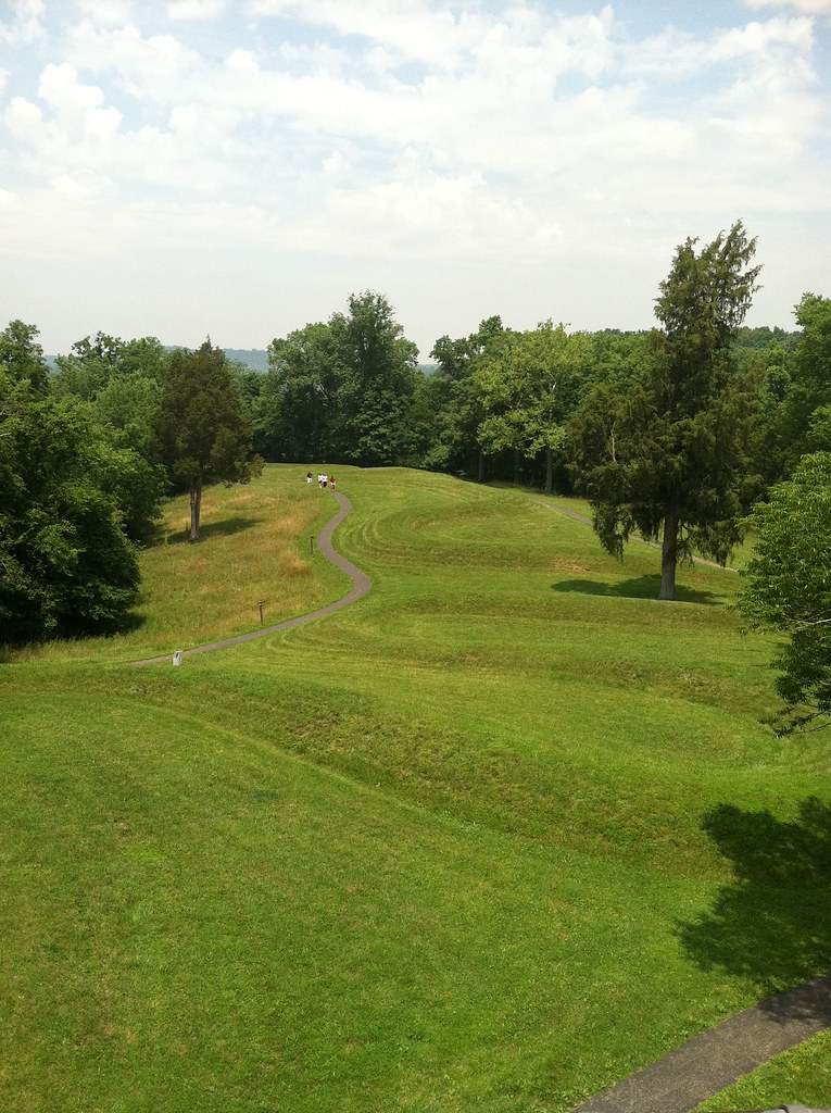
The Serpent Mount

Walking along the mound
My Photo Stream-962
Davis State Memorial
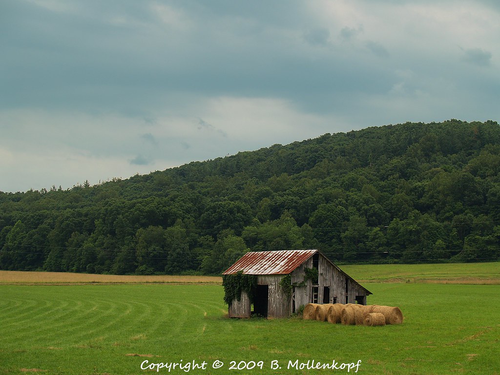
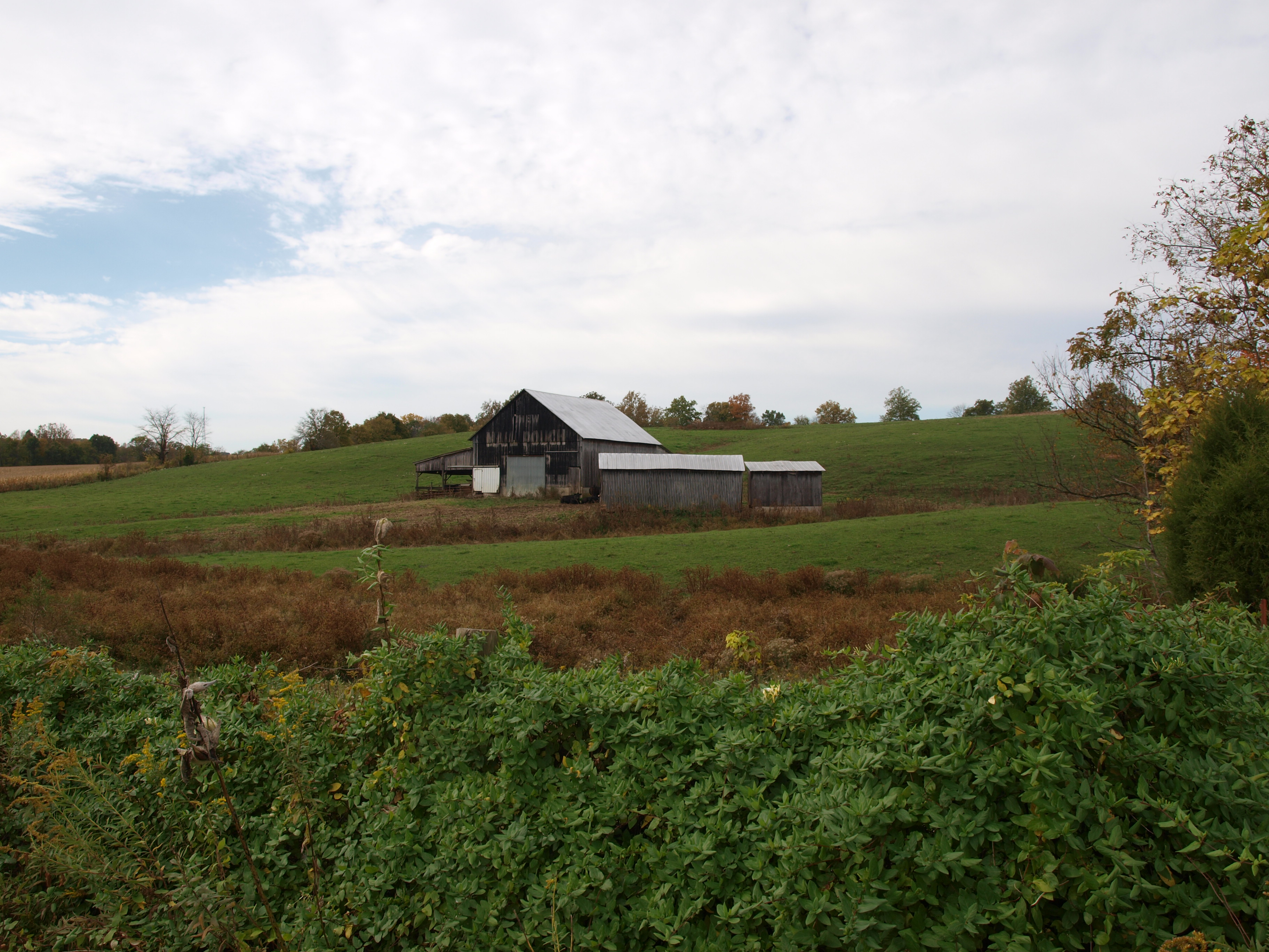
Barn & Hay
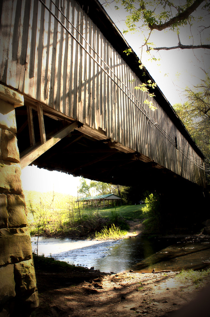
Wooden Covered Bridge; Otway, Ohio
MPB 35-01-09, Adams County, Ohio
Topographic Map of Rarden Township, OH, USA
Find elevation by address:

Places in Rarden Township, OH, USA:
Places near Rarden Township, OH, USA:
Rarden
1203 Hackworth Hill Rd
Bear Creek Rarden Rd, Otway, OH, USA
3002 Mt Hope Rd
1081 Smith Rd
1010 Salyers Rd
Otway
Walnut St, West Portsmouth, OH, USA
2924 Union Hill Rd
Brush Creek Township
Ohio 348 & Henley-comstock Road
Franklin Township
Camp Creek Township
Camp Creek Road
9105 Oh-781
2705 Henley-deemer Rd
Morgan Township
7414 Big Bear Creek Rd
Bear Creek
9906 Big Bear Creek Rd
Recent Searches:
- Elevation of Corso Fratelli Cairoli, 35, Macerata MC, Italy
- Elevation of Tallevast Rd, Sarasota, FL, USA
- Elevation of 4th St E, Sonoma, CA, USA
- Elevation of Black Hollow Rd, Pennsdale, PA, USA
- Elevation of Oakland Ave, Williamsport, PA, USA
- Elevation of Pedrógão Grande, Portugal
- Elevation of Klee Dr, Martinsburg, WV, USA
- Elevation of Via Roma, Pieranica CR, Italy
- Elevation of Tavkvetili Mountain, Georgia
- Elevation of Hartfords Bluff Cir, Mt Pleasant, SC, USA