Elevation of Bear Creek Rarden Rd, Otway, OH, USA
Location: United States > Ohio > Scioto County >
Longitude: -83.1737
Latitude: 38.951
Elevation: 320m / 1050feet
Barometric Pressure: 98KPa
Elevation Map:
Satellite Map:
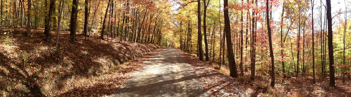
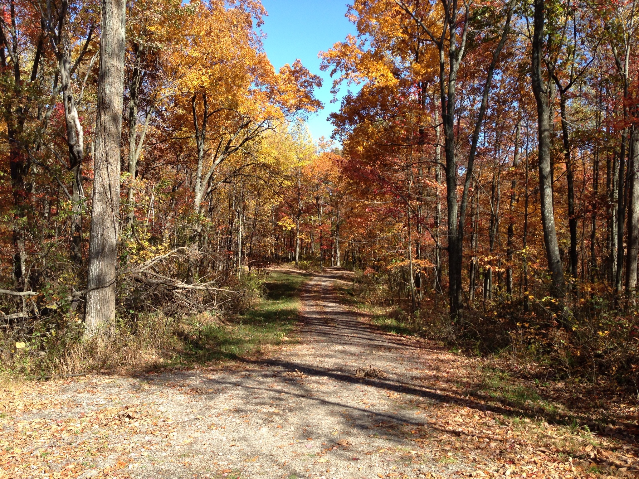
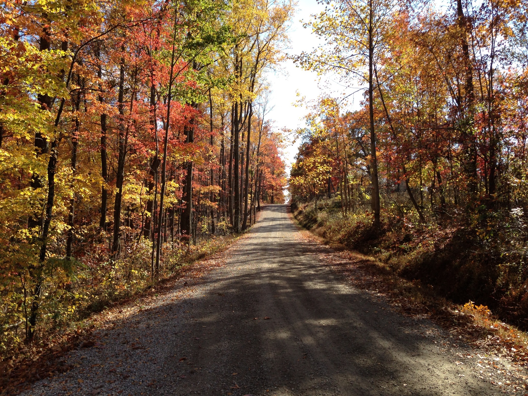
Related Photos:
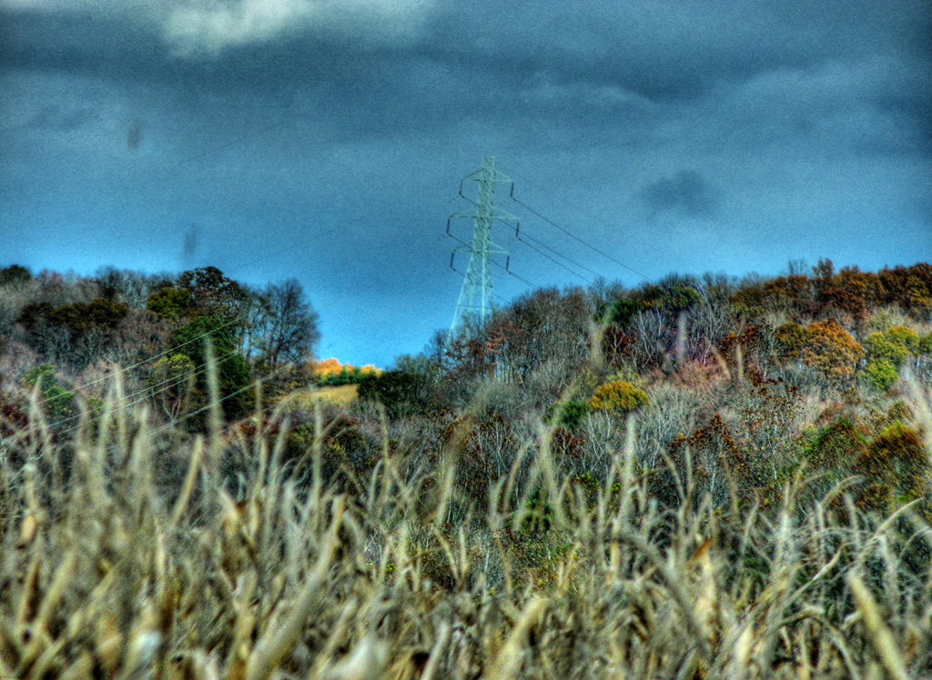
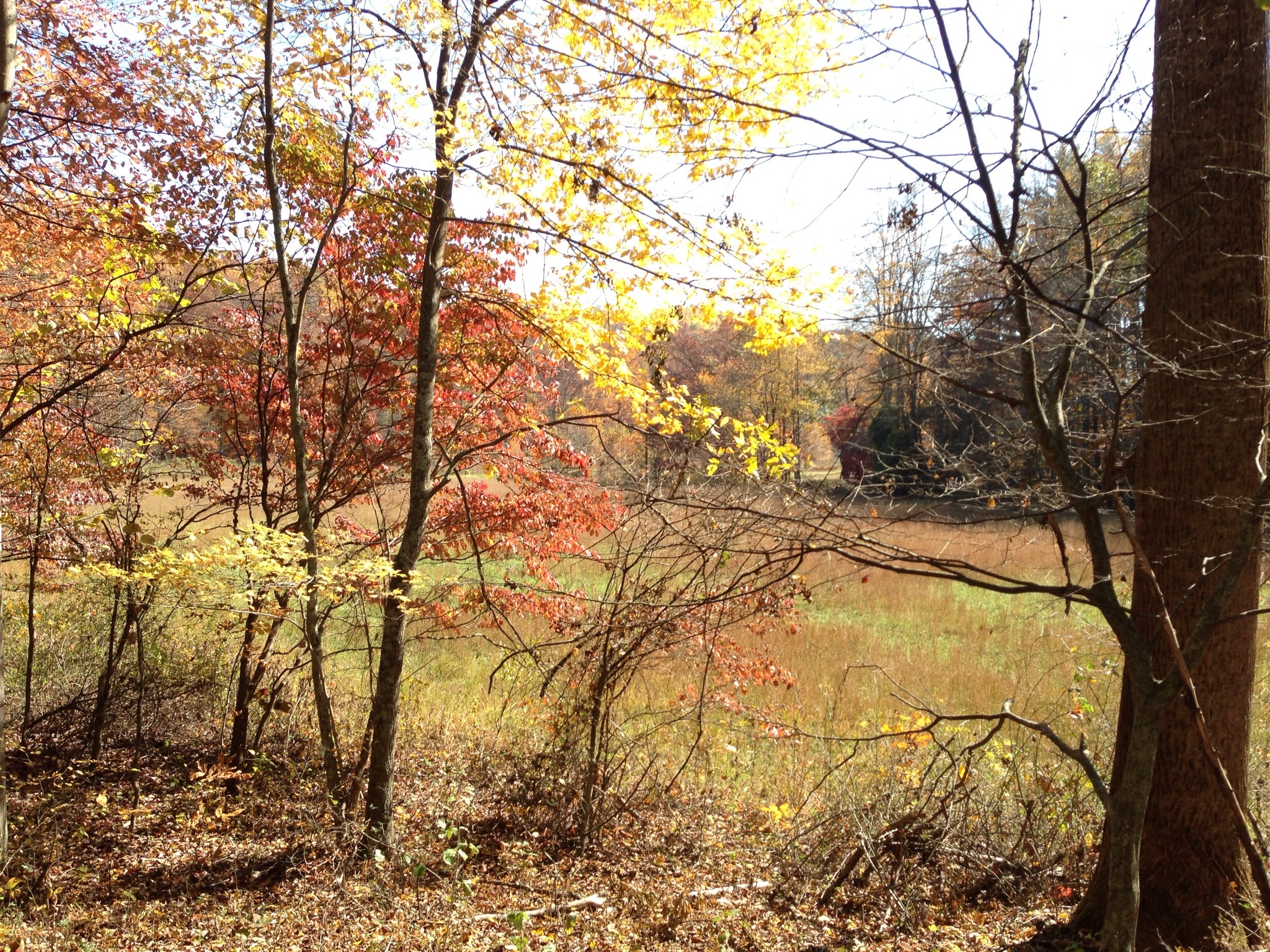
View from Chenoweth Fork Valley
Jones-Cutler Historic House

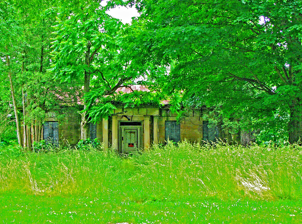
Vacant Stone House-2 (Once the Judge Acord House)
My Photo Stream-949
My Photo Stream-980
My Photo Stream-956
My Photo Stream-950
My Photo Stream-945
My Photo Stream-946
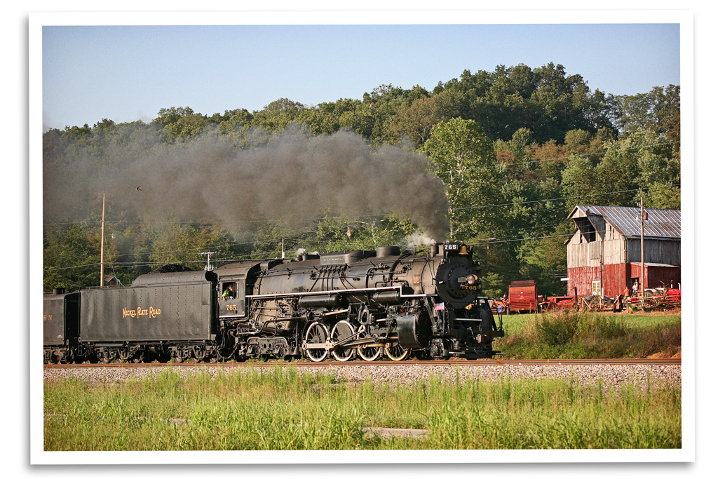
Farm Country
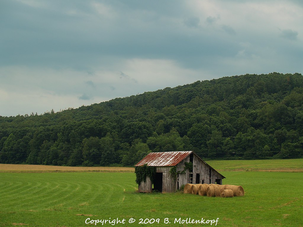
Barn & Hay
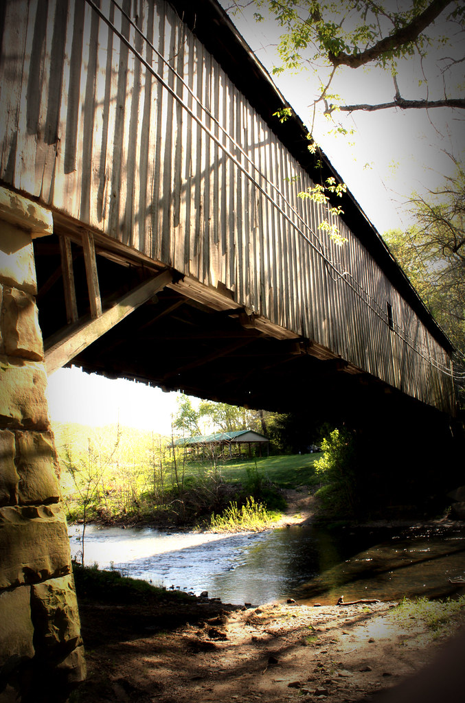
Wooden Covered Bridge; Otway, Ohio
My Photo Stream-961
My Photo Stream-962
Davis State Memorial
Davis State Memorial
My Photo Stream-971
Topographic Map of Bear Creek Rarden Rd, Otway, OH, USA
Find elevation by address:

Places near Bear Creek Rarden Rd, Otway, OH, USA:
3002 Mt Hope Rd
1203 Hackworth Hill Rd
Camp Creek Township
1010 Salyers Rd
Camp Creek Road
Rarden Township
Ohio 348 & Henley-comstock Road
Rarden
Otway
Walnut St, West Portsmouth, OH, USA
Morgan Township
7414 Big Bear Creek Rd
2705 Henley-deemer Rd
Bear Creek
2924 Union Hill Rd
Brush Creek Township
1081 Smith Rd
9906 Big Bear Creek Rd
14412 Oh-104
Franklin Township
Recent Searches:
- Elevation of Corso Fratelli Cairoli, 35, Macerata MC, Italy
- Elevation of Tallevast Rd, Sarasota, FL, USA
- Elevation of 4th St E, Sonoma, CA, USA
- Elevation of Black Hollow Rd, Pennsdale, PA, USA
- Elevation of Oakland Ave, Williamsport, PA, USA
- Elevation of Pedrógão Grande, Portugal
- Elevation of Klee Dr, Martinsburg, WV, USA
- Elevation of Via Roma, Pieranica CR, Italy
- Elevation of Tavkvetili Mountain, Georgia
- Elevation of Hartfords Bluff Cir, Mt Pleasant, SC, USA