Elevation of Rangitaiki, New Zealand
Location: New Zealand > Bay Of Plenty >
Longitude: 176.412635
Latitude: -38.891890
Elevation: 737m / 2418feet
Barometric Pressure: 93KPa
Elevation Map:
Satellite Map:
Related Photos:

Waipunga Falls

Waipunga Falls

Waipunga Falls

Waipunga Falls - On the Napier/Taupo Highway - New Zealand
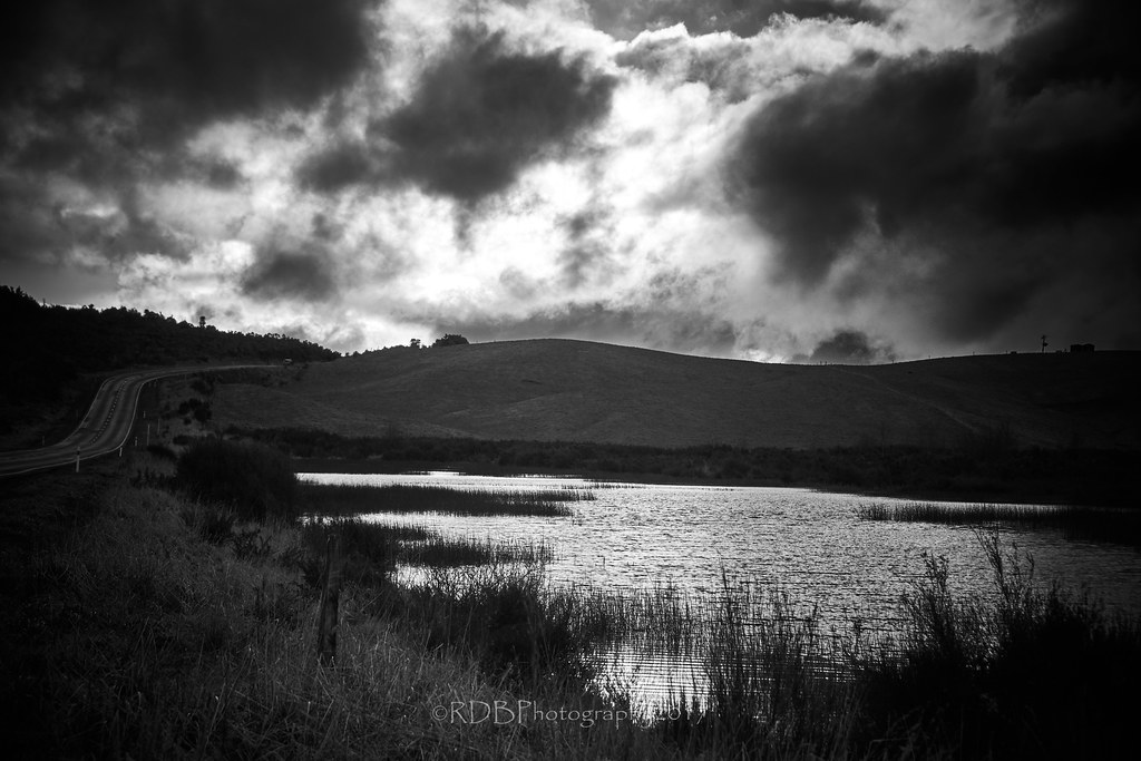
Sunset on the Water 2

Waipunga Falls

Sunset on the Water 3

Waipunga Falls 5

Waipunga Falls

Waipunga Falls

Waipunga Falls

Waipunga Falls

Waipunga Falls

Waipunga Falls

Waipunga Falls

Waipunga Falls

Waipunga Falls 3

Waipunga Falls

Waipunga Falls 1

Waipunga Falls

Waipunga Falls
Topographic Map of Rangitaiki, New Zealand
Find elevation by address:

Places near Rangitaiki, New Zealand:
White Road
White Road
Taupo District
Broadlands
42 Kiddle Dr
4054 State Highway 5
Hilltop
Hawke's Bay
Taupo
Nukuhau
17 Sedge Grove
Acacia Bay
9 Cameron Drive
Bulli Point
36 Blueridge Drive
Lake Taupo
Te Rangiita
Wai-o-tapu
Waiotaka Valley
Turangi
Recent Searches:
- Elevation of Corso Fratelli Cairoli, 35, Macerata MC, Italy
- Elevation of Tallevast Rd, Sarasota, FL, USA
- Elevation of 4th St E, Sonoma, CA, USA
- Elevation of Black Hollow Rd, Pennsdale, PA, USA
- Elevation of Oakland Ave, Williamsport, PA, USA
- Elevation of Pedrógão Grande, Portugal
- Elevation of Klee Dr, Martinsburg, WV, USA
- Elevation of Via Roma, Pieranica CR, Italy
- Elevation of Tavkvetili Mountain, Georgia
- Elevation of Hartfords Bluff Cir, Mt Pleasant, SC, USA