Elevation map of Hawke's Bay, New Zealand
Location: New Zealand >
Longitude: 176.741637
Latitude: -39.108986
Elevation: 638m / 2093feet
Barometric Pressure: 94KPa
Elevation Map:
Satellite Map:
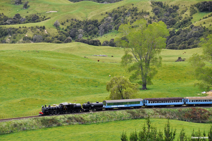
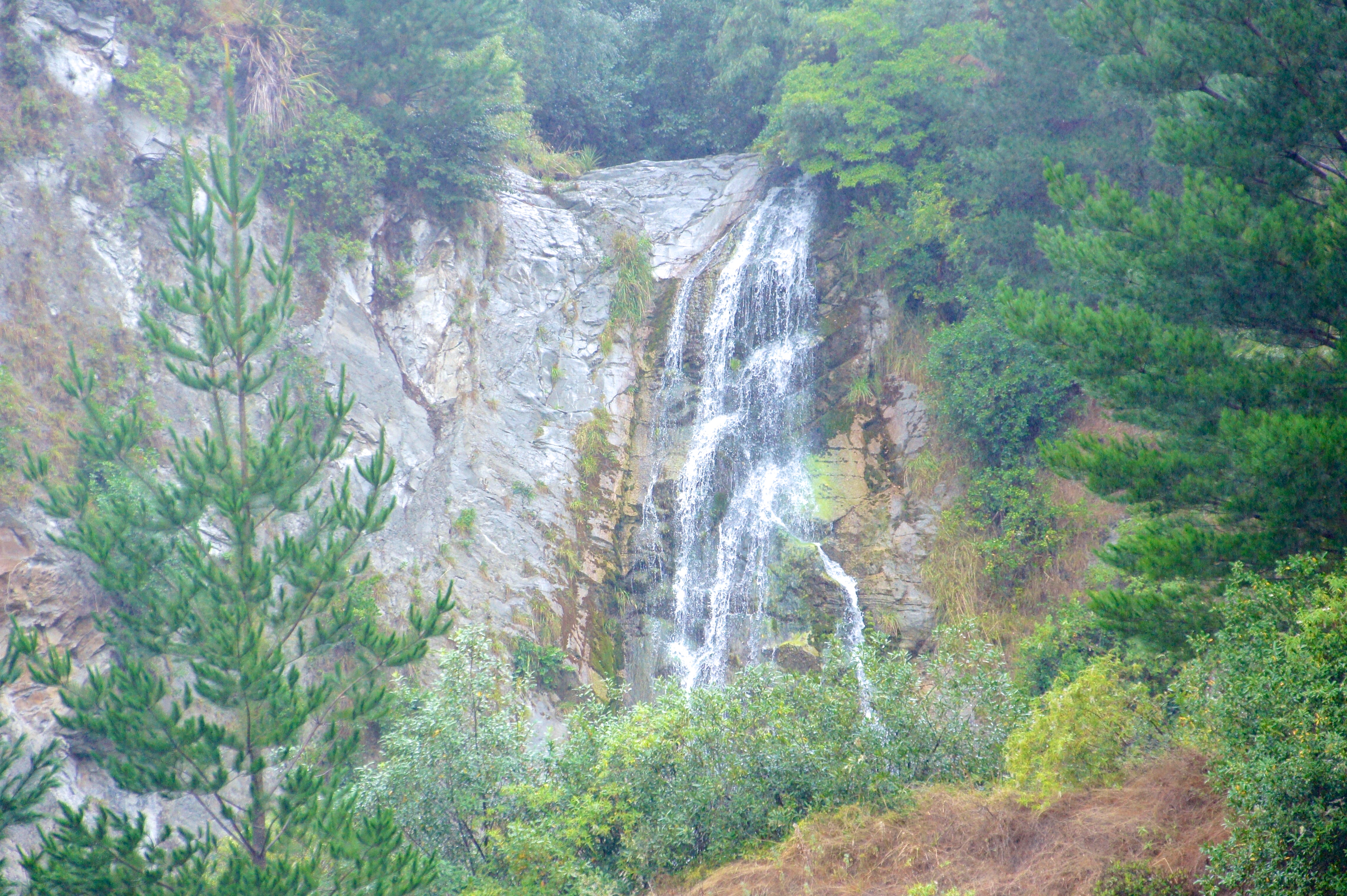
Related Photos:

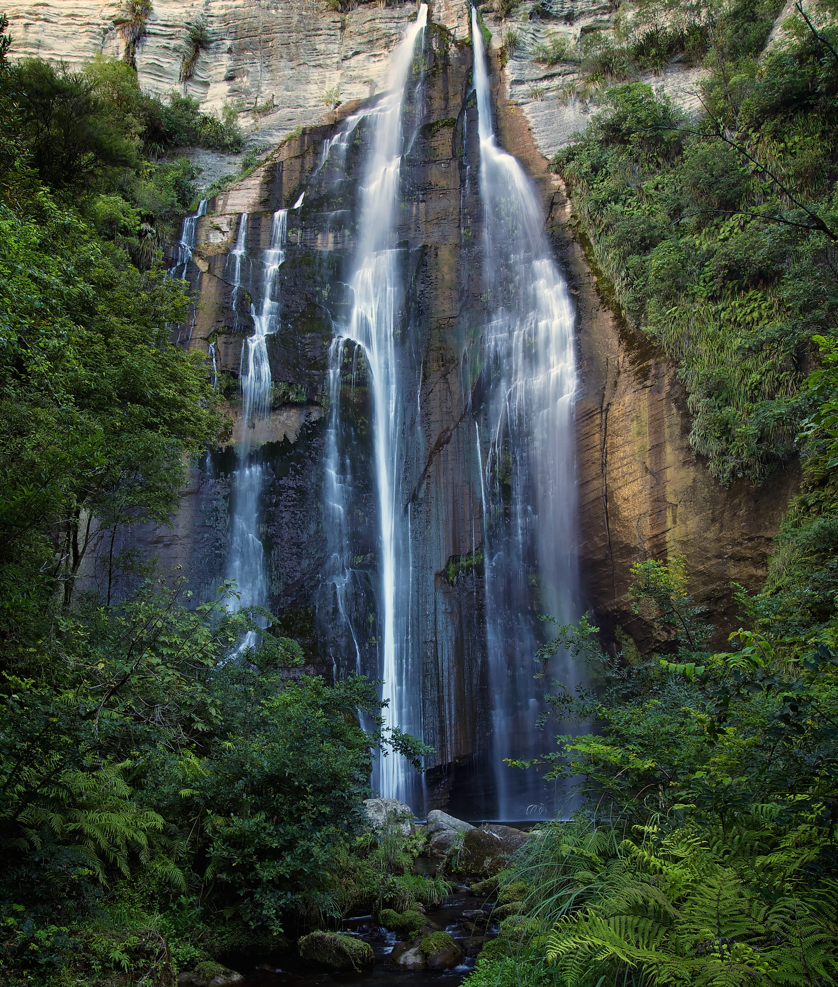
Bottom of Shine Waterfalls (58m), Hawkes Bay, NZ - 7/8/16
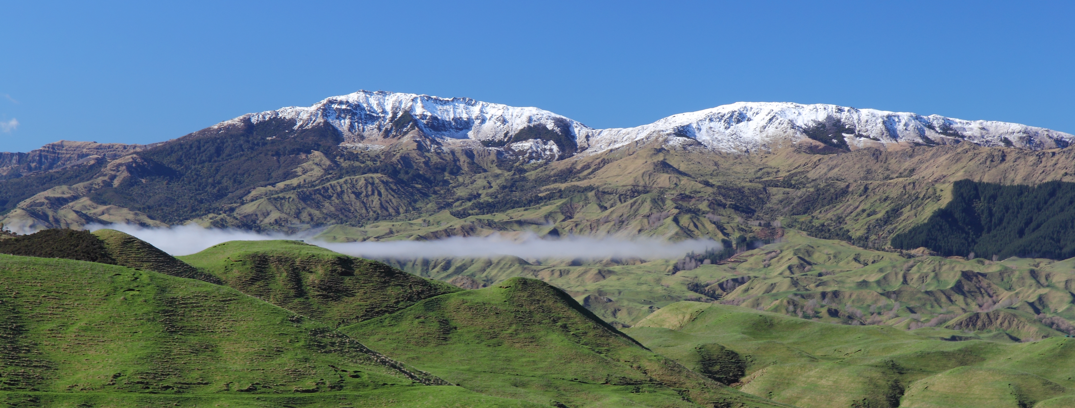
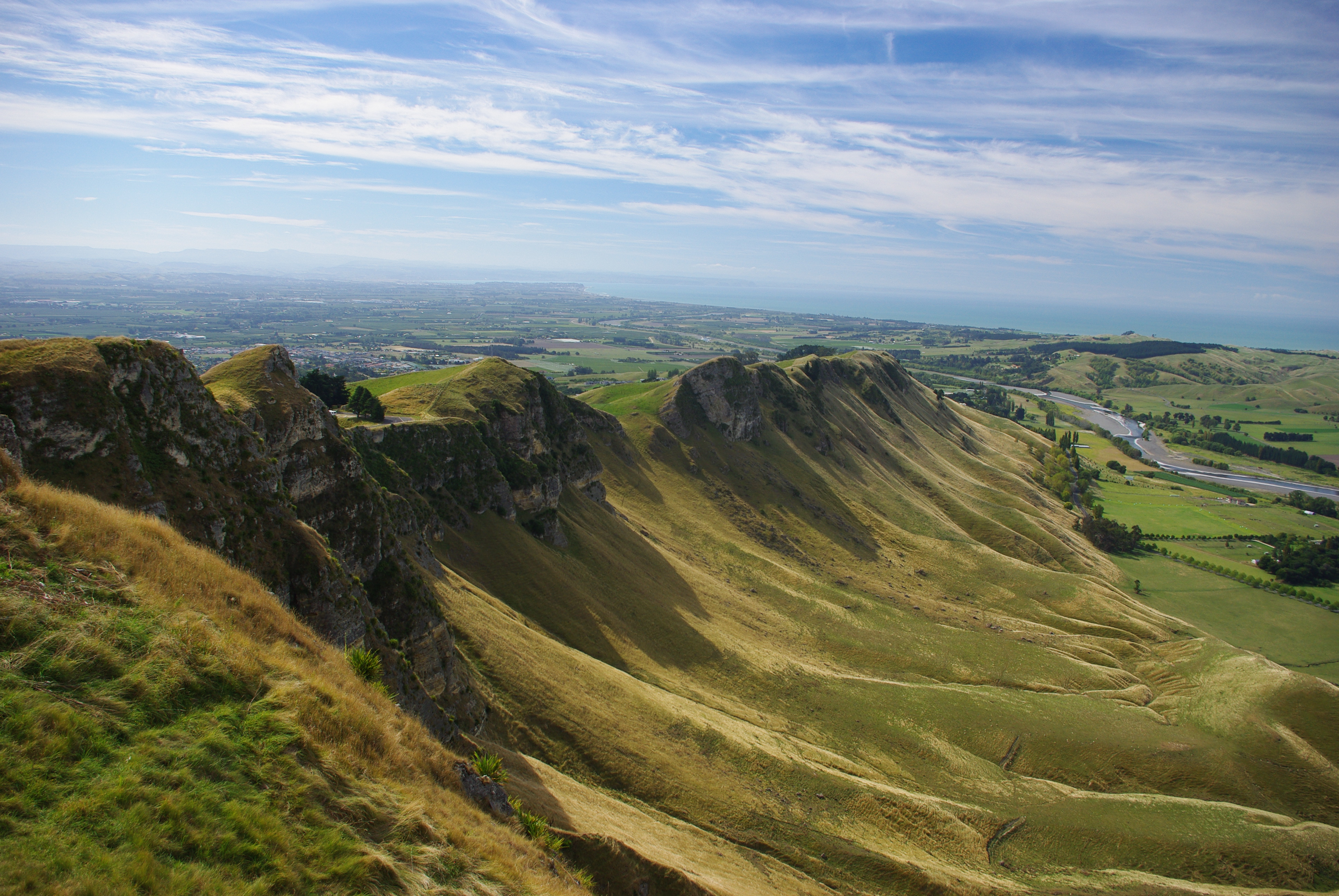
Taraponui and Ahuateatua, Maungaharuru Range

Yet Another Rest Area

Yet Another Rest Area
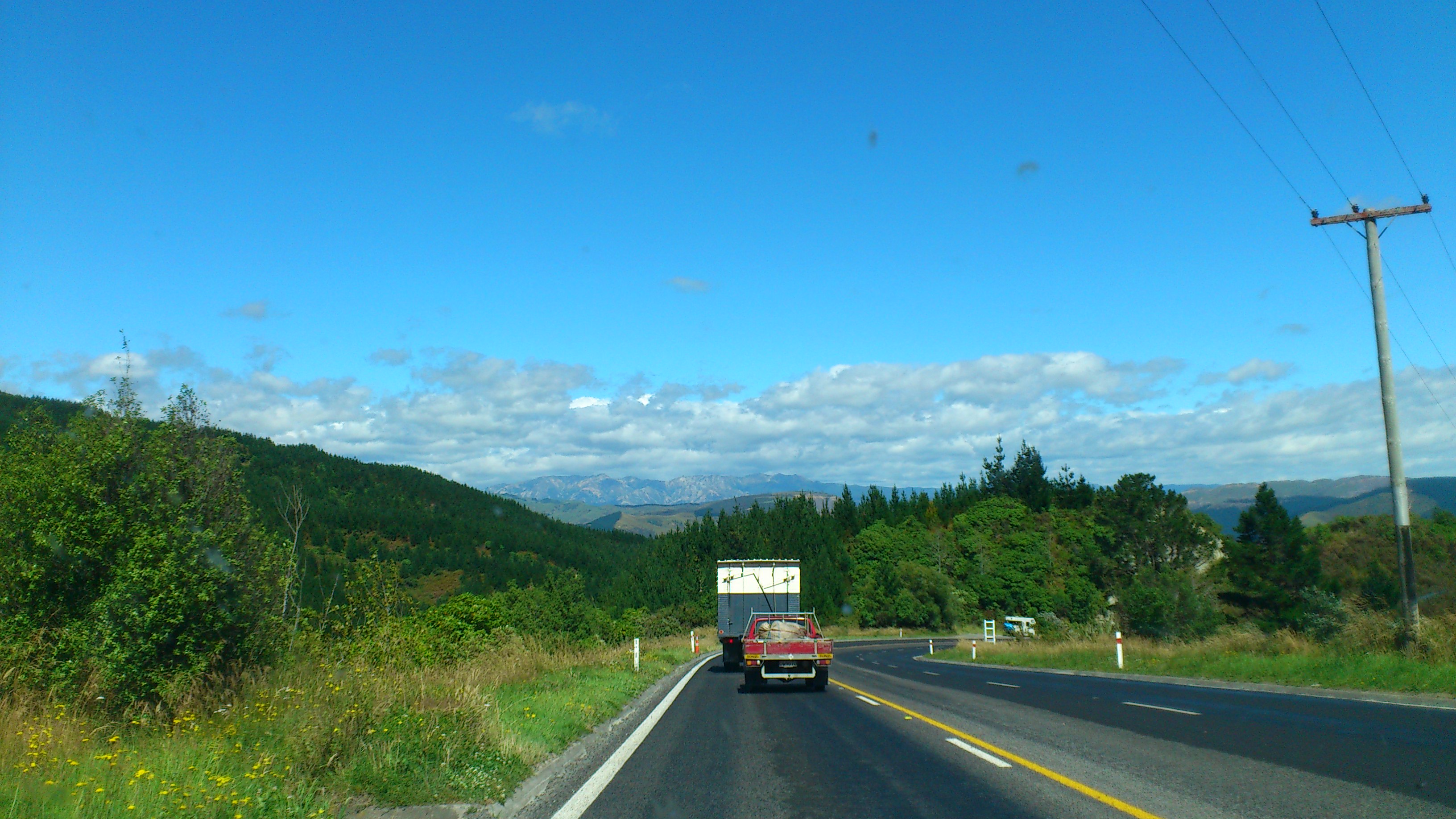
NZ roads have nice views
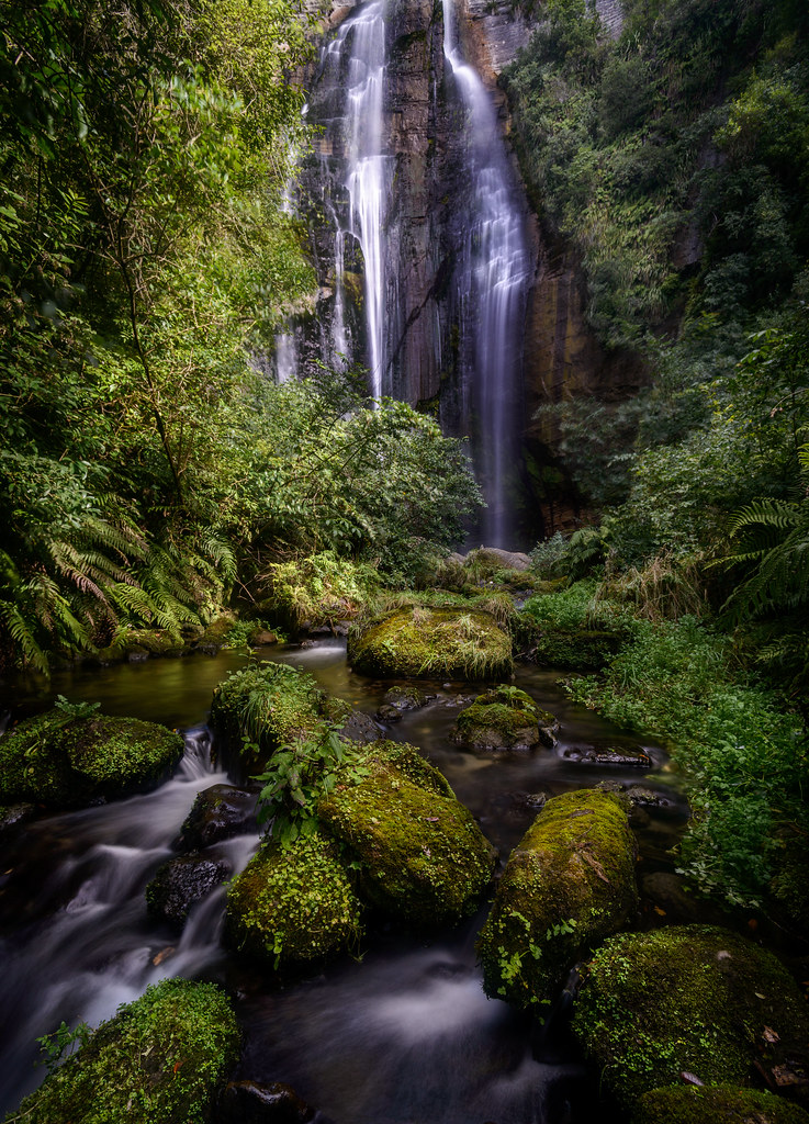
The Shining

Shine Falls, Hawkes Bay, New Zealand
Waikoau Curves 4
Shine Falls
Under the Shine
Te Mata Peak Hawkes Bay

singapur-australien-neuseeland-101
singapur-australien-neuseeland-100

Shine Falls Pt II
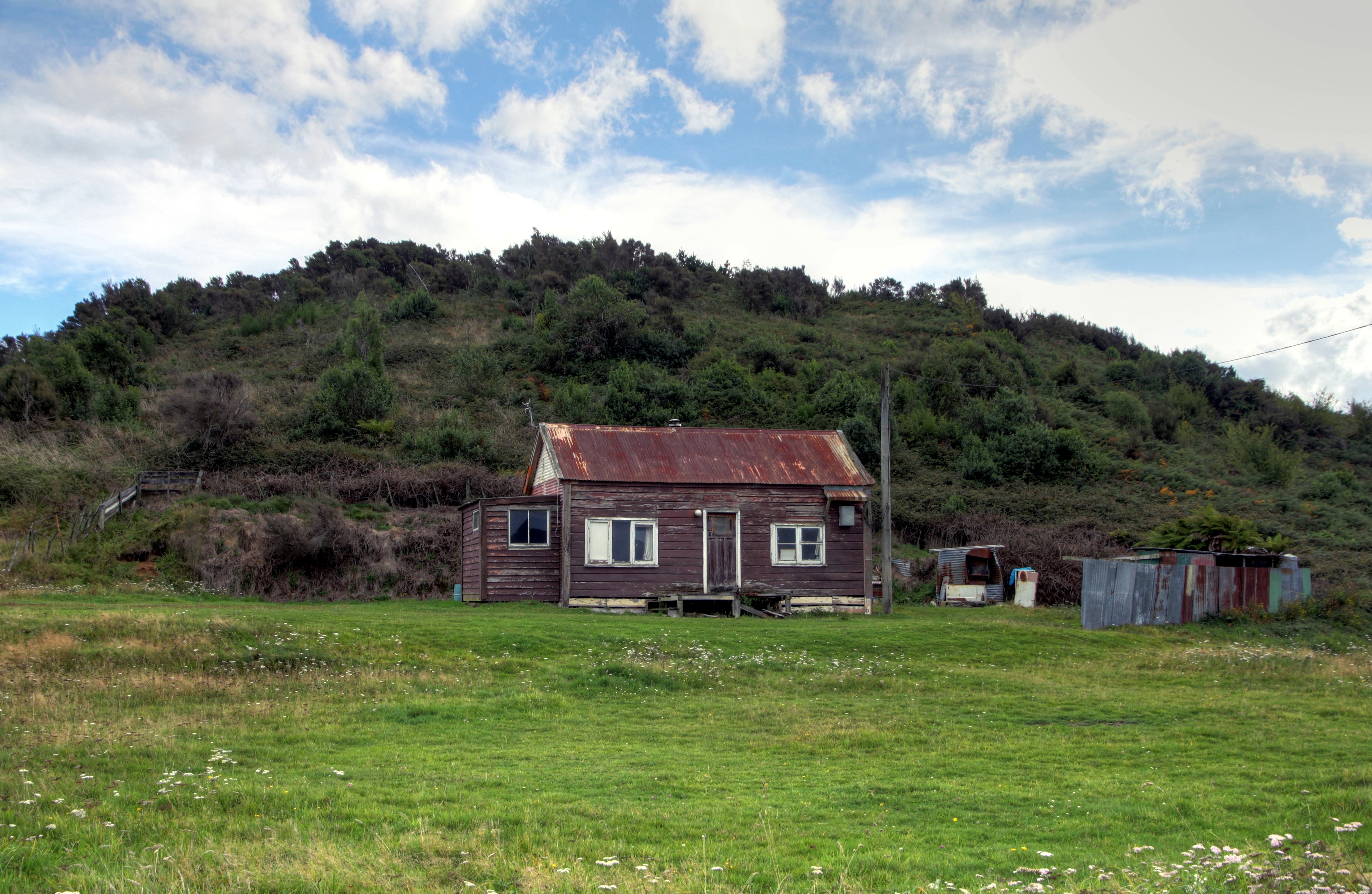
Old house, Te Haroto, Hawkes Bay, New Zealand
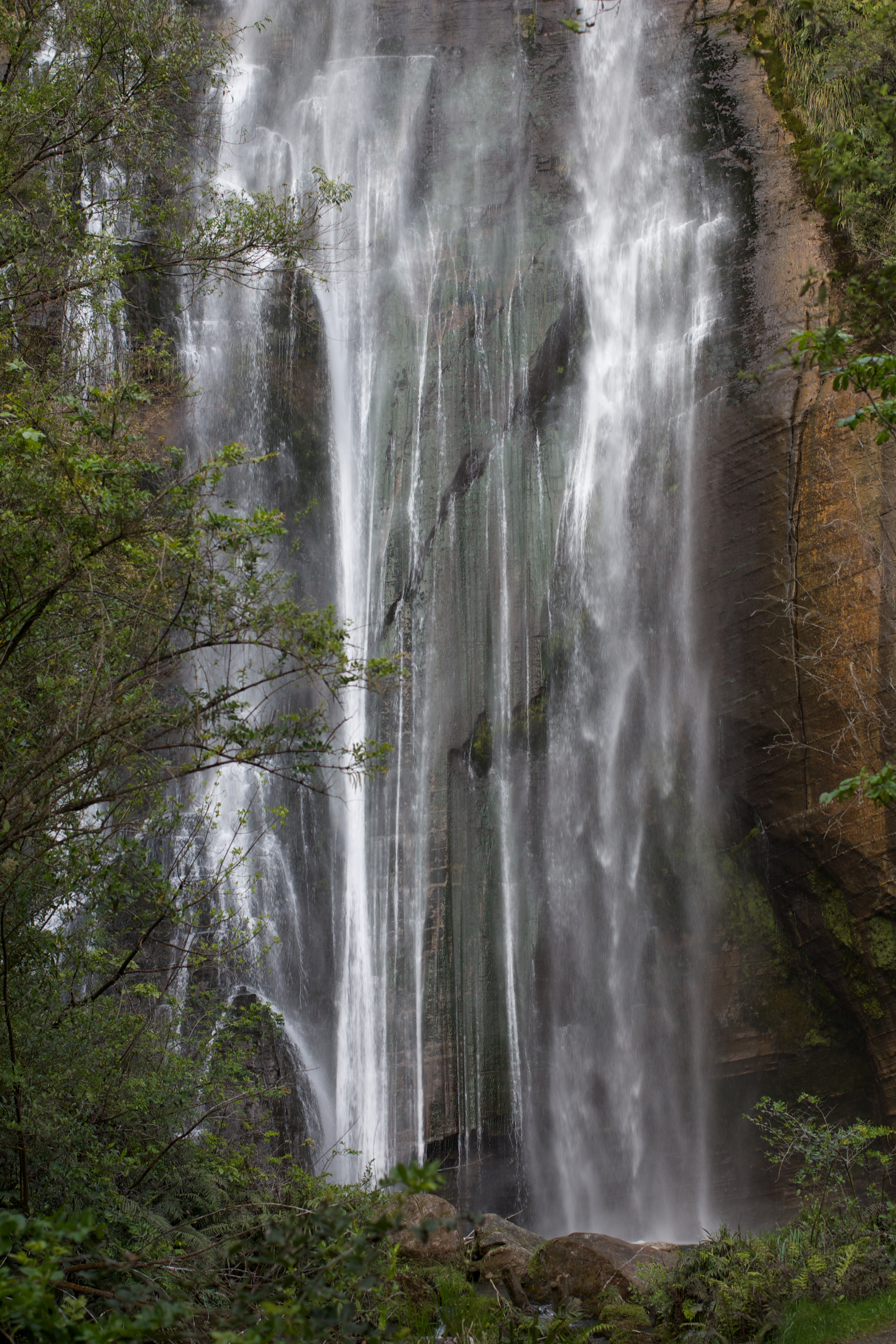
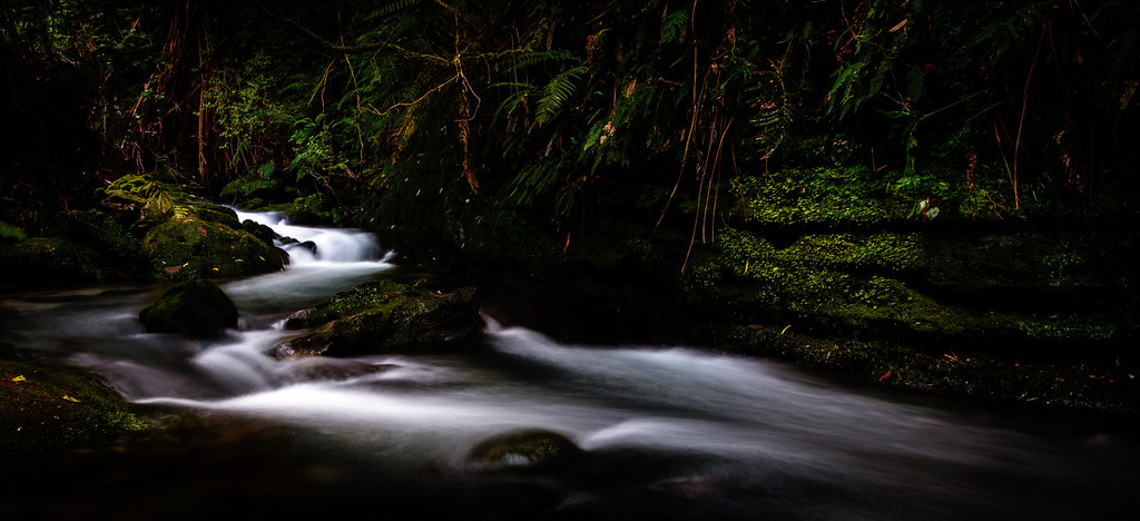
shine falls
Waikoau Curves 2

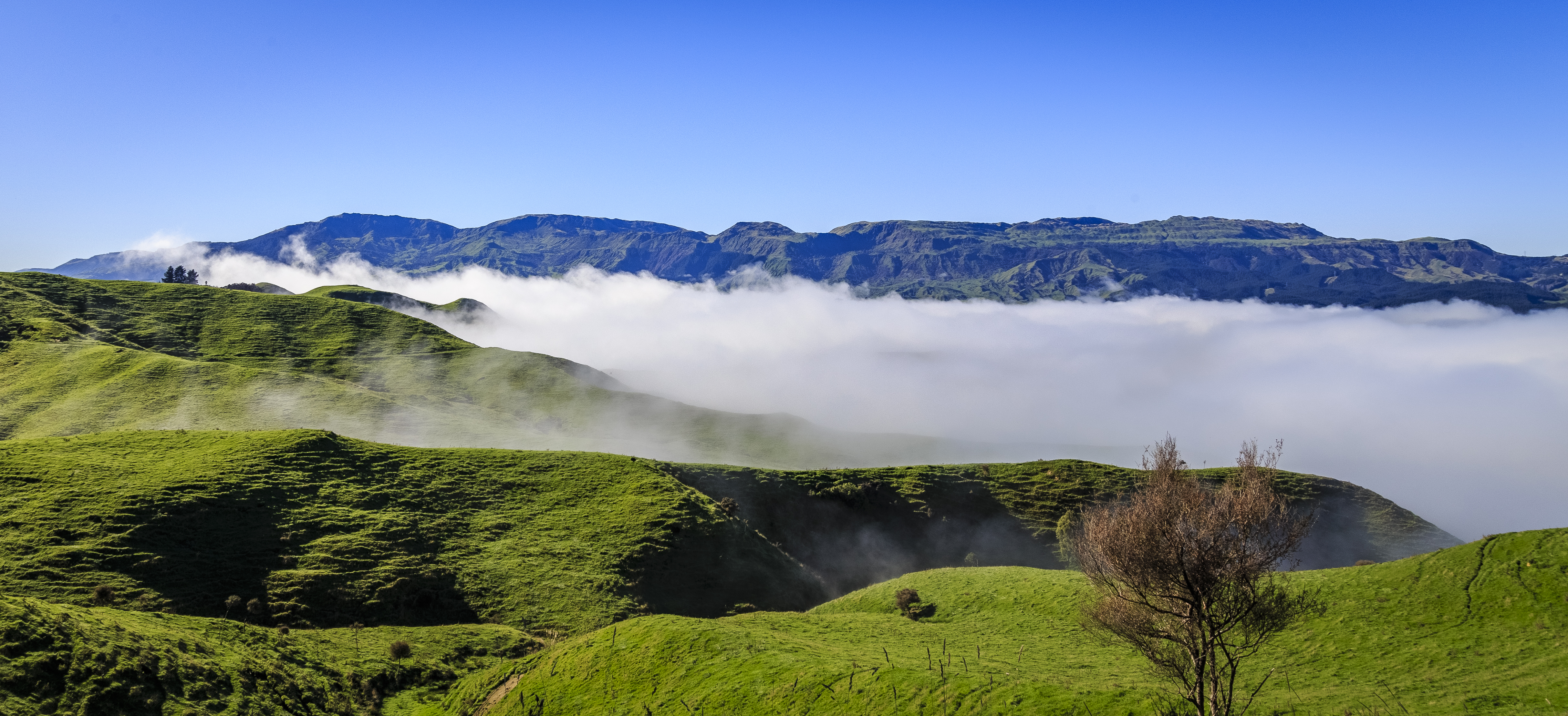
Bell Rock and Taraponui, Maungaharuru Range
More Curves Again

Waikoau Curves 3
Waikoau Curves 6
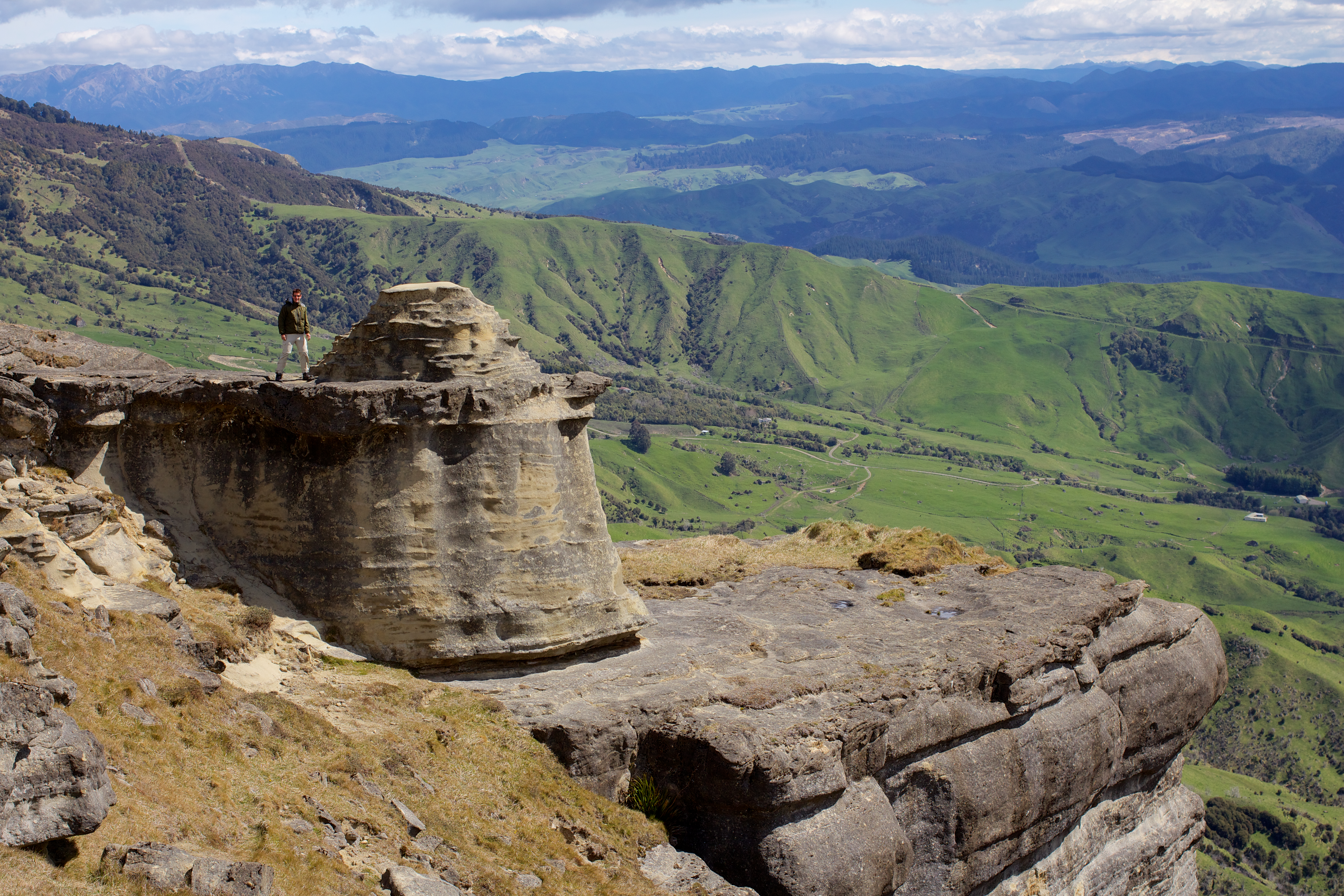
me on bell rock
MacVicar Falls

Waikoau Curves 4
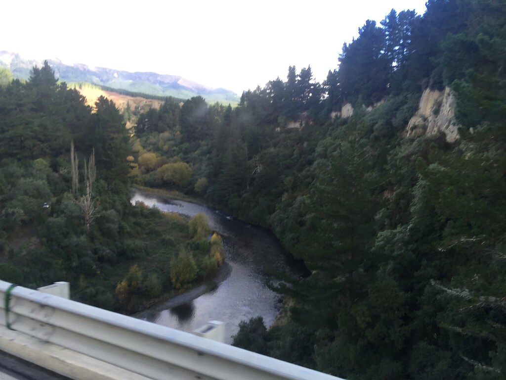
Deep gorge on the Napier-Taupo Road
Topographic Map of Hawke's Bay, New Zealand
Find elevation by address:

Places in Hawke's Bay, New Zealand:
Places near Hawke's Bay, New Zealand:
4054 State Highway 5
Rangitaiki
Lake Waikaremoana
White Road
White Road
Broadlands
Taupo District
42 Kiddle Dr
Hilltop
Taupo
Bulli Point
Nukuhau
17 Sedge Grove
Acacia Bay
9 Cameron Drive
36 Blueridge Drive
Wai-o-tapu
Te Rangiita
Lake Taupo
Waiotaka Valley
Recent Searches:
- Elevation of Corso Fratelli Cairoli, 35, Macerata MC, Italy
- Elevation of Tallevast Rd, Sarasota, FL, USA
- Elevation of 4th St E, Sonoma, CA, USA
- Elevation of Black Hollow Rd, Pennsdale, PA, USA
- Elevation of Oakland Ave, Williamsport, PA, USA
- Elevation of Pedrógão Grande, Portugal
- Elevation of Klee Dr, Martinsburg, WV, USA
- Elevation of Via Roma, Pieranica CR, Italy
- Elevation of Tavkvetili Mountain, Georgia
- Elevation of Hartfords Bluff Cir, Mt Pleasant, SC, USA