Elevation of Randolph, TX, USA
Location: United States > Texas > Fannin County >
Longitude: -96.252479
Latitude: 33.4839968
Elevation: 204m / 669feet
Barometric Pressure: 99KPa
Elevation Map:
Satellite Map:
Related Photos:

Bonham TX George Barber Queen Anne cottage
Bonham TX side view 1888-89 Clendenen House
Sam Rayburn House Back, Bonham, Texas
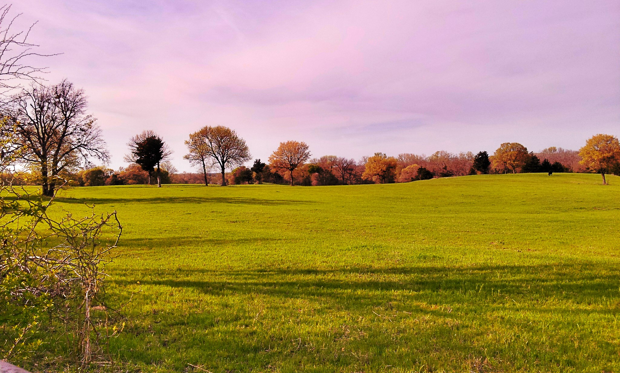
View from the highest point in Bonham!
The L&N Don't Stop Here Anymore

Around Ranch
Around Ranch

Sunset over Bonham SP Lake - Explore

Winter wheat is ready to harvest! Beautiful golden field!

Bonham State Park
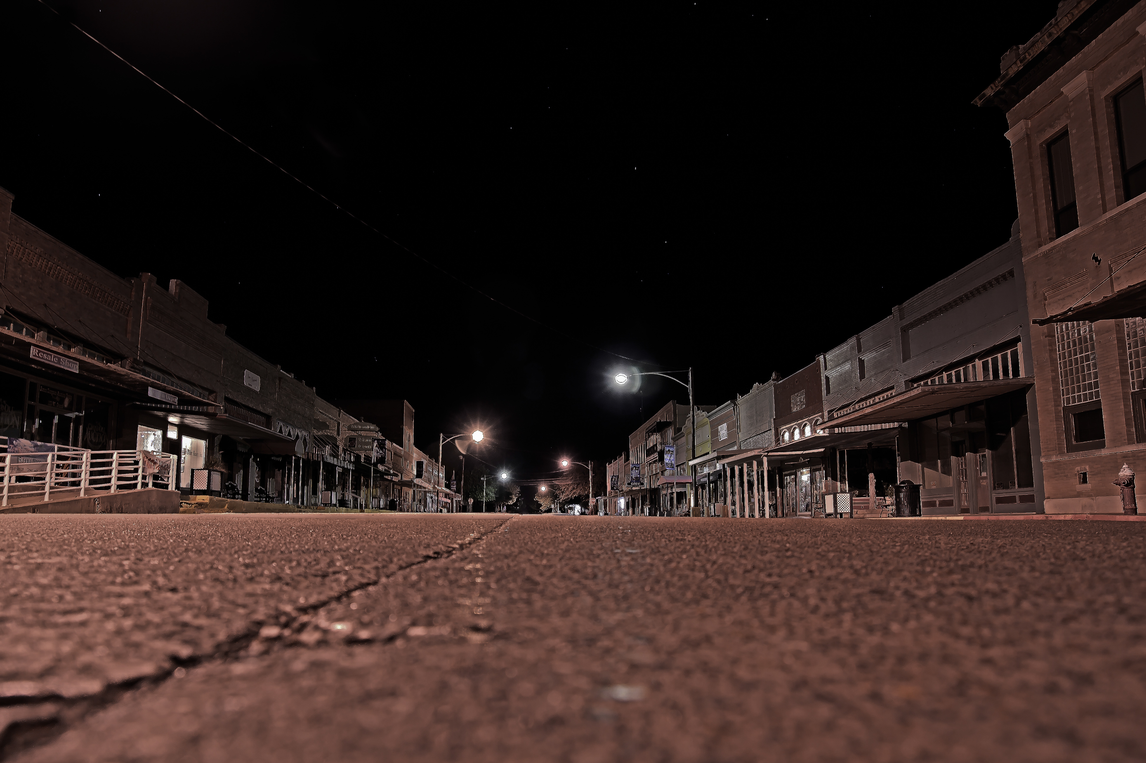
Whitewright HDR

Sunflowers blooming!!

Sunflowers at sunrise.

Sunflowers blooming!!
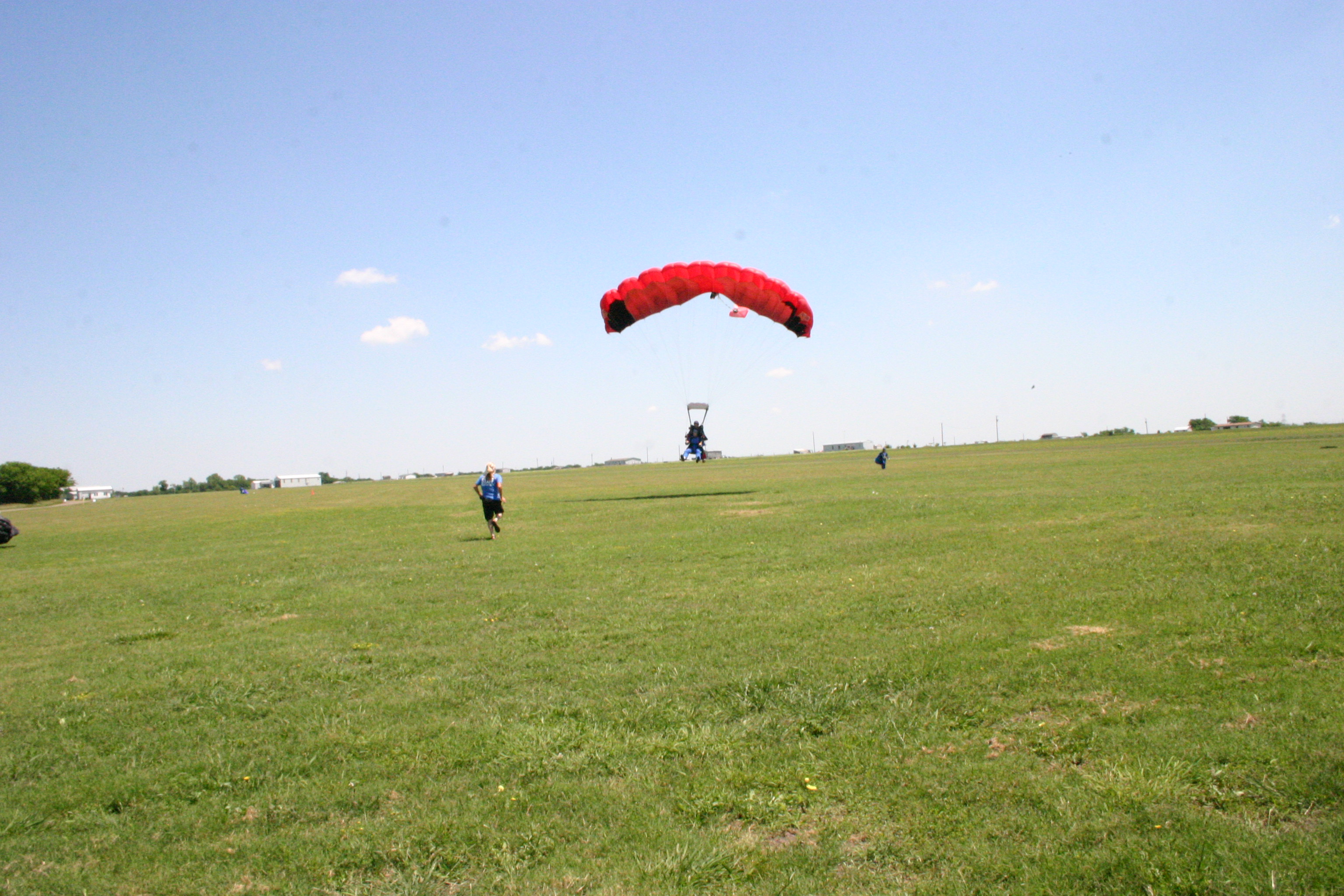
Jared_Skydive (25)
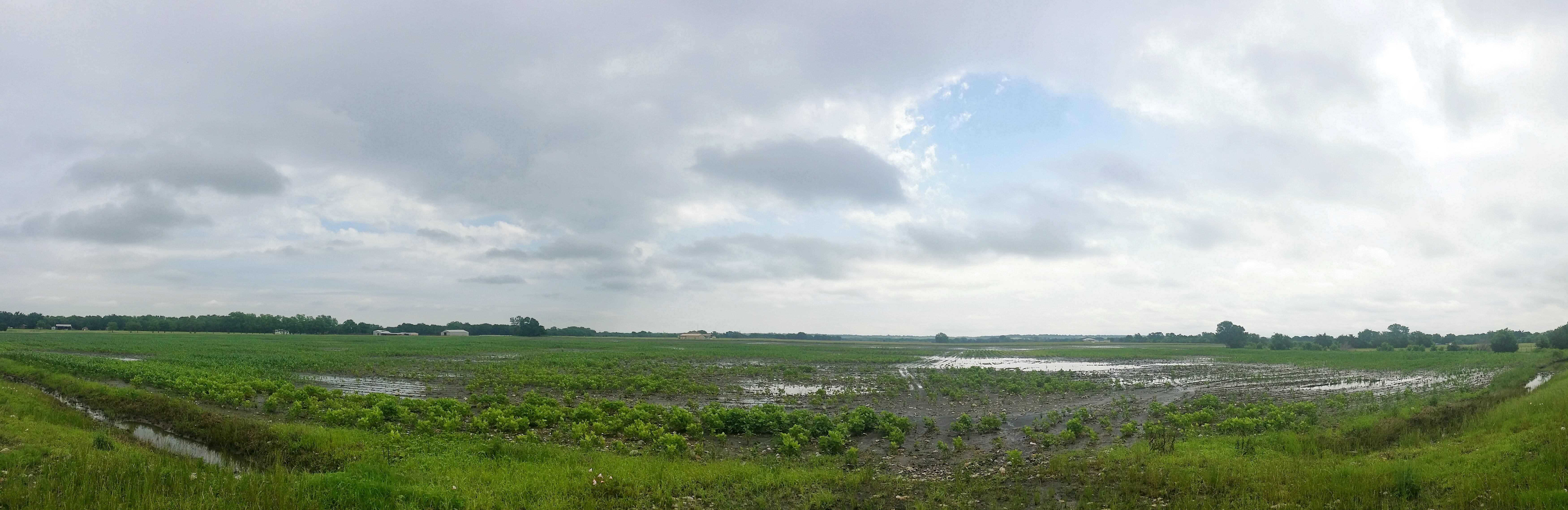
A flooded field near Leonard, TX

Around Ranch
Topographic Map of Randolph, TX, USA
Find elevation by address:

Places in Randolph, TX, USA:
Places near Randolph, TX, USA:
Fm S, Bonham, TX, USA
Cr, Randolph, TX, USA
945 Co Rd 4620
2937 Fm151
1001 N Parmele St
Ector
Bailey
Trenton
Leonard
964 Fm898
833 W Sam Rayburn Dr
418 Co Rd 1535
Bonham
Fannin County
1206 Park Ave
702 Lusk St
130 Carpenter Loop
Co Rd, Bonham, TX, USA
2228 Island Bayou Rd
Whitewright
Recent Searches:
- Elevation of Corso Fratelli Cairoli, 35, Macerata MC, Italy
- Elevation of Tallevast Rd, Sarasota, FL, USA
- Elevation of 4th St E, Sonoma, CA, USA
- Elevation of Black Hollow Rd, Pennsdale, PA, USA
- Elevation of Oakland Ave, Williamsport, PA, USA
- Elevation of Pedrógão Grande, Portugal
- Elevation of Klee Dr, Martinsburg, WV, USA
- Elevation of Via Roma, Pieranica CR, Italy
- Elevation of Tavkvetili Mountain, Georgia
- Elevation of Hartfords Bluff Cir, Mt Pleasant, SC, USA