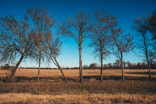
Elevation of Co Rd, Trenton, TX, USA
Location: United States > Texas >
Longitude: -96.303959
Latitude: 33.4201694
Elevation: 225m / 738feet
Barometric Pressure: 99KPa
Related Photos:
Topographic Map of Co Rd, Trenton, TX, USA
Find elevation by address:

Places near Co Rd, Trenton, TX, USA:
Trenton
1001 N Parmele St
2937 Fm151
Leonard
Randolph
FM, Blue Ridge, TX, USA
1105 Red Moore Rd
296 Chestnut Ln
FM, Whitewright, TX, USA
2201 Durham Rd
FM, Leonard, TX, USA
15505 Co Rd 834
Whitewright
Cr, Randolph, TX, USA
Fm S, Bonham, TX, USA
Bailey
8350 County Rd 1216
17344 Us-69
Blue Ridge
FM, Wolfe City, TX, USA
Recent Searches:
- Elevation of Corso Fratelli Cairoli, 35, Macerata MC, Italy
- Elevation of Tallevast Rd, Sarasota, FL, USA
- Elevation of 4th St E, Sonoma, CA, USA
- Elevation of Black Hollow Rd, Pennsdale, PA, USA
- Elevation of Oakland Ave, Williamsport, PA, USA
- Elevation of Pedrógão Grande, Portugal
- Elevation of Klee Dr, Martinsburg, WV, USA
- Elevation of Via Roma, Pieranica CR, Italy
- Elevation of Tavkvetili Mountain, Georgia
- Elevation of Hartfords Bluff Cir, Mt Pleasant, SC, USA


