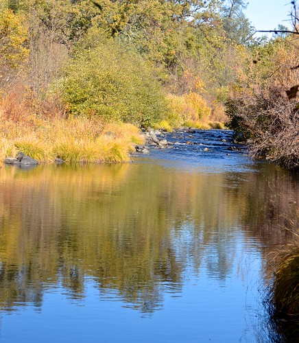
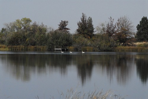
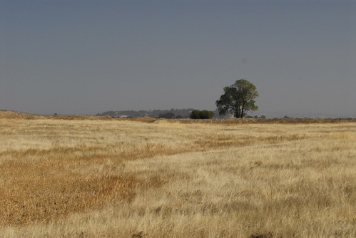
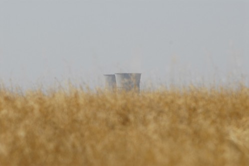
Elevation of Rancho Alta Mesa, Wilton, CA, USA
Location: United States > California > Sacramento County > Wilton >
Longitude: -121.2154154
Latitude: 38.414649
Elevation: 33m / 108feet
Barometric Pressure: 0KPa
Related Photos:
Topographic Map of Rancho Alta Mesa, Wilton, CA, USA
Find elevation by address:

Places in Rancho Alta Mesa, Wilton, CA, USA:
Places near Rancho Alta Mesa, Wilton, CA, USA:
12131 Overland Way
9501 Tavernor Rd
12551 Peach Ln
Peach Lane
12488 Pear Ln
8728 Dillard Rd
Green Road
12190 Walmort Rd
12910 Orange Rd
10150 Badger Creek Ln
Folsom South Canal
Folsom South Canal
Dillard Rd, Wilton, CA, USA
Colony Rd, Wilton, CA, USA
10333 Badger Creek Ln
11540 Badger Colony Ct
Cherry Road
Berry Road
10960 Alta Mesa Rd
Wilton
Recent Searches:
- Elevation map of Greenland, Greenland
- Elevation of Sullivan Hill, New York, New York, 10002, USA
- Elevation of Morehead Road, Withrow Downs, Charlotte, Mecklenburg County, North Carolina, 28262, USA
- Elevation of 2800, Morehead Road, Withrow Downs, Charlotte, Mecklenburg County, North Carolina, 28262, USA
- Elevation of Yangbi Yi Autonomous County, Yunnan, China
- Elevation of Pingpo, Yangbi Yi Autonomous County, Yunnan, China
- Elevation of Mount Malong, Pingpo, Yangbi Yi Autonomous County, Yunnan, China
- Elevation map of Yongping County, Yunnan, China
- Elevation of North 8th Street, Palatka, Putnam County, Florida, 32177, USA
- Elevation of 107, Big Apple Road, East Palatka, Putnam County, Florida, 32131, USA
- Elevation of Jiezi, Chongzhou City, Sichuan, China
- Elevation of Chongzhou City, Sichuan, China
- Elevation of Huaiyuan, Chongzhou City, Sichuan, China
- Elevation of Qingxia, Chengdu, Sichuan, China
- Elevation of Corso Fratelli Cairoli, 35, Macerata MC, Italy
- Elevation of Tallevast Rd, Sarasota, FL, USA
- Elevation of 4th St E, Sonoma, CA, USA
- Elevation of Black Hollow Rd, Pennsdale, PA, USA
- Elevation of Oakland Ave, Williamsport, PA, USA
- Elevation of Pedrógão Grande, Portugal
