Elevation of Ranch Rd, Graham, OK, USA
Location: United States > Oklahoma > Carter County > Graham >
Longitude: -97.511886
Latitude: 34.419508
Elevation: 321m / 1053feet
Barometric Pressure: 98KPa
Elevation Map:
Satellite Map:
Related Photos:

Turner Falls, OK USA
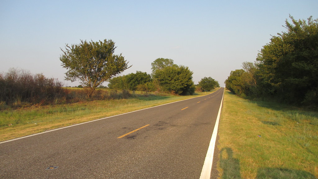
Southern Oklahoma Landscape (Carter County, Oklahoma)

Entering Carter County (Carter County, Oklahoma)
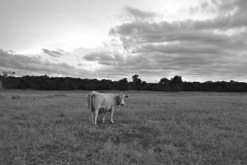
Cow - Version 2

Tussy Supercell

Tussy Supercell
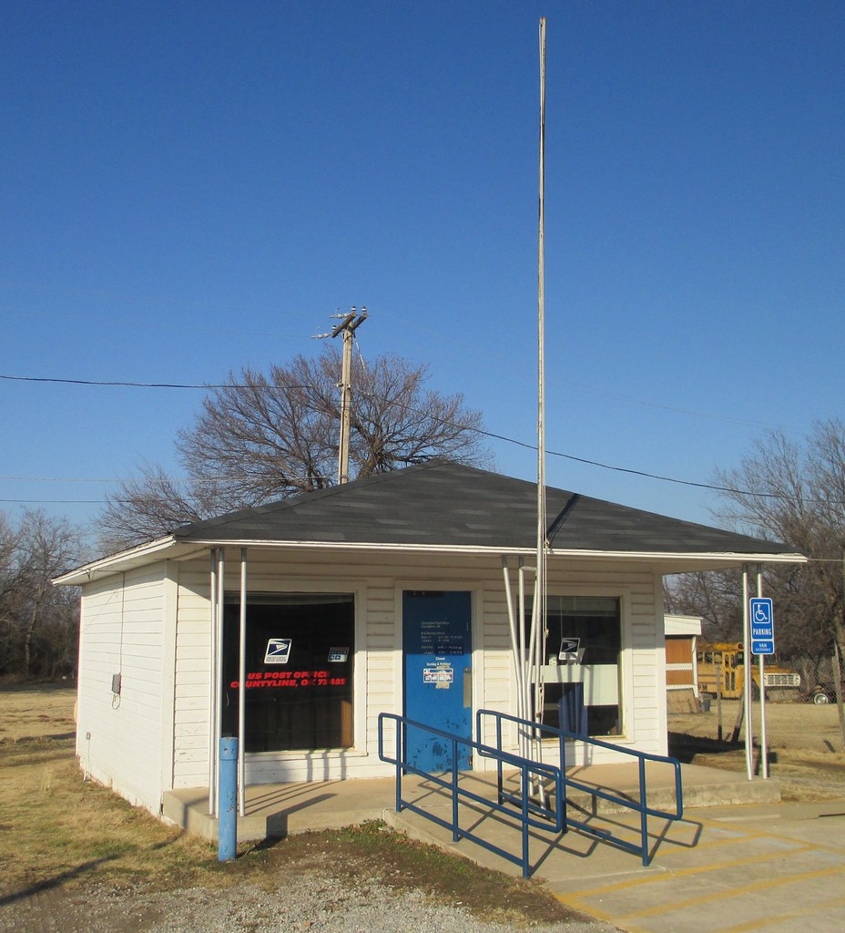
Post Office 73025 (Countyline, Oklahoma)
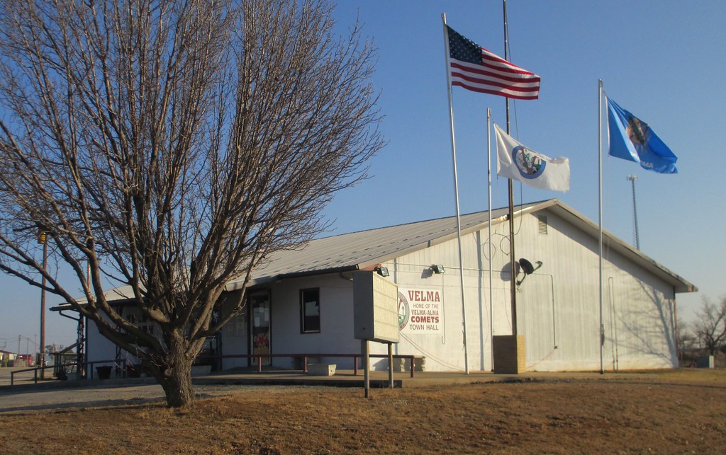
Velma, Oklahoma Town Hall

Post Office 73091 (Velma, Oklahoma)

Carter County Sign (Carter County, Oklahoma)
Post Office 73437 (Graham, Oklahoma)

Post Office 73087 (Tatums, Oklahoma)
Post Office 73081 (Ratliff City, Oklahoma)

Post Office 73435 (Fox, Oklahoma)
Brown Barn
The Brown Barn at Hennepin, OK.
Topographic Map of Ranch Rd, Graham, OK, USA
Find elevation by address:

Places near Ranch Rd, Graham, OK, USA:
4th St, Graham, OK, USA
Samedan Rd, Ardmore, OK, USA
Graham
Velma
4th St, Velma, OK, USA
5 N County Line Rd, Hennepin, OK, USA
Hennepin
Ash St, Loco, OK, USA
Loco
N 5th St, Ringling, OK, USA
Ringling
Wildflower Rd, Wilson, OK, USA
Wilson
Carter County
N Newport Rd, Lone Grove, OK, USA
Arbuckle Mountains
Garvin County
Lone Grove
Lone Grove
1250 Newport Rd
Recent Searches:
- Elevation of Corso Fratelli Cairoli, 35, Macerata MC, Italy
- Elevation of Tallevast Rd, Sarasota, FL, USA
- Elevation of 4th St E, Sonoma, CA, USA
- Elevation of Black Hollow Rd, Pennsdale, PA, USA
- Elevation of Oakland Ave, Williamsport, PA, USA
- Elevation of Pedrógão Grande, Portugal
- Elevation of Klee Dr, Martinsburg, WV, USA
- Elevation of Via Roma, Pieranica CR, Italy
- Elevation of Tavkvetili Mountain, Georgia
- Elevation of Hartfords Bluff Cir, Mt Pleasant, SC, USA