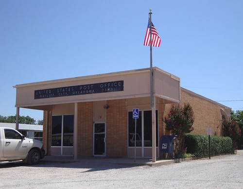
Elevation of 4th St, Graham, OK, USA
Location: United States > Oklahoma > Carter County > Graham >
Longitude: -97.493717
Latitude: 34.363909
Elevation: 296m / 971feet
Barometric Pressure: 98KPa
Related Photos:
Topographic Map of 4th St, Graham, OK, USA
Find elevation by address:

Places near 4th St, Graham, OK, USA:
Samedan Rd, Ardmore, OK, USA
Ranch Rd, Graham, OK, USA
Graham
Ash St, Loco, OK, USA
Loco
5 N County Line Rd, Hennepin, OK, USA
Wildflower Rd, Wilson, OK, USA
Velma
4th St, Velma, OK, USA
Hennepin
N 5th St, Ringling, OK, USA
Ringling
Wilson
Carter County
N Newport Rd, Lone Grove, OK, USA
Lone Grove
Lone Grove
1250 Newport Rd
Arbuckle Mountains
Turner Falls
Recent Searches:
- Elevation of Corso Fratelli Cairoli, 35, Macerata MC, Italy
- Elevation of Tallevast Rd, Sarasota, FL, USA
- Elevation of 4th St E, Sonoma, CA, USA
- Elevation of Black Hollow Rd, Pennsdale, PA, USA
- Elevation of Oakland Ave, Williamsport, PA, USA
- Elevation of Pedrógão Grande, Portugal
- Elevation of Klee Dr, Martinsburg, WV, USA
- Elevation of Via Roma, Pieranica CR, Italy
- Elevation of Tavkvetili Mountain, Georgia
- Elevation of Hartfords Bluff Cir, Mt Pleasant, SC, USA

