Elevation of Raisen, Madhya Pradesh, India
Location: India > Madhya Pradesh > Raisen >
Longitude: 77.7823973
Latitude: 23.3327329
Elevation: 443m / 1453feet
Barometric Pressure: 96KPa
Elevation Map:
Satellite Map:
Related Photos:
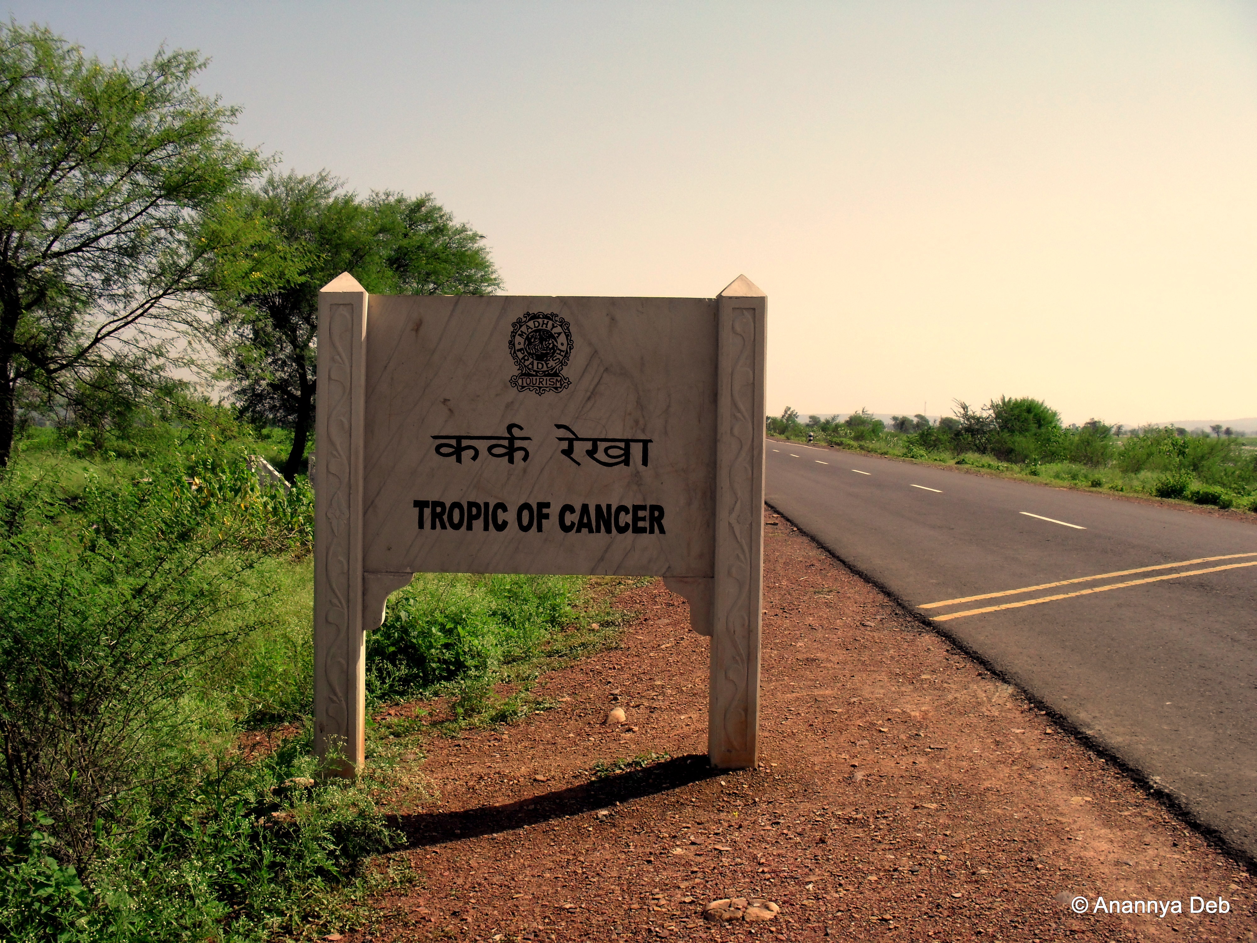
Madhya Pradesh, September 2009
Topographic Map of Raisen, Madhya Pradesh, India
Find elevation by address:

Places near Raisen, Madhya Pradesh, India:
Vidisha
Balampur
Betwa River
Kanora
Vidya Nagar, Mandideep, Bhopal, Madhya Pradesh, India
Sector B
Mandideep
Bhopal
Chaddar
Itwara
Lower Lake
Bhopal
Kamla Park Road
Centre Market, Opposite Kilol Park, Petrol Pump
Vip Guest House
Kollu Kheri
Raisen
Hoshangabad
Shivni
Hoshangabad
Recent Searches:
- Elevation of Corso Fratelli Cairoli, 35, Macerata MC, Italy
- Elevation of Tallevast Rd, Sarasota, FL, USA
- Elevation of 4th St E, Sonoma, CA, USA
- Elevation of Black Hollow Rd, Pennsdale, PA, USA
- Elevation of Oakland Ave, Williamsport, PA, USA
- Elevation of Pedrógão Grande, Portugal
- Elevation of Klee Dr, Martinsburg, WV, USA
- Elevation of Via Roma, Pieranica CR, Italy
- Elevation of Tavkvetili Mountain, Georgia
- Elevation of Hartfords Bluff Cir, Mt Pleasant, SC, USA