Elevation map of Bhopal, Madhya Pradesh, India
Location: India > Madhya Pradesh >
Longitude: 77.4242972
Latitude: 23.4884313
Elevation: 487m / 1598feet
Barometric Pressure: 96KPa
Elevation Map:
Satellite Map:
Related Photos:

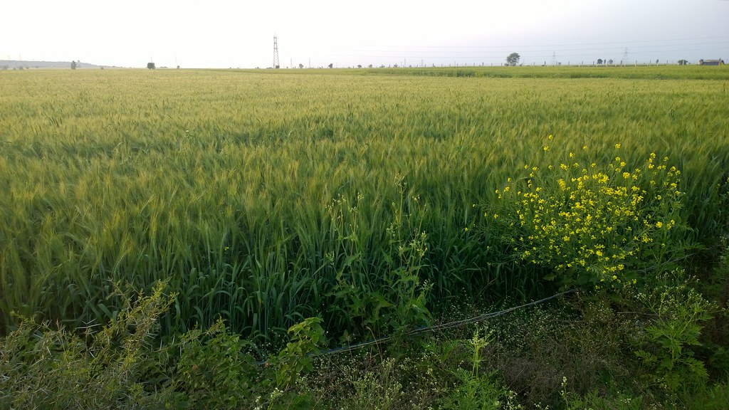
WP_20150212_17_52_02_Pro

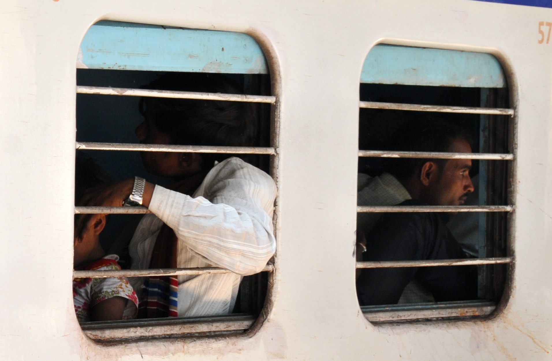
WP_20150212_17_52_20_Pro
WP_20150212_17_54_05_Pro
India- Bhopal- Madhya Pradesh

Woman doing morning pooja

Islamnagar (MP)

Islamnagar (MP)

Islamnagar (MP)

End of another day...
Topographic Map of Bhopal, Madhya Pradesh, India
Find elevation by address:

Places near Bhopal, Madhya Pradesh, India:
Balampur
Kollu Kheri
Vip Guest House
Bhopal
Itwara
Chaddar
Kamla Park Road
Centre Market, Opposite Kilol Park, Petrol Pump
Lower Lake
Vidisha
Raisen
Kanora
Mandideep
Vidya Nagar, Mandideep, Bhopal, Madhya Pradesh, India
Sector B
Betwa River
Hoshangabad
Raisen
Dolaria
Itarsi
Recent Searches:
- Elevation of Corso Fratelli Cairoli, 35, Macerata MC, Italy
- Elevation of Tallevast Rd, Sarasota, FL, USA
- Elevation of 4th St E, Sonoma, CA, USA
- Elevation of Black Hollow Rd, Pennsdale, PA, USA
- Elevation of Oakland Ave, Williamsport, PA, USA
- Elevation of Pedrógão Grande, Portugal
- Elevation of Klee Dr, Martinsburg, WV, USA
- Elevation of Via Roma, Pieranica CR, Italy
- Elevation of Tavkvetili Mountain, Georgia
- Elevation of Hartfords Bluff Cir, Mt Pleasant, SC, USA