Elevation of Raccoon Run, Marshall, NC, USA
Location: United States > North Carolina > Madison County > 5, Walnut >
Longitude: -82.762446
Latitude: 35.8683459
Elevation: 624m / 2047feet
Barometric Pressure: 94KPa
Elevation Map:
Satellite Map:
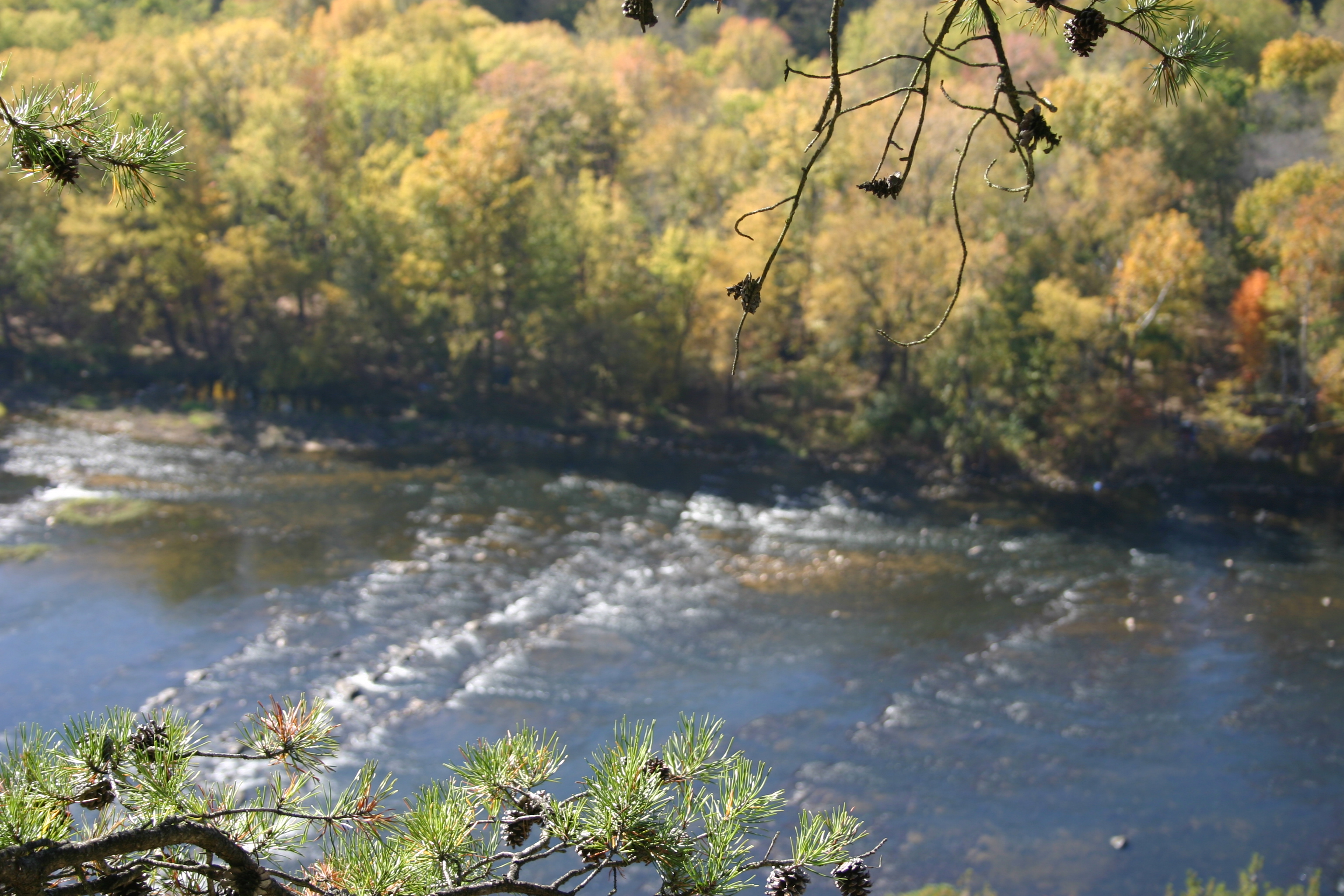
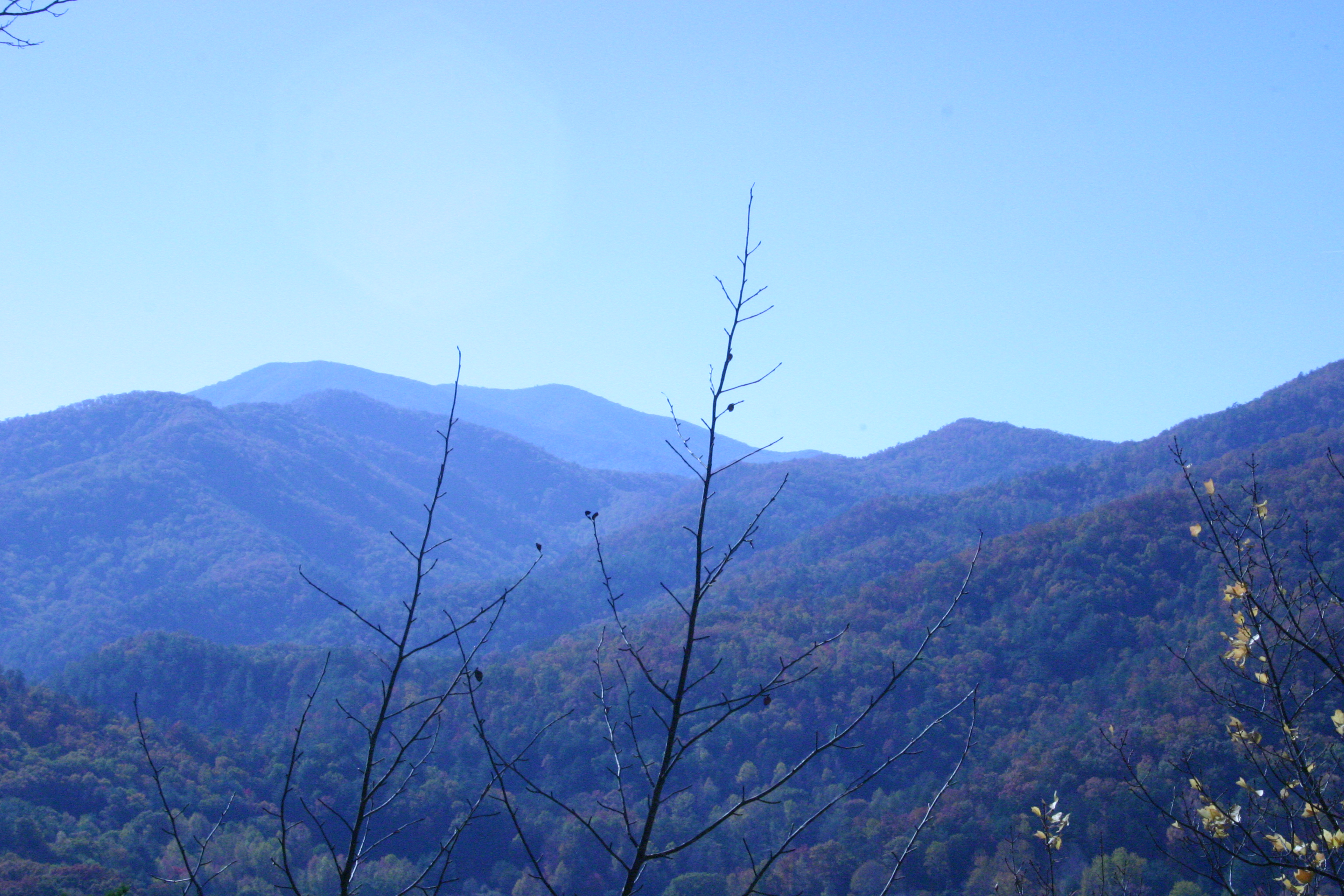
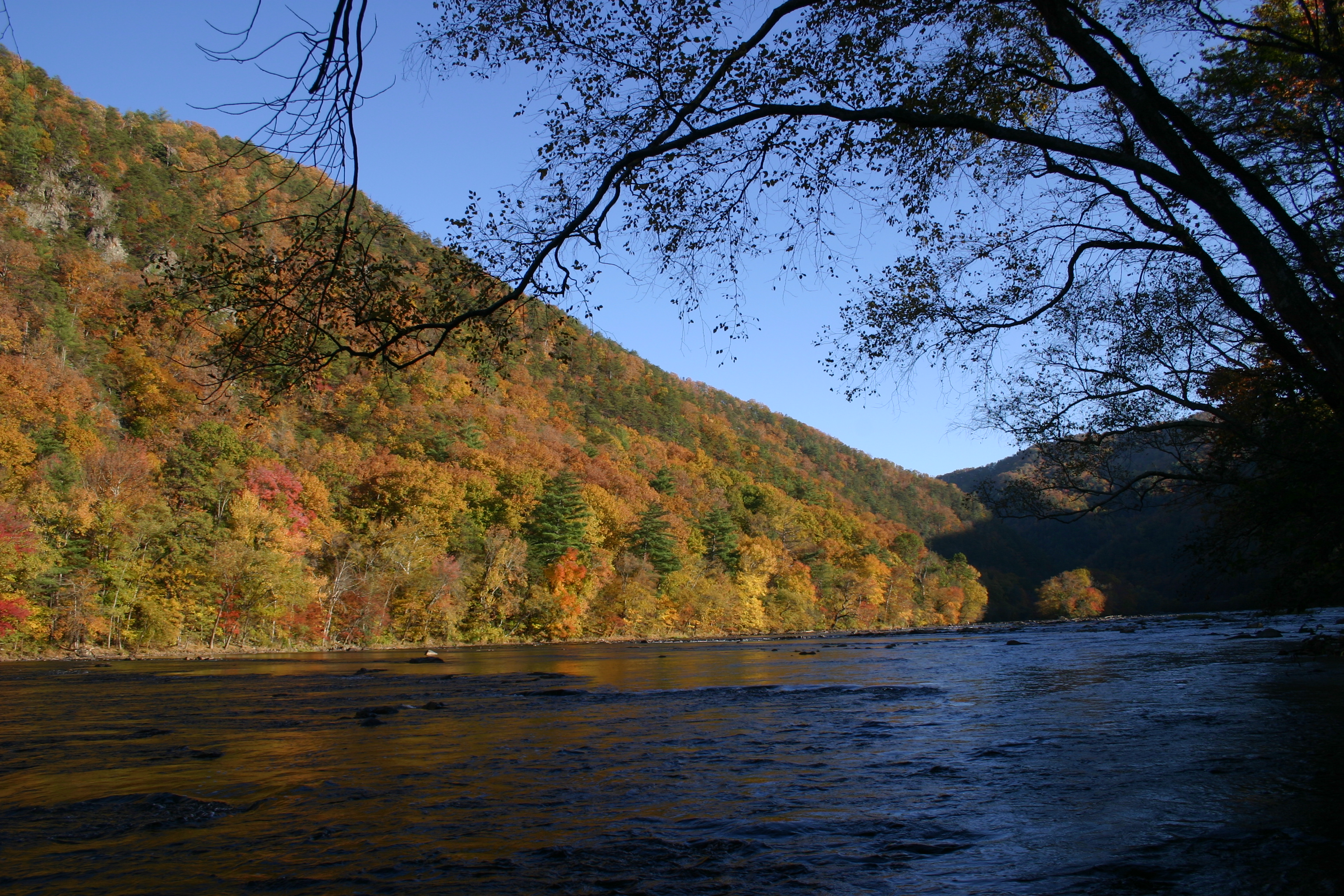
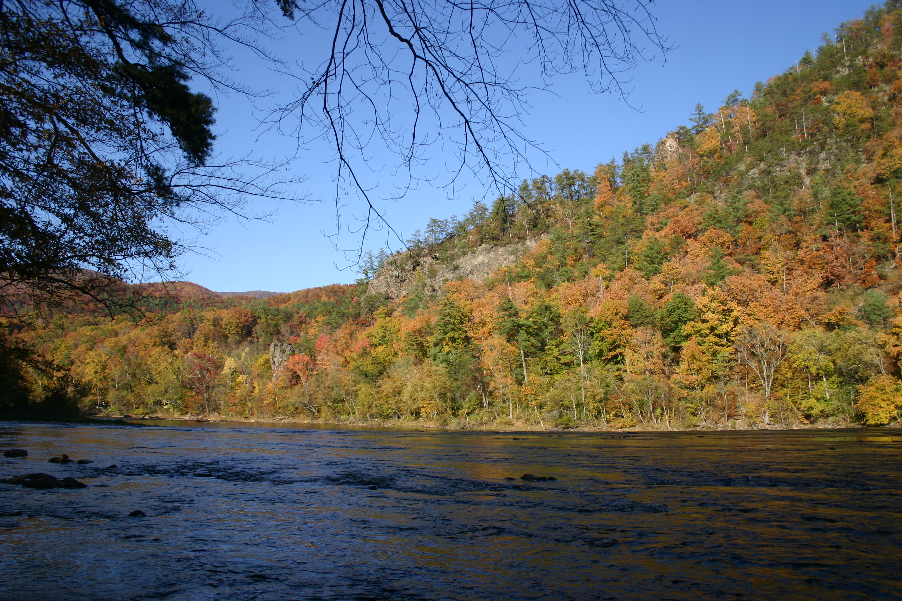
Related Photos:
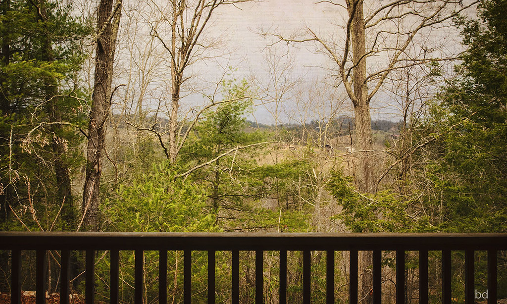
View from Sid's Veranda in Marshal NC.
NC 209 Scenic View

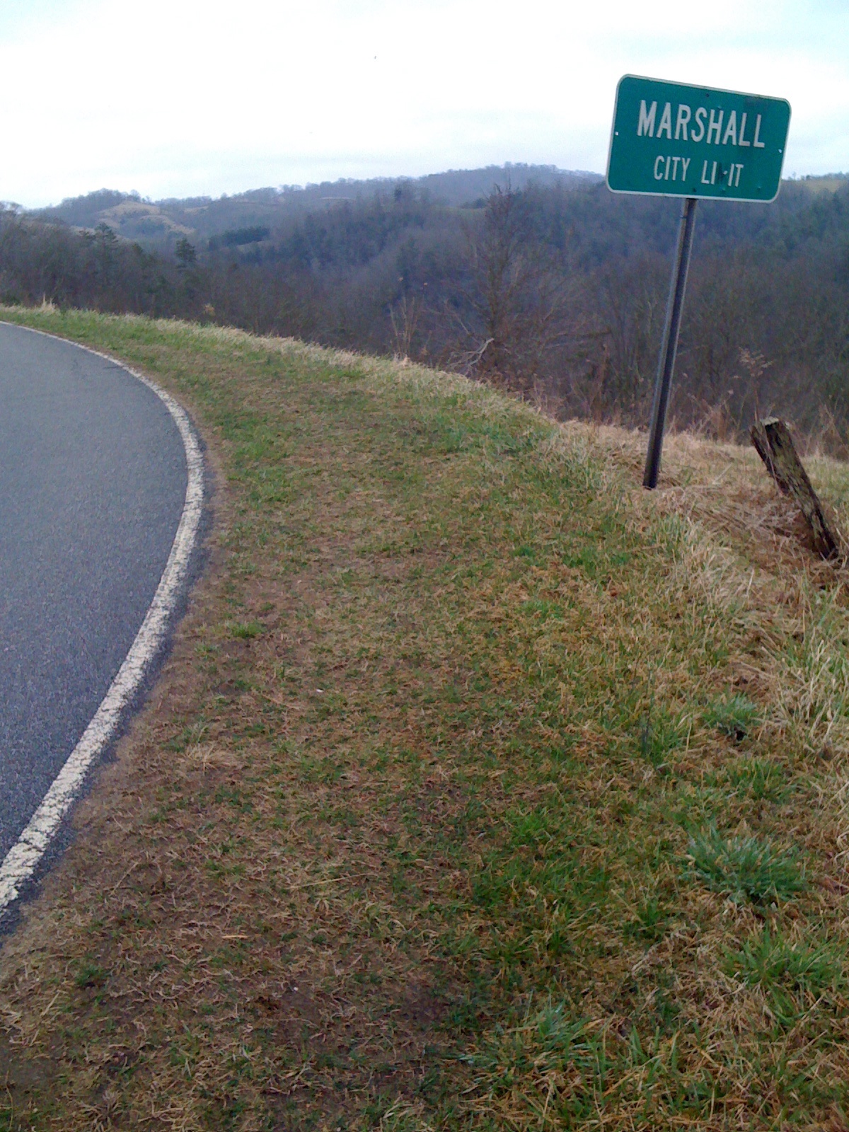
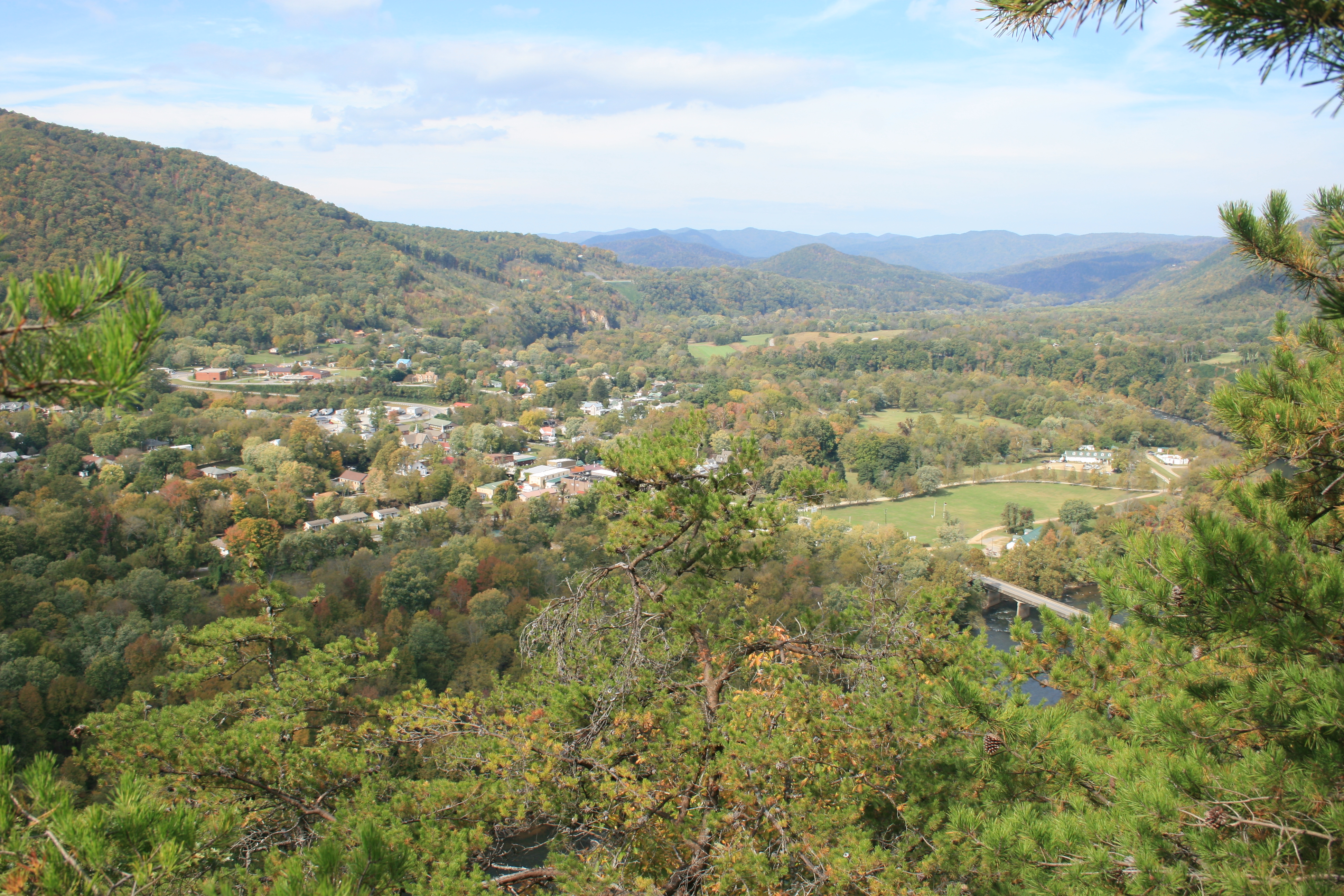
Marshall, North Carolina
Marshall, NC, Contrasted View
View from Lovers Leap.
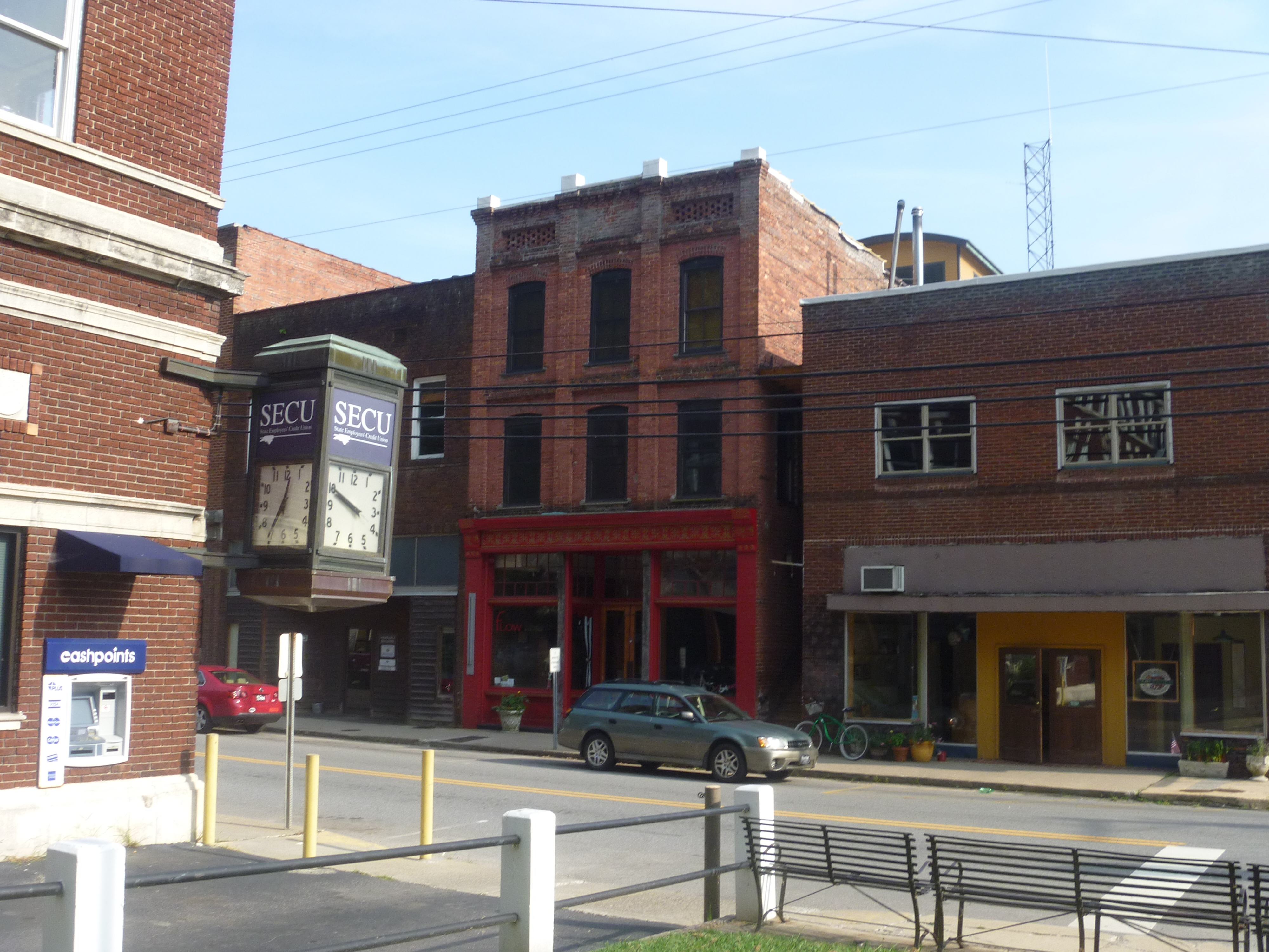
Buildings In Downtown Marshall NC
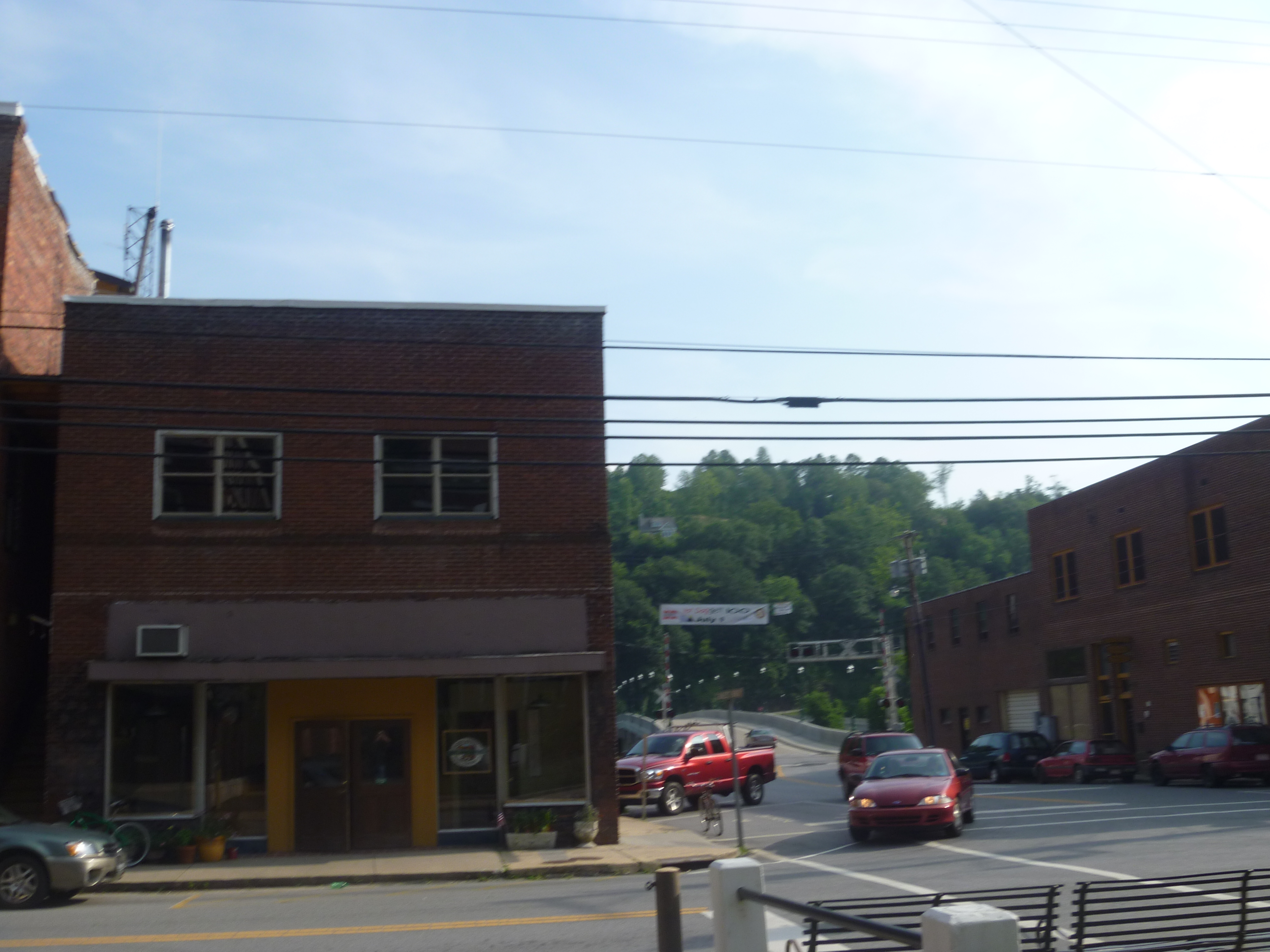
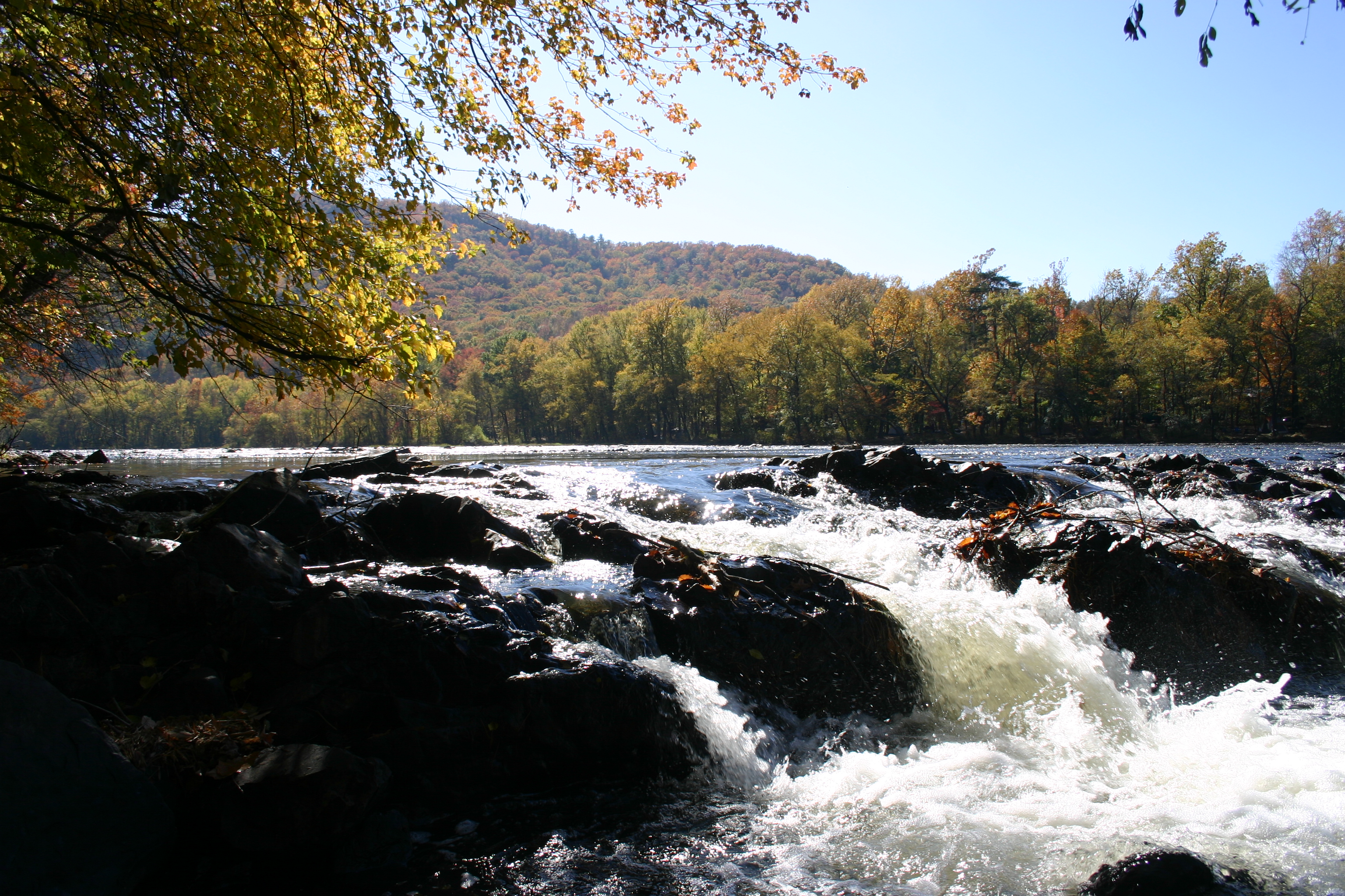
7 28 marshall nc bridge view 1

Top View Of Madison County Courthouse
Downtown Marshall NC

William Tyler at Transfigurations II (the view from the closest shady spot)

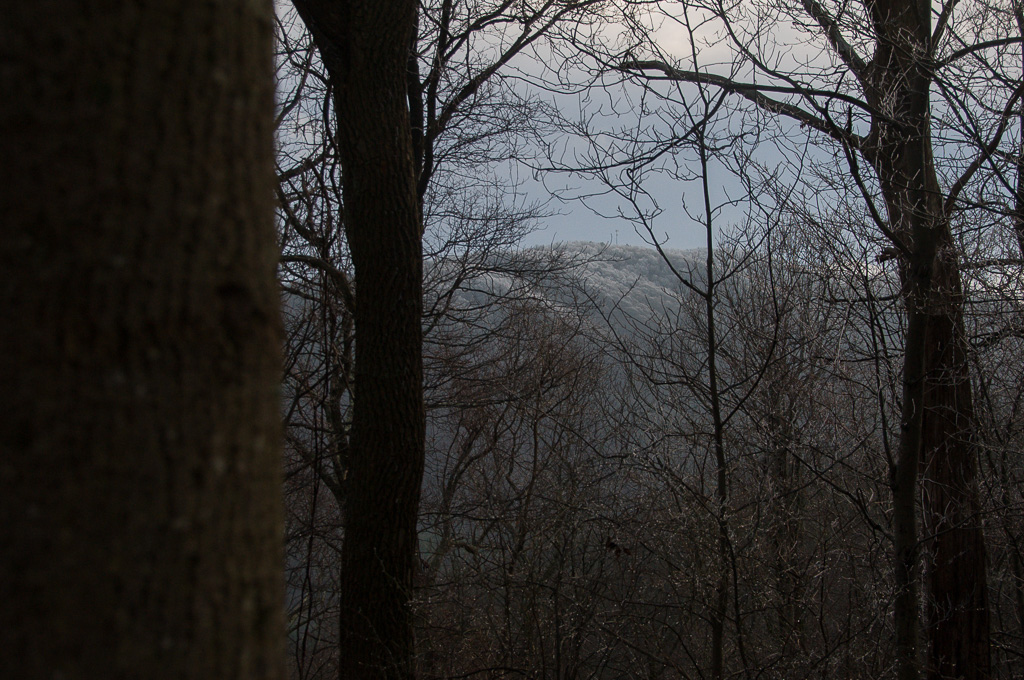
tracks & mountains
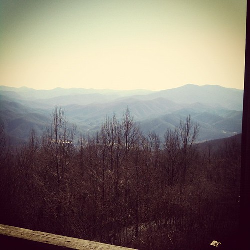
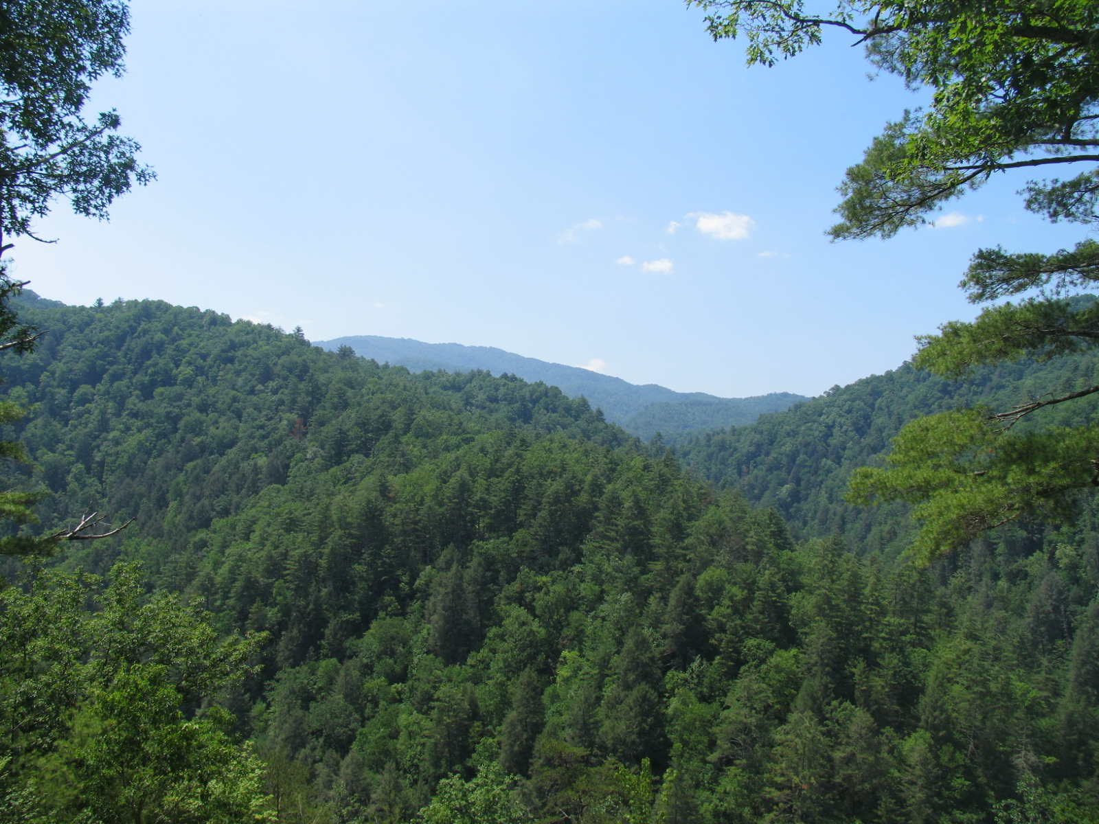
View from the Rich Mountain lookout tower
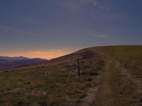
MAX PATCH BALD
View of W4C/CM-110 Rich Mtn

View of W4C/CM-110 Rich Mtn
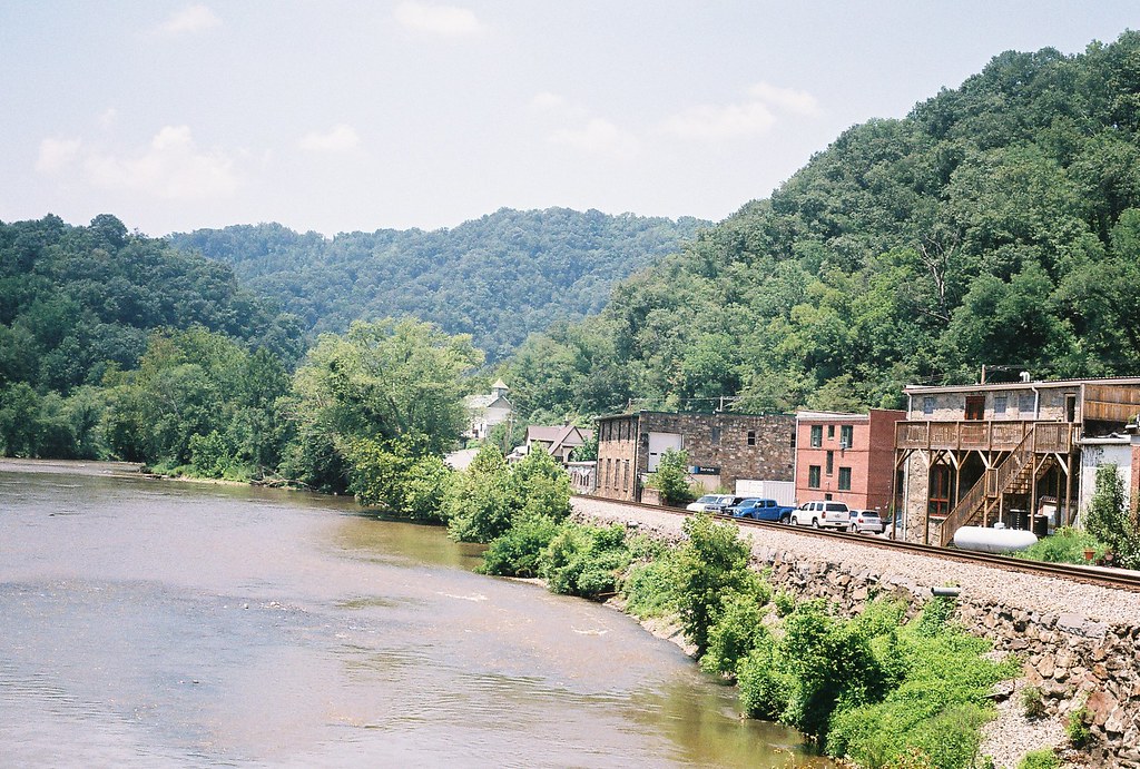
7 28 marshall nc bridge view
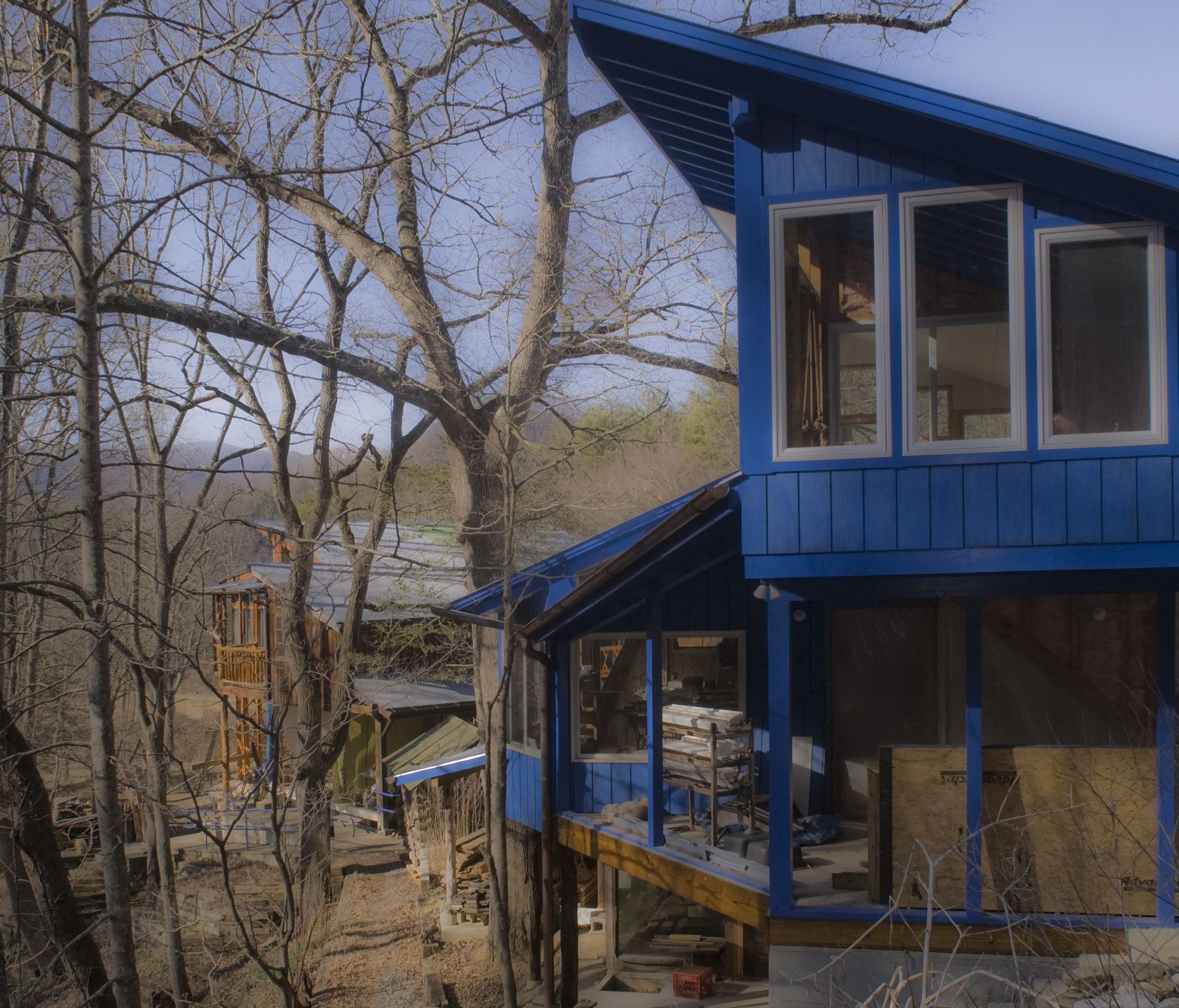
PingPong-palace-rear
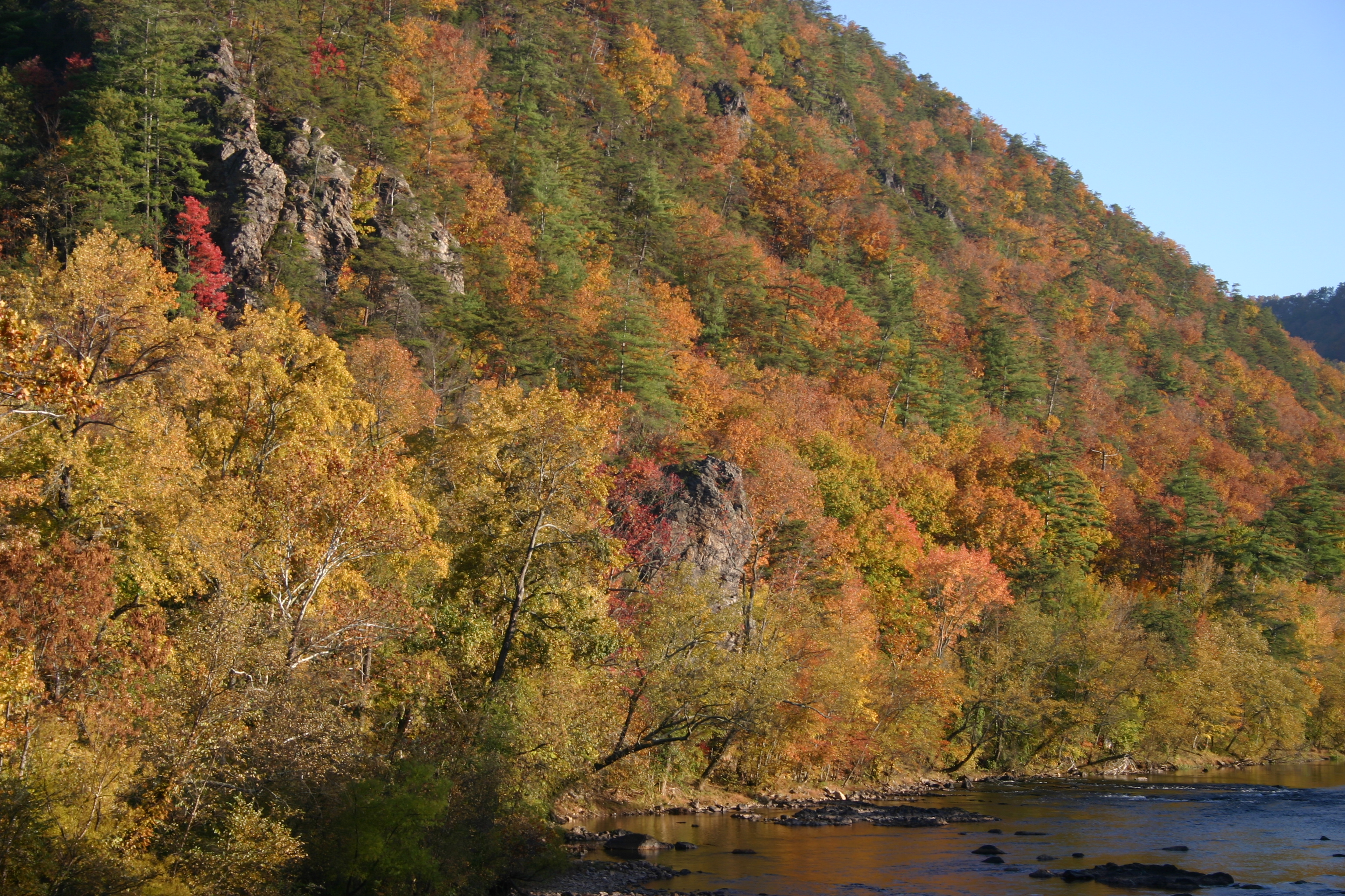
View of Hot Springs from Lovers Leap.

View From Rich Mountain Fire Tower
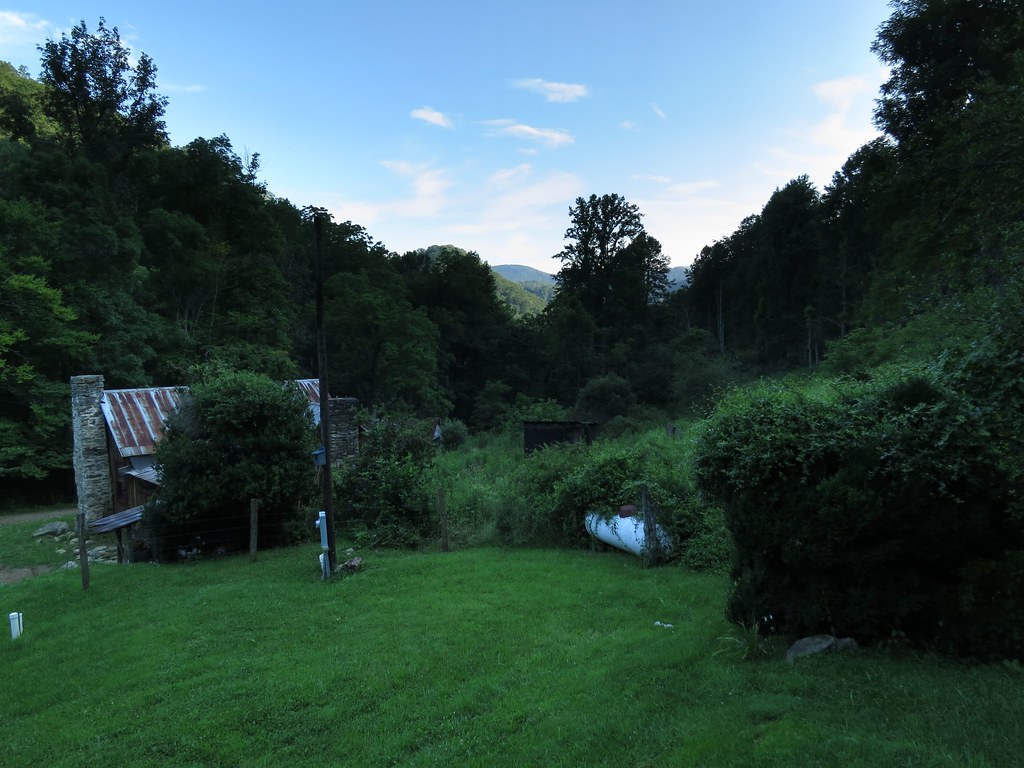
IMG_0181The view from the porch of the cabin we rented. The house in the picture below is completely deserted so we had total privacy.

view from Hurricane Gap fire tower

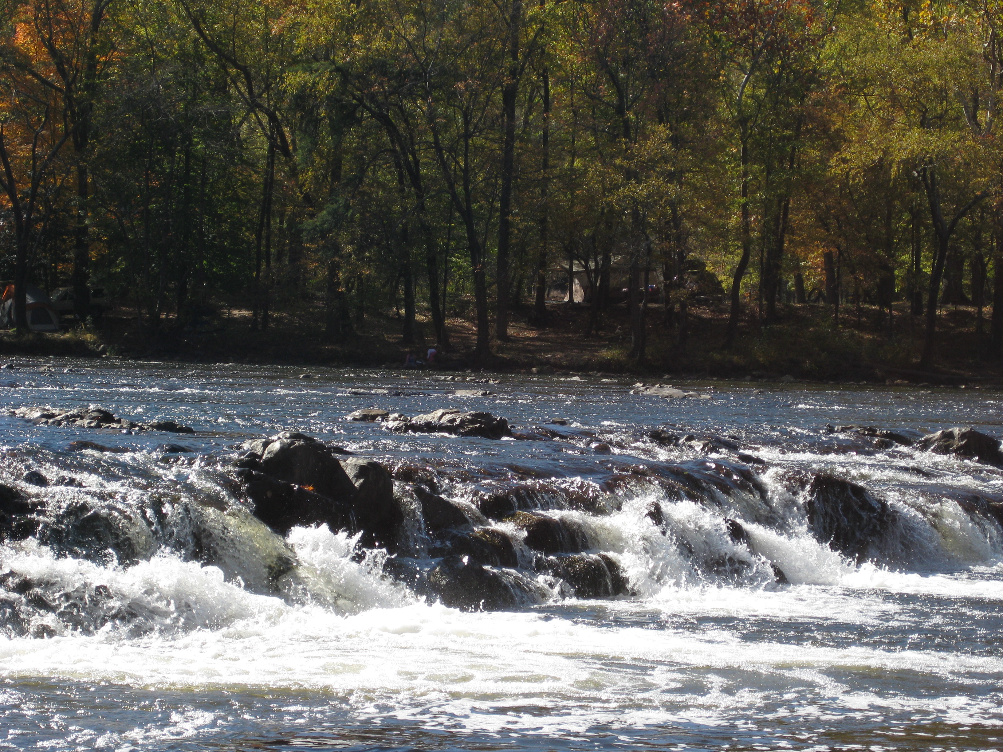
Photo Stream-682

Photo Stream-684

Hot Srings Oct 08 296
Hot Srings Oct 08 242
Hot Srings Oct 08 240
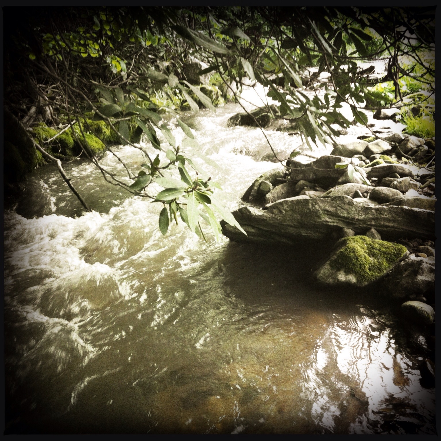
Photo Stream-693
Hot Srings Oct 08 236
Hot Srings Oct 08 257
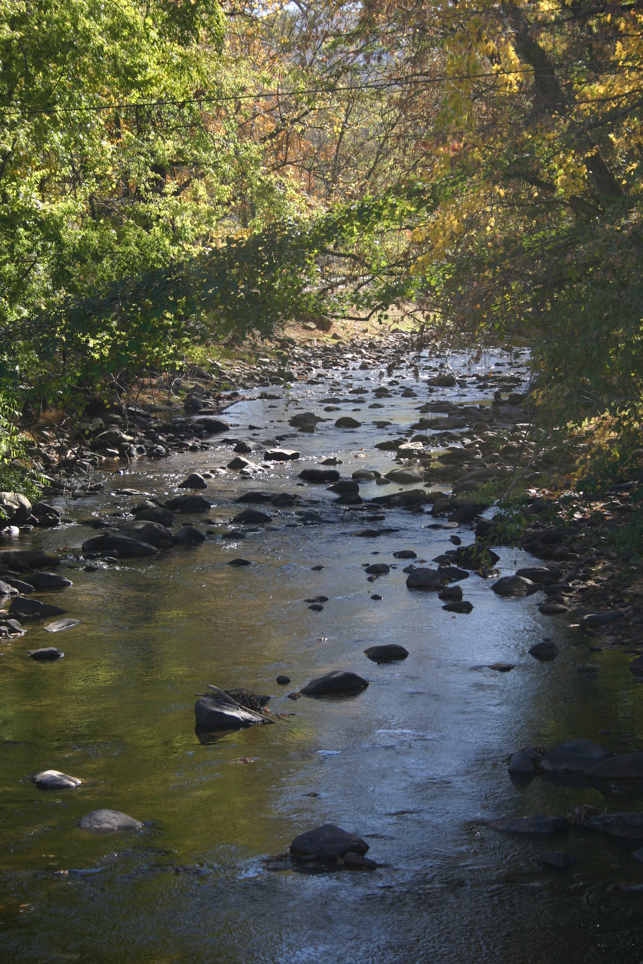
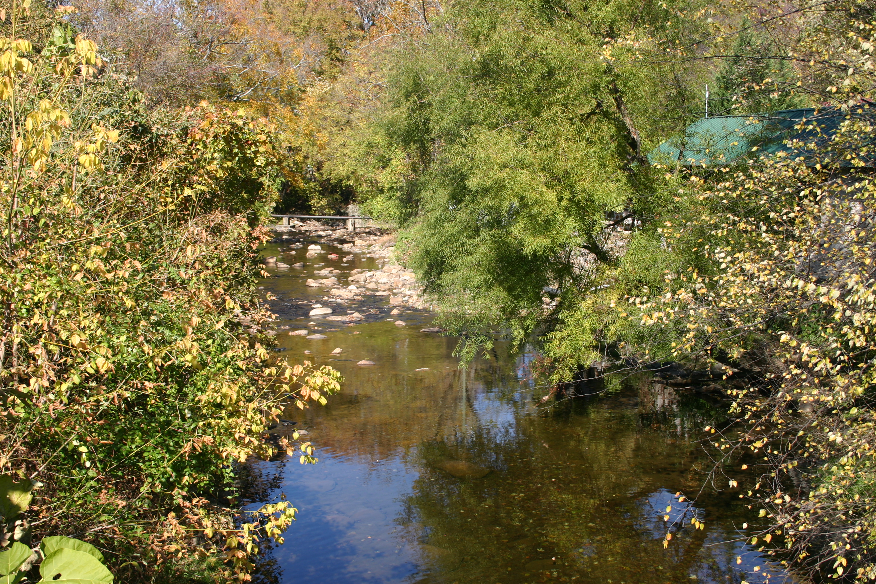
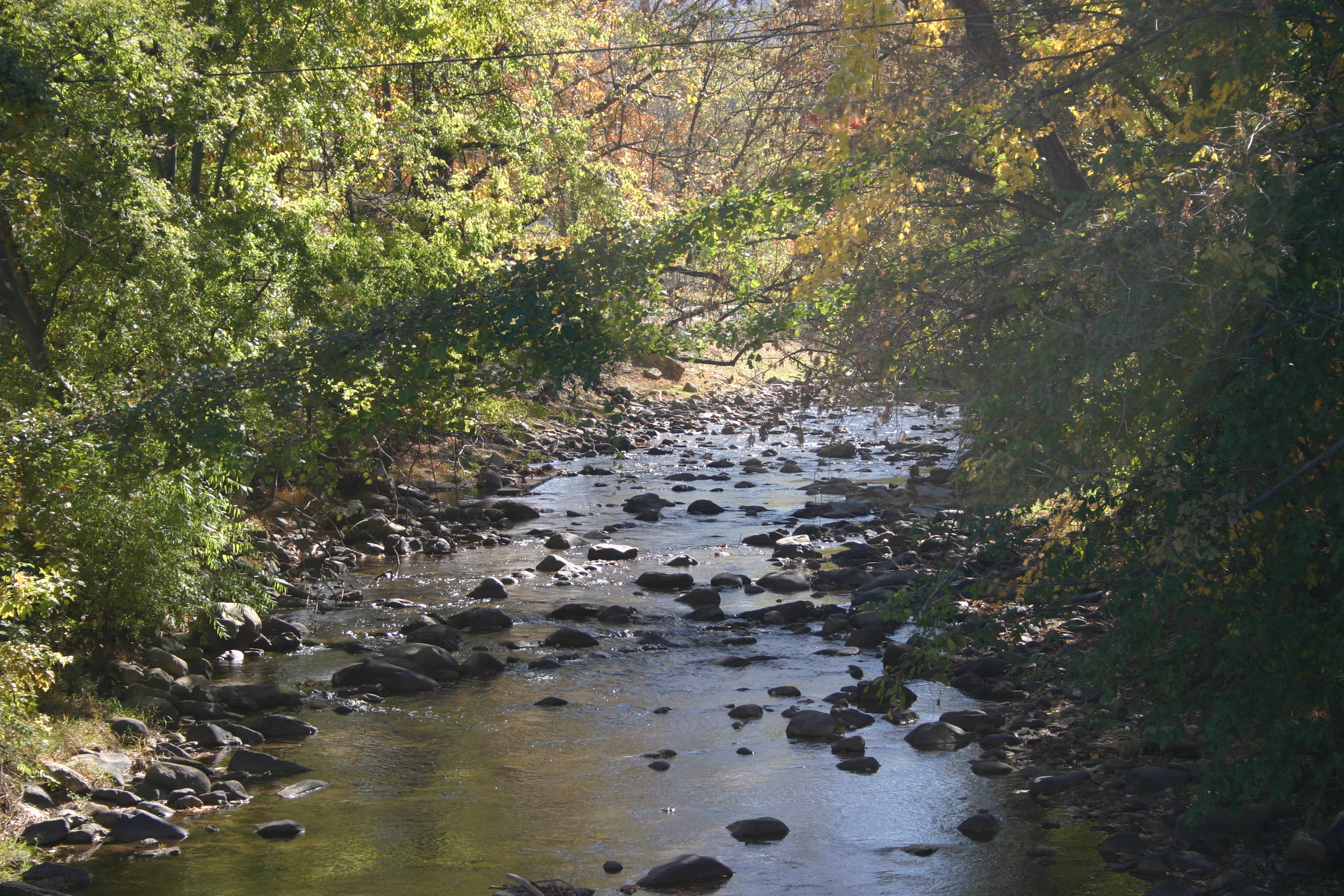
Snowy Creek
Hot Springs Oct 08 179
Hot Springs Oct 08 197
Hot Srings Oct 08 228

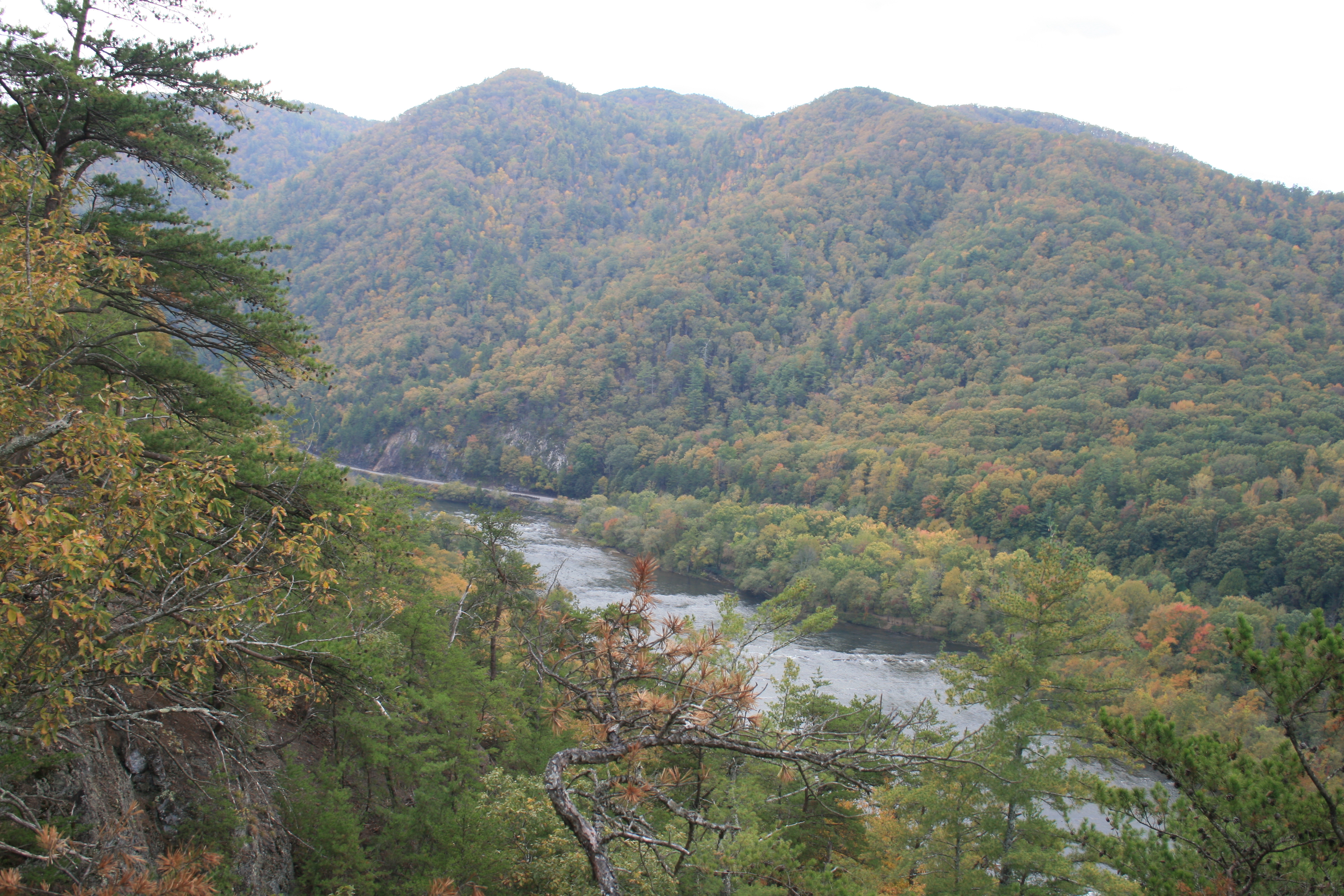
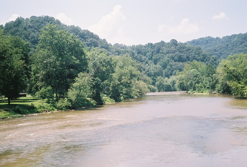
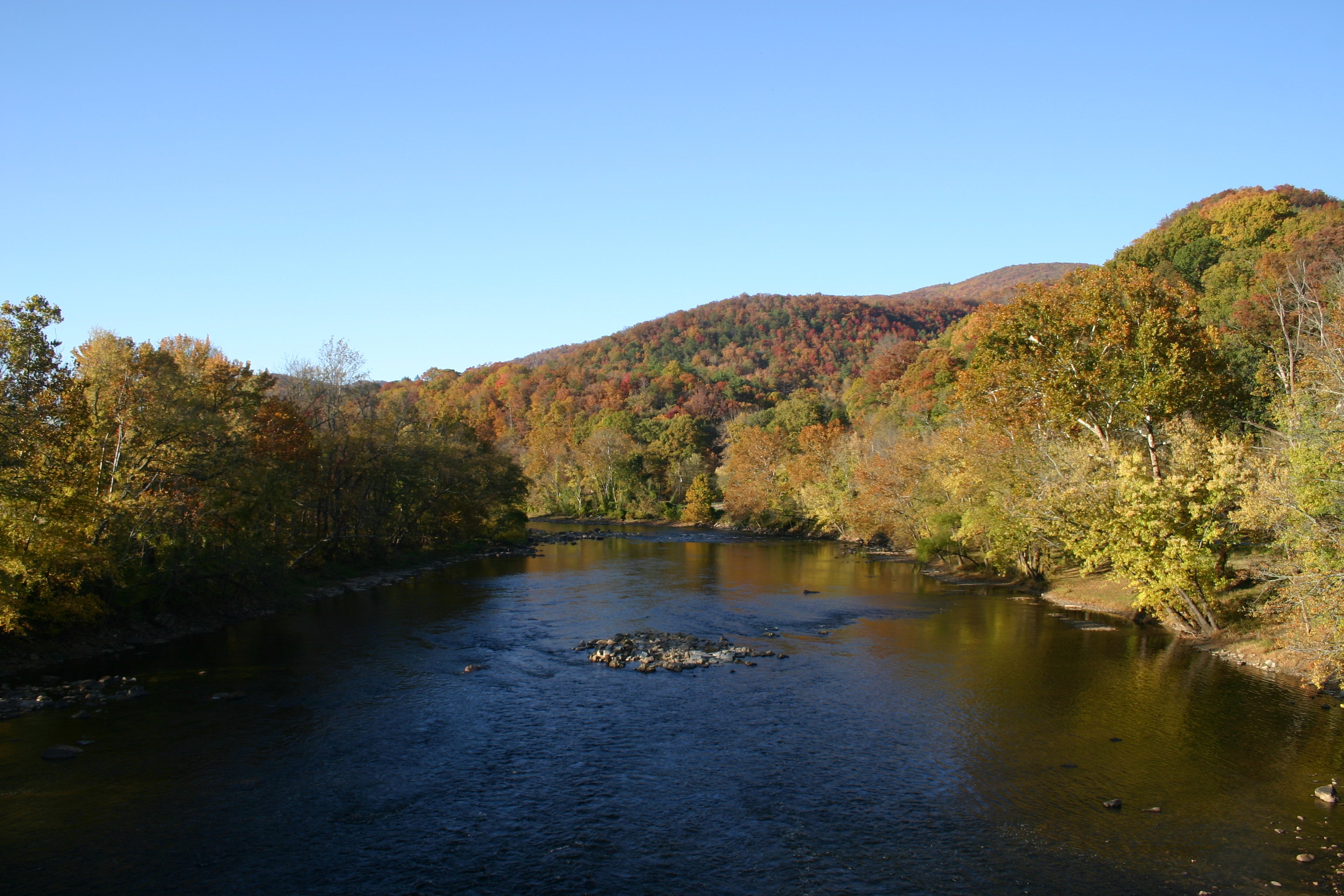
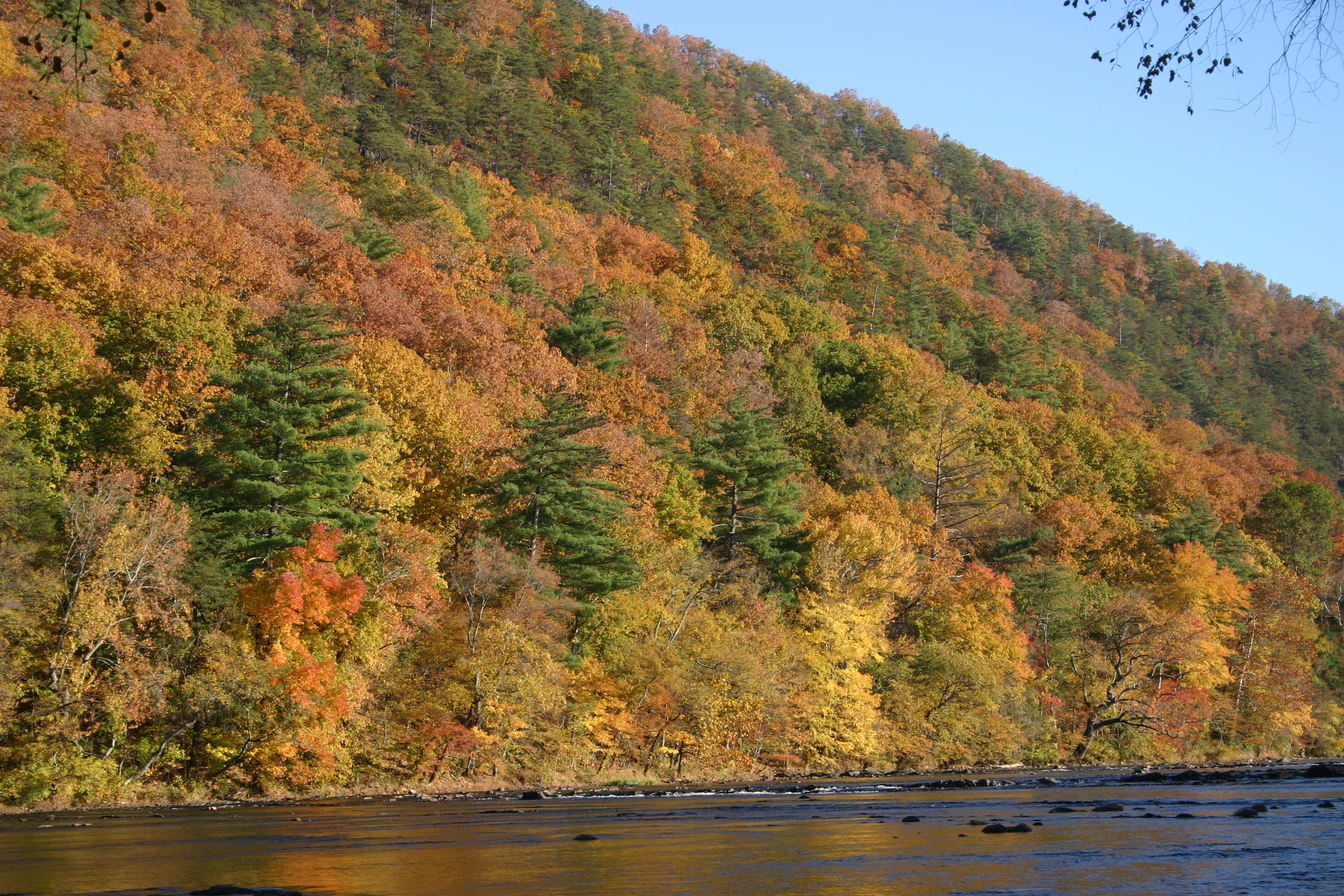
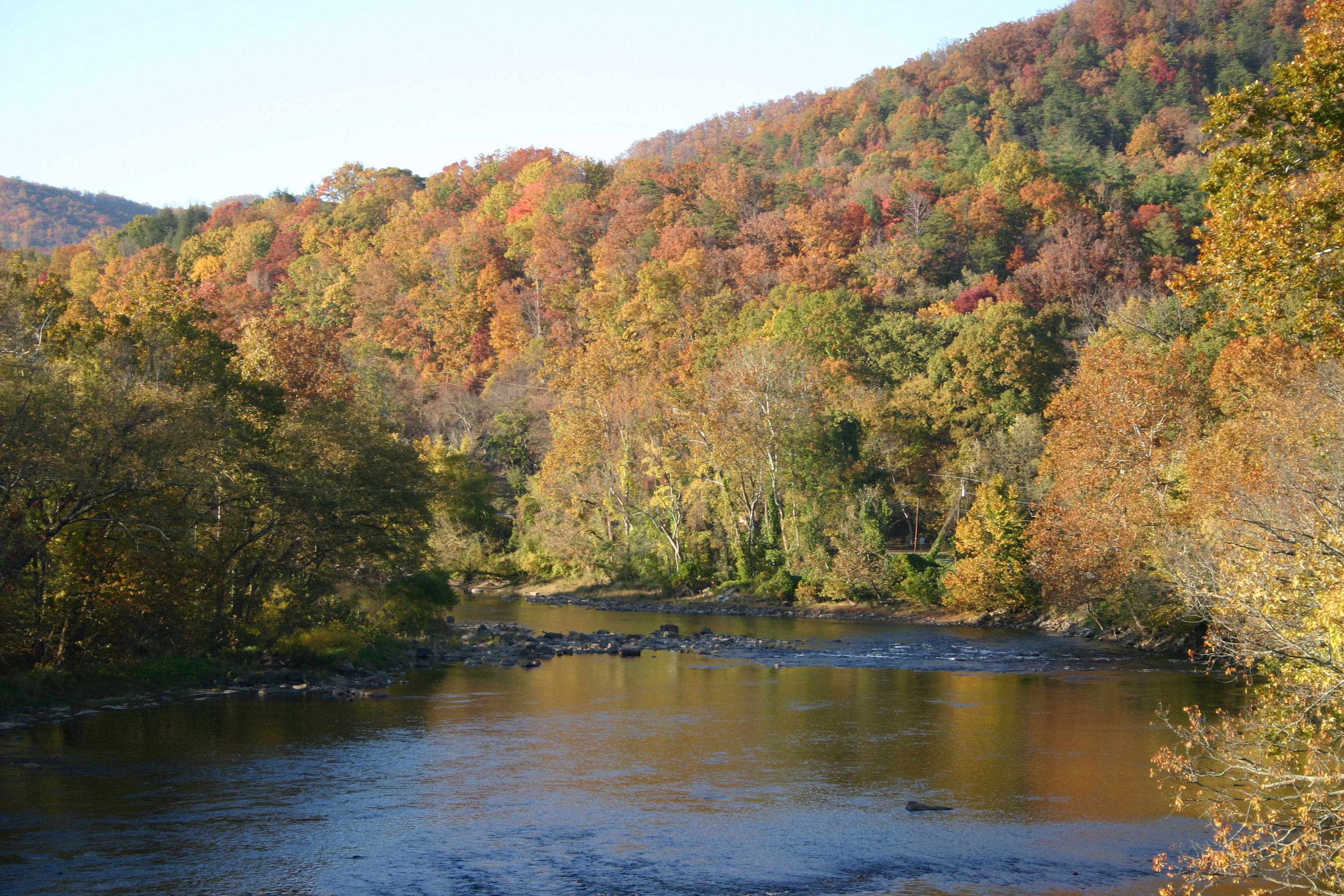
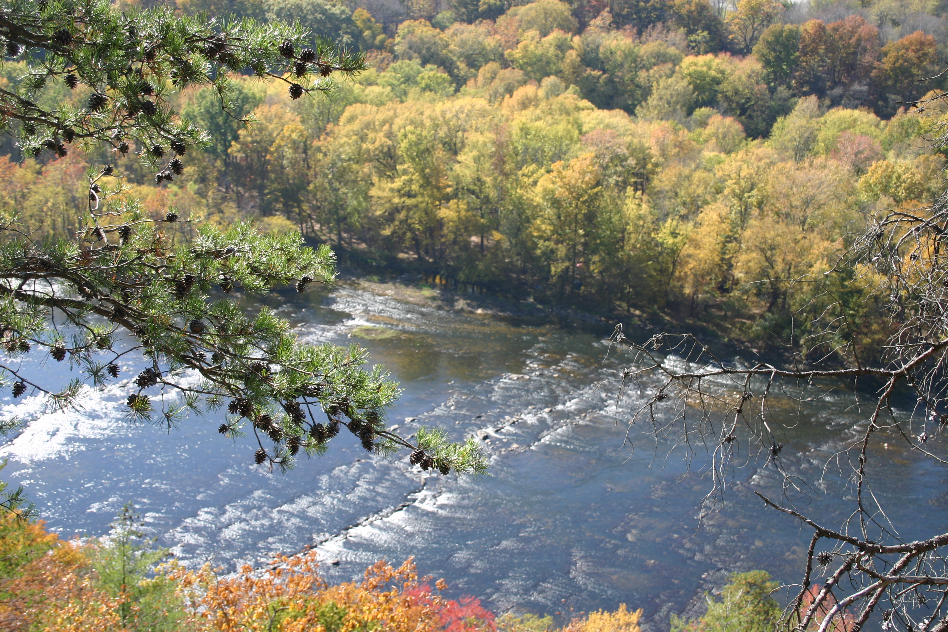
French Broad River and Hot Springs, North Carolina from Lover's Leap on the Appalachian Trail.
Hot Srings Oct 08 232
Hot Springs Oct 08 128
Hot Springs Oct 08 017
Hot Springs Oct 08 171
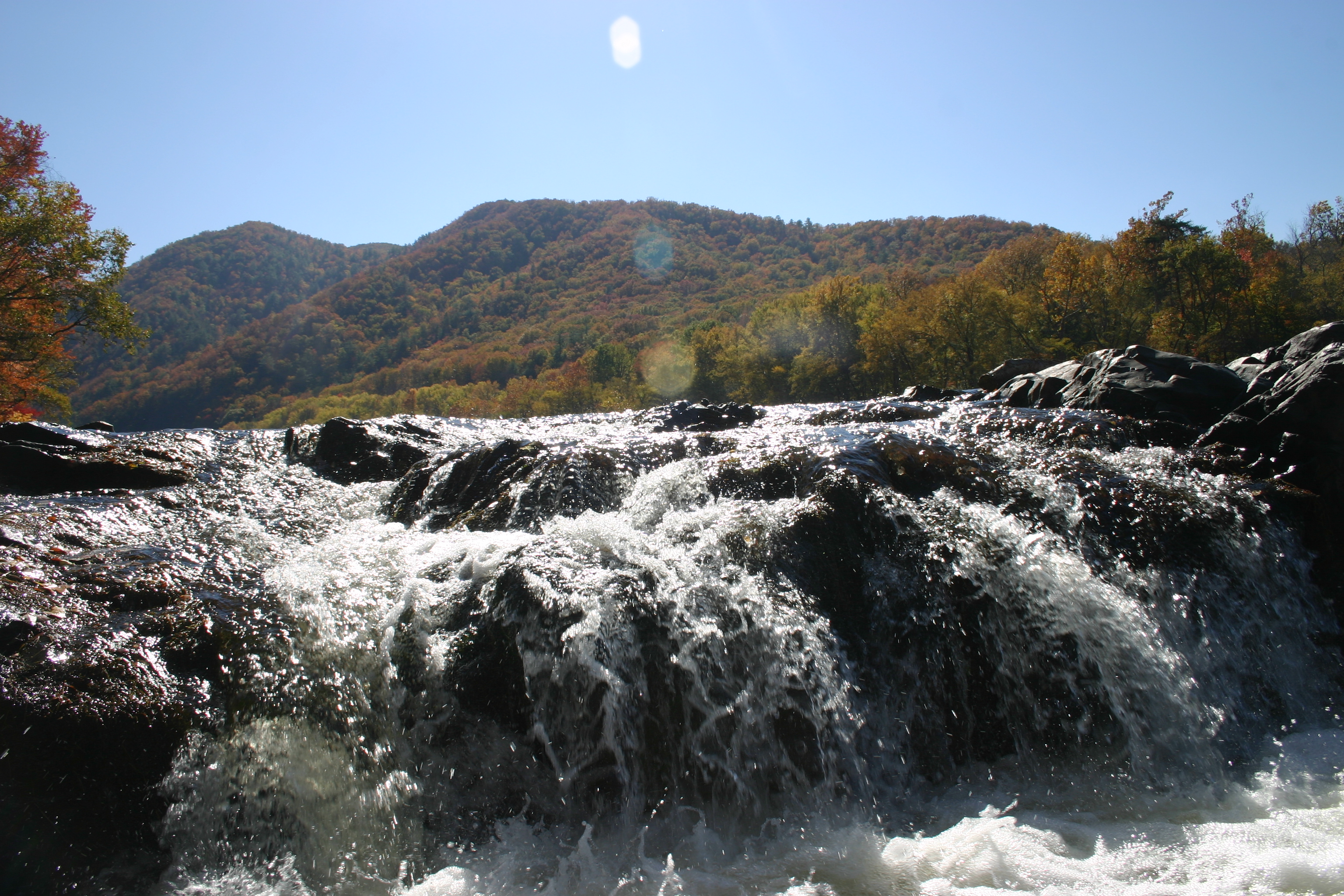
Hot Springs Oct 08 141
Hot Springs Oct 08 156
Hot Springs Oct 08 120
Hot Springs Oct 08 126
Topographic Map of Raccoon Run, Marshall, NC, USA
Find elevation by address:

Places near Raccoon Run, Marshall, NC, USA:
13 Red Fox Trail
2215 French Broad Pkwy
2725 French Broad Pkwy
Stackhouse Rd, Marshall, NC, USA
Cow Mountain Road
12165 Us-25 #70
12165 Us-25
13590 Us-25
740 State Rd 1319
Thomas Branch Road
Thomas Branch Road
Thomas Branch Road
Thomas Branch Road
Bobby Gosnell Road
847 Bobby Gosnell Rd
179 Deer Leap
174 Moonshiners Trail
Hot Springs Mountain
Chandler Cove Rd, Marshall, NC, USA
Chandler Cove Road
Recent Searches:
- Elevation of Corso Fratelli Cairoli, 35, Macerata MC, Italy
- Elevation of Tallevast Rd, Sarasota, FL, USA
- Elevation of 4th St E, Sonoma, CA, USA
- Elevation of Black Hollow Rd, Pennsdale, PA, USA
- Elevation of Oakland Ave, Williamsport, PA, USA
- Elevation of Pedrógão Grande, Portugal
- Elevation of Klee Dr, Martinsburg, WV, USA
- Elevation of Via Roma, Pieranica CR, Italy
- Elevation of Tavkvetili Mountain, Georgia
- Elevation of Hartfords Bluff Cir, Mt Pleasant, SC, USA