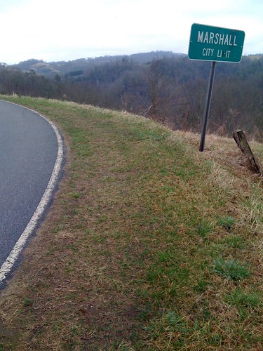
Elevation of 13 Red Fox Trail, Marshall, NC, USA
Location: United States > North Carolina > Madison County > 1, North Marshall > Marshall >

Longitude: -82.764403

Latitude: 35.8688829

Elevation: 599m / 1965feet

Barometric Pressure: 94KPa

Elevation Map:

elevation map of 13 Red Fox Trail, Marshall, NC, USA
Satellite Map:

Satellite map of 13 Red Fox Trail, Marshall, NC, USA

Related Photos:

travel mountains
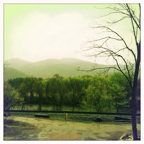
tracks & mountains
northcarolina aroundthehouse travelus nikond300s kimklassentextures barbdpics
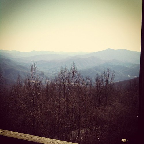
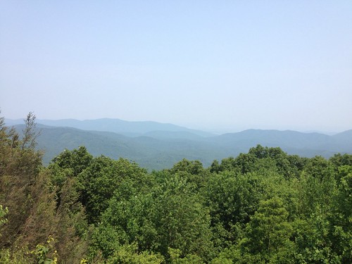
View from Sid's Veranda in Marshal NC.
square squareformat earlybird iphoneography instagramapp uploaded:by=instagram
View from the Rich Mountain lookout tower
sunset sky nature water beauty museum rural nc alone quiet waterfront path wwii gray navy bald northcarolina trail battleship capefearriver smokeymountains maxpatch “isawyoufirst” spiritofphotography
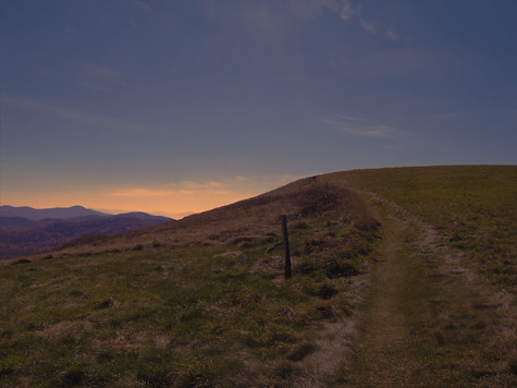
MAX PATCH BALD
mountains outdoors day favorites northcarolina clear 2008 madisoncounty
NC 209 Scenic View
sota summitsontheair springmtn elecraftkx3 ki4svm 88doublet hardrock50 npotatr01 w4ccm105
View of W4C/CM-110 Rich Mtn
sota summitsontheair springmtn elecraftkx3 ki4svm 88doublet hardrock50 npotatr01 w4ccm105
View of W4C/CM-110 Rich Mtn
sota summitsontheair yaesuft817 ki4svm lnrtrailfriendlyendfedz hardrock50amp w4tsu0753070
View of W4C/CM-035 - Bluff Mtn
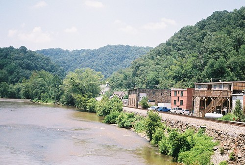
summer vacation 35mm river nc july northcarolina rangefinder roadtrip marshall smalltown argusc3 madisoncounty argus frenchbroadriver frenchbroad 2011 marshallnc ellenjo ellenjoroberts july2011 roadtripwithmommaandfloyd
7 28 marshall nc bridge view
cycling asheville northcarolina blueridgeparkway weaverville craggymountains dartmouthcycling
Marshall, North Carolina
sota summitsontheair yaesuft817 ki4svm 88doublet hardrock50 paintmtn w4tsu095
View of W4T/SU-095 - Paint Mtn from Trail
world blue trees beauty photo nikon earth davis camille clutter hotsprings tebbe azule flickrchallengegroup
PingPong-palace-rear
cycling asheville northcarolina blueridgeparkway weaverville craggymountains dartmouthcycling
Marshall, NC, Contrasted View
View of Hot Springs from Lovers Leap.
View From Rich Mountain Fire Tower
sota summitsontheair yaesuft817 ki4svm 88doublet hardrock50 paintmtn w4tsu095
View from Trail to W4T/SU-095 - Paint Mtn
View from Lovers Leap.
buildings downtown northcarolina marshall courthouse madisoncounty
Buildings In Downtown Marshall NC
summer vacation 35mm river nc july northcarolina rangefinder roadtrip marshall smalltown argusc3 madisoncounty argus frenchbroadriver frenchbroad 2011 marshallnc ellenjo ellenjoroberts july2011 roadtripwithmommaandfloyd
7 28 marshall nc bridge view 1
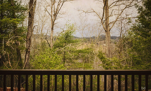
IMG_0181The view from the porch of the cabin we rented. The house in the picture below is completely deserted so we had total privacy.
view from Hurricane Gap fire tower
Photo Stream-682
Photo Stream-684
Hot Srings Oct 08 296
d50 wnc pisgahnatlforest hiking nc blueridgemountains waterfalls hickeycreekfalls luxifurr
DSC_0055.jpg
square squareformat helena iphoneography instagramapp uploaded:by=instagram
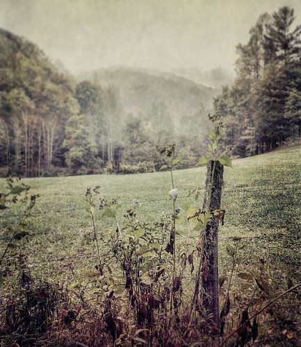
Misty Mountains #iphoneography #landscape #mountains #northcarolina #mist
Hot Srings Oct 08 242
Photo Stream-693
Hot Srings Oct 08 240
{vision}:{outdoor}=0936 {vision}:{sky}=0528
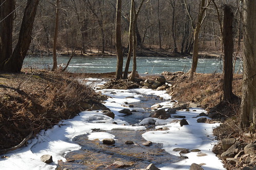
Snowy Creek
d50 wnc pisgahnatlforest hiking nc blueridgemountains waterfalls hickeycreekfalls infrared bw403 luxifurr
Abandonded Forest Service Road in IR
Hot Srings Oct 08 257
Hot Srings Oct 08 236
d50 wnc pisgahnatlforest hiking nc blueridgemountains waterfalls hickeycreekfalls luxifurr
DSC_0036.jpg
Hot Springs Oct 08 179
Paint Creek under starlight
Hot Springs Oct 08 197
Hot Srings Oct 08 228
clouds northcarolina best hotsprings appalachiantrail frenchbroadriver loversleap
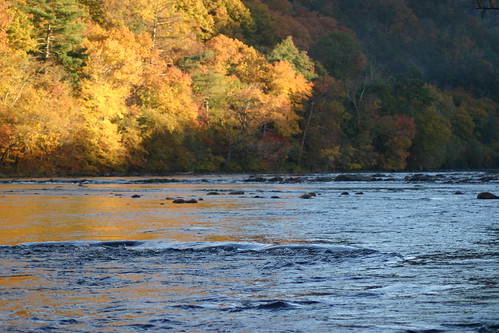
French Broad River and Hot Springs, North Carolina from Lover's Leap on the Appalachian Trail.
Hot Srings Oct 08 232
IMG_1142_Fall.jpg
Hot Springs Oct 08 128