Elevation map of Río Hurtado, Región de Coquimbo, Chile
Location: Chile > Coquimbo Region > Limarí Province >
Longitude: -70.669265
Latitude: -30.385438
Elevation: 2152m / 7060feet
Barometric Pressure: 78KPa
Elevation Map:
Satellite Map:
Related Photos:

022-20090303

021-20090303

020-20090303

Lorea los cables
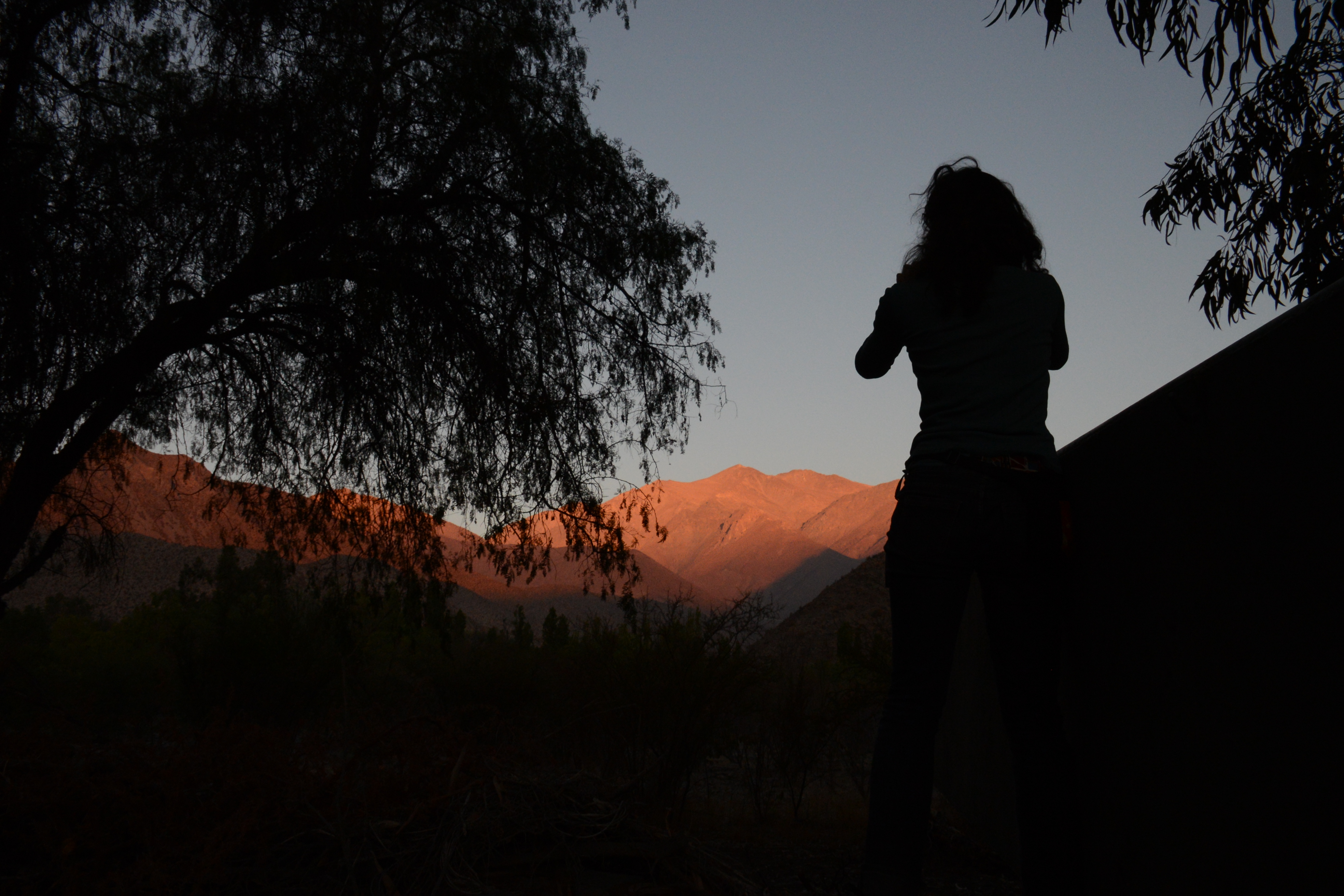
Arriba en la cordillera
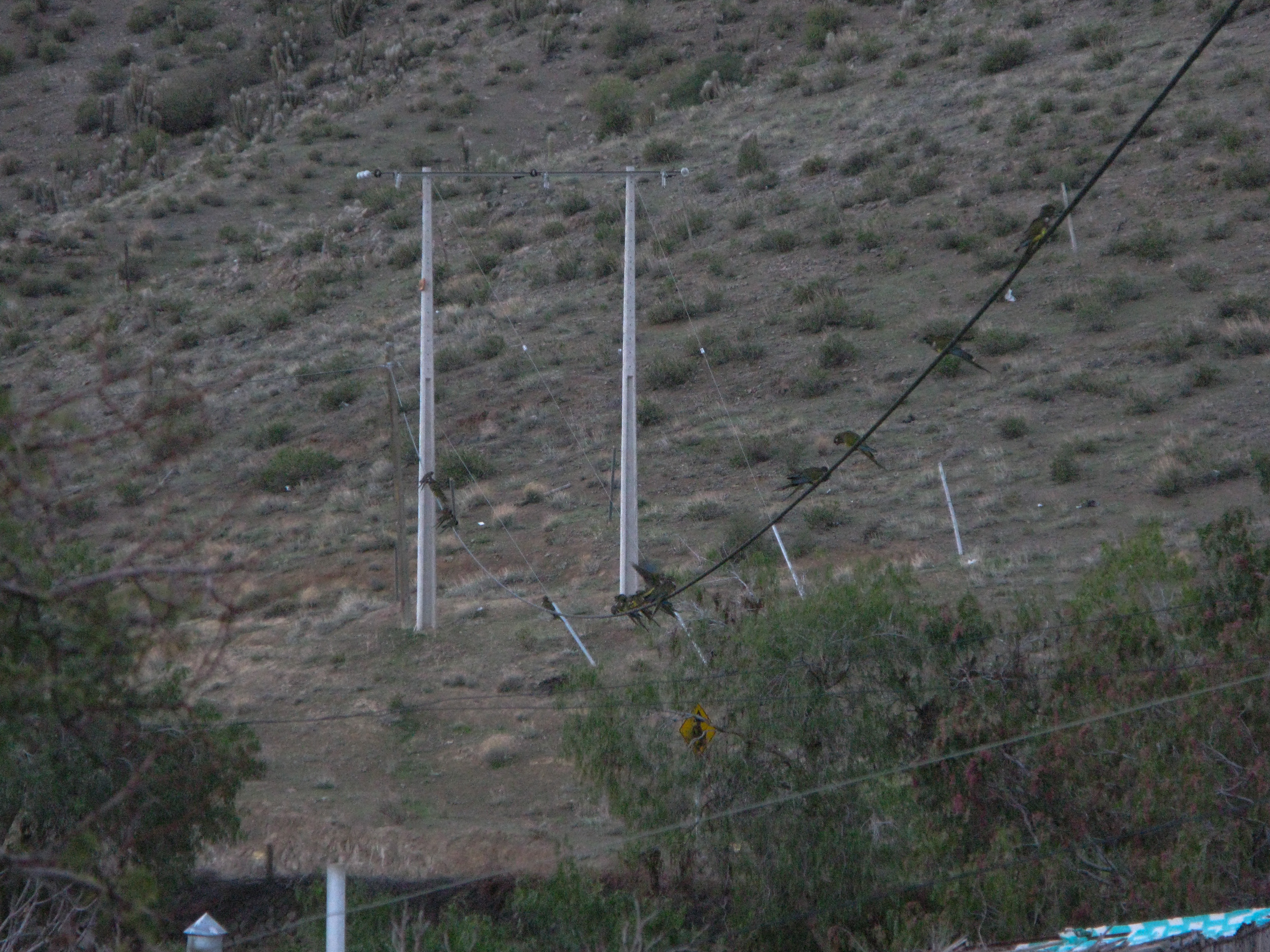
Cyanoliseus patagonus
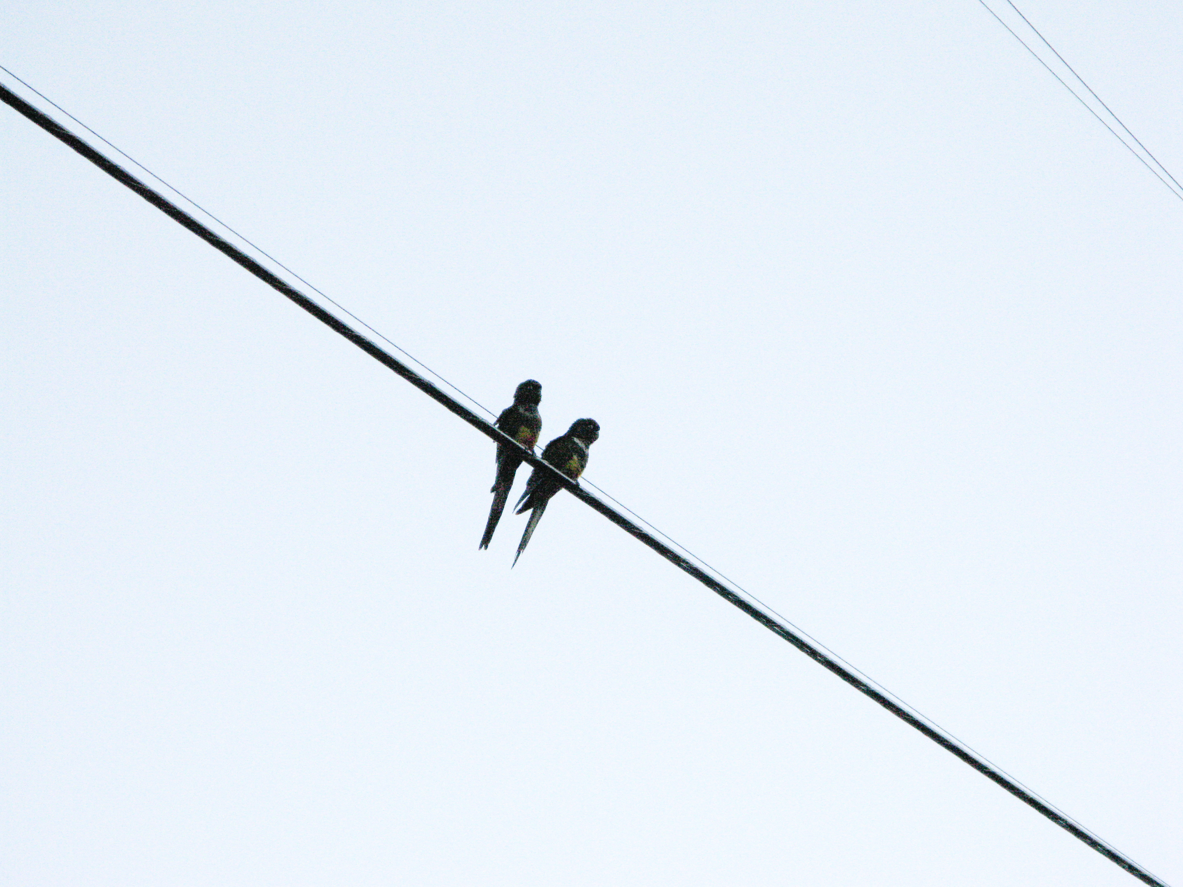
Cyanoliseus patagonus
Topographic Map of Río Hurtado, Región de Coquimbo, Chile
Find elevation by address:

Places in Río Hurtado, Región de Coquimbo, Chile:
Places near Río Hurtado, Región de Coquimbo, Chile:
D-459
El Puerto
Cerro Pachón
Coquimbo Region
Astronomical Observatory Cerro Tololo
Pisco Elqui
El Llano
Andacollo
El Palqui
Limarí Province
Ovalle
Elqui Province
La Serena
La Serena
San Pedro De Atacama
D-, Ovalle, Región de Coquimbo, Chile
Coquimbo
Coquimbo
Recent Searches:
- Elevation of Corso Fratelli Cairoli, 35, Macerata MC, Italy
- Elevation of Tallevast Rd, Sarasota, FL, USA
- Elevation of 4th St E, Sonoma, CA, USA
- Elevation of Black Hollow Rd, Pennsdale, PA, USA
- Elevation of Oakland Ave, Williamsport, PA, USA
- Elevation of Pedrógão Grande, Portugal
- Elevation of Klee Dr, Martinsburg, WV, USA
- Elevation of Via Roma, Pieranica CR, Italy
- Elevation of Tavkvetili Mountain, Georgia
- Elevation of Hartfords Bluff Cir, Mt Pleasant, SC, USA