Elevation map of Limarí Province, Coquimbo Region, Chile
Location: Chile > Coquimbo Region >
Longitude: -71.002231
Latitude: -30.746200
Elevation: 383m / 1257feet
Barometric Pressure: 97KPa
Elevation Map:
Satellite Map:
Related Photos:

uno
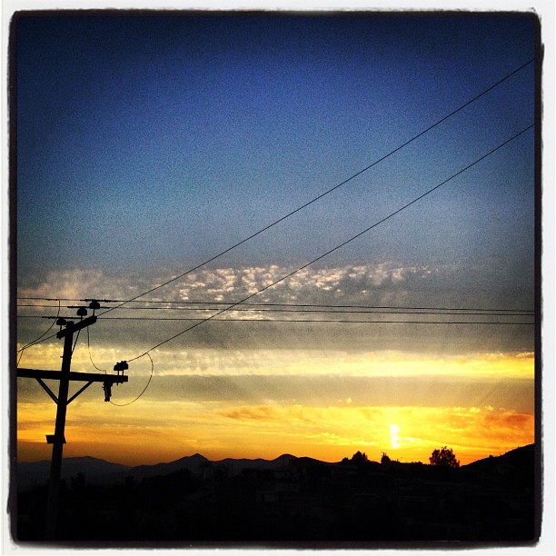
Beautiful sunset again
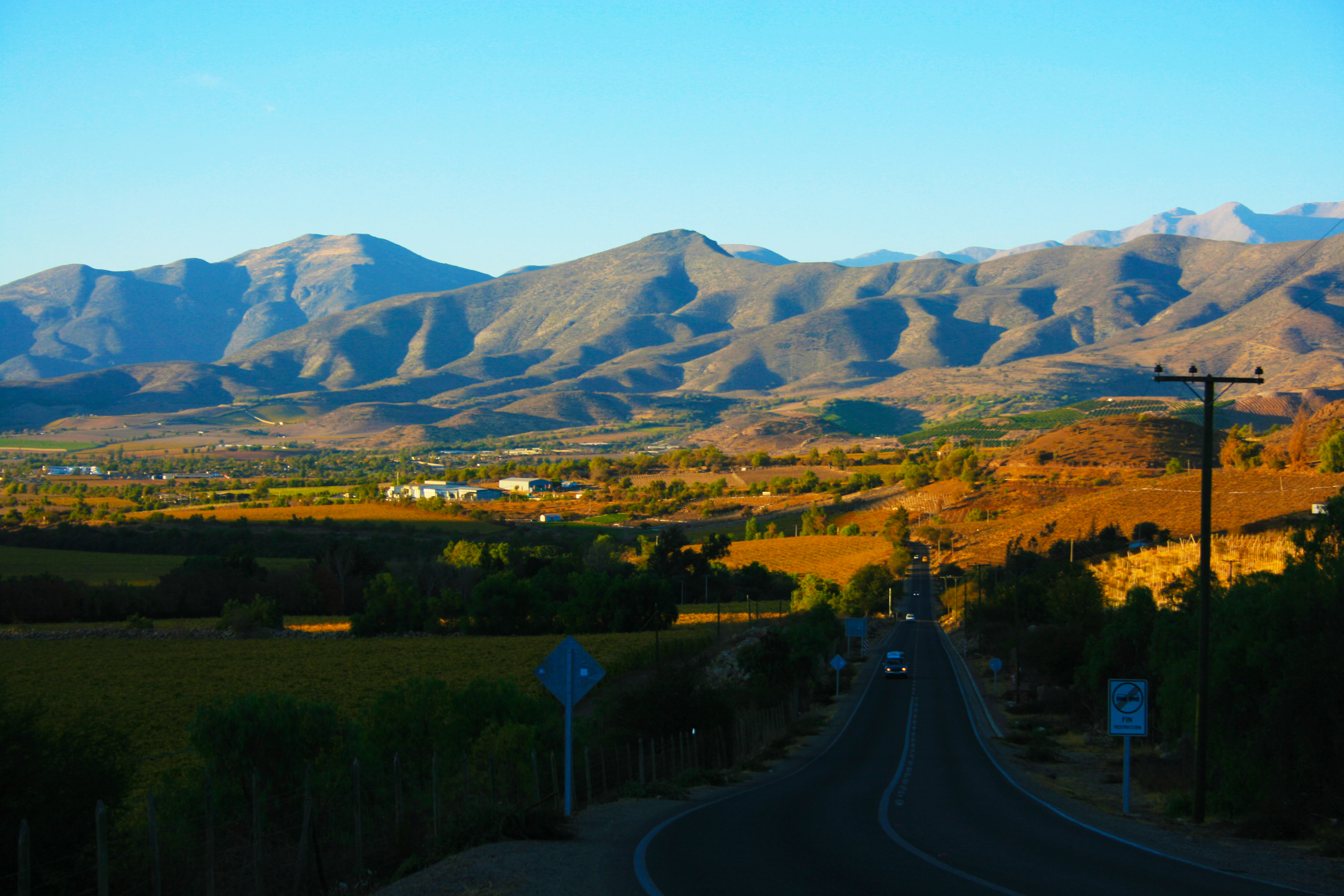
Entre El Tome y El Palqui. Región de Coquimbo. Chile

Cosecha de Porotos (HDR)
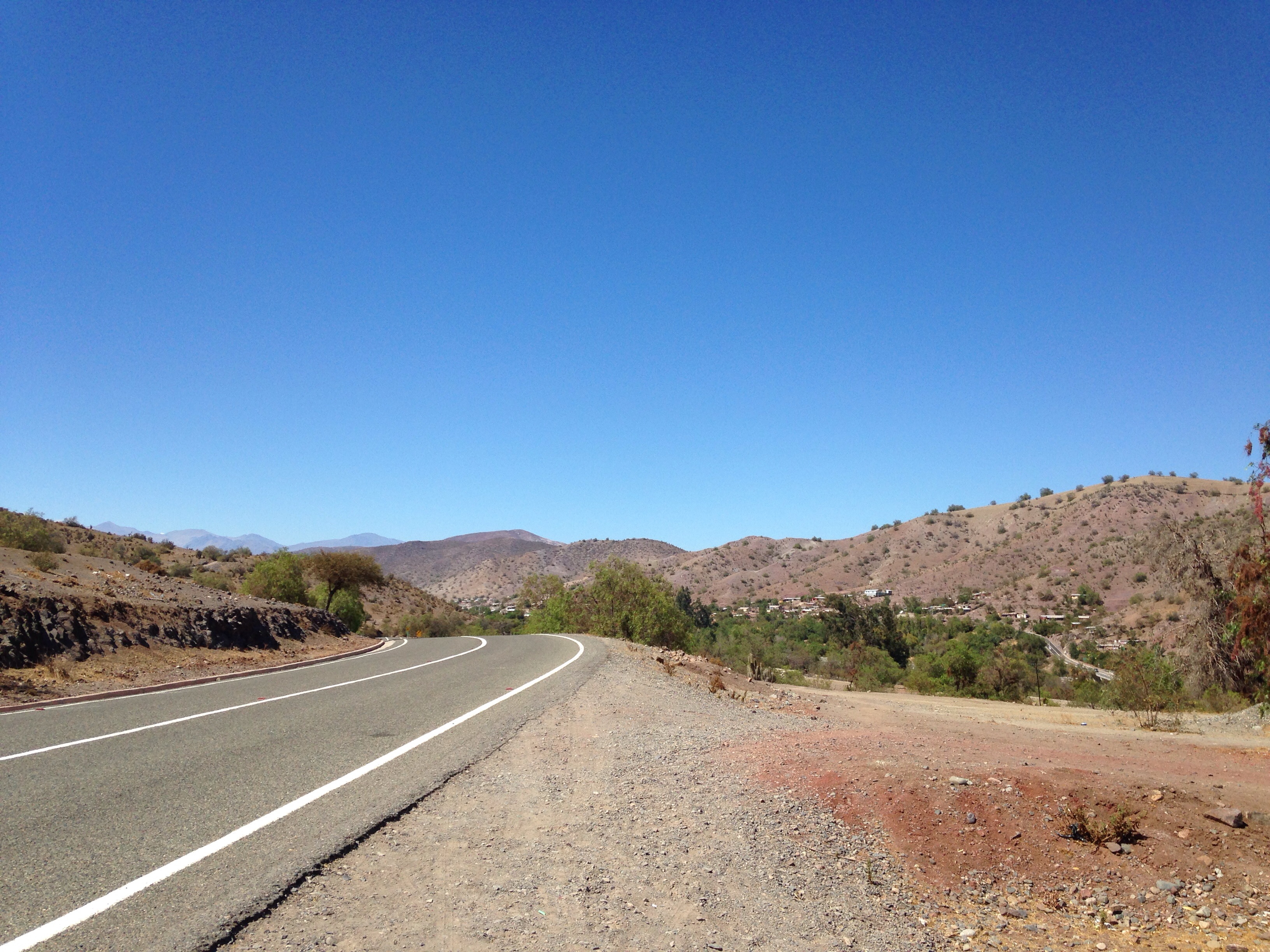
Vacaciones!

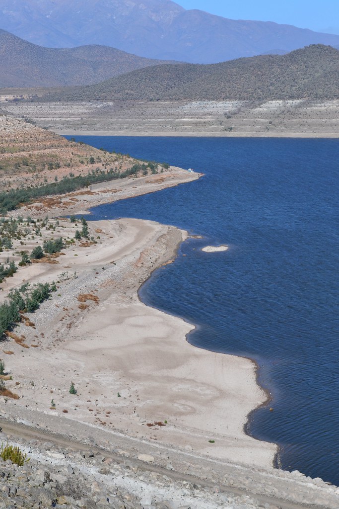
embalse la Paloma - 001

embalse la Paloma - 015

embalse la Paloma - 003
embalse la Paloma - 017

embalse la Paloma - 005

embalse la Paloma - 002

embalse la Paloma - 007
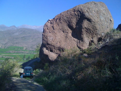
El Sifón - Huiguerillas

embalse la Paloma - 013

embalse la Paloma - 006
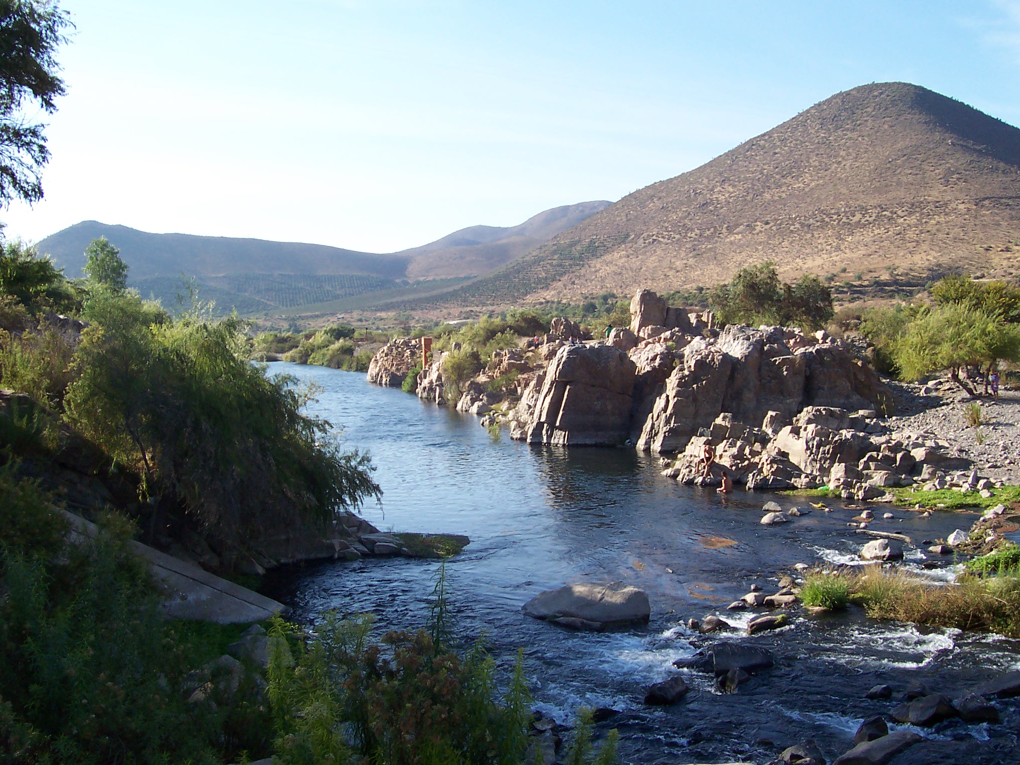
"Piedra del Águila"

embalse la Paloma - 011

embalse la Paloma - 014
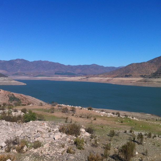
Embalse La Paloma #montepatria

embalse la Paloma - 012

sequía al norte de chile
Topographic Map of Limarí Province, Coquimbo Region, Chile
Find elevation by address:

Places in Limarí Province, Coquimbo Region, Chile:
Places near Limarí Province, Coquimbo Region, Chile:
El Palqui
Ovalle
Coquimbo Region
D-459
El Puerto
D-, Ovalle, Región de Coquimbo, Chile
Río Hurtado
Andacollo
Cerro Pachón
Astronomical Observatory Cerro Tololo
Pisco Elqui
San Pedro De Atacama
Coquimbo
Coquimbo
La Serena
La Serena
El Llano
Elqui Province
Recent Searches:
- Elevation of Corso Fratelli Cairoli, 35, Macerata MC, Italy
- Elevation of Tallevast Rd, Sarasota, FL, USA
- Elevation of 4th St E, Sonoma, CA, USA
- Elevation of Black Hollow Rd, Pennsdale, PA, USA
- Elevation of Oakland Ave, Williamsport, PA, USA
- Elevation of Pedrógão Grande, Portugal
- Elevation of Klee Dr, Martinsburg, WV, USA
- Elevation of Via Roma, Pieranica CR, Italy
- Elevation of Tavkvetili Mountain, Georgia
- Elevation of Hartfords Bluff Cir, Mt Pleasant, SC, USA