Elevation of R.K.C Farm, Tamil Nadu
Location: India > Tamil Nadu > Tiruchirappalli > Eragudi North >
Longitude: 78.484962
Latitude: 11.2060053
Elevation: 162m / 531feet
Barometric Pressure: 99KPa
Elevation Map:
Satellite Map:
Related Photos:
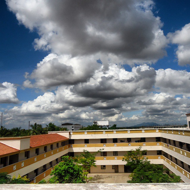
My hostel....

Girl, Tamil Nadu, India

பம்பரம் விளையாட்டு, Gaming Tops, Tamil Nadu, India

Afternoon nap

An everyday challenge

Bucket Seller in a village - India

Visitor Meanwhile
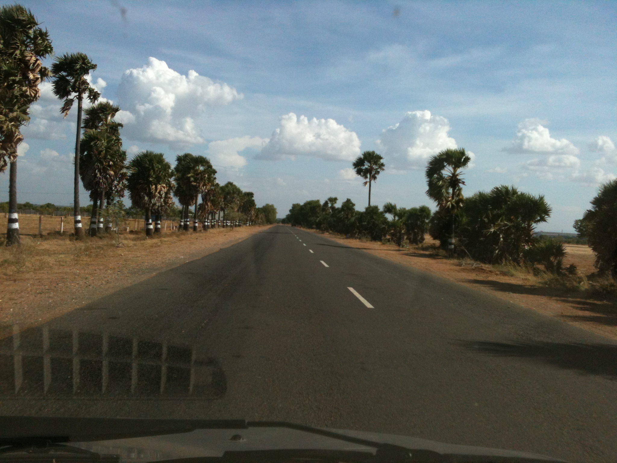
Thuraiyur Musiri state highway, Tamil Nadu, India

Beauty!
Topographic Map of R.K.C Farm, Tamil Nadu
Find elevation by address:

Places near R.K.C Farm, Tamil Nadu:
Eragudi North
சேத்தூர்ப்பட்டி காட்சிமுனை
Sellipalayam
Thuraiyur
Maruvathur Lake
Varaiaathu Odai Waterfalls
ஆனைமலை பெருமாள் கோவில்
Kolli Hills
Perumalmalai Adivaram
Thinnanurnadu
Tamil Nadu
Tiruchirappalli
Thalamalai R.f.
Thalaimalai Hills
Thalamalai Temple
Ladapuram West
Musiri
#26
1/80
Muthugapatty
Recent Searches:
- Elevation of Corso Fratelli Cairoli, 35, Macerata MC, Italy
- Elevation of Tallevast Rd, Sarasota, FL, USA
- Elevation of 4th St E, Sonoma, CA, USA
- Elevation of Black Hollow Rd, Pennsdale, PA, USA
- Elevation of Oakland Ave, Williamsport, PA, USA
- Elevation of Pedrógão Grande, Portugal
- Elevation of Klee Dr, Martinsburg, WV, USA
- Elevation of Via Roma, Pieranica CR, Italy
- Elevation of Tavkvetili Mountain, Georgia
- Elevation of Hartfords Bluff Cir, Mt Pleasant, SC, USA