Elevation of Eragudi North, Tamil Nadu, India
Location: India > Tamil Nadu > Tiruchirappalli >
Longitude: 78.4837189
Latitude: 11.2124002
Elevation: 165m / 541feet
Barometric Pressure: 99KPa
Elevation Map:
Satellite Map:
Related Photos:

My hostel....

Visitor Meanwhile

Girl, Tamil Nadu, India

பம்பரம் விளையாட்டு, Gaming Tops, Tamil Nadu, India

Afternoon nap

An everyday challenge

Bucket Seller in a village - India
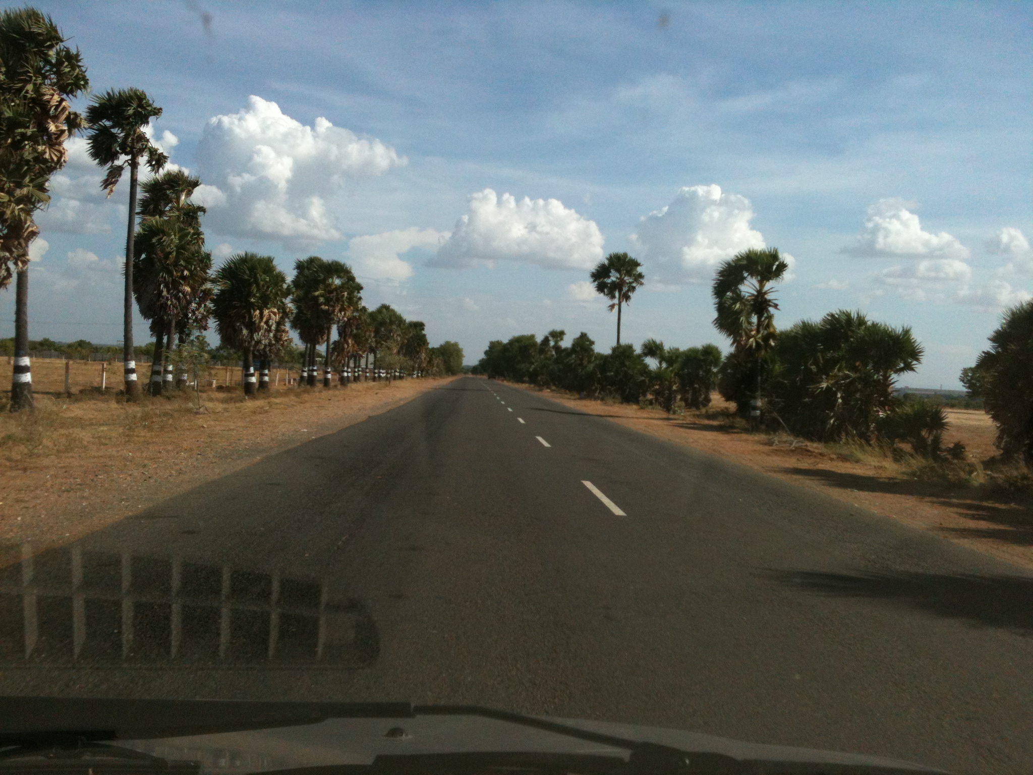
Thuraiyur Musiri state highway, Tamil Nadu, India

Beauty!
Topographic Map of Eragudi North, Tamil Nadu, India
Find elevation by address:

Places in Eragudi North, Tamil Nadu, India:
Places near Eragudi North, Tamil Nadu, India:
R.k.c Farm
சேத்தூர்ப்பட்டி காட்சிமுனை
Sellipalayam
Maruvathur Lake
Thuraiyur
Varaiaathu Odai Waterfalls
ஆனைமலை பெருமாள் கோவில்
Kolli Hills
Thinnanurnadu
Perumalmalai Adivaram
Tamil Nadu
Tiruchirappalli
Thalamalai R.f.
Thalaimalai Hills
Thalamalai Temple
Ladapuram West
1/80
Muthugapatty
Musiri
#26
Recent Searches:
- Elevation of Corso Fratelli Cairoli, 35, Macerata MC, Italy
- Elevation of Tallevast Rd, Sarasota, FL, USA
- Elevation of 4th St E, Sonoma, CA, USA
- Elevation of Black Hollow Rd, Pennsdale, PA, USA
- Elevation of Oakland Ave, Williamsport, PA, USA
- Elevation of Pedrógão Grande, Portugal
- Elevation of Klee Dr, Martinsburg, WV, USA
- Elevation of Via Roma, Pieranica CR, Italy
- Elevation of Tavkvetili Mountain, Georgia
- Elevation of Hartfords Bluff Cir, Mt Pleasant, SC, USA