Elevation of Råbjerg Mile Vej, Skagen, Denmark
Location: Denmark > Frederikshavn Municipality > Skagen >
Longitude: 10.4092313
Latitude: 57.6546098
Elevation: 16m / 52feet
Barometric Pressure: 101KPa
Elevation Map:
Satellite Map:
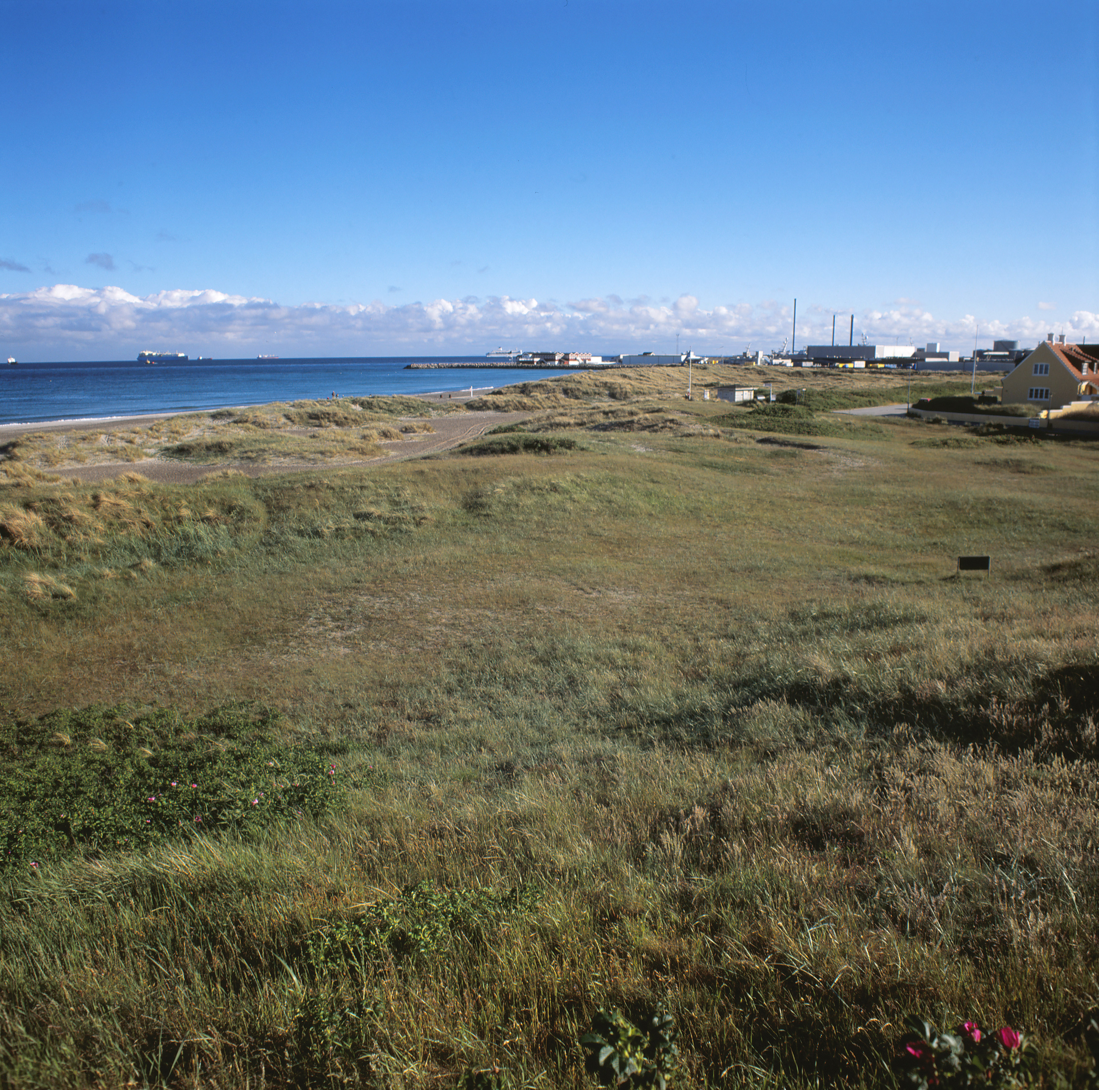
Related Photos:
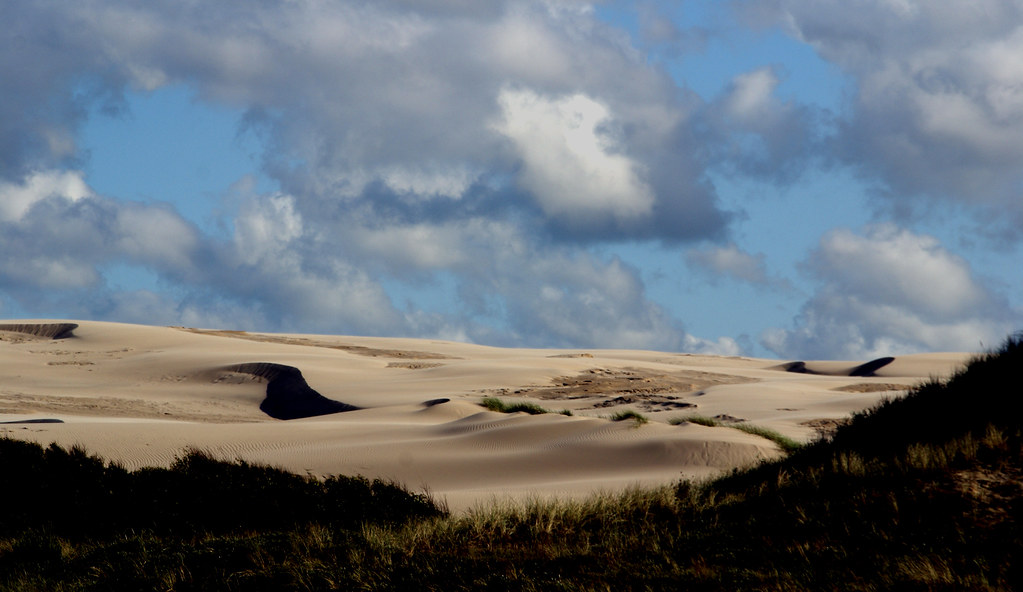
Danish Sahara

Ocean view

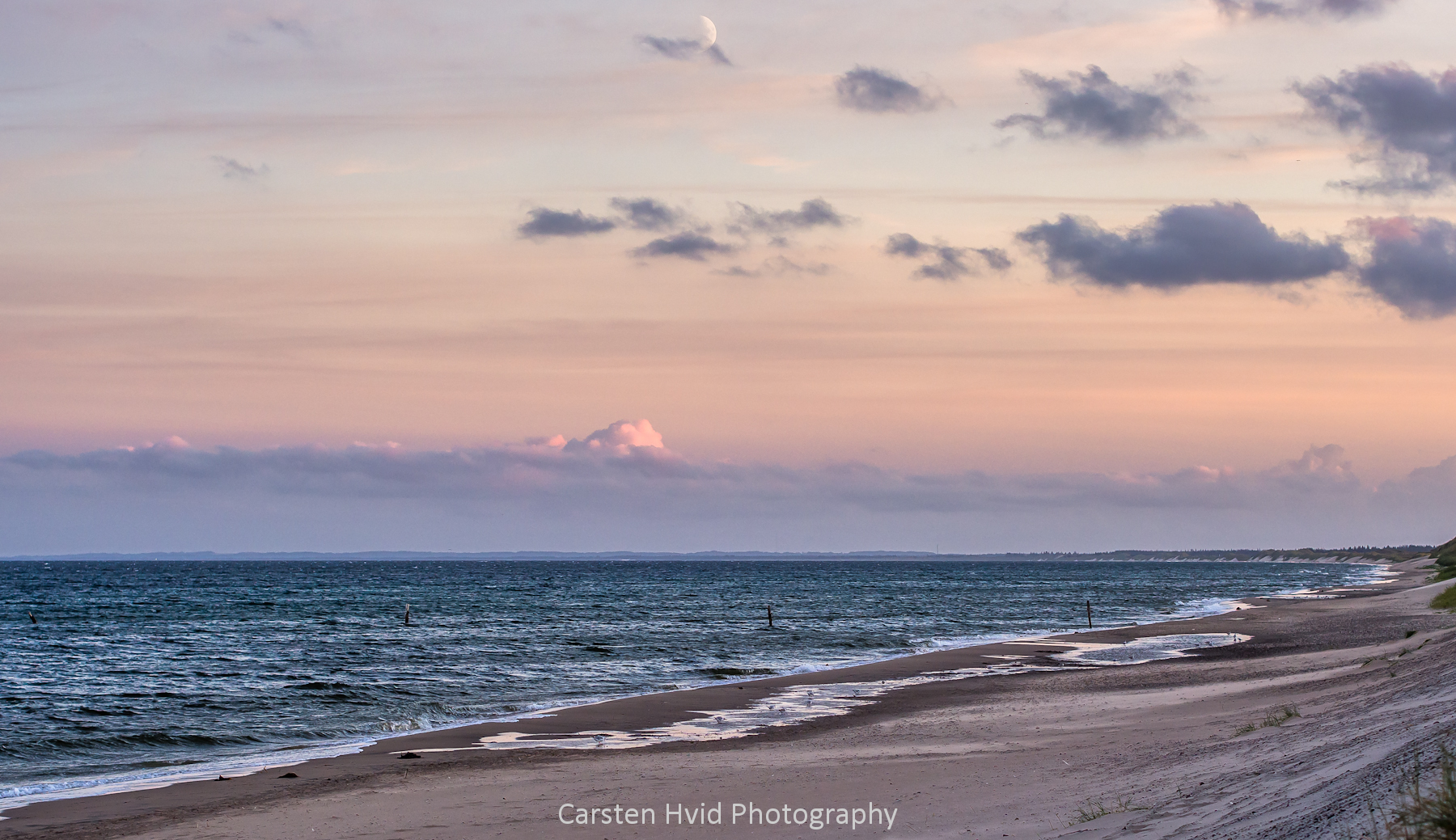
No. 1019 Afterglow

Into The Horizon
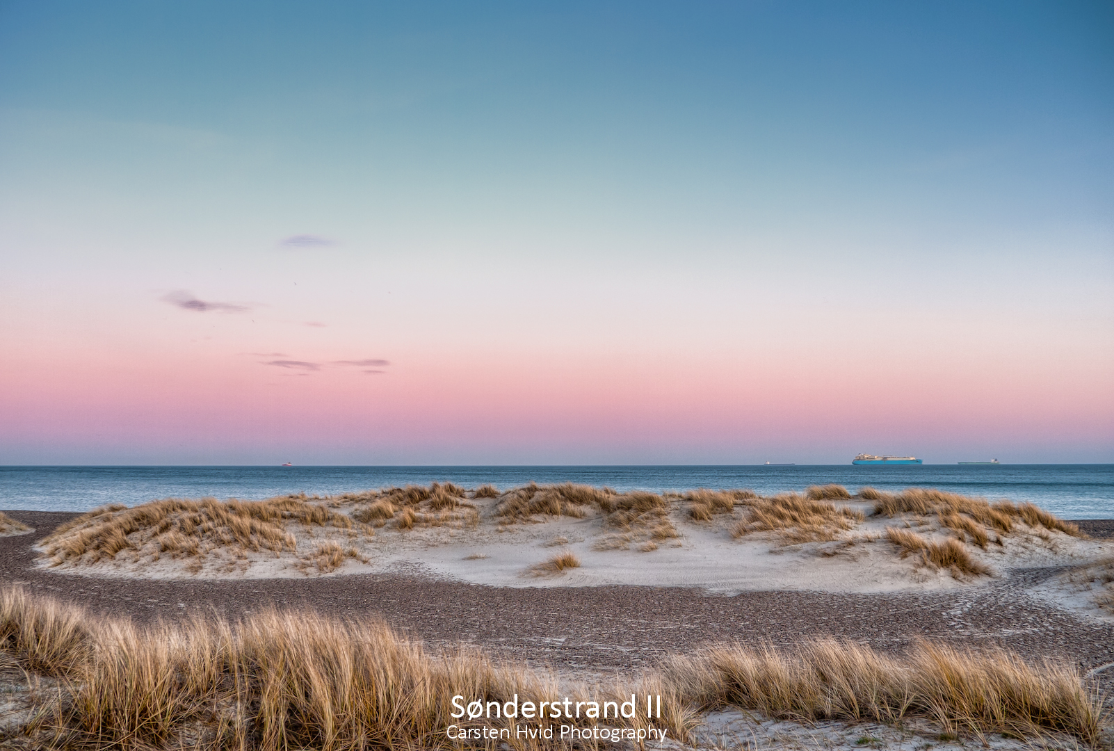
Sønderstrand II
Ålbæk Bugt

Højen Kirkegård
**
**

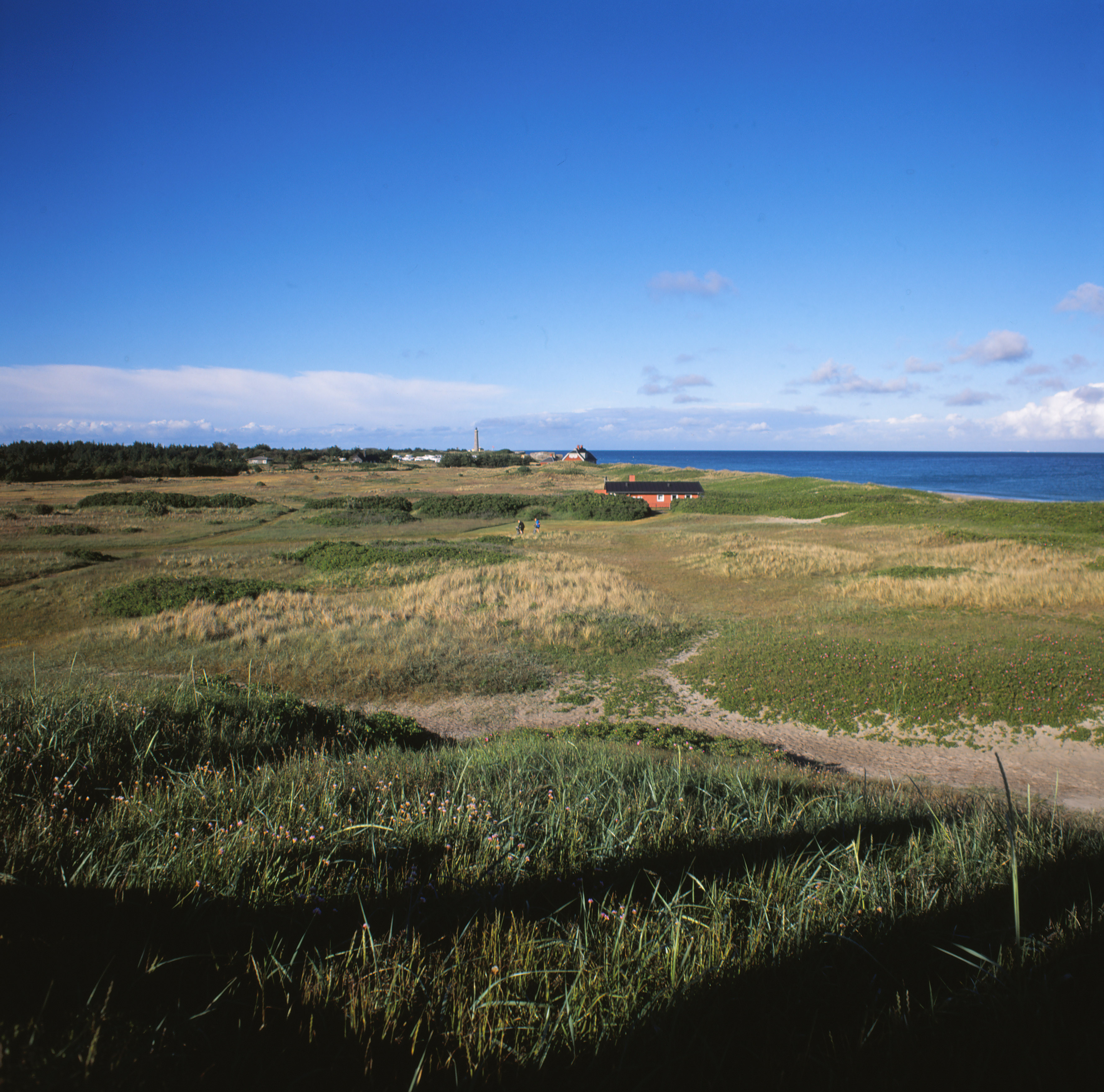
View from the Hill

View from Kikkerbakken #1

View from Kikkerbakken #2

View from Kikkerbakken #3
Topographic Map of Råbjerg Mile Vej, Skagen, Denmark
Find elevation by address:

Places near Råbjerg Mile Vej, Skagen, Denmark:
Tversted Lakes
Bindslev
Frederikshavn Municipality
Frederikshavn
Kragholmen 2
Hjørring Municipality
Willemoesvej 2
Hirtshals
Hjørring
Harken
Brønderslev Municipality
Dronninglund
Slotsgade 8
Vrå
Kirkevej 73
Vodskov
Aalborg Øst
Norresundby
Arkildsdal
Teisensvej 13, 3 Th
Recent Searches:
- Elevation of Corso Fratelli Cairoli, 35, Macerata MC, Italy
- Elevation of Tallevast Rd, Sarasota, FL, USA
- Elevation of 4th St E, Sonoma, CA, USA
- Elevation of Black Hollow Rd, Pennsdale, PA, USA
- Elevation of Oakland Ave, Williamsport, PA, USA
- Elevation of Pedrógão Grande, Portugal
- Elevation of Klee Dr, Martinsburg, WV, USA
- Elevation of Via Roma, Pieranica CR, Italy
- Elevation of Tavkvetili Mountain, Georgia
- Elevation of Hartfords Bluff Cir, Mt Pleasant, SC, USA