Elevation of Kragholmen 2, Frederikshavn, Denmark
Location: Denmark > Frederikshavn Municipality > Frederikshavn >
Longitude: 10.540798
Latitude: 57.439857
Elevation: 3m / 10feet
Barometric Pressure: 101KPa
Elevation Map:
Satellite Map:
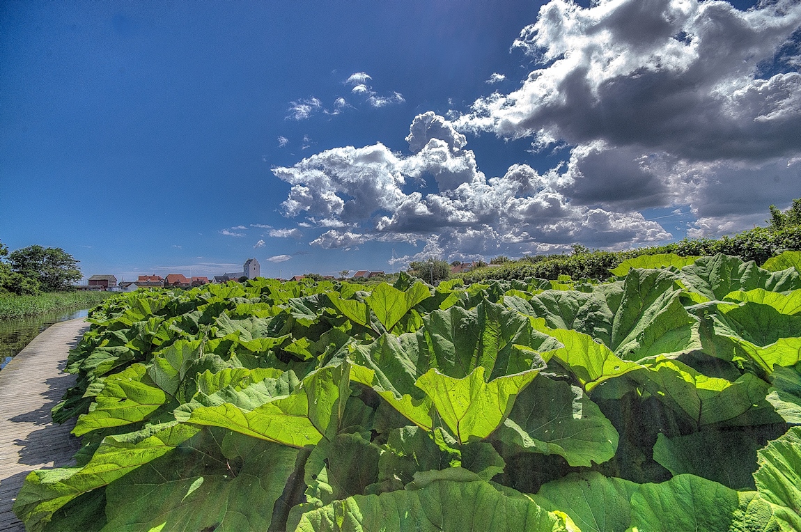
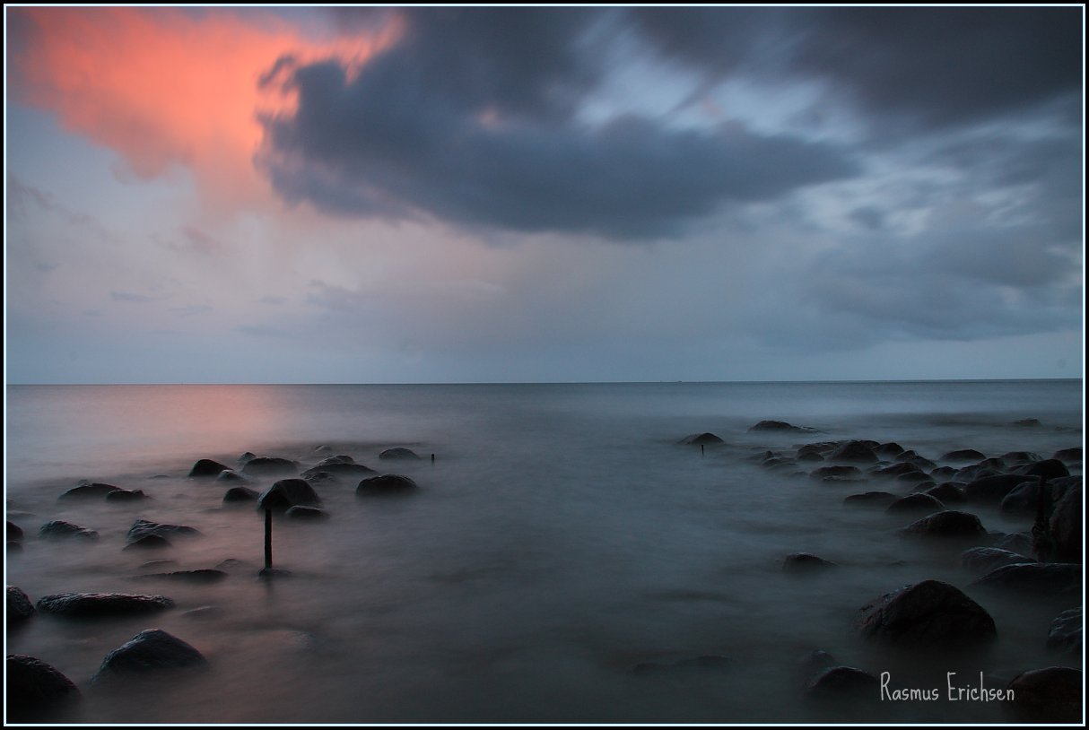
Related Photos:

Karup Kirke
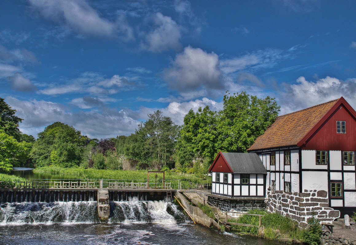
Sæby set fra åen
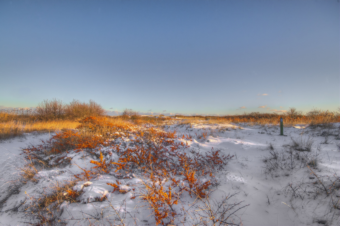
havtorn i sne
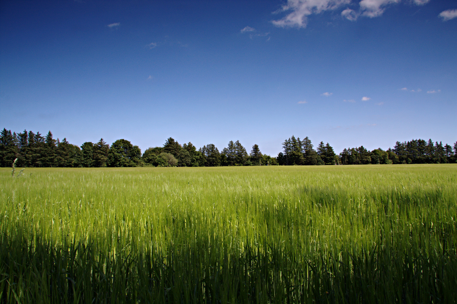
Summer Field
The mist
Today's perspective

Into the light
uvejr over Gedebjerg
Frederikshavn set fra Sæby Havn
Bangsbo Museum
Sæby Å

malkekøer
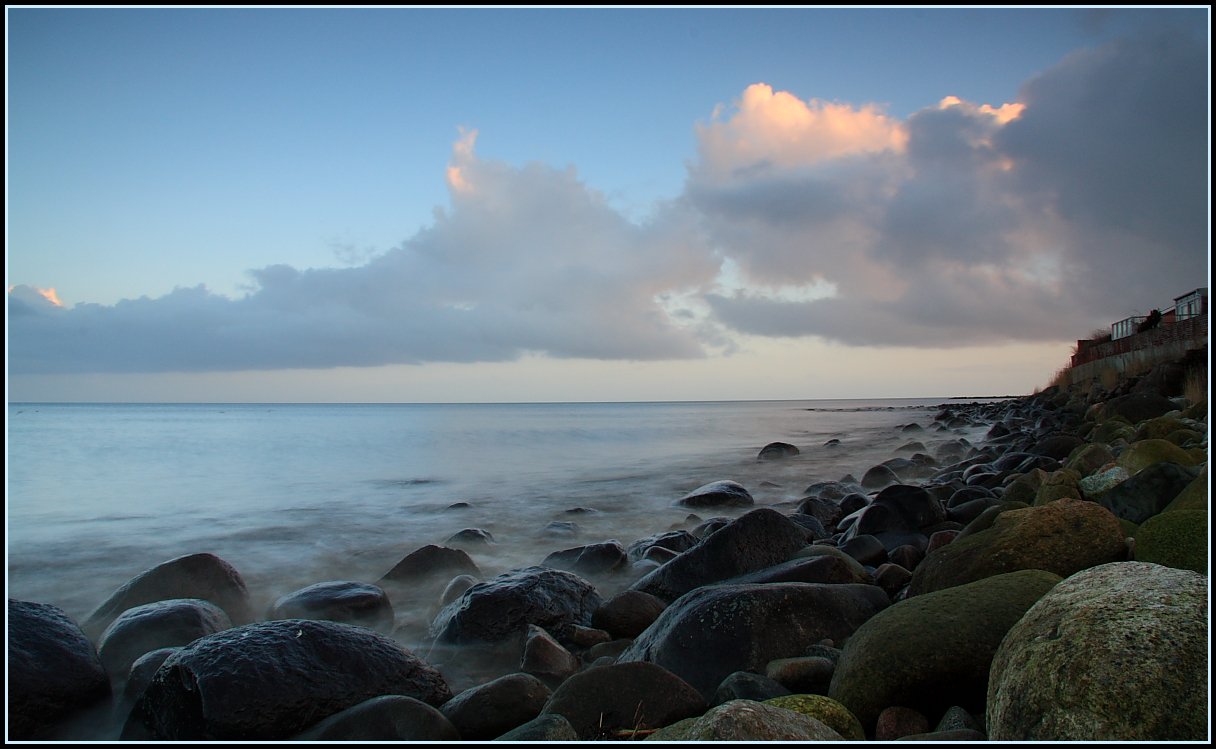
Sæby Strand
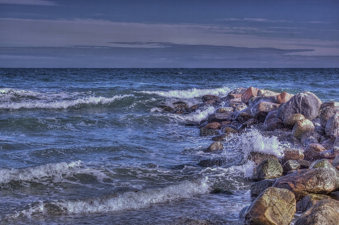
Between the rocks

View from the harbour in Sæby.
Topographic Map of Kragholmen 2, Frederikshavn, Denmark
Find elevation by address:

Places near Kragholmen 2, Frederikshavn, Denmark:
Frederikshavn
Frederikshavn Municipality
Råbjerg Mile Vej
Tversted Lakes
Bindslev
Dronninglund
Slotsgade 8
Brønderslev Municipality
Hjørring Municipality
Hjørring
Harken
Kirkevej 73
Willemoesvej 2
Hirtshals
Vrå
Vodskov
Aalborg Øst
Gudumvej 108
Aalborg Municipality
Norresundby
Recent Searches:
- Elevation of Corso Fratelli Cairoli, 35, Macerata MC, Italy
- Elevation of Tallevast Rd, Sarasota, FL, USA
- Elevation of 4th St E, Sonoma, CA, USA
- Elevation of Black Hollow Rd, Pennsdale, PA, USA
- Elevation of Oakland Ave, Williamsport, PA, USA
- Elevation of Pedrógão Grande, Portugal
- Elevation of Klee Dr, Martinsburg, WV, USA
- Elevation of Via Roma, Pieranica CR, Italy
- Elevation of Tavkvetili Mountain, Georgia
- Elevation of Hartfords Bluff Cir, Mt Pleasant, SC, USA