Elevation of Quincy, IA, USA
Location: United States > Iowa > Adams County >
Longitude: -94.748451
Latitude: 41.0425541
Elevation: 375m / 1230feet
Barometric Pressure: 97KPa
Elevation Map:
Satellite Map:
Related Photos:
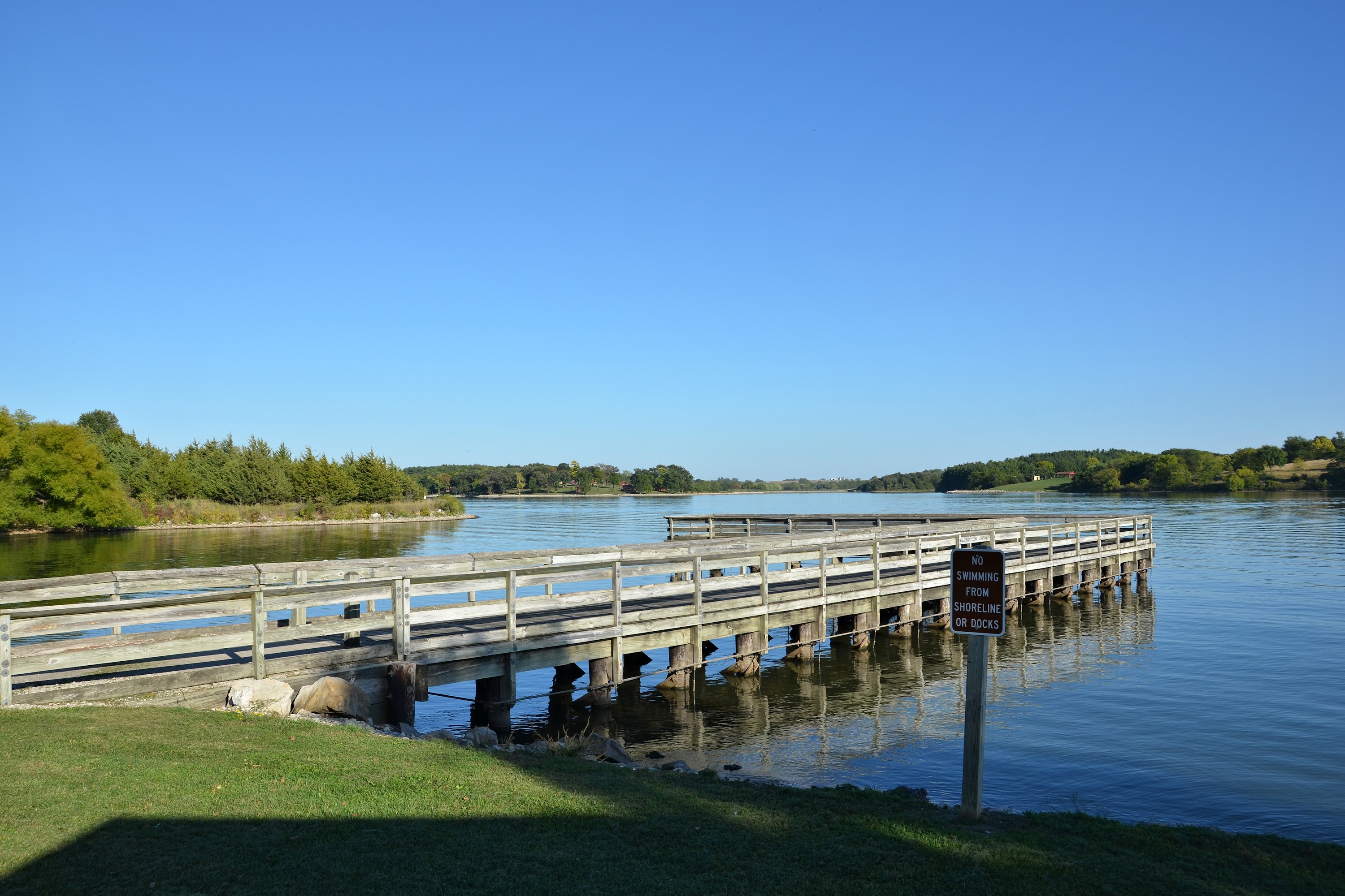
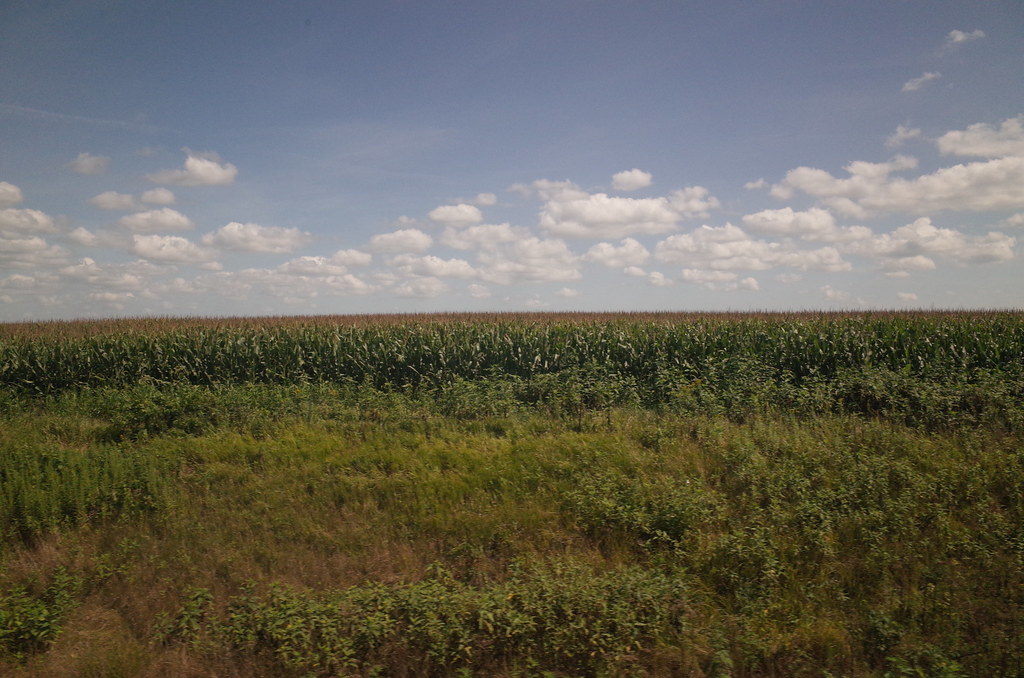
100113-997F
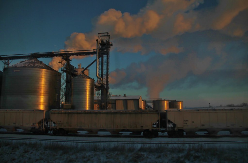
Trains from the train - a little more window music (1)
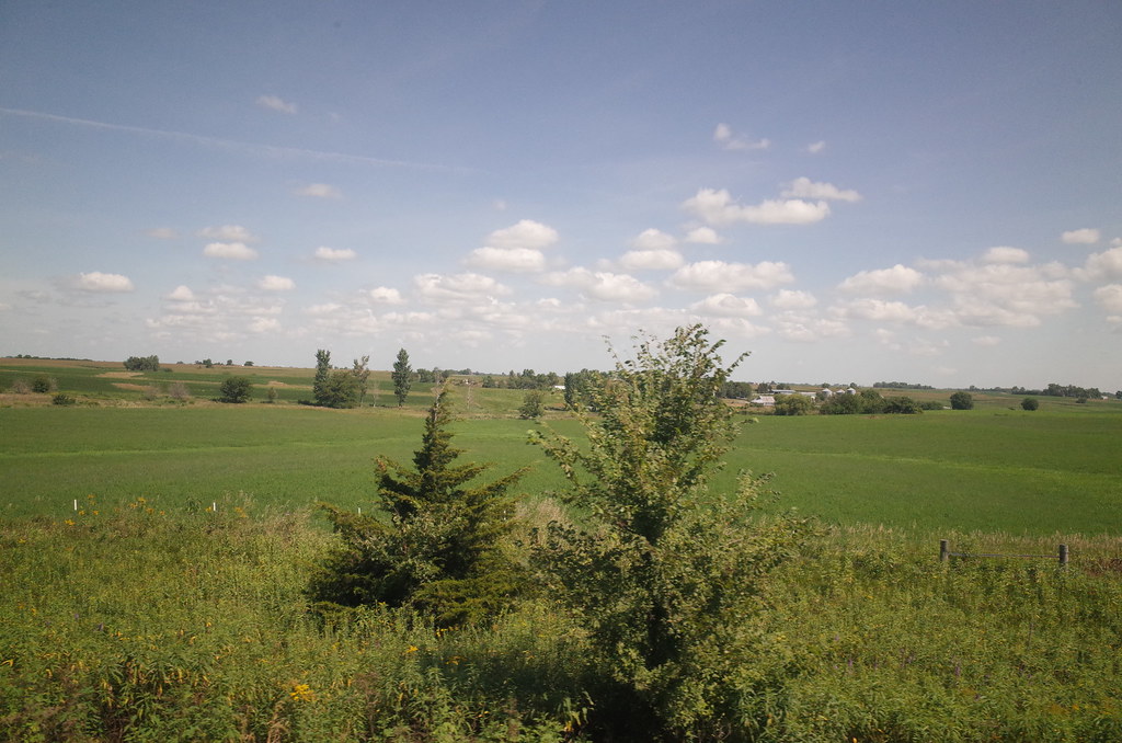
RI038143.JPG
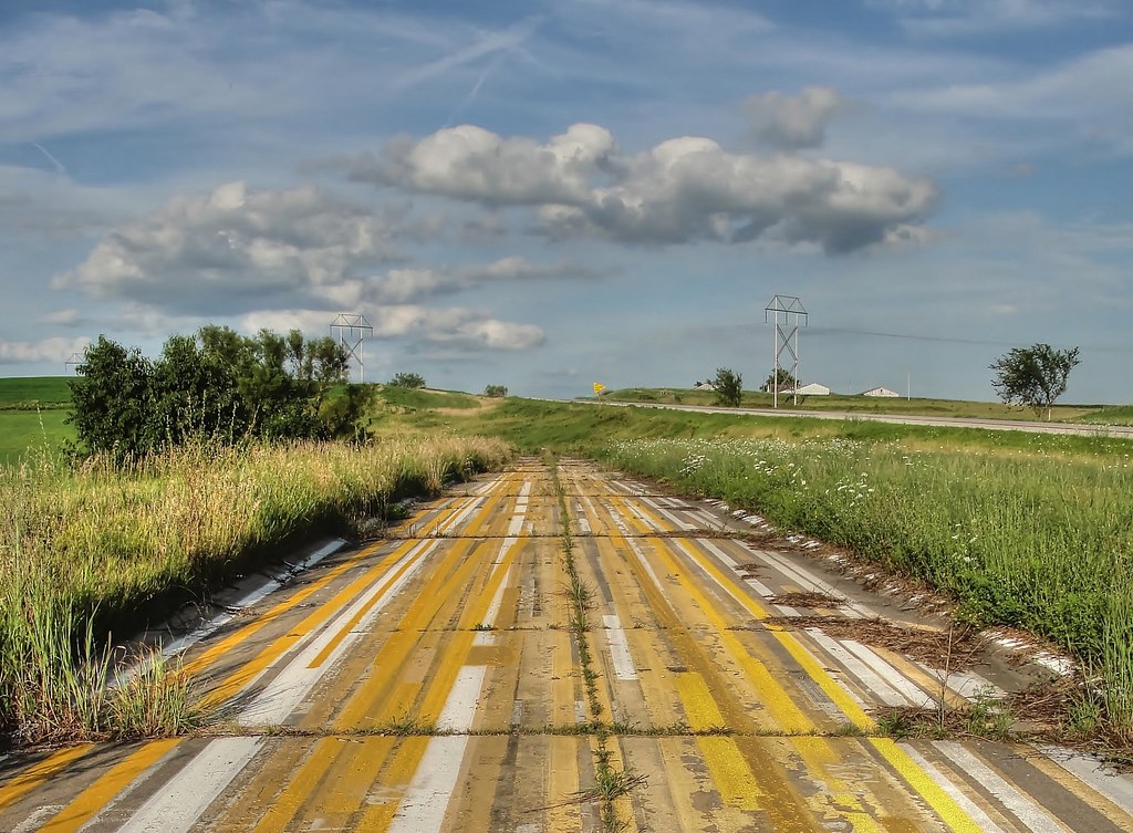
That's a stretch . . .
RI038146.JPG
100113-000F
100113-999F

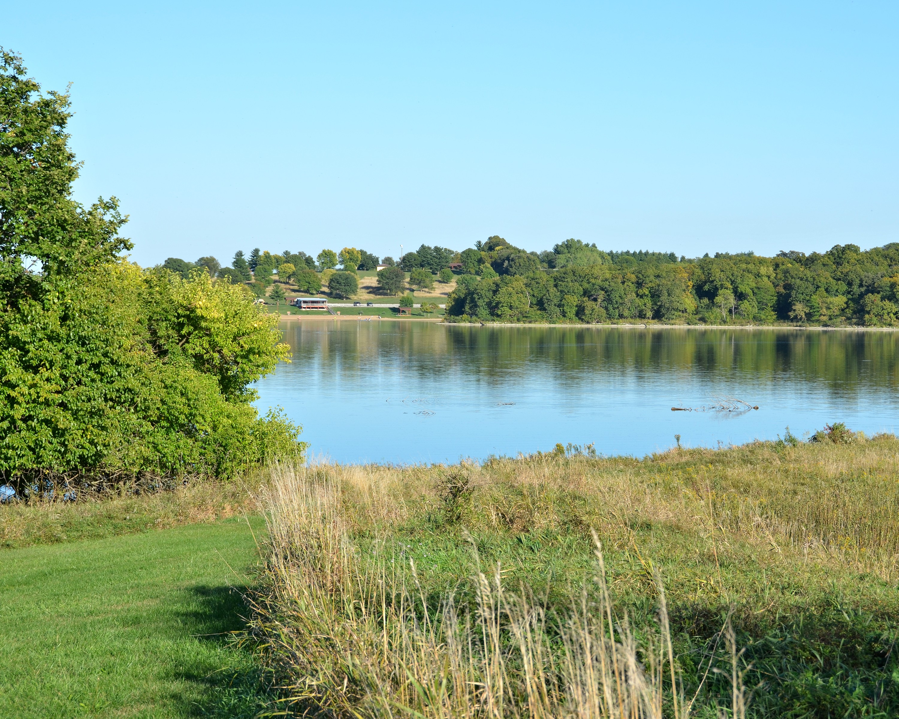
RAGBRAI 2016
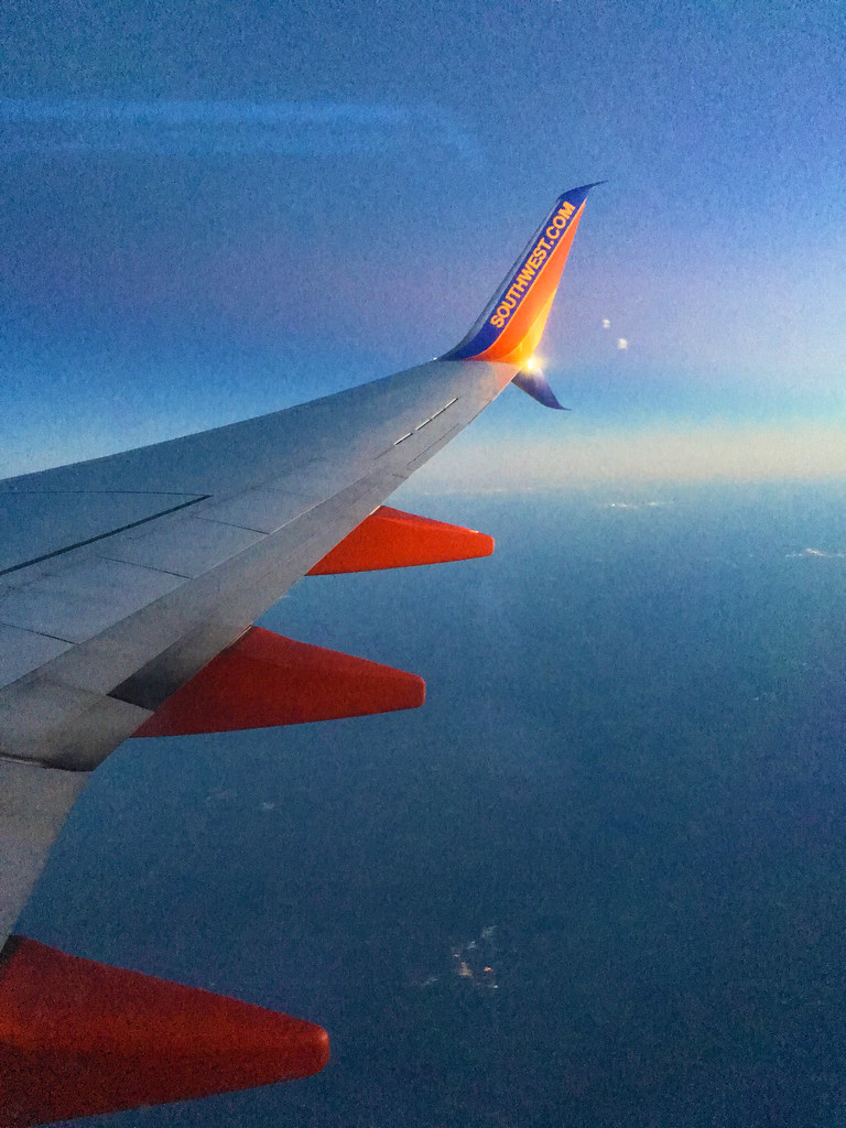
Southwest Airlines – Boeing 737-8H4 N8601C

Storefront Buildings (Prescott, Iowa)

American Legion Post #544 (Prescott, Iowa)
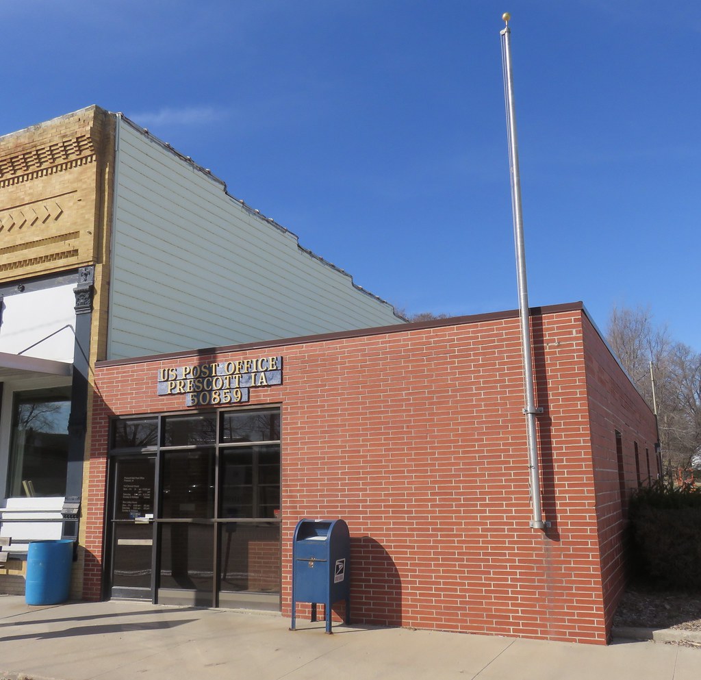
Post Office 50859 (Prescott, Iowa)
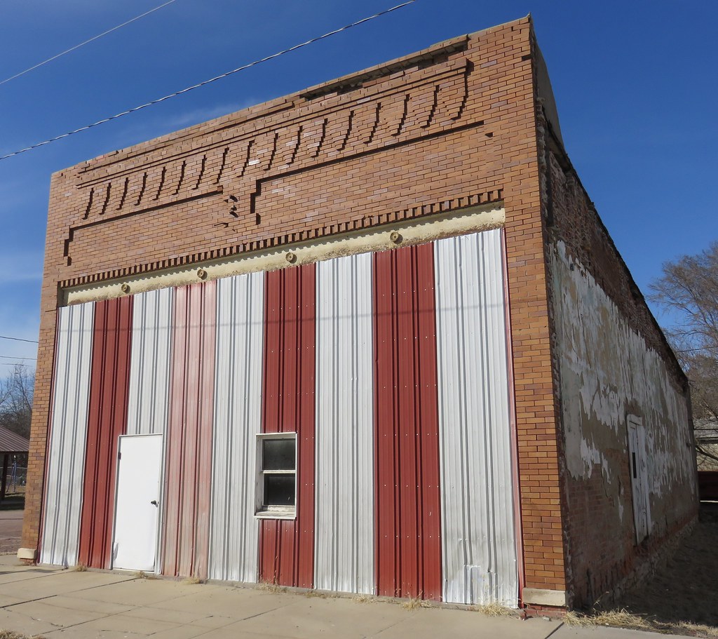
Old Storefront Building (Prescott, Iowa)

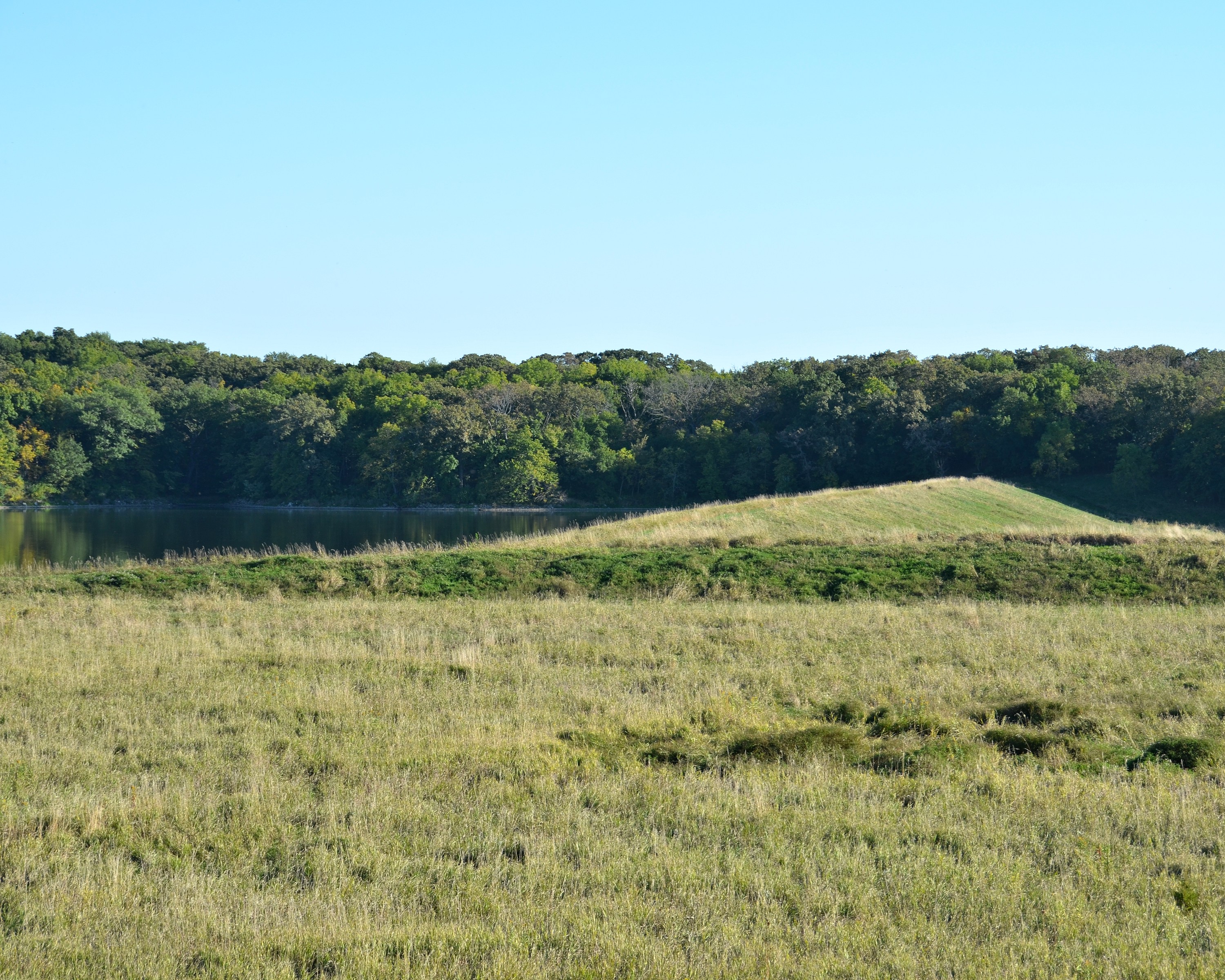
RAGBRAI 2016

RAGBRAI 2016

RAGBRAI 2016

RAGBRAI 2016

RAGBRAI 2016

RAGBRAI 2016

RAGBRAI 2016

RAGBRAI 2016

RAGBRAI 2016

RAGBRAI 2016

RAGBRAI 2016

RAGBRAI 2016

RAGBRAI 2016

RAGBRAI 2016
RAGBRAI 2016
Topographic Map of Quincy, IA, USA
Find elevation by address:

Places in Quincy, IA, USA:
Places near Quincy, IA, USA:
Corning
Adams County
Commercial St, Corning, IA, USA
Carl Pl, Corning, IA, USA
IA-, Corning, IA, USA
IA-, Corning, IA, USA
Holt
Lenox
W Ohio St, Lenox, IA, USA
205 S Main St
Villisca
1788 Idaho Ave
Sharpsburg
Main St, Sharpsburg, IA, USA
East
S Avenue
Taylor County
Platte
Monroe Avenue Ext'd
3611 S Ave #74
Recent Searches:
- Elevation of Corso Fratelli Cairoli, 35, Macerata MC, Italy
- Elevation of Tallevast Rd, Sarasota, FL, USA
- Elevation of 4th St E, Sonoma, CA, USA
- Elevation of Black Hollow Rd, Pennsdale, PA, USA
- Elevation of Oakland Ave, Williamsport, PA, USA
- Elevation of Pedrógão Grande, Portugal
- Elevation of Klee Dr, Martinsburg, WV, USA
- Elevation of Via Roma, Pieranica CR, Italy
- Elevation of Tavkvetili Mountain, Georgia
- Elevation of Hartfords Bluff Cir, Mt Pleasant, SC, USA