Elevation of Commercial St, Corning, IA, USA
Location: United States > Iowa >
Longitude: -94.804091
Latitude: 40.9655883
Elevation: 342m / 1122feet
Barometric Pressure: 97KPa
Elevation Map:
Satellite Map:
Related Photos:
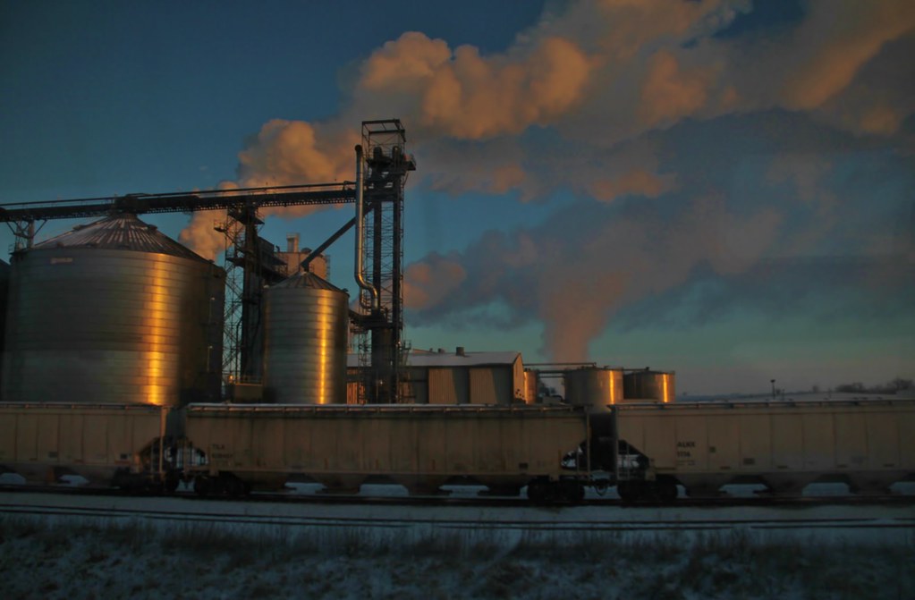
Trains from the train - a little more window music (1)
100113-997F
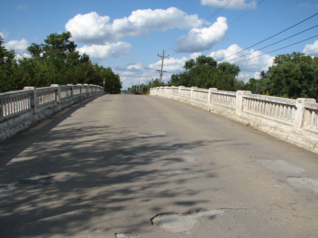
Deck View- Villisca Bridge
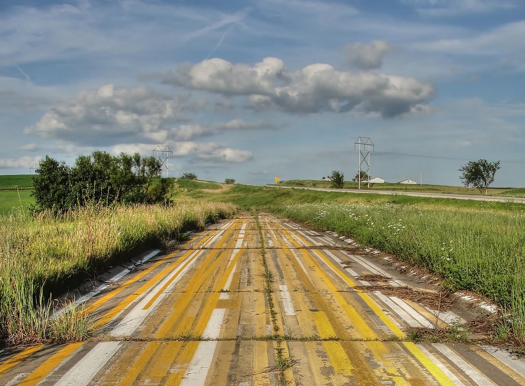
That's a stretch . . .

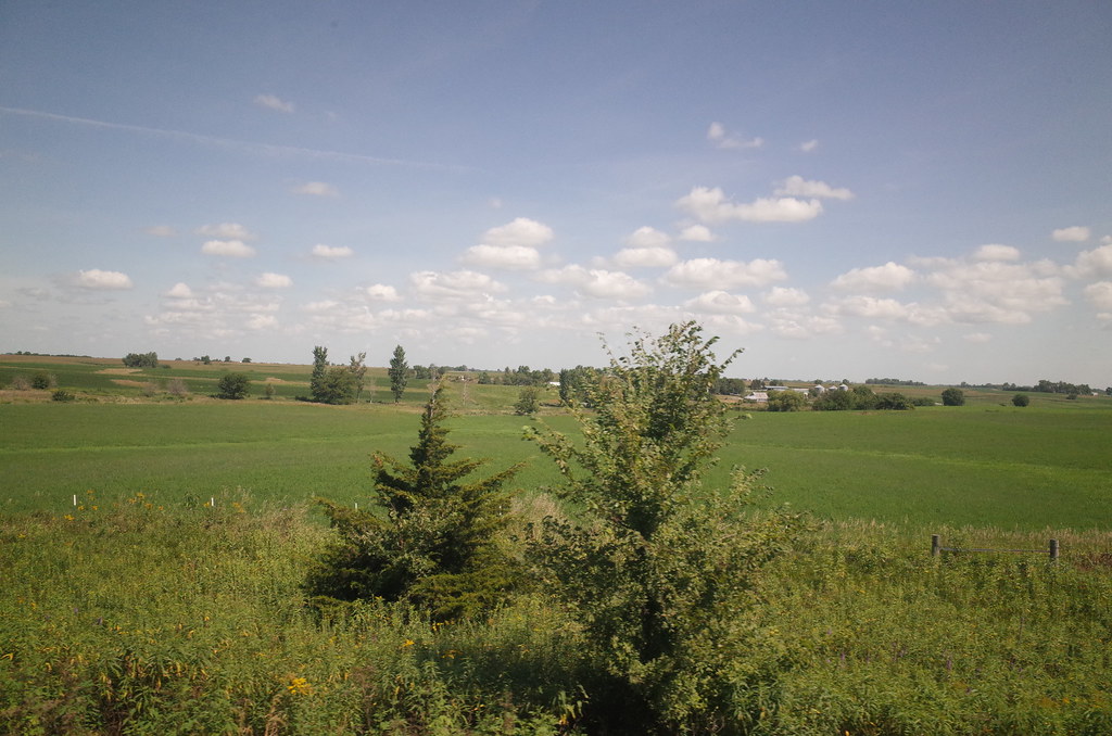
summer landscape
RI038143.JPG
100113-000F
RI038146.JPG
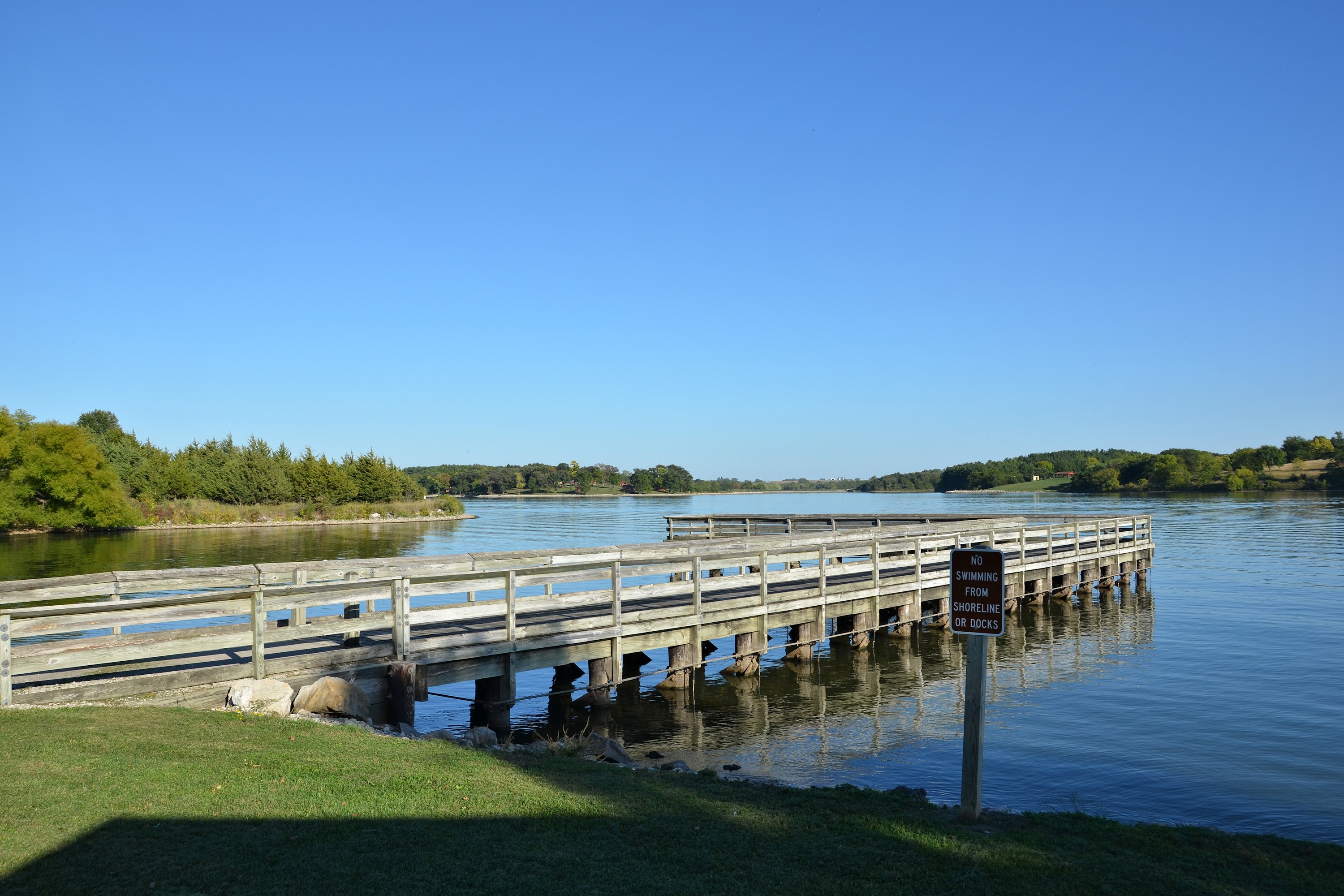
Villisca Iowa, Fremont County IA
100113-999F
Topographic Map of Commercial St, Corning, IA, USA
Find elevation by address:

Places near Commercial St, Corning, IA, USA:
Corning
Quincy
IA-, Corning, IA, USA
IA-, Corning, IA, USA
Holt
Adams County
Villisca
1788 Idaho Ave
East
Carl Pl, Corning, IA, USA
3611 S Ave #74
S Avenue
Sharpsburg
Main St, Sharpsburg, IA, USA
Taylor County
Lenox
W Ohio St, Lenox, IA, USA
205 S Main St
Platte
Noble
Recent Searches:
- Elevation of Corso Fratelli Cairoli, 35, Macerata MC, Italy
- Elevation of Tallevast Rd, Sarasota, FL, USA
- Elevation of 4th St E, Sonoma, CA, USA
- Elevation of Black Hollow Rd, Pennsdale, PA, USA
- Elevation of Oakland Ave, Williamsport, PA, USA
- Elevation of Pedrógão Grande, Portugal
- Elevation of Klee Dr, Martinsburg, WV, USA
- Elevation of Via Roma, Pieranica CR, Italy
- Elevation of Tavkvetili Mountain, Georgia
- Elevation of Hartfords Bluff Cir, Mt Pleasant, SC, USA