Elevation of Qualla, NC, USA
Location: United States > North Carolina > Jackson County > Qualla >
Longitude: -83.32293
Latitude: 35.4353763
Elevation: 617m / 2024feet
Barometric Pressure: 94KPa
Elevation Map:
Satellite Map:
Related Photos:

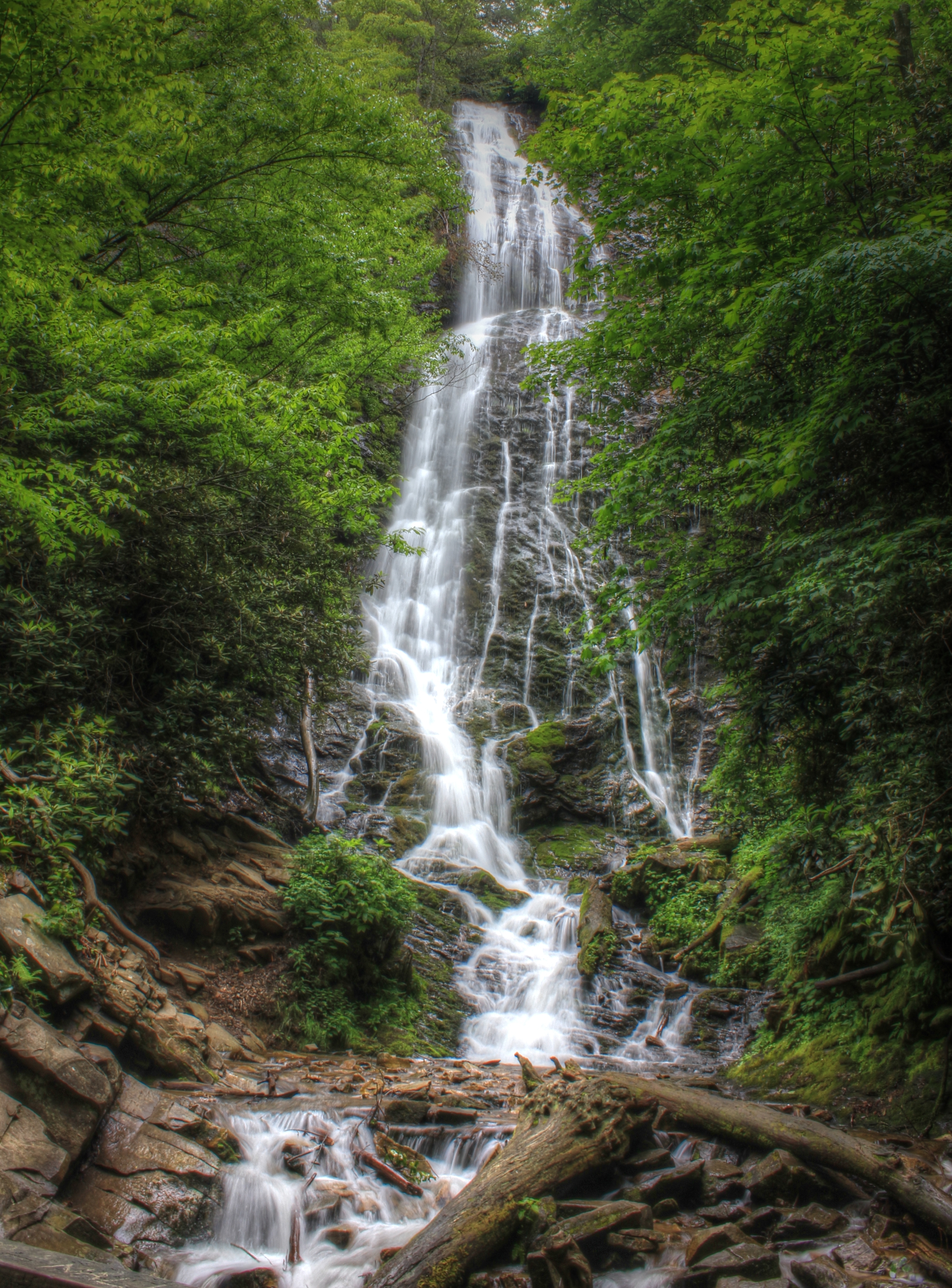
Mingo Falls

Smoky Waters

Mountain Farm Barn
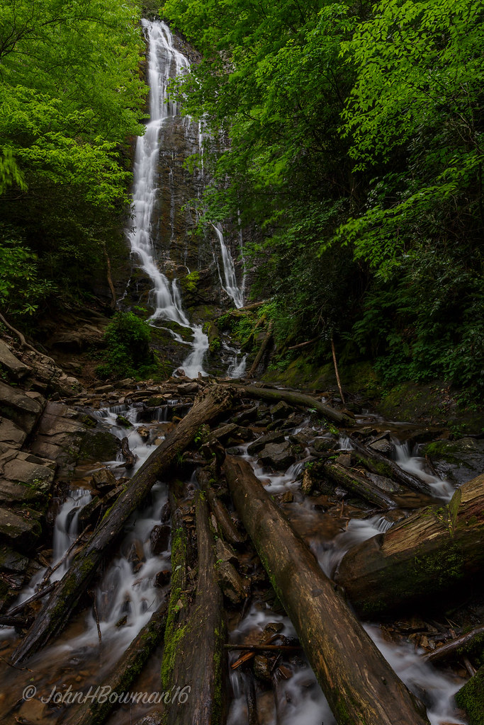
Mingo Falls

Mingus Mill

Mingus Mill Falls
Blue Ridge Parkway Roadside

The Most Photographed Courthouse In North Carolina
Woodfin Valley - EOS_00870

Mingo Falls

The Hand of Mingo
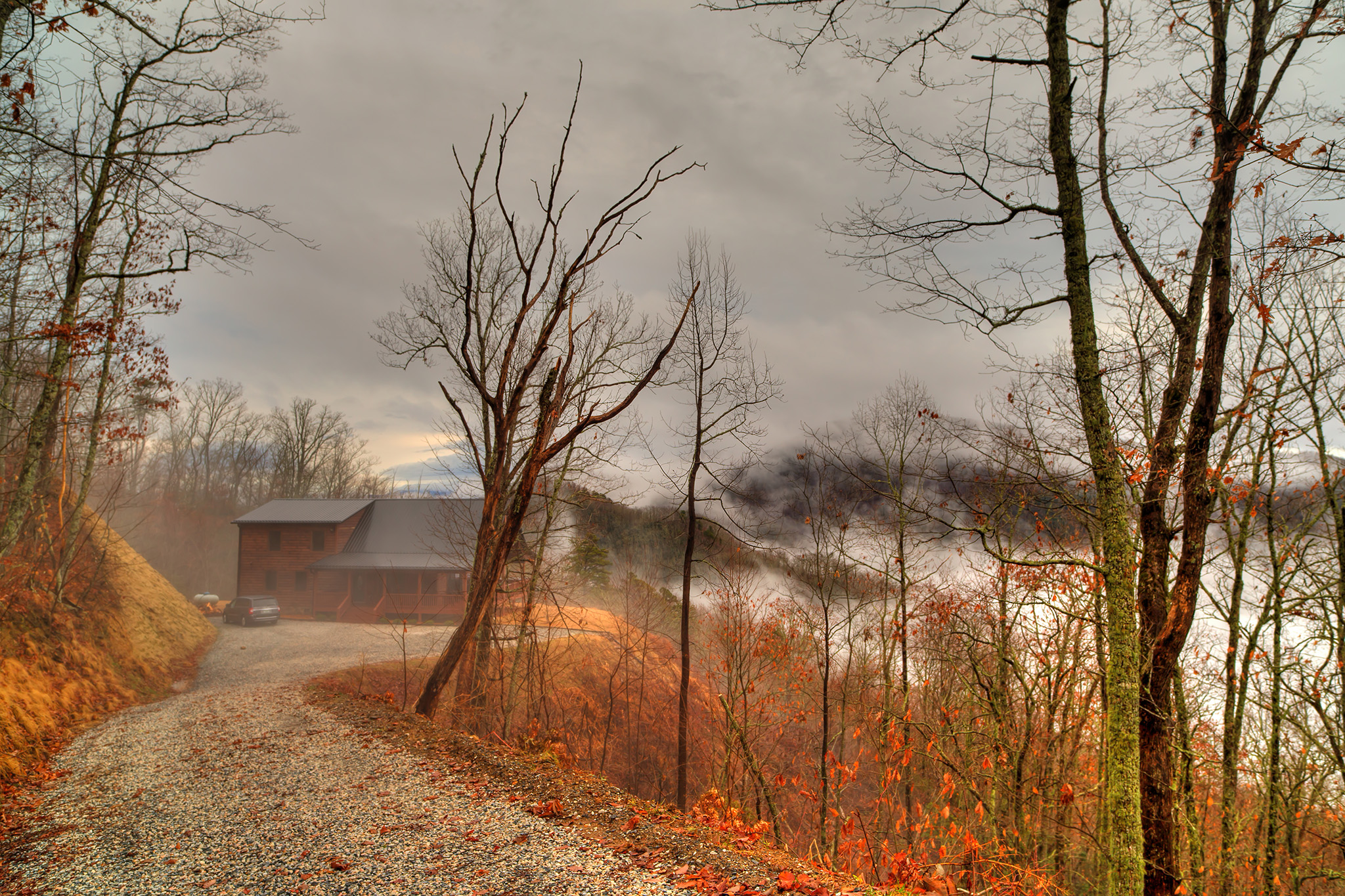
The Cabin Above The Clouds

Mingus Mill

Tom's Branch Falls

Mingo Falls

Pinhole View of the Oconaluftee River

Mingus Mill
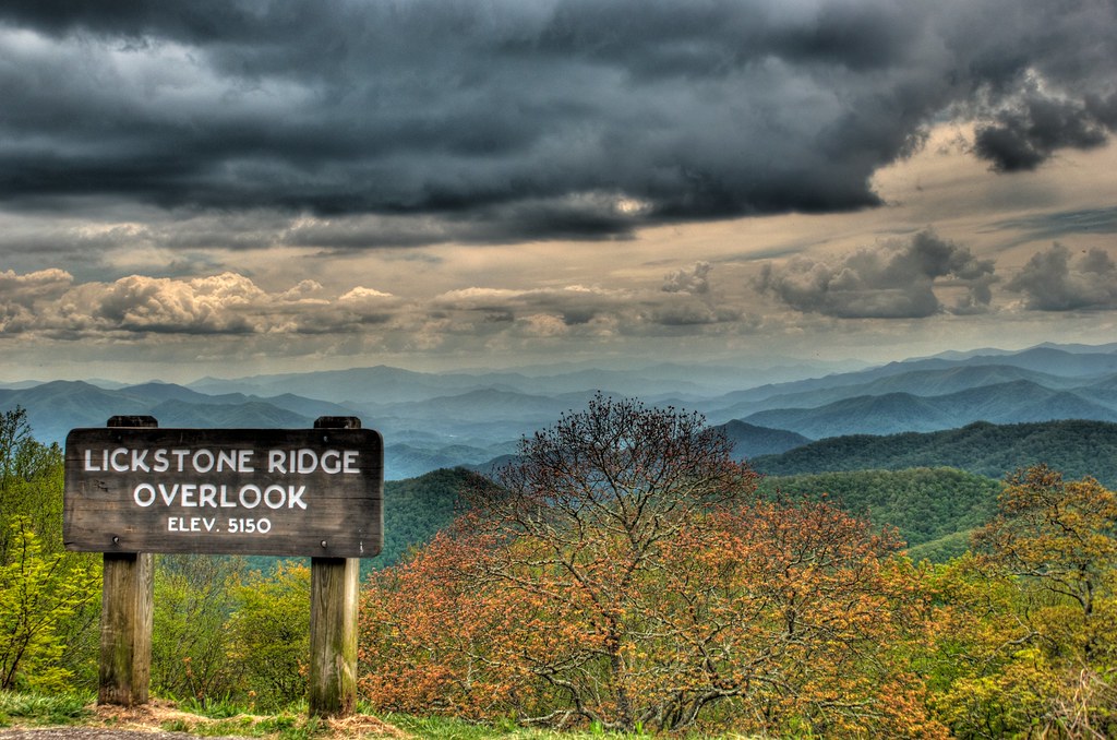
Lickstone Ridge Overlook in HDR

Mingus Mill

IMG_6527-20090508

Time to say farewell/ to these misty mountain views/ leaves will turn brown soon. #haiku
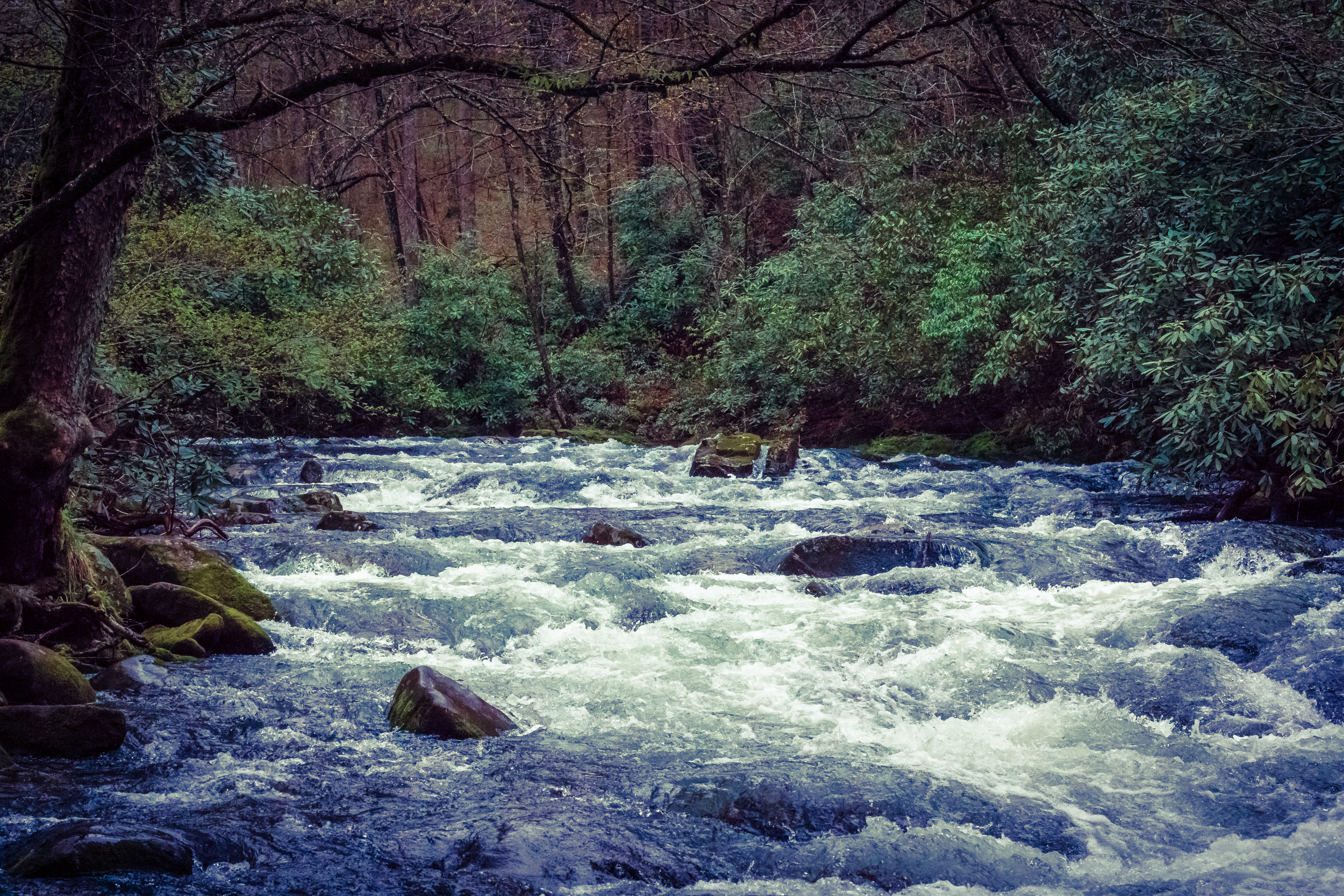
River Dance
Outlook on Life

Barn at Mountain Farm Museum
Misty morning. Great Smoky Mountain National Park

Waterfall at th Old Creek Campground

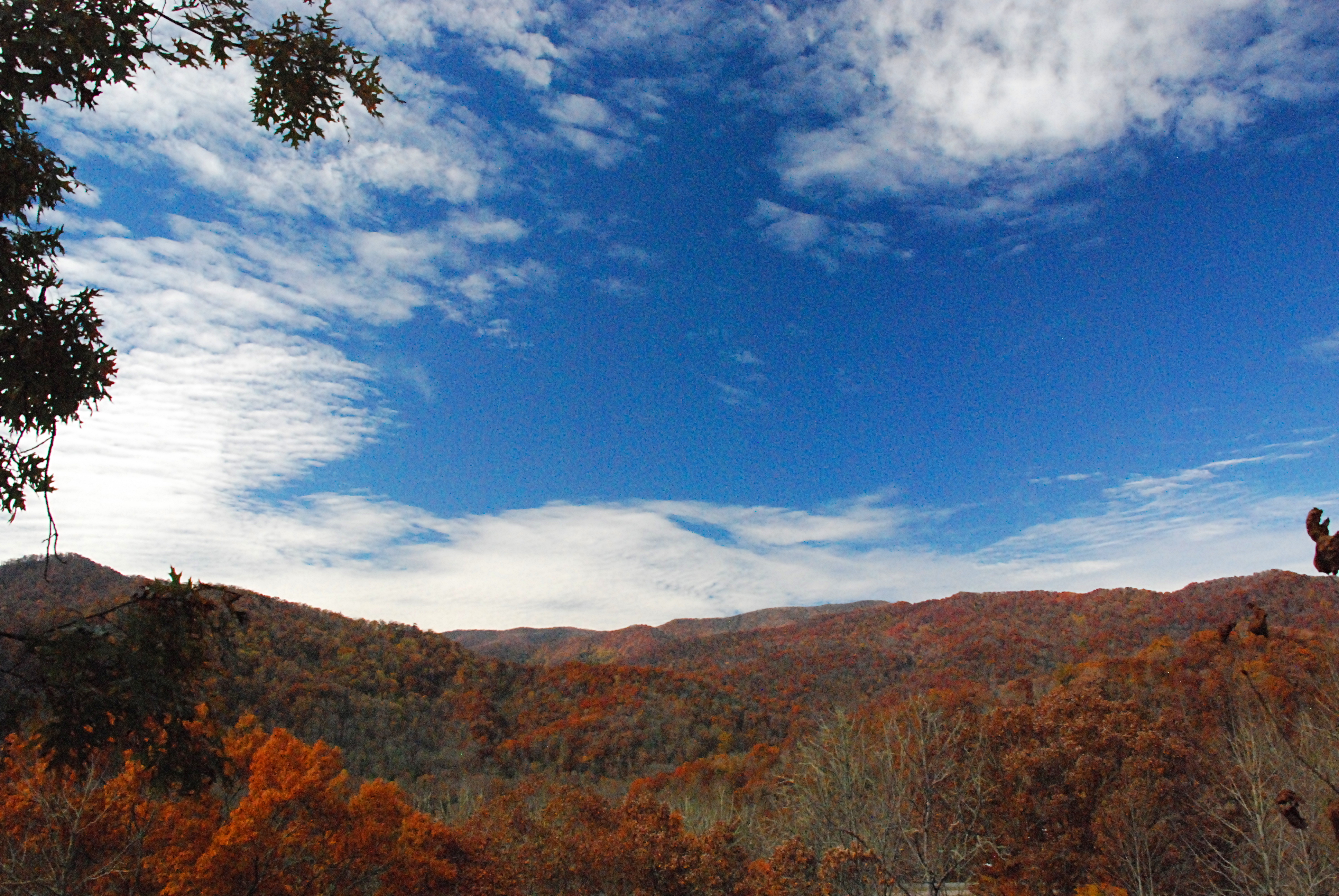
Fall River | Cherokee, NC

The Elk..
Mingo Falls HDR

Smoky Mountain NP

A few weeks ago didn't think photographing waterfalls would be an option since its been so dry. With all of this rain we are having its a reminder of how quickly conditions can change. Here is my favorite composition of SoCo falls near Cherokee. I have th
Blue Ridge Parkway
Topographic Map of Qualla, NC, USA
Find elevation by address:

Places near Qualla, NC, USA:
45 Boxwood Dr, Whittier, NC, USA
Sequoyah National Golf Club
284 Fort Wilderness Rd
1270 Shoal Creek Rd
154 Ho Crisp Rd
317 Teigue Cove Rd
97 Bunting Trl
294 Sleepy Hollow Dr
292 Troy Martin Rd
394 Varners Ridge
2886 Thomas Valley Rd
Poor Boy Lane
404 Poor Boy Ln
208 Song Of S
421 Bumgarner Cemetery Rd
996 Lewis Cove Rd
400 Poor Boy Ln
400 Poor Boy Ln
Whittier
226 Whittier School Rd
Recent Searches:
- Elevation of Corso Fratelli Cairoli, 35, Macerata MC, Italy
- Elevation of Tallevast Rd, Sarasota, FL, USA
- Elevation of 4th St E, Sonoma, CA, USA
- Elevation of Black Hollow Rd, Pennsdale, PA, USA
- Elevation of Oakland Ave, Williamsport, PA, USA
- Elevation of Pedrógão Grande, Portugal
- Elevation of Klee Dr, Martinsburg, WV, USA
- Elevation of Via Roma, Pieranica CR, Italy
- Elevation of Tavkvetili Mountain, Georgia
- Elevation of Hartfords Bluff Cir, Mt Pleasant, SC, USA