Elevation of Thomas Valley Rd, Whittier, NC, USA
Location: United States > North Carolina > Swain County > Charleston > Whittier >
Longitude: -83.327581
Latitude: 35.4057568
Elevation: -10000m / -32808feet
Barometric Pressure: 295KPa
Elevation Map:
Satellite Map:
Related Photos:

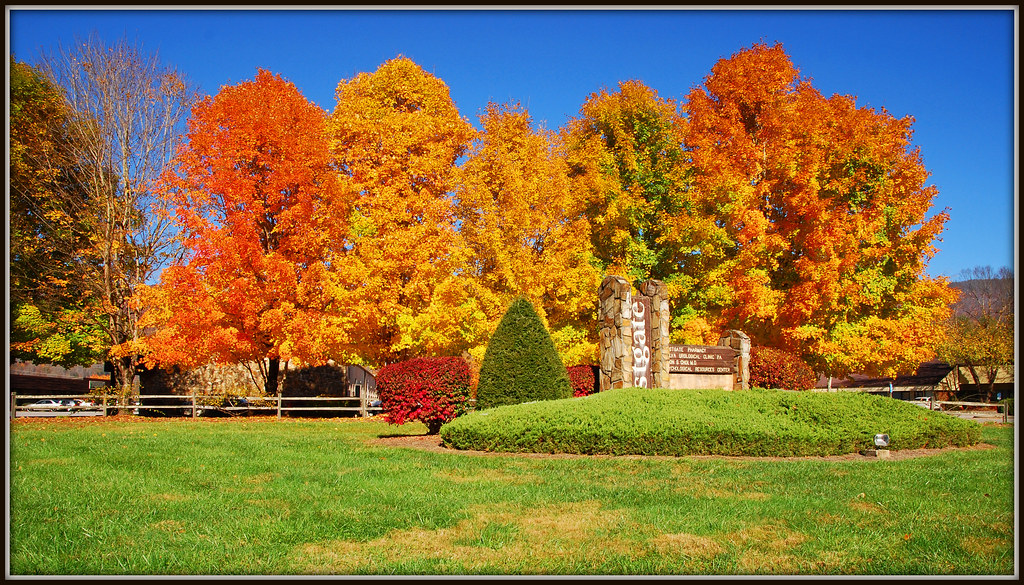
Mingus Mill Autumn

Mingus Mill Moon Light

Mingus Mill

Tom's Branch Falls

Locking Horns

Jackson County Courthouse - Explore #170
The Davis House

Mingus Mill

317e2 purple picnic

Mingo Falls, Cherokee Indian Reservation, North Carolina

Bugling for the Ladies

Natural Refraction

Steaming Toward Fontana

Mingus Mill (Wooden Flume View)

A Barn's Eye View
Cherokee KOA in HDR
Sylva, NC Main St.

Dillsboro Bridge, Tuckasegee River, Dillsboro, North Carolina

Jackson County Courthouse, Sylva, NC

Mingo Falls

The Cabin Above The Clouds
Indian Creek Falls

Mingus Mill Falls
Fall in Sylva

The Curve

The Elk..
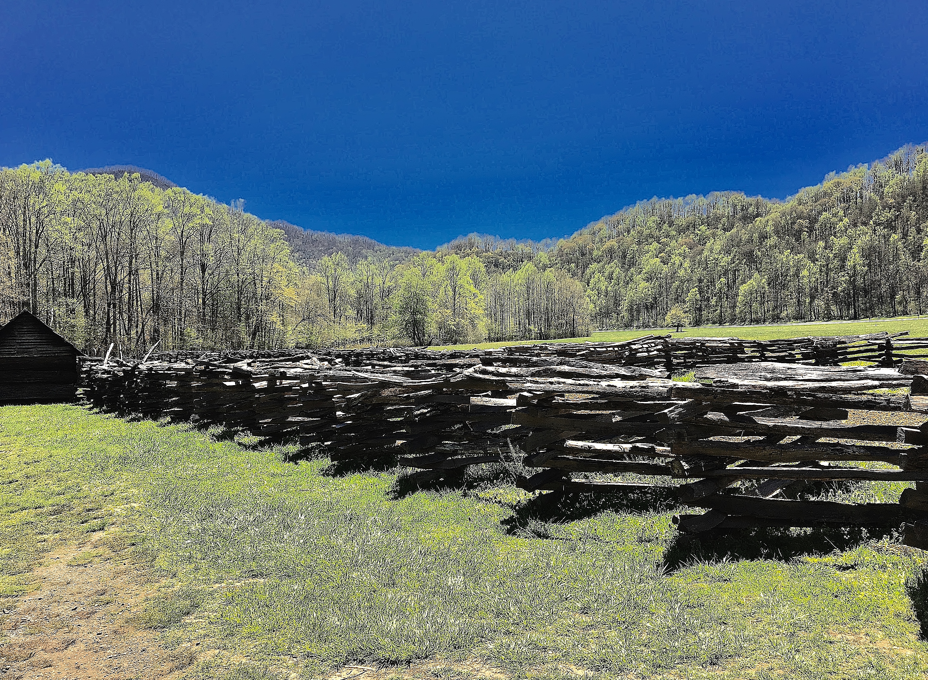
Scene From Mountain Farm Museum

Upper Mingo Falls

Colors of Mingo

Mingo Falls

Ocunaluftee Spring

Mingo Falls

Mingus Mill

Pure Autumn 14. Captured in the great Smoky Mountains National Park. #greatsmokymountainsnationalpark #rivers #fallfoliage #fallinasheville #fallriver #autumnleaves #ashevillefall #ashevillenc #oconalufteeriver #landscapephotography

Mingo Falls

Juneywhank Falls 2

Fall River | Cherokee, NC

Trying Out Star Photography

remembering to breathe

Oconaluftee River - Explore #91

Smoky Mountains
Topographic Map of Thomas Valley Rd, Whittier, NC, USA
Find elevation by address:

Places near Thomas Valley Rd, Whittier, NC, USA:
421 Bumgarner Cemetery Rd
208 Song Of S
294 Sleepy Hollow Dr
97 Bunting Trl
1752 Levi Mathis Rd
Idyll Acres Ridge Road
Bannack Springs Road
278 Talisi Trail
1752 Levi Mathis Rd
996 Lewis Cove Rd
200 Childers Barn Ln
365 Arrowhead Lane
3270 Conleys Creek Rd
161 Arrowhead Lane
3747 Conleys Creek Rd
3 State Rd 1122
5 Sunset Ridge
348 Laurel Dr
Chestnut Cove Road
Recent Searches:
- Elevation of Corso Fratelli Cairoli, 35, Macerata MC, Italy
- Elevation of Tallevast Rd, Sarasota, FL, USA
- Elevation of 4th St E, Sonoma, CA, USA
- Elevation of Black Hollow Rd, Pennsdale, PA, USA
- Elevation of Oakland Ave, Williamsport, PA, USA
- Elevation of Pedrógão Grande, Portugal
- Elevation of Klee Dr, Martinsburg, WV, USA
- Elevation of Via Roma, Pieranica CR, Italy
- Elevation of Tavkvetili Mountain, Georgia
- Elevation of Hartfords Bluff Cir, Mt Pleasant, SC, USA