Elevation of Qualla Cir, Brevard, NC, USA

Location: United States > North Carolina > Transylvania County > Brevard > Brevard >

Longitude: -82.743161

Latitude: 35.1452543

Elevation: 899m / 2949feet

Barometric Pressure: 91KPa

Elevation Map:

elevation map of Qualla Cir, Brevard, NC, USA

Satellite Map:

Satellite map of Qualla Cir, Brevard, NC, USA

Related Photos:

waterfall spring southcarolina smokymountains northcarolina woods stream wildcatbranchfalls appalachianmountains mountains
A View of Wildcat Branch Waterfall in the Spring
eastatoefalls waterfall rosman
Eastatoe Falls - View from the bottom
greenvillecounty sc northamerica usa butterfly cleveland unitedstatesofamerica afternoon outdoors southcarolina fauna northernhemisphere springtime baldrockheritagepreserve unitedstates
Survey Marker
forests littleriver hookerfalls ncmountains canon24704l northcarolina waterfalls ncwaterfalls stateforests transylvaniacounty april dupontstateforest 2019 riversandstreams april2019 ncforests
Hooker Falls, Side View
northcarolina transylvaniacounty ncmountains forests stateforests ncforests dupontstateforest waterfalls ncwaterfalls triplefalls riversandstreams littleriver bw april2019 april 2019 canon24704l
Triple Falls - Monochrome
greenvillecounty sc northamerica usa butterfly cleveland unitedstatesofamerica afternoon outdoors southcarolina fauna northernhemisphere springtime baldrockheritagepreserve
Butterfly and Shadow
northcarolina blueridge appalachianmountains mountains westernnc nc dupontstateforest hookerfalls statepark waterfall river water outdoors nature landscape fall autumn
Hooker Falls
uploaded:by=flickrmobile flickriosapp:filter=salamander salamanderfilter
flickr filtered (Explored)
northcarolina blueridge appalachianmountains mountains westernnc nc dupontstateforest hookerfalls waterfall water river autumn fall seasons outdoor nature landscape statepark
Hooker Falls
mountains cross southcarolina chapel nhm symmes prettyplace campgreenville ngm symmeschappel herowinner ultraherowinner thepinnaclehof npgm fredwsymmeschapel entertp11412 tphofweek175
PrettyPlace, (Symmes Chapel)
greenvillecounty sc northamerica usa butterfly cleveland unitedstatesofamerica afternoon outdoors southcarolina fauna northernhemisphere springtime baldrockheritagepreserve
Trying to Get Close
mountains sunrise canon highway over earlymorning northcarolina explore blueridgeparkway smokymountains pisgahnationalforest canonrebeleost1i explore08072011 lyricsborrowedfromsomewhere rainbowbyeyharburg
Somewhere Over the Blue Ridge Parkway, Way Up High
smack53 southcarolina mountains clouds scenic scenery landscape view heavenlyview nikon d3100 nikond3100
Caesars Head Park_0775
northcarolina transylvaniacounty ncmountains forests stateforests ncforests dupontstateforest waterfalls ncwaterfalls cascadesrapids riversandstreams littleriver april2019 april 2019 canon16354l
Strong Flow
greenvillecounty sc baldrockheritagepreserve cleveland northernhemisphere afternoon outdoors unitedstatesofamerica usa southcarolina springtime northamerica
Yoo Hoo!
greenvillecounty sc baldrockheritagepreserve cleveland northernhemisphere afternoon outdoors unitedstatesofamerica usa southcarolina springtime northamerica
Pine Pollen
pentaxk100d
Main View of Connestee Falls
motion waterfall nc northcarolina waterfalls appalachian appalachia blueridgemountains blueridgeparkway mountainstream westernnc
North Carolina Blue Ridge Waterfall - Stillness and Movement
smack53 panorama southcarolina mountains scenery scenic vista springtime spring nikon d3100 nikond3100
Caesars Head State Park_0762-0767
greenvillecounty sc baldrockheritagepreserve cleveland northernhemisphere afternoon outdoors unitedstatesofamerica usa southcarolina springtime northamerica
Pine Catkins Plump with Pollen
Scenic View
waterfall balsamgrove shoalcreekfalls northbranchofthefrenchbroadriver
Close-up of the Confluence of the North Branch of the French Broad River and Shoal Creek Falls in Balsam Grove, NC
table rock state park south carolina outdoor the mountains landscape pinnacle lake water mountain forest woods
Pinnacle Lake II
table rock state park south carolina the outdoor landscape lake water pinnacle mountain forest woods cloudy day
The Boat House
southcarolina spring appalachianmountains smokymountains mountains stream woods forest jonesgapstatepark
South Carolina Stream in the Spring
fall leaves color beautiful road landscape rur lon pea qui alo cloudy 5div hiking northcarolina nc
One of the Best Days
nature water outdoors us waterfall unitedstates scenic southcarolina clevland augphotoimagery
Reflective Gravity
nikond90
More From Eastatoe Falls
pentaxk100d
Eastatoe Falls or The Old Name, Chapman Falls
jones gap state park the south carolina outdoor landscape woods forest cabin building
Jones Gap State Park
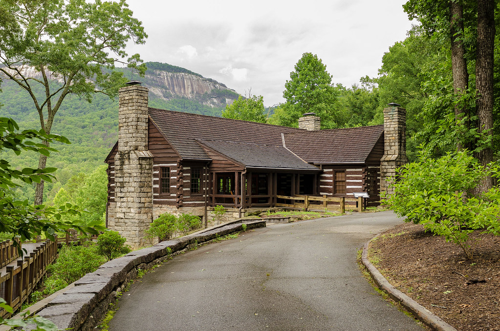
table rock state park south carolina outdoor the mountains landscape building architecture cabin woods forest
Table Rock Lodge
jones gap state park the south carolina outdoor landscape woods forest water stream river middle saluda
Jones Gap
jones gap the south carolina forest woods outdoor landscape water stream middle saluda waterfall
Jones Gap Falls II
mountains northcarolina westernnorthcarolina pisgah photography hiking travel adventure forest wilderness nature landscape
Big Lost Cliffs Camp
waterfall eastatoefalls
Eastatoe Falls
canon eos 6d ef1635mm f4l is usm pinnacle falls abner creek beech bottom landscape waterfall water river stream south carolina harmon caldwell
Spring at Pinnacle Falls
jones gap state park the south carolina outdoor landscape woods forest middle saluda
Middle Saluda River - Jones Gap
jones gap the south carolina forest woods outdoor landscape water stream middle saluda waterfall
Jones Gap Falls III
hiking mountains mountain clouds landscape nature southcarolina sky overlook beautiful people
Mountain Top Storm
jones gap the south carolina forest woods outdoor landscape water stream middle saluda waterfall
Jones Gap Falls
canon eos 6d ef1635mm f4l is usm landscape long exposure nature outdoor abner creek pinnacle falls river south carolina harmon caldwell
Cascade on Abner Creek
jones gap the south carolina forest woods outdoor landscape water stream middle saluda
Middle Saluda at Jones Gap