Elevation of Connestee Trail, Brevard, NC, USA
Location: United States > North Carolina > Transylvania County > Brevard > Brevard >
Longitude: -82.738653
Latitude: 35.1424181
Elevation: 900m / 2953feet
Barometric Pressure: 91KPa
Elevation Map:
Satellite Map:
Related Photos:

A View of Wildcat Branch Waterfall in the Spring

Eastatoe Falls - View from the bottom

Hooker Falls

Hooker Falls, Side View
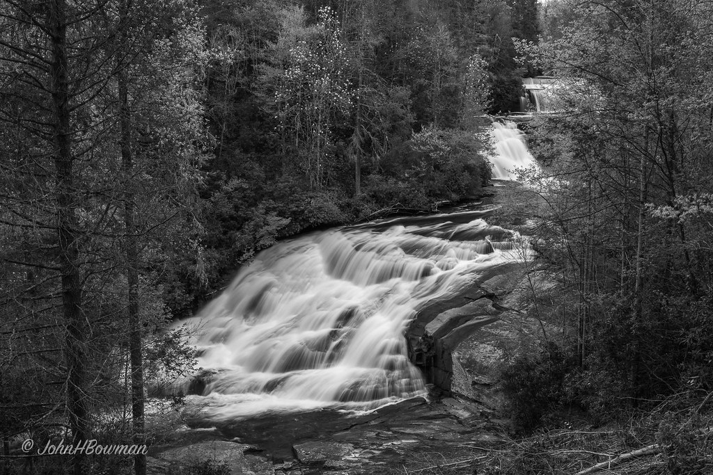
Triple Falls - Monochrome
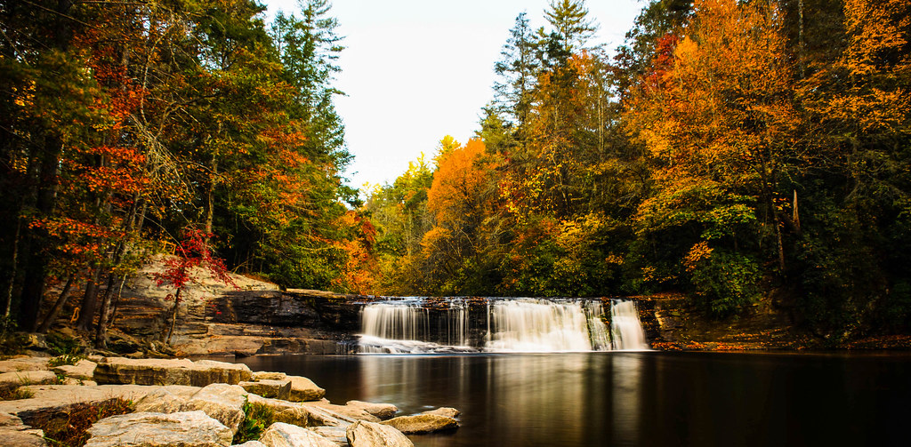
Hooker Falls

flickr filtered (Explored)

Caesars Head Park_0775
Caesars Head State Park_0762-0767

Large Format B&W Film Camera, Dupont State Forest, North Carolina

Table Rock Sunrise - Caesar's Head State Park Landscape

Caesars Head Park_0760
Caesars Head Park_0770
Touch of Sunlight
Table Rock

I will lift up my eyes to the hills...

DuPont State Forest

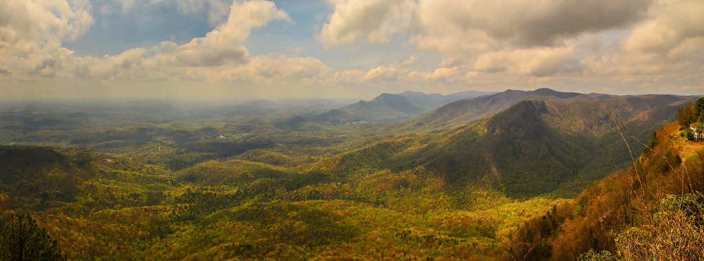
View of Mountains From Caesars Head South Carolina
A Half-Forgotten Evening

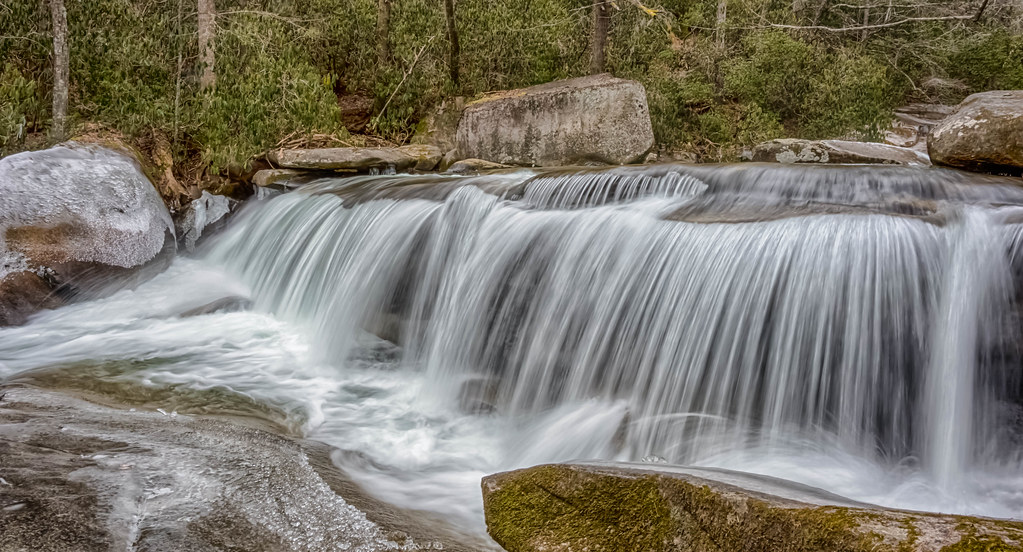
Waterfall on Carrick Creek
PrettyPlace, (Symmes Chapel)
Cascade on the North Branch French Broad River

Eastatoe Falls

Pinnacle Lake II

The Boat House

South Carolina Stream in the Spring

One of the Best Days

Reflective Gravity

More From Eastatoe Falls
Jones Gap State Park
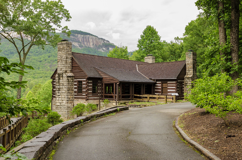
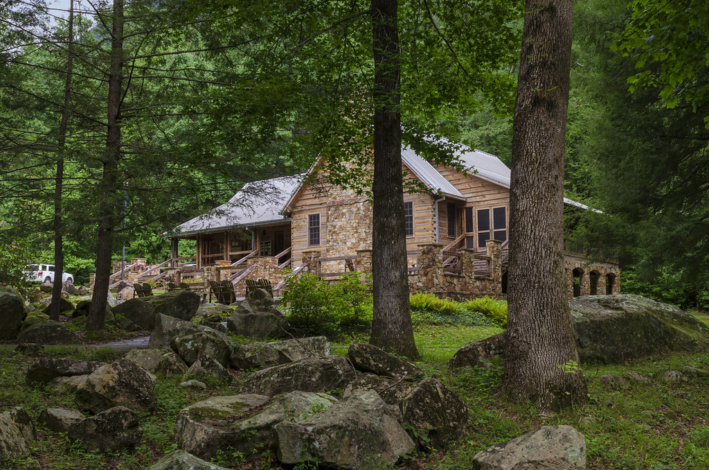
Table Rock Lodge

Jones Gap

Middle Saluda at Jones Gap

Middle Saluda River - Jones Gap

Creeping Beyond

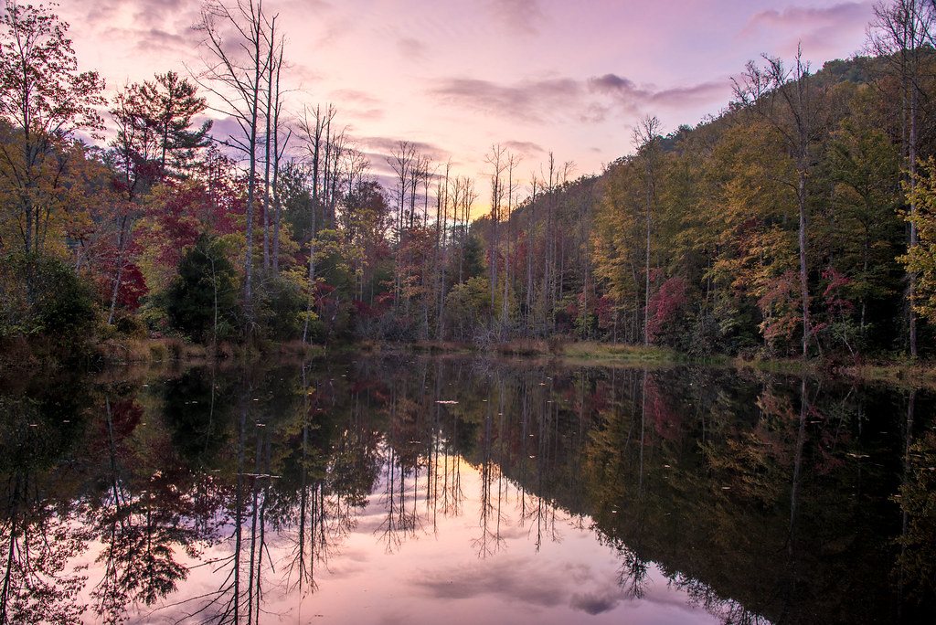
Morning Reflection

Fish Pond at Jones Gap
Morning near Eastatoe Falls, NC

Eastatoe Falls in the Rain

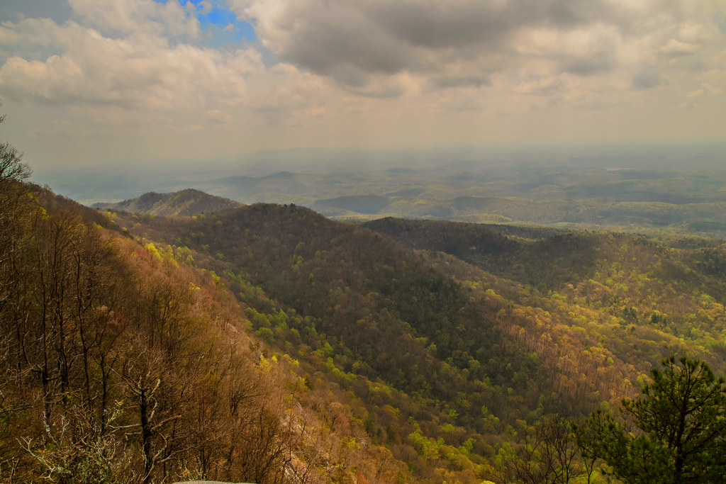
Somewhere Over the Blue Ridge Parkway, Way Up High
Topographic Map of Connestee Trail, Brevard, NC, USA
Find elevation by address:

Places near Connestee Trail, Brevard, NC, USA:
2796 Connestee Trail
40 Nokassa Ct
2976 Connestee Trail
792 Tsisqua Cir
165 Cheestoonaya Way
225 Qualla Cir
60 Duya Ct
580 Qualla Cir
478 Salola Ln
158 Setsi Ln
22 Kassahola Dr
22 Kassahola Dr
22 Kassahola Dr
22 Kassahola Dr
338 Middle Connestee Trail
67 Guledisgonihi Ct
210 Echota Ln
43 Enolah Ct
2434 Connestee Trail
564 Cheestoonaya Way
Recent Searches:
- Elevation of Corso Fratelli Cairoli, 35, Macerata MC, Italy
- Elevation of Tallevast Rd, Sarasota, FL, USA
- Elevation of 4th St E, Sonoma, CA, USA
- Elevation of Black Hollow Rd, Pennsdale, PA, USA
- Elevation of Oakland Ave, Williamsport, PA, USA
- Elevation of Pedrógão Grande, Portugal
- Elevation of Klee Dr, Martinsburg, WV, USA
- Elevation of Via Roma, Pieranica CR, Italy
- Elevation of Tavkvetili Mountain, Georgia
- Elevation of Hartfords Bluff Cir, Mt Pleasant, SC, USA