Elevation map of Pyrenees Shire, Pyrenees, VIC, Australia

Location: Australia > Victoria >

Longitude: 143.477035

Latitude: -37.387963

Elevation: 441m / 1447feet

Barometric Pressure: 96KPa

Elevation Map:

elevation map of Pyrenees Shire, Pyrenees, VIC, Australia

Satellite Map:

Satellite map of Pyrenees Shire, Pyrenees, VIC, Australia

Related Photos:

Beaufort: former Beaufort Service Station (c.1927)
trees project farm shed 365 canola paddock project365 waubra
Project365 : 291/365
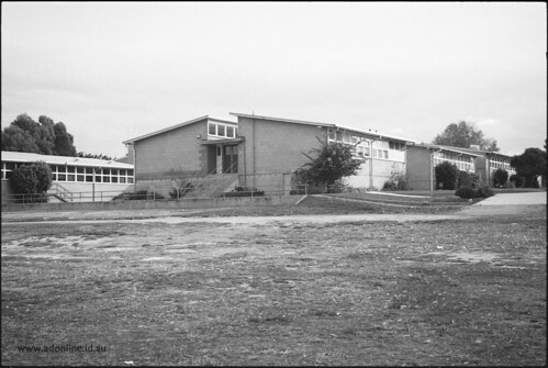
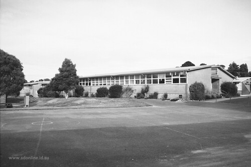
school blackandwhite bw building heritage film college grass playground architecture concrete design high education classroom kodak lawn australia victoria scan highschool secondary beaufort bitumen redfilter ltc schoolyard bw400cn asphelt publicschool stateschool governmentschool cementtile secondarycollege beauforthighschool lighttimberconstruction beaufortsecondarycollege foursquare:venue=22151933 beauforteducationregenerationproject
Beaufort Secondary College
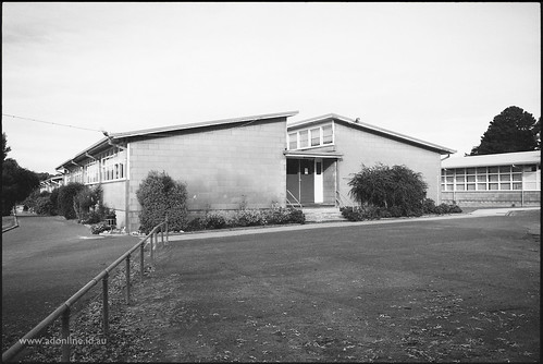
school windows blackandwhite bw building heritage film college window grass playground architecture concrete design high education classroom kodak cement lawn australia victoria scan highschool frame secondary beaufort bitumen redfilter ltc schoolyard bw400cn asphelt publicschool stateschool governmentschool cementtile secondarycollege beauforthighschool lighttimberconstruction beaufortsecondarycollege foursquare:venue=22151933 beauforteducationregenerationproject
Beaufort Secondary College
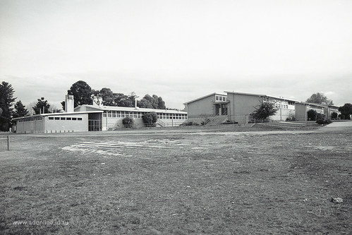
school blackandwhite bw building heritage film college grass playground architecture concrete design high education classroom kodak lawn australia victoria scan highschool secondary beaufort bitumen redfilter ltc schoolyard bw400cn asphelt publicschool stateschool governmentschool cementtile secondarycollege beauforthighschool lighttimberconstruction beaufortsecondarycollege foursquare:venue=22151933 beauforteducationregenerationproject
Beaufort Secondary College
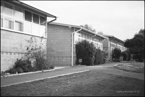
school windows blackandwhite bw building heritage film college window grass playground architecture concrete design high education classroom kodak cement lawn australia victoria scan highschool frame secondary beaufort bitumen redfilter ltc schoolyard bw400cn asphelt publicschool stateschool governmentschool cementtile secondarycollege beauforthighschool lighttimberconstruction beaufortsecondarycollege foursquare:venue=22151933 beauforteducationregenerationproject
Beaufort Secondary College
school blackandwhite bw building heritage film college grass playground architecture concrete design high education classroom kodak lawn australia victoria scan highschool secondary beaufort bitumen redfilter ltc schoolyard bw400cn asphelt publicschool stateschool governmentschool cementtile secondarycollege beauforthighschool lighttimberconstruction beaufortsecondarycollege foursquare:venue=22151933 beauforteducationregenerationproject
Beaufort Secondary College
flickr photos friday towns 2012 week40 fp2012
Friday Photos 2012 #flickr #fp2012 #week40 #towns
sky cloud field landscape outdoor farm country dry australia victoria hills serene rollinghills paddock 1610 2048 canonef24105mmf4lisusm waubra geo:country=australia canoneos5dmarkii geo:state=victoria camera:model=canoneos5dmarkii gavowen exif:model=canoneos5dmarkii exif:aperture=ƒ80 geo:city=waubra exif:focallength=85mm exif:isospeed=100 geo:location=waubra geo:lat=37330277777778 geo:lon=14361611111111
A Country Scene
2018-08-25_03-15-31
farming canola cropping rapeseed oilseedvictoriaaustralia
Track Winding Back
sky bw windmill silhouette digital landscape geotagged eos wind farm luke australia victoria grayscale turbine wedgetailedeagle 450d waubra digitalrebelxsi efs55250mmf456is canonefs55250f456is lushaki luketscharke geo:lat=37371556 geo:lon=143628945
when i grow up
2018-08-25_03-15-07
australia alternativeenergy pasture windmill waubra solarpower windturbine sheep victoria au
7DM2-01092.jpg
20160604_9447 sunset at 30,000 ft
australia alternativeenergy pasture windmill waubra solarpower windturbine sheep victoria au
7DM2-01084.jpg
australia alternativeenergy windmill waubra windturbine solarpower victoria au
7DM2-01080.jpg
australia alternativeenergy windmill waubra solarpower windturbine cattle victoria au
7DM2-01088.jpg
australia alternativeenergy windmill waubra solarpower windturbine cattle victoria au
7DM2-01087.jpg
australia alternativeenergy pasture windmill waubra solarpower windturbine sheep victoria au
7DM2-01085.jpg
australia alternativeenergy victoria windmill waubra solarpower windturbine quoinhillvineyard au
7DM2-01075.jpg
australia alternativeenergy windmill waubra solarpower windturbine cattle victoria au
7DM2-01090.jpg
australia alternativeenergy pasture windmill waubra solarpower windturbine sheep victoria au
7DM2-01091.jpg
australia alternativeenergy pasture windmill waubra solarpower windturbine sheep victoria au
7DM2-01086.jpg
australia alternativeenergy victoria windmill waubra solarpower windturbine quoinhillvineyard au
7DM2-01077.jpg
Another Paddock