Elevation of Lexton VIC, Australia
Location: Australia > Victoria > Pyrenees Shire >
Longitude: 143.515651
Latitude: -37.279258
Elevation: 318m / 1043feet
Barometric Pressure: 98KPa
Elevation Map:
Satellite Map:
Related Photos:
Pyrenees Highway, Amphitheatre

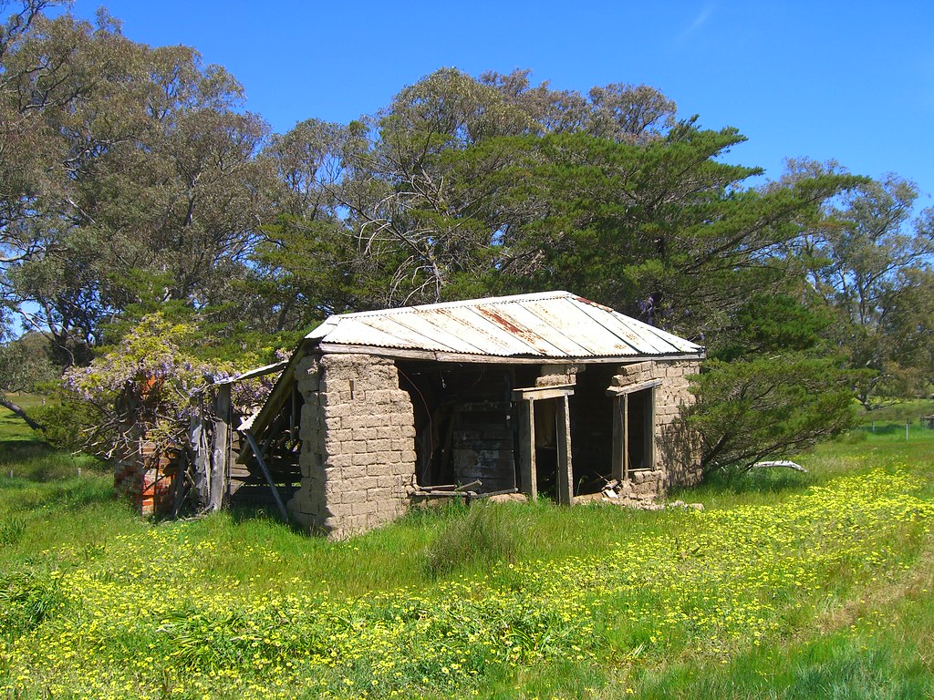
A Country Scene

7DM2-01092.jpg

7DM2-01084.jpg

7DM2-01080.jpg

7DM2-01090.jpg

7DM2-01087.jpg

7DM2-01085.jpg
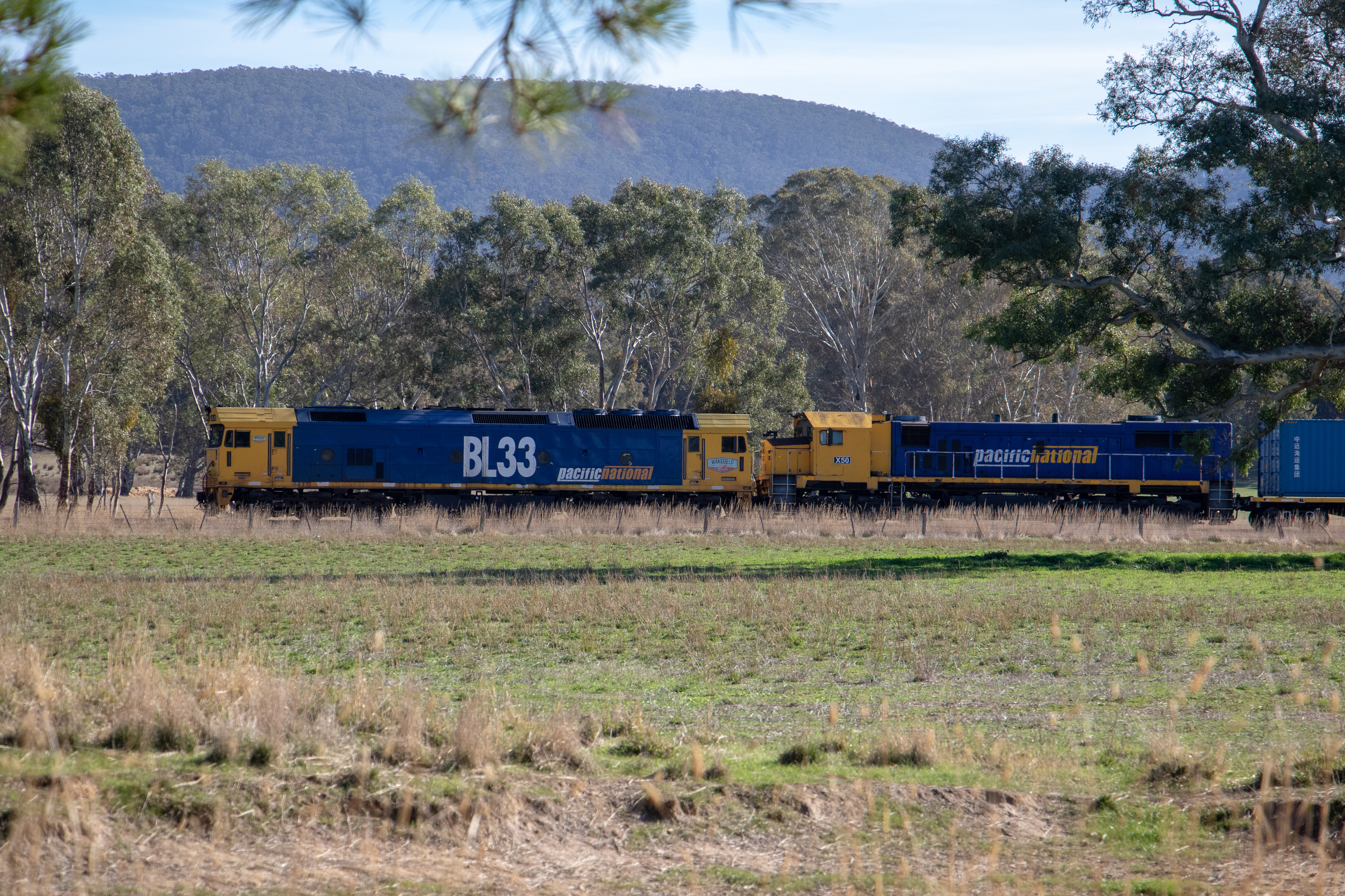
BL33, X50 7902V

7DM2-01075.jpg

7DM2-01076.jpg

7DM2-01077.jpg
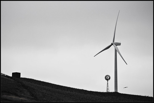
Another Paddock
2018-08-25_03-15-31
when i grow up

2018-08-25_03-15-07
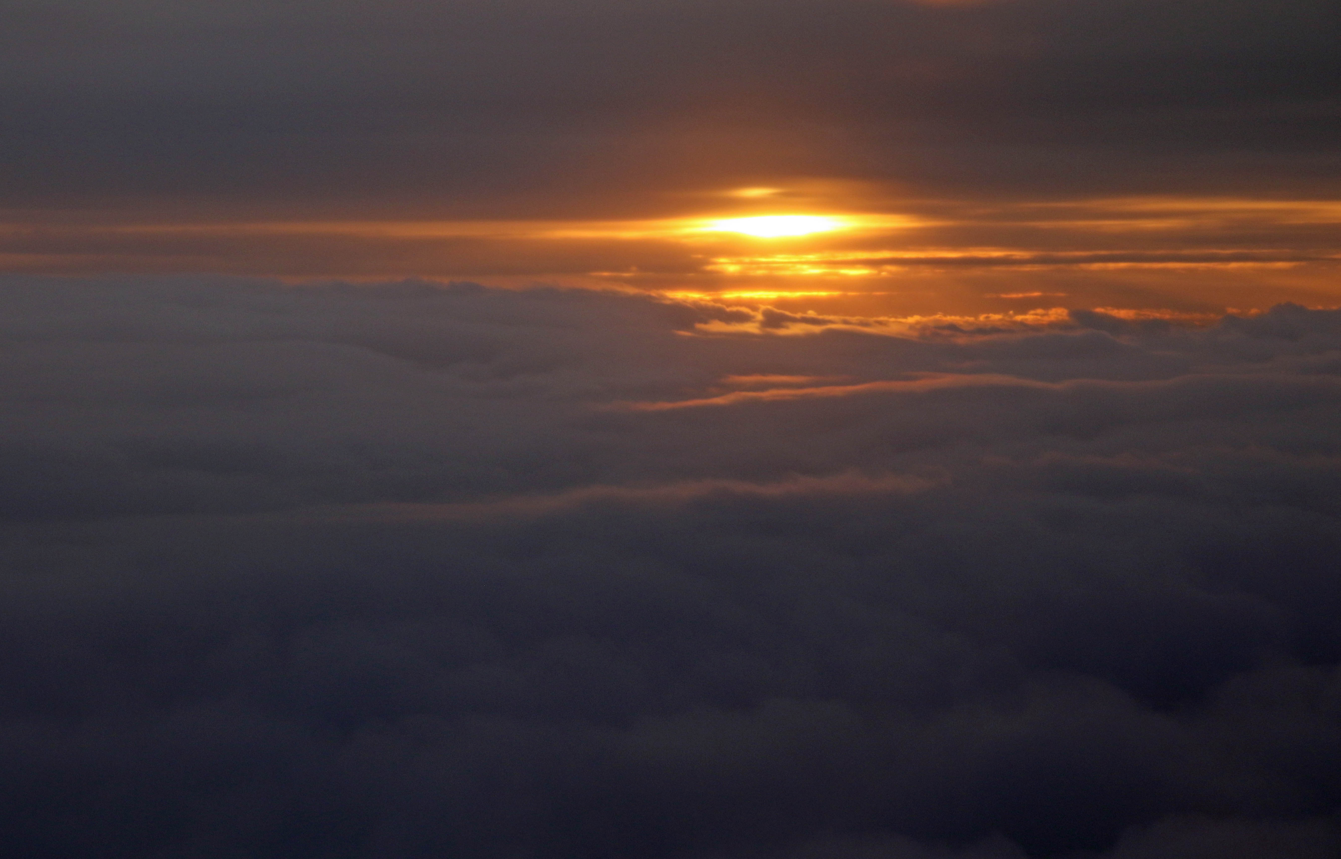
20160604_9447 sunset at 30,000 ft
Topographic Map of Lexton VIC, Australia
Find elevation by address:

Places near Lexton VIC, Australia:
314 Joseph Ln
Amphitheatre
Pyrenees Shire
Avoca
Redpath Track
Ballarat City
Maryborough
Central Goldfields Shire
108 Muir Rd
Smythesdale
221 Dowling St
15 Cope St
815-819 Sturt St
815 Sturt St
Ballarat
50 Sturt St
50 Sturt St
50 Sturt St
50 Sturt St
50 Sturt St
Recent Searches:
- Elevation of Corso Fratelli Cairoli, 35, Macerata MC, Italy
- Elevation of Tallevast Rd, Sarasota, FL, USA
- Elevation of 4th St E, Sonoma, CA, USA
- Elevation of Black Hollow Rd, Pennsdale, PA, USA
- Elevation of Oakland Ave, Williamsport, PA, USA
- Elevation of Pedrógão Grande, Portugal
- Elevation of Klee Dr, Martinsburg, WV, USA
- Elevation of Via Roma, Pieranica CR, Italy
- Elevation of Tavkvetili Mountain, Georgia
- Elevation of Hartfords Bluff Cir, Mt Pleasant, SC, USA