Elevation of Pyŏngsŏng, South Pyongan, North Korea
Location: North Korea >
Longitude: 125.861953
Latitude: 39.2604149
Elevation: 96m / 315feet
Barometric Pressure: 100KPa
Elevation Map:
Satellite Map:
Related Photos:

IMG_0823

IMG_0822
IMG_0820

DSC12158

DSC12156

DSC12153

DSC12154
IMG_0821
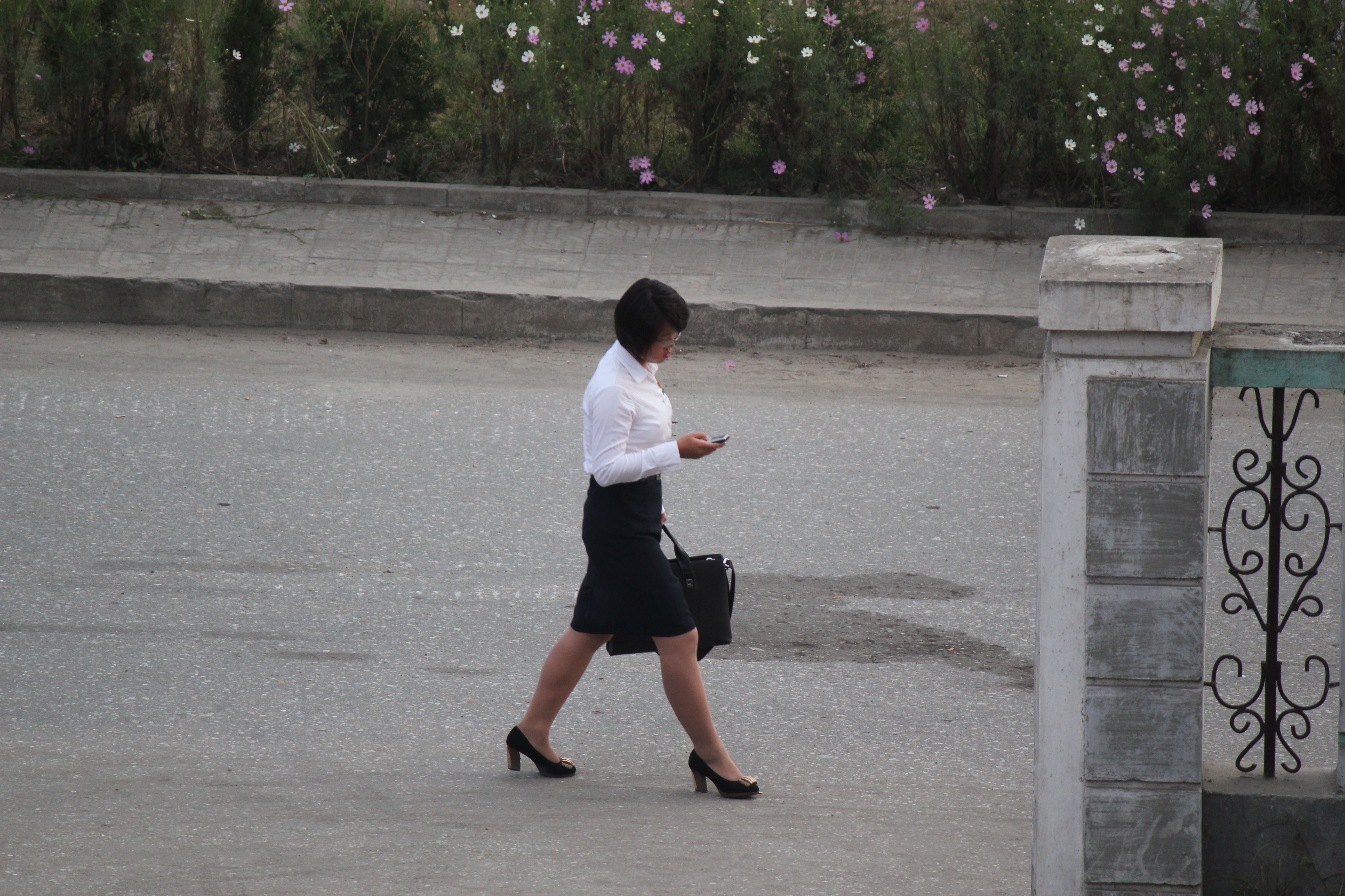
Girl checking cell phone Pyongsong North Korea

1704_DPRK -753.jpg
170426_Nordkorea_0040.jpg

Students of the Mother Kim Jong Suk Middle School
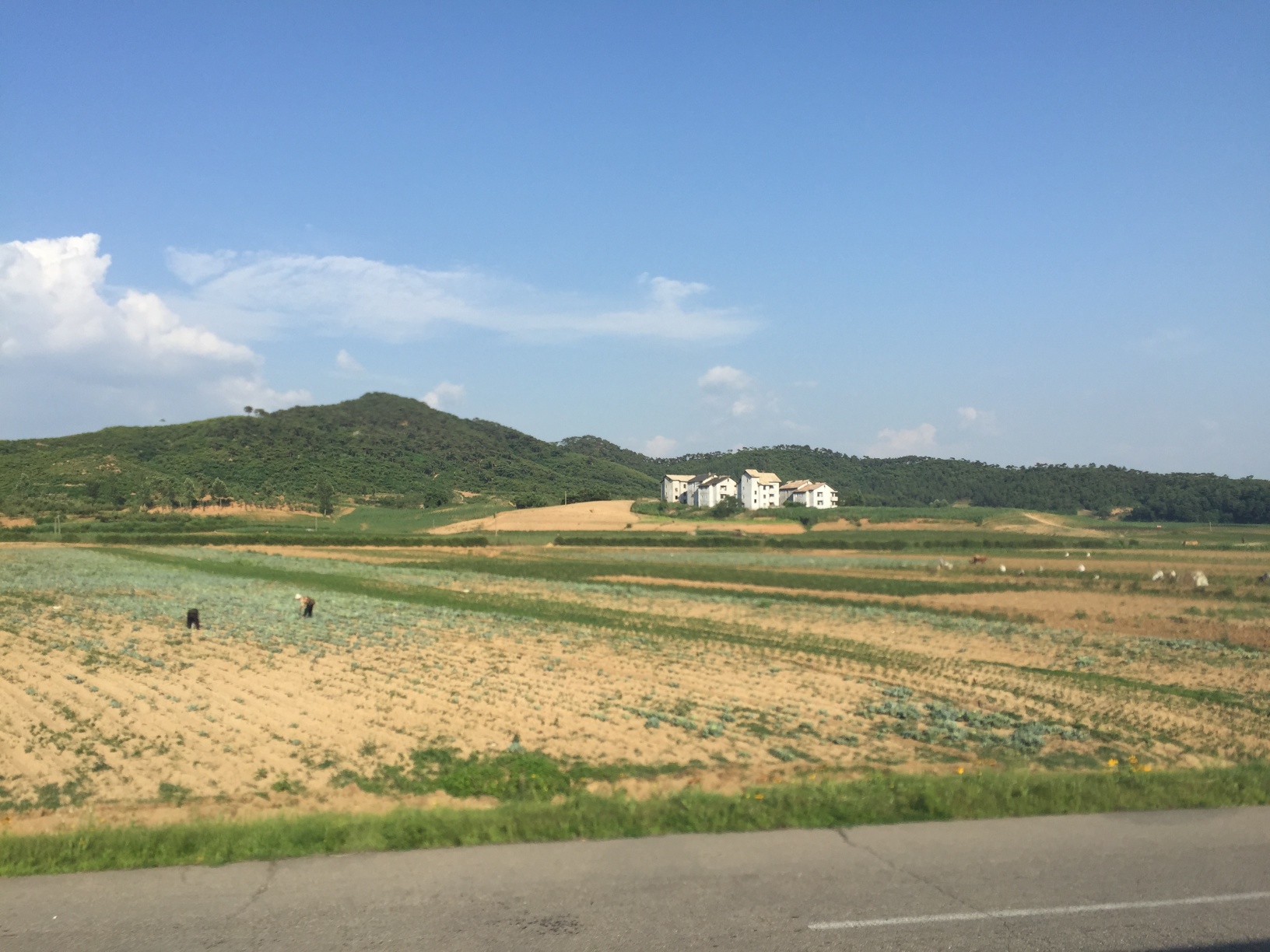
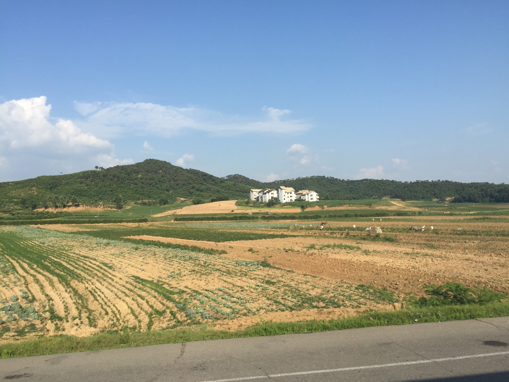
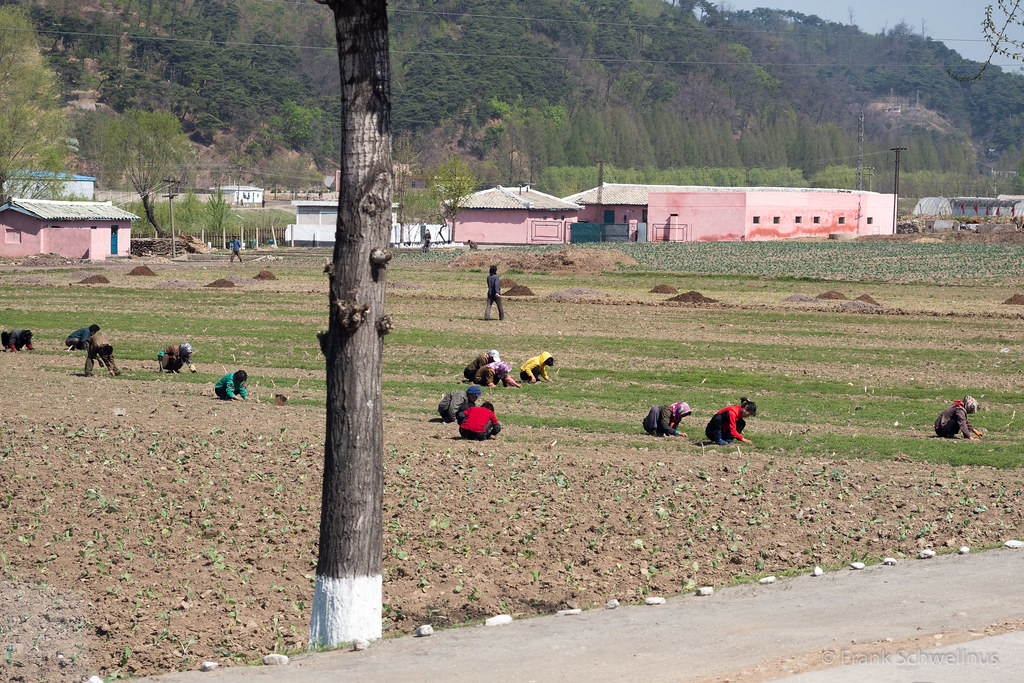
Workers in Pyongsong

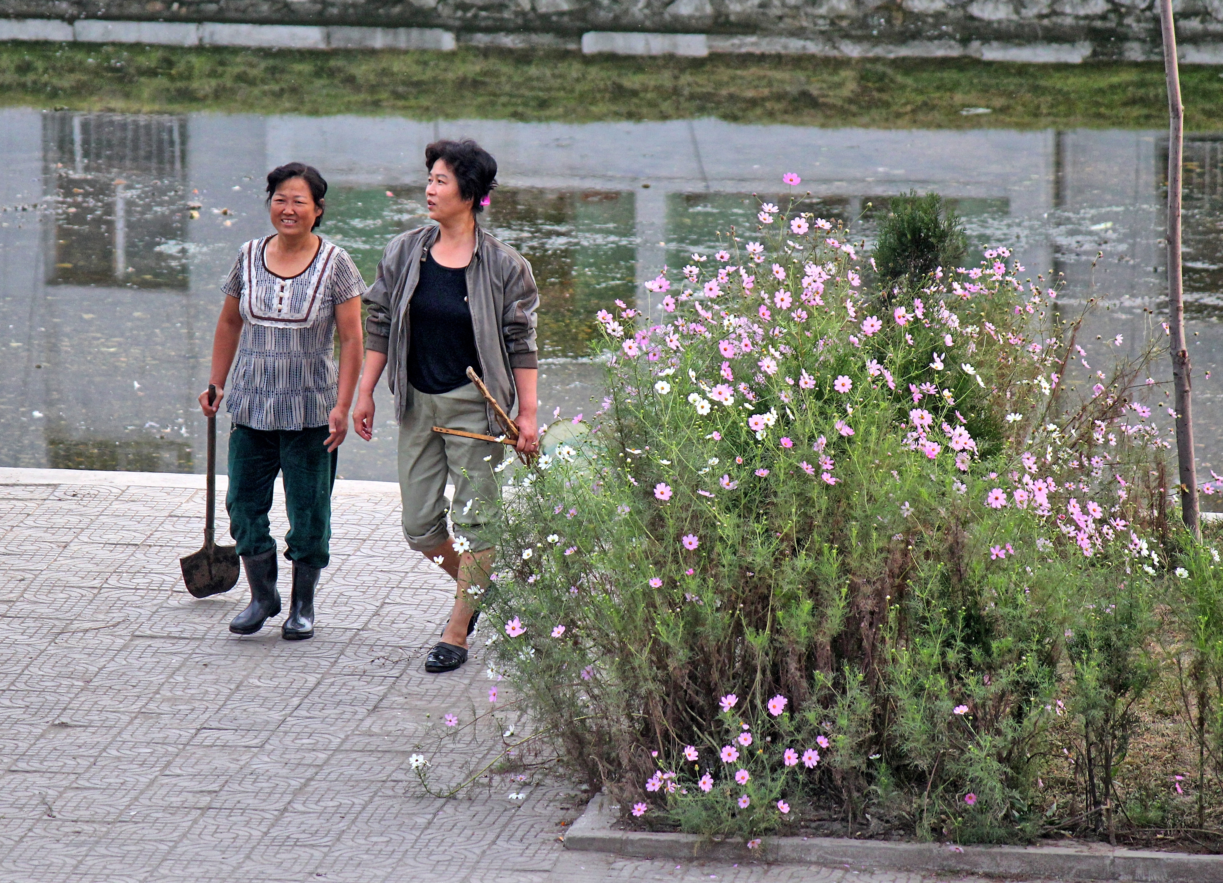
River Cleaning in Pyongsong
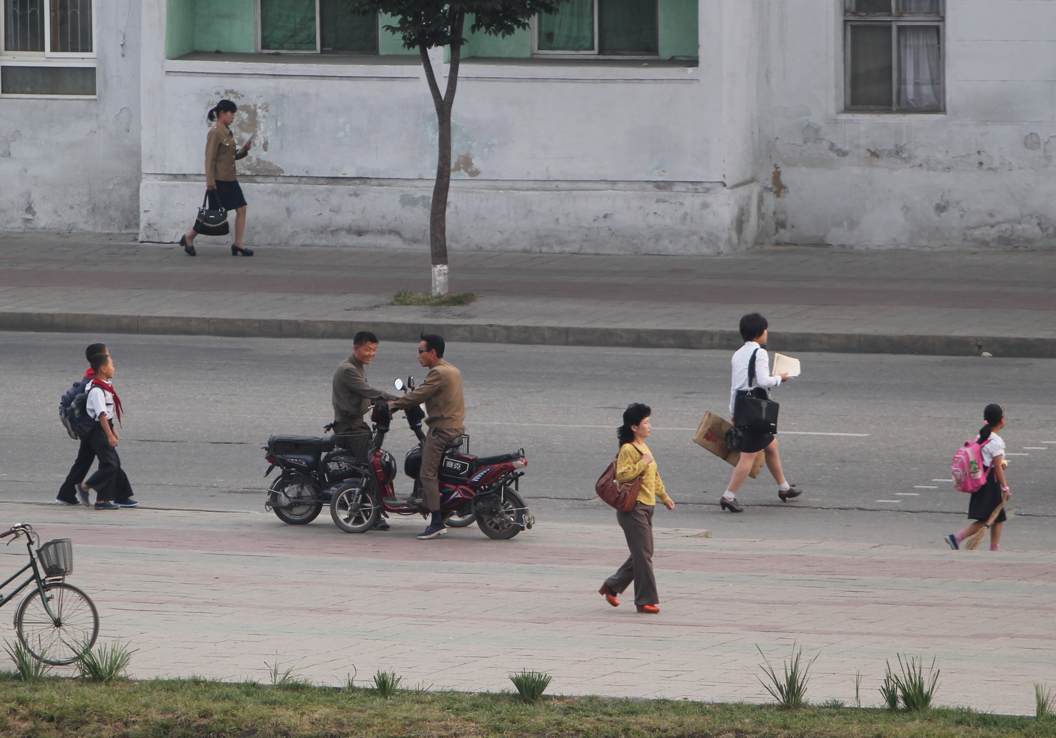
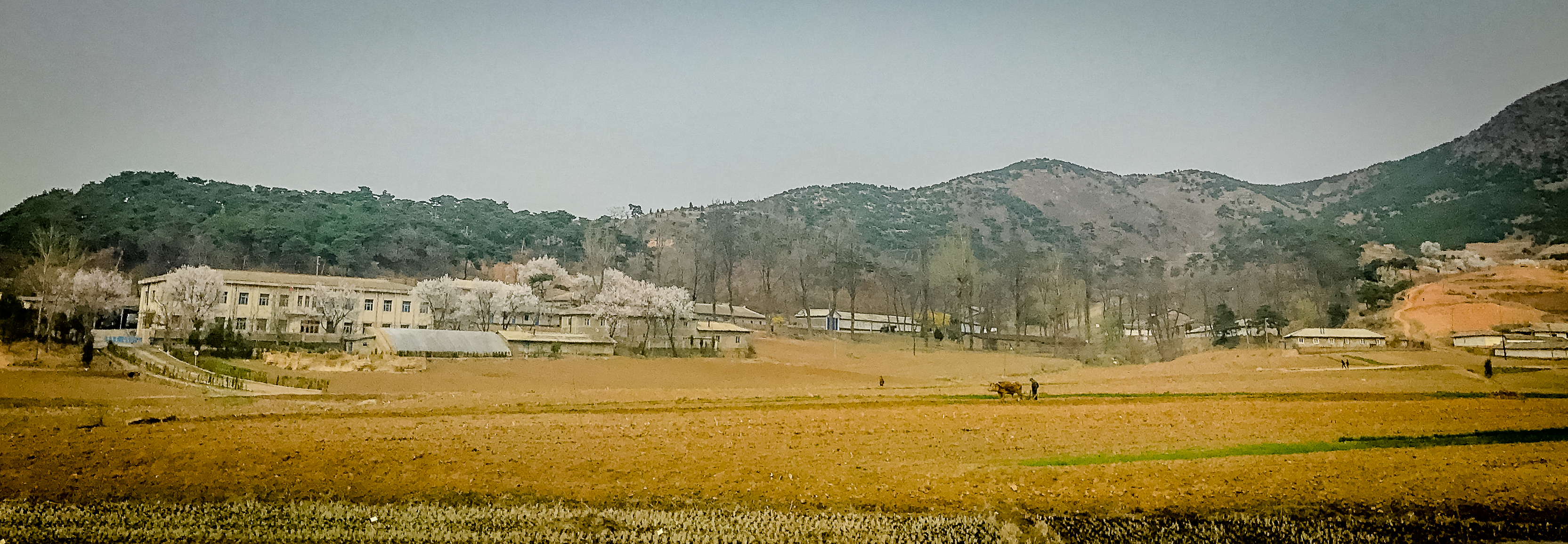
Morning in Pyongsong North Korea
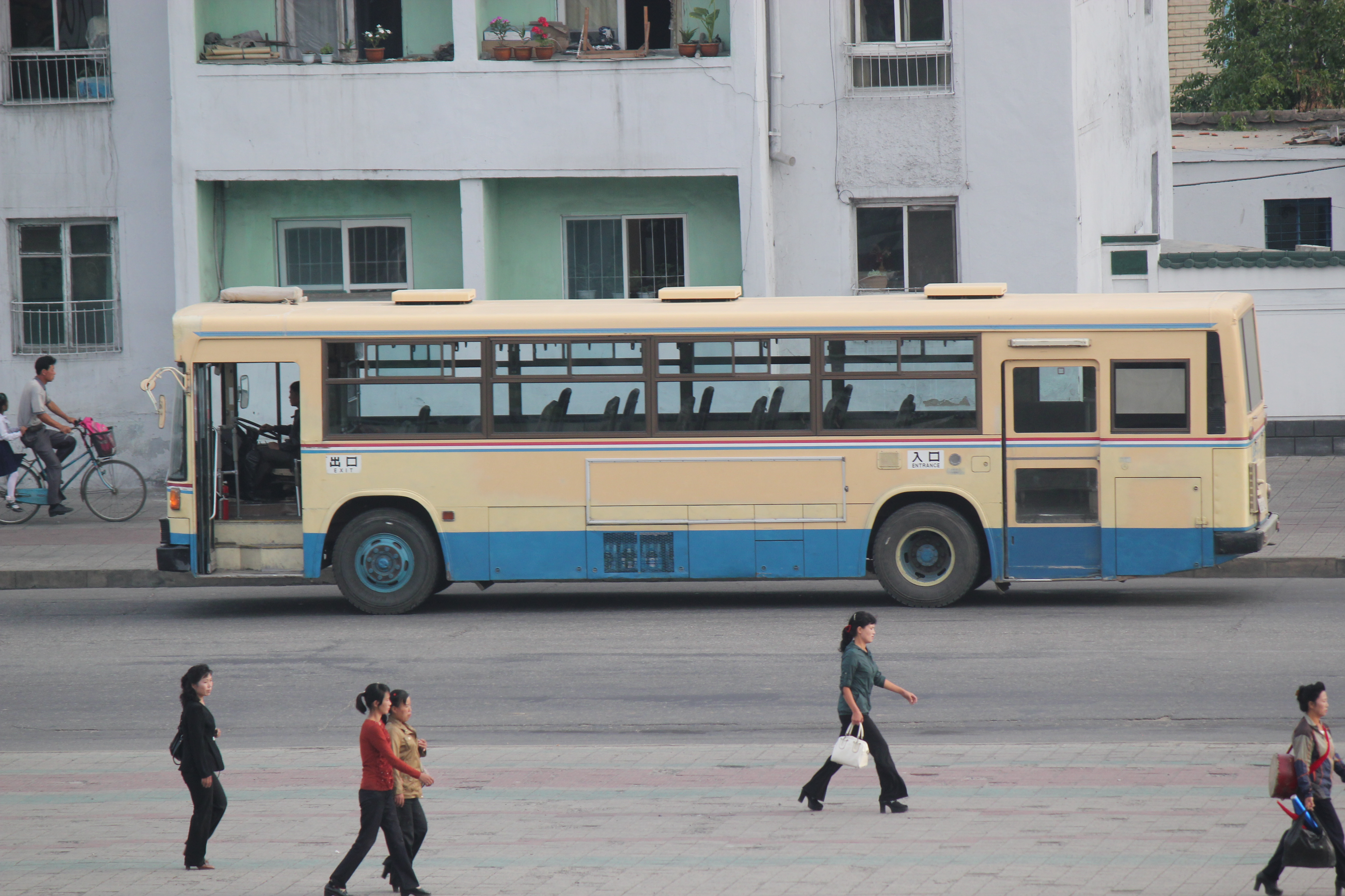
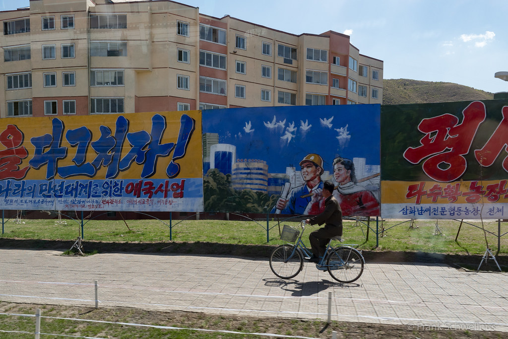
Bus Pyongsong Street scene

Motorcycle Pyongsong Street scene
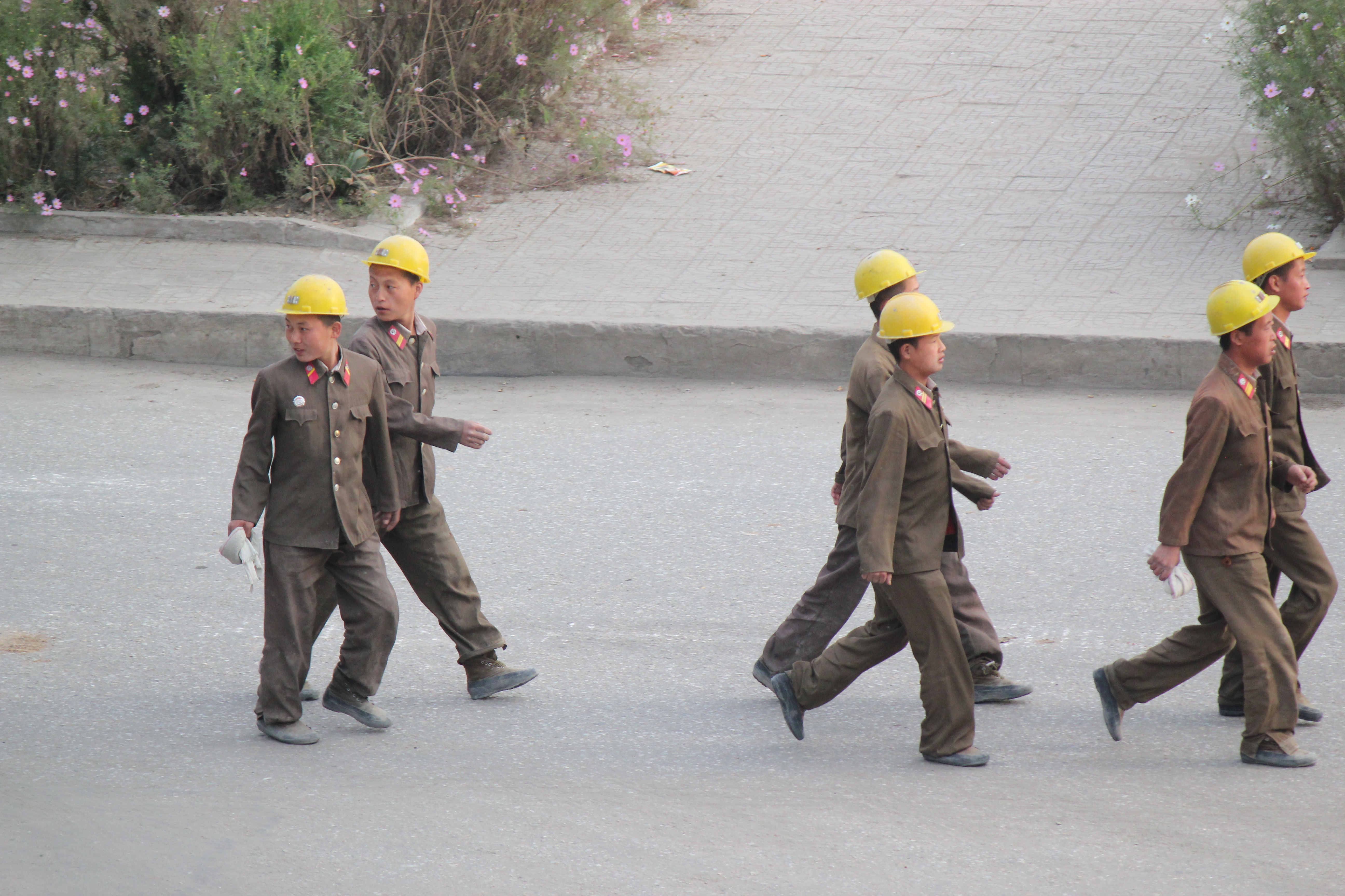
Construction workers in Pyongsong
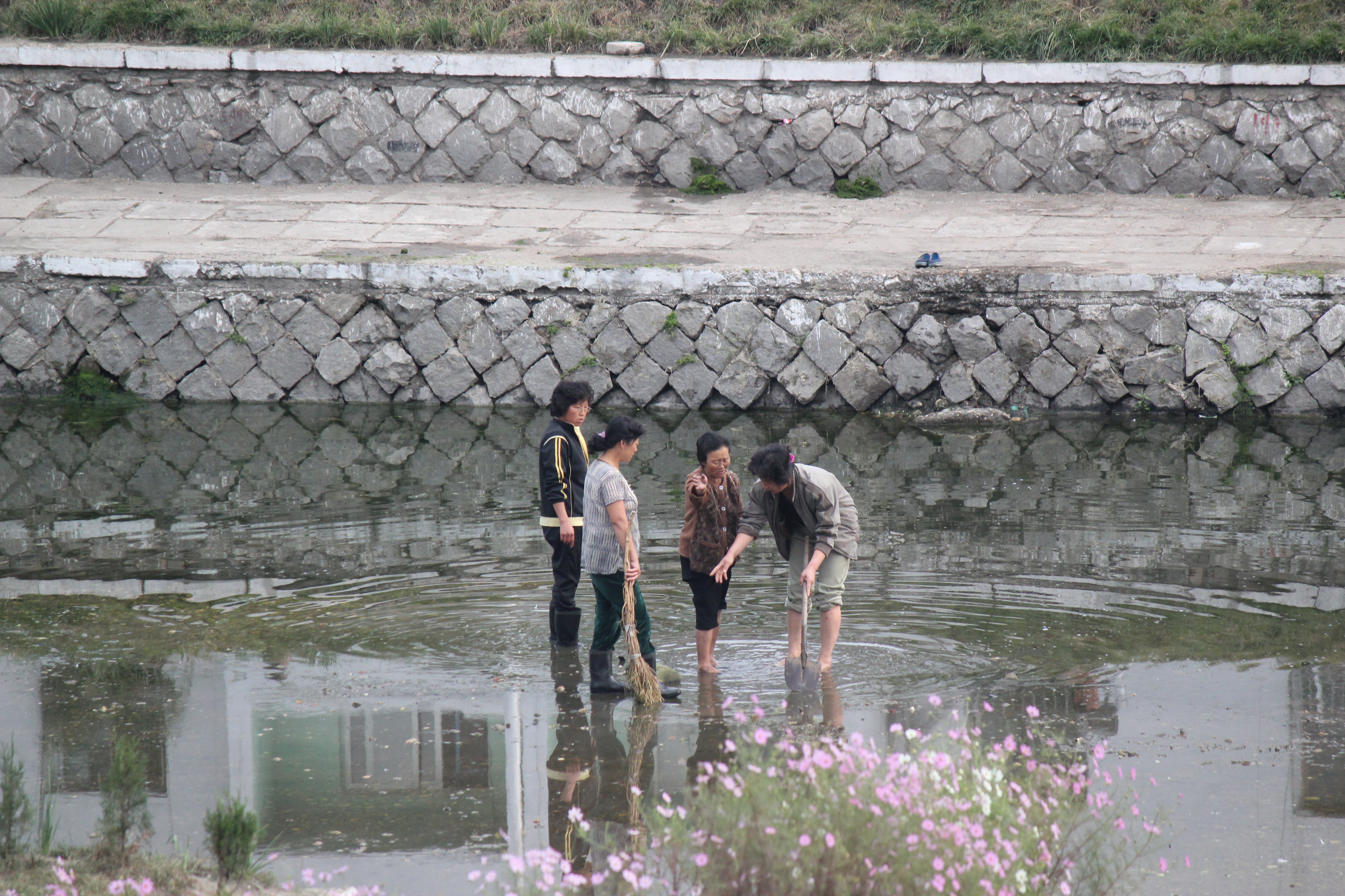
Canal Cleaning in Pyongsong
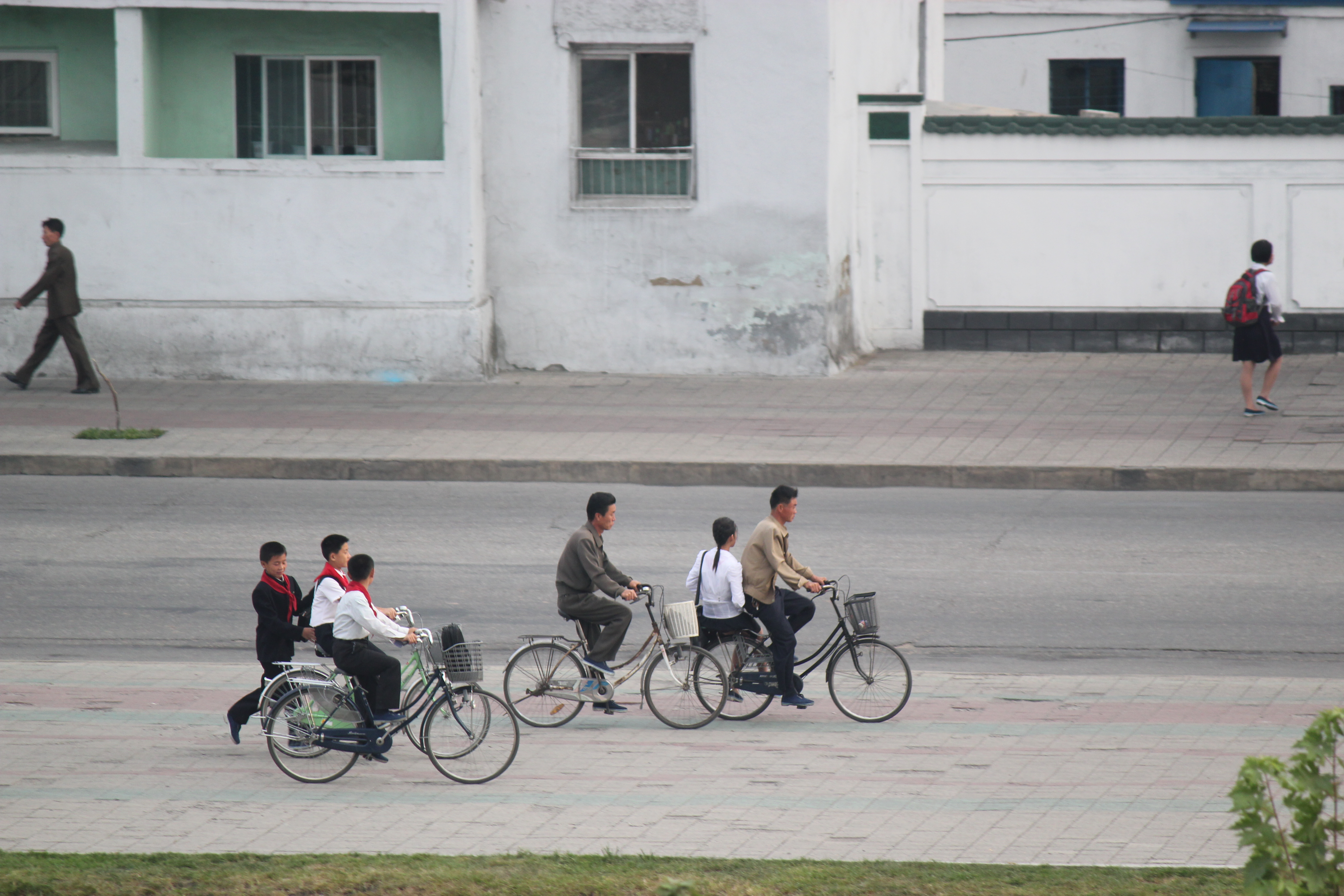
Commuting Cyclists Pyongsong North Korea

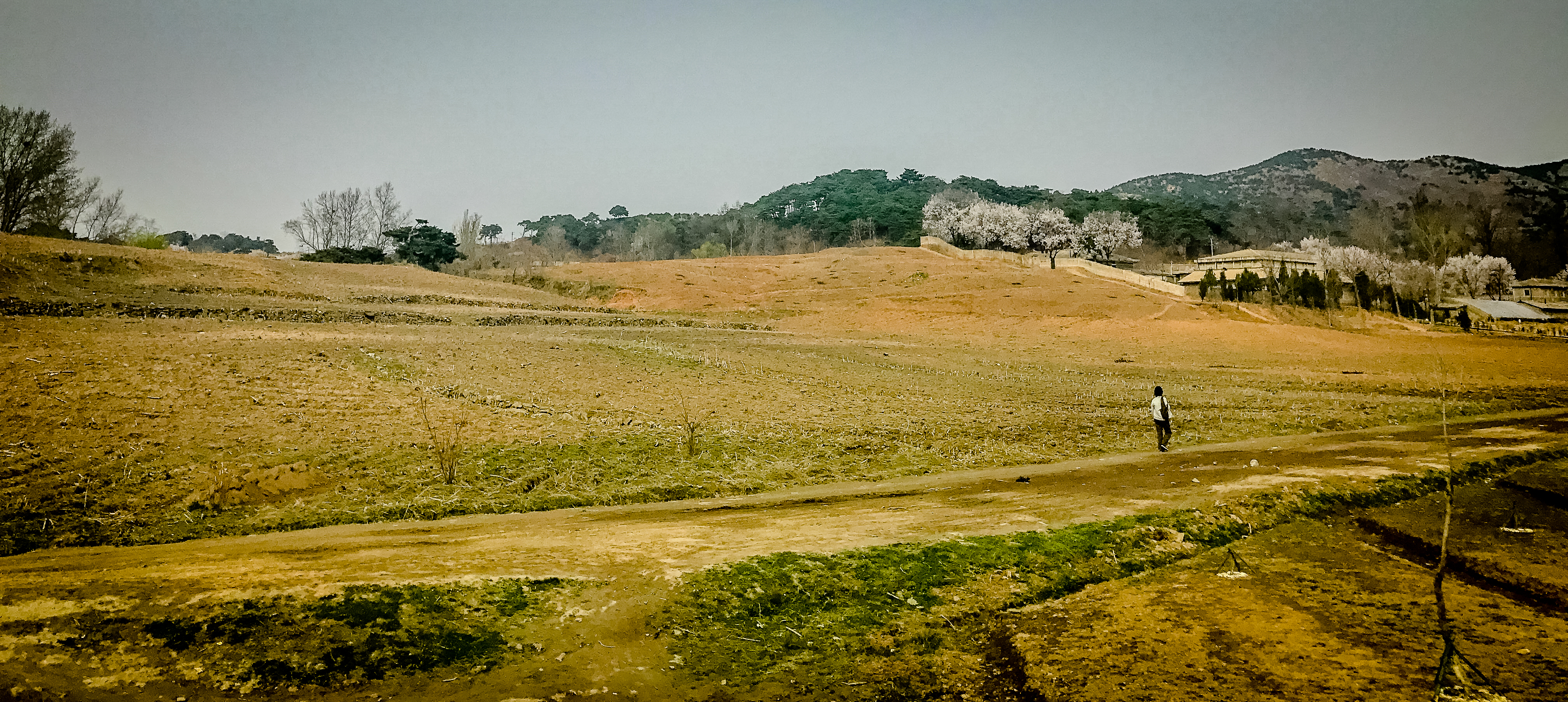
On the way to Samjiyon
170426_Nordkorea_0038.jpg
Asie2017-1-206
Asie2017-1-205
Topographic Map of Pyŏngsŏng, South Pyongan, North Korea
Find elevation by address:

Places near Pyŏngsŏng, South Pyongan, North Korea:
4.25 문화회관
Sino-korean Friendship Tower
Moranbong District
Taedonggang District
Pyongyang
Mansudae Assembly Hall
Ryongwang Pavilion
Koryo Hotel
Pyongyang Station
Pyongyang
South Pyongan
Nakrang District
Chunghwa
Hukkyo
Songnim
Hwangju
Nampo
Sariwon
Bongsan Station
Heungsu Station
Recent Searches:
- Elevation of Corso Fratelli Cairoli, 35, Macerata MC, Italy
- Elevation of Tallevast Rd, Sarasota, FL, USA
- Elevation of 4th St E, Sonoma, CA, USA
- Elevation of Black Hollow Rd, Pennsdale, PA, USA
- Elevation of Oakland Ave, Williamsport, PA, USA
- Elevation of Pedrógão Grande, Portugal
- Elevation of Klee Dr, Martinsburg, WV, USA
- Elevation of Via Roma, Pieranica CR, Italy
- Elevation of Tavkvetili Mountain, Georgia
- Elevation of Hartfords Bluff Cir, Mt Pleasant, SC, USA