Elevation of Puntarenas Province, San Vito, Costa Rica
Location: Costa Rica > Puntarenas >
Longitude: -82.968973
Latitude: 8.82288
Elevation: 971m / 3186feet
Barometric Pressure: 90KPa
Elevation Map:
Satellite Map:
Related Photos:
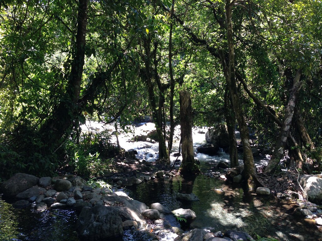
Catarata El Salto

Pygmy Robber Frog
The Orchid & Spider Wasp - 1

Slate-throated Redstart
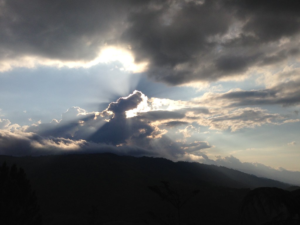
Volcan Baru highest mountain in Panama

Probably an Orange-Bellied Skimmer
Large Spikemoss
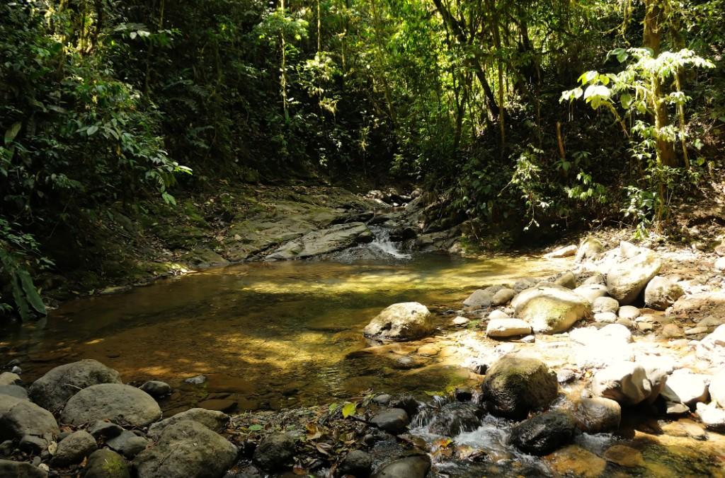
Sunlight on Forest Stream Pool
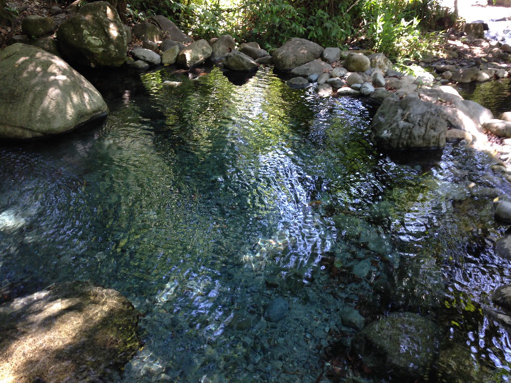
Costa R 2015 203

Costa R 2015 168
Costa R 2015 194
Costa R 2015 193

Territorio indígena ngöbe La Casona
wall - IMG_0069

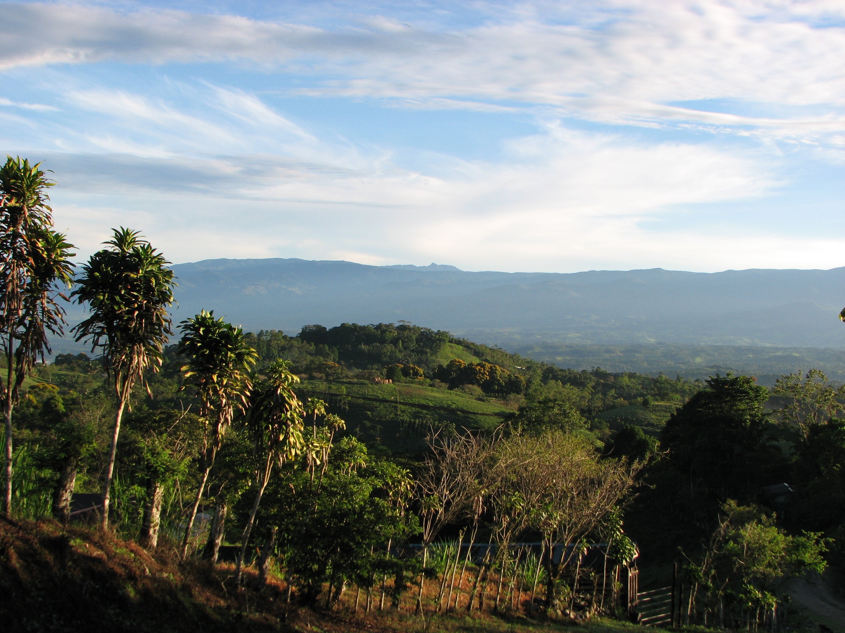
Costa Rica Highlands
Topographic Map of Puntarenas Province, San Vito, Costa Rica
Find elevation by address:

Places near Puntarenas Province, San Vito, Costa Rica:
Coto Brus
Golfito
Esperanza
Puerto Jiménez
Buenos Aires Airport
Buenos Aires
Sierpe
7qmx+j7
Durika Community And Biological Reserve
Puntarenas
Osa Mountain Village Entrance
Ciudad Cortés
Balsar
Carate
Bahía Drake
El Progreso
Longo Mai
Drake Bay
Sirena Ranger Station
Calle Túcan
Recent Searches:
- Elevation of Corso Fratelli Cairoli, 35, Macerata MC, Italy
- Elevation of Tallevast Rd, Sarasota, FL, USA
- Elevation of 4th St E, Sonoma, CA, USA
- Elevation of Black Hollow Rd, Pennsdale, PA, USA
- Elevation of Oakland Ave, Williamsport, PA, USA
- Elevation of Pedrógão Grande, Portugal
- Elevation of Klee Dr, Martinsburg, WV, USA
- Elevation of Via Roma, Pieranica CR, Italy
- Elevation of Tavkvetili Mountain, Georgia
- Elevation of Hartfords Bluff Cir, Mt Pleasant, SC, USA