Elevation of Buenos Aires Airport, Puntarenas Province, Buenos Aires, Costa Rica
Location: Costa Rica > Puntarenas > Buenos Aires >
Longitude: -83.330312
Latitude: 9.1641831
Elevation: 376m / 1234feet
Barometric Pressure: 97KPa
Elevation Map:
Satellite Map:
Related Photos:

Mountains viewed from grasslands

Mountains viewed from grasslands
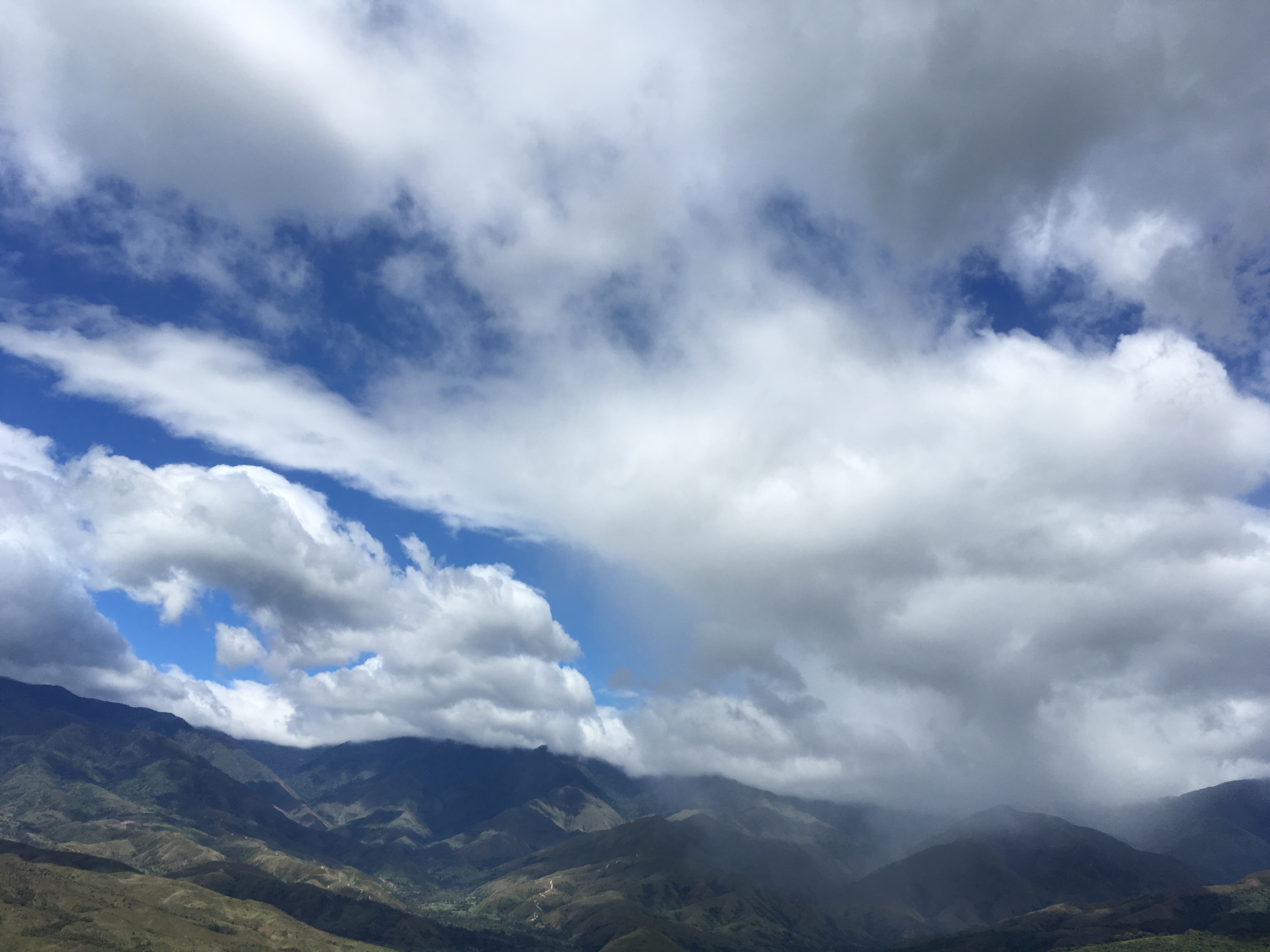
Mountains viewed from grasslands

Mountains viewed from grasslands

The green scenery of Costa Rica

Open-air cafeteria on the Pan American Highway

Produce stand on the Pan American Highway

typical rural landscape

Cafeteria on the Pan American Highway
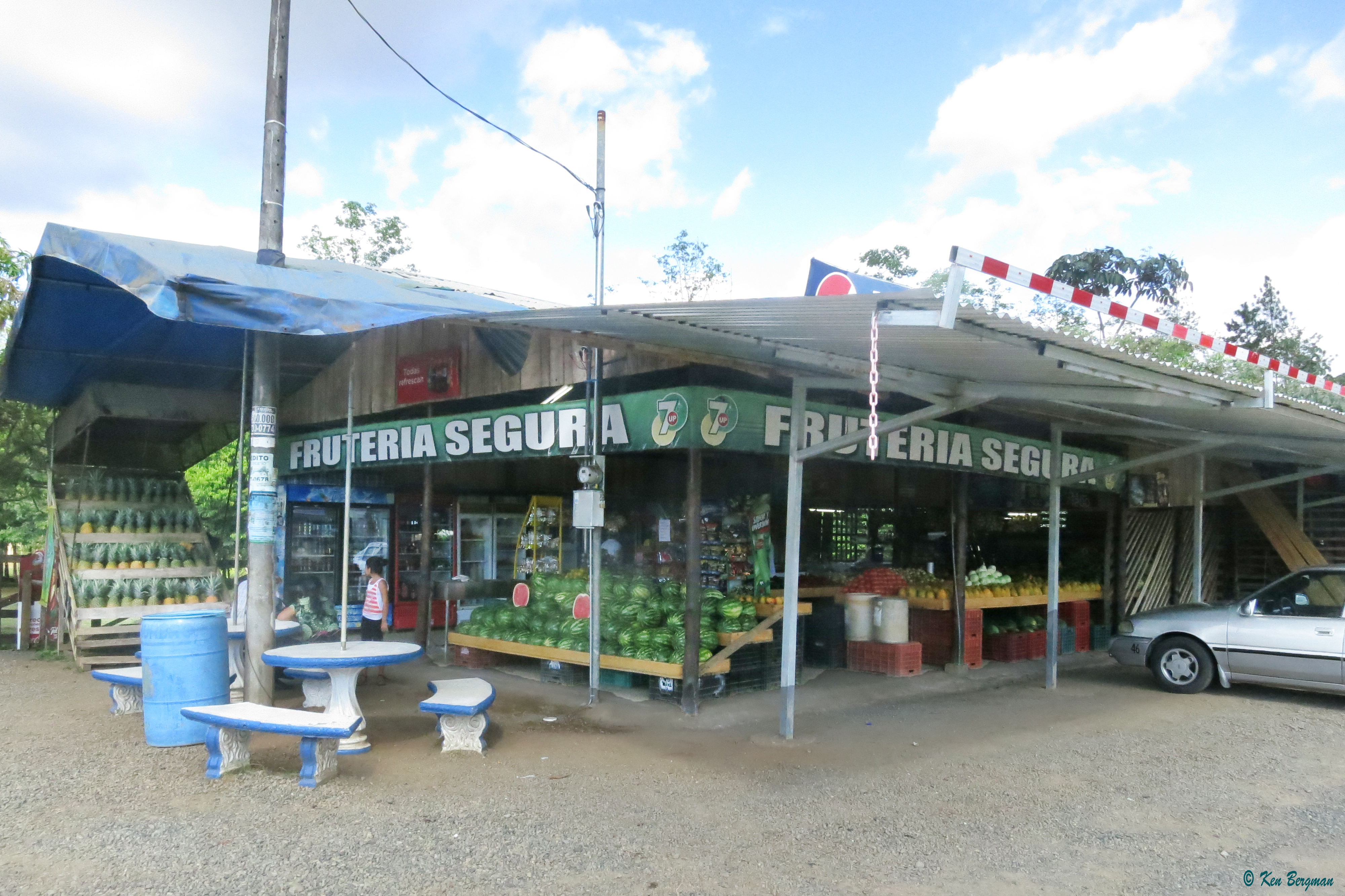
Produce stand on the Pan American Highway

Produce stand on the Pan American Highway

Rio General south of Pasco Real, PZ

Territorio Indígena Salitre

Salitre highland with Mari-Fer

Territorio indígena. CABAGRA

Territorio indígena. CABAGRA

Costa Rica 2012 San Buenaventura

Marsh with rainbow

Mari-Fer

Costa Rica 2012 San Buenaventura
Topographic Map of Buenos Aires Airport, Puntarenas Province, Buenos Aires, Costa Rica
Find elevation by address:

Places near Buenos Aires Airport, Puntarenas Province, Buenos Aires, Costa Rica:
Buenos Aires
Puntarenas
Durika Community And Biological Reserve
7qmx+j7
Longo Mai
Balsar
8fvv+xg
Osa Mountain Village Entrance
Ciudad Cortés
Calle Túcan
Sierpe
Ojochal
Ojochal
Coto Brus
Oratorio
Cerro Chirripó
Pérez Zeledón
Fc5c+33
'la Montana Azul'
La Cusinga Lodge
Recent Searches:
- Elevation of Corso Fratelli Cairoli, 35, Macerata MC, Italy
- Elevation of Tallevast Rd, Sarasota, FL, USA
- Elevation of 4th St E, Sonoma, CA, USA
- Elevation of Black Hollow Rd, Pennsdale, PA, USA
- Elevation of Oakland Ave, Williamsport, PA, USA
- Elevation of Pedrógão Grande, Portugal
- Elevation of Klee Dr, Martinsburg, WV, USA
- Elevation of Via Roma, Pieranica CR, Italy
- Elevation of Tavkvetili Mountain, Georgia
- Elevation of Hartfords Bluff Cir, Mt Pleasant, SC, USA