Elevation of Punta de Maisi, Cuba
Location: Cuba > Guantanamo > Maisi >
Longitude: -74.153356
Latitude: 20.2258318
Elevation: 45m / 148feet
Barometric Pressure: 101KPa
Elevation Map:
Satellite Map:
Related Photos:
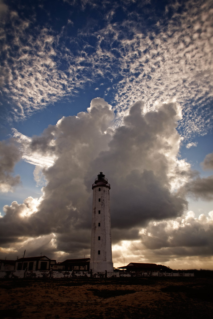
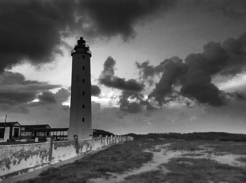
The Maisi Lighthouse

The Easternmost Point of Cuba...
187/366

aguacero acercandose a la costa cubana
Topographic Map of Punta de Maisi, Cuba
Find elevation by address:

Places in Punta de Maisi, Cuba:
Places near Punta de Maisi, Cuba:
Faro De Punta De Maisí.
Maisi
Cabacu
Baracoa
Great Inagua Lighthouse
Matthew Town
Mortimers Hill
Saltpond Hill
Lake Rosa
Inagua Islands
Inagua
Recent Searches:
- Elevation of Corso Fratelli Cairoli, 35, Macerata MC, Italy
- Elevation of Tallevast Rd, Sarasota, FL, USA
- Elevation of 4th St E, Sonoma, CA, USA
- Elevation of Black Hollow Rd, Pennsdale, PA, USA
- Elevation of Oakland Ave, Williamsport, PA, USA
- Elevation of Pedrógão Grande, Portugal
- Elevation of Klee Dr, Martinsburg, WV, USA
- Elevation of Via Roma, Pieranica CR, Italy
- Elevation of Tavkvetili Mountain, Georgia
- Elevation of Hartfords Bluff Cir, Mt Pleasant, SC, USA