Elevation of Maisi, Cuba
Location: Cuba > Guantanamo >
Longitude: -74.264882
Latitude: 20.2302735
Elevation: 315m / 1033feet
Barometric Pressure: 98KPa
Elevation Map:
Satellite Map:
Related Photos:
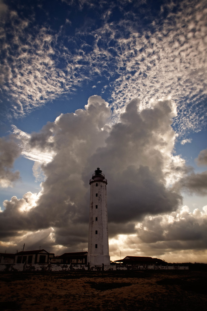
The Maisi Lighthouse

The Easternmost Point of Cuba...
187/366

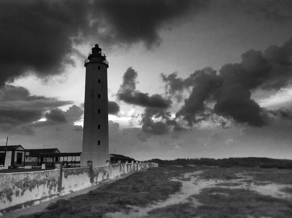
The Brewing Storm

aguacero acercandose a la costa cubana
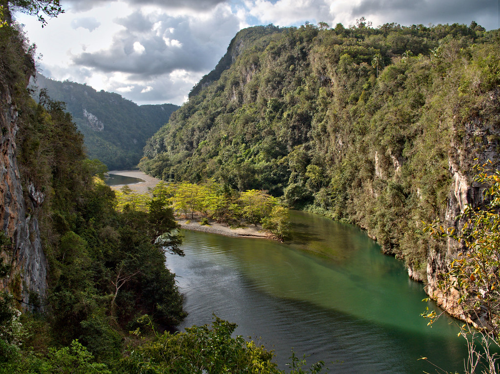
Rio Yumuri
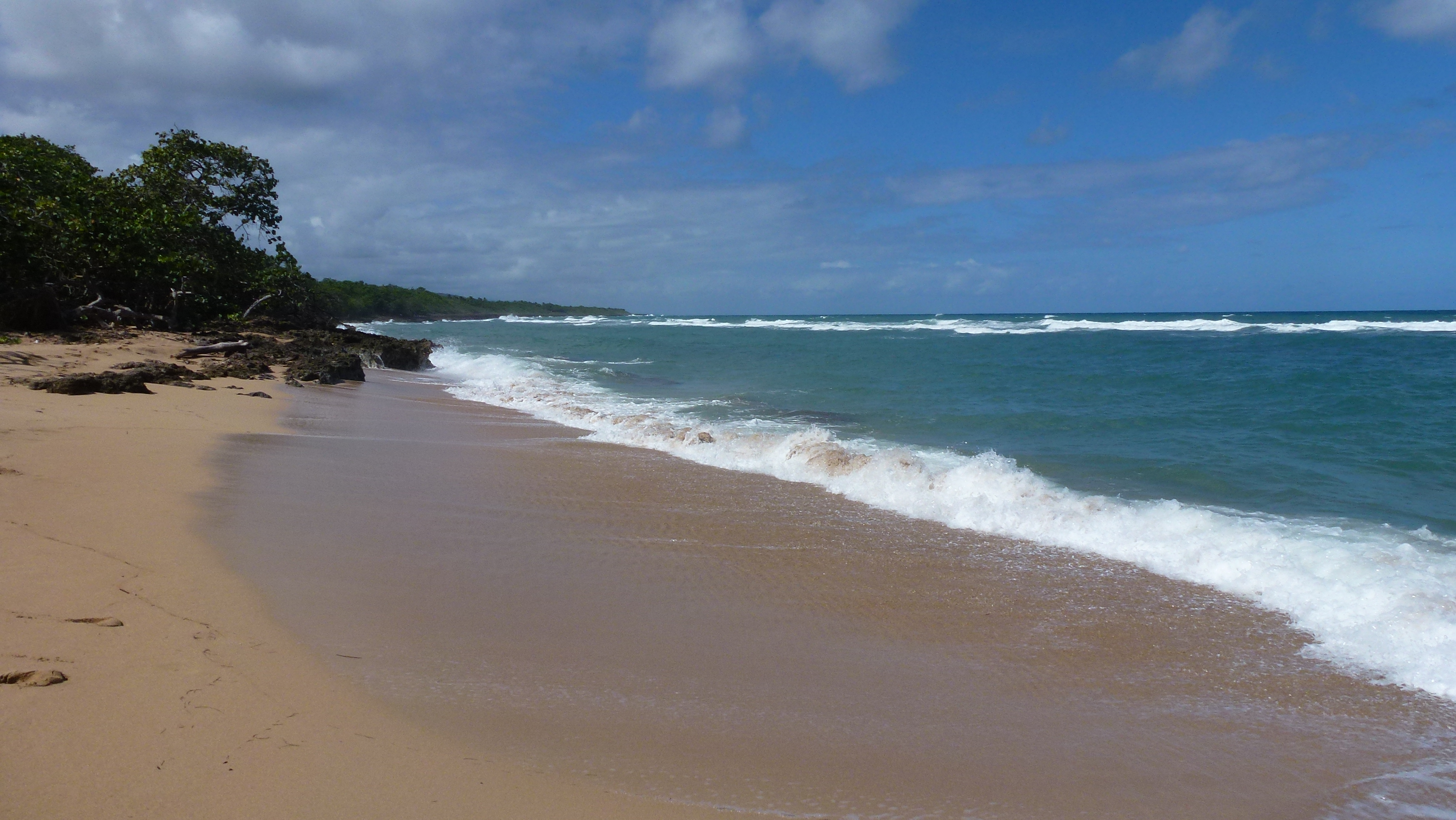
Cuba November 2013 184

Cuba November 2013 181

Cuba November 2013 182

Cuba November 2013 185
Cuba November 2013 193
Cuba November 2013 176
Topographic Map of Maisi, Cuba
Find elevation by address:

Places in Maisi, Cuba:
Places near Maisi, Cuba:
Punta De Maisi
Faro De Punta De Maisí.
Cabacu
Baracoa
Great Inagua Lighthouse
Matthew Town
Mortimers Hill
Saltpond Hill
Lake Rosa
Inagua Islands
Inagua
Recent Searches:
- Elevation of Corso Fratelli Cairoli, 35, Macerata MC, Italy
- Elevation of Tallevast Rd, Sarasota, FL, USA
- Elevation of 4th St E, Sonoma, CA, USA
- Elevation of Black Hollow Rd, Pennsdale, PA, USA
- Elevation of Oakland Ave, Williamsport, PA, USA
- Elevation of Pedrógão Grande, Portugal
- Elevation of Klee Dr, Martinsburg, WV, USA
- Elevation of Via Roma, Pieranica CR, Italy
- Elevation of Tavkvetili Mountain, Georgia
- Elevation of Hartfords Bluff Cir, Mt Pleasant, SC, USA