Elevation of Provincia de Guanacaste, Monte Romo, Costa Rica
Location: Costa Rica > Guanacaste >
Longitude: -85.382079
Latitude: 9.9998634
Elevation: 684m / 2244feet
Barometric Pressure: 93KPa
Elevation Map:
Satellite Map:
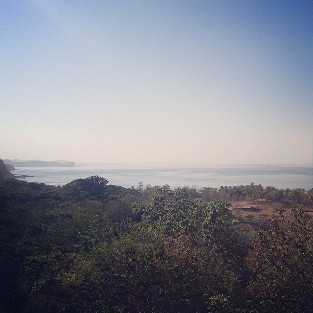
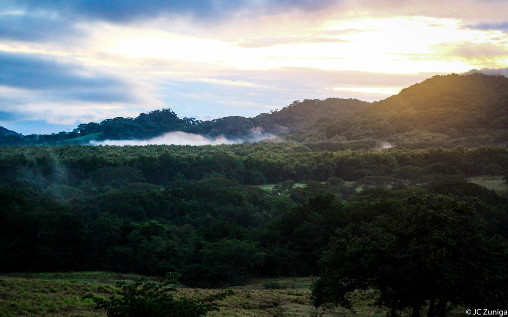
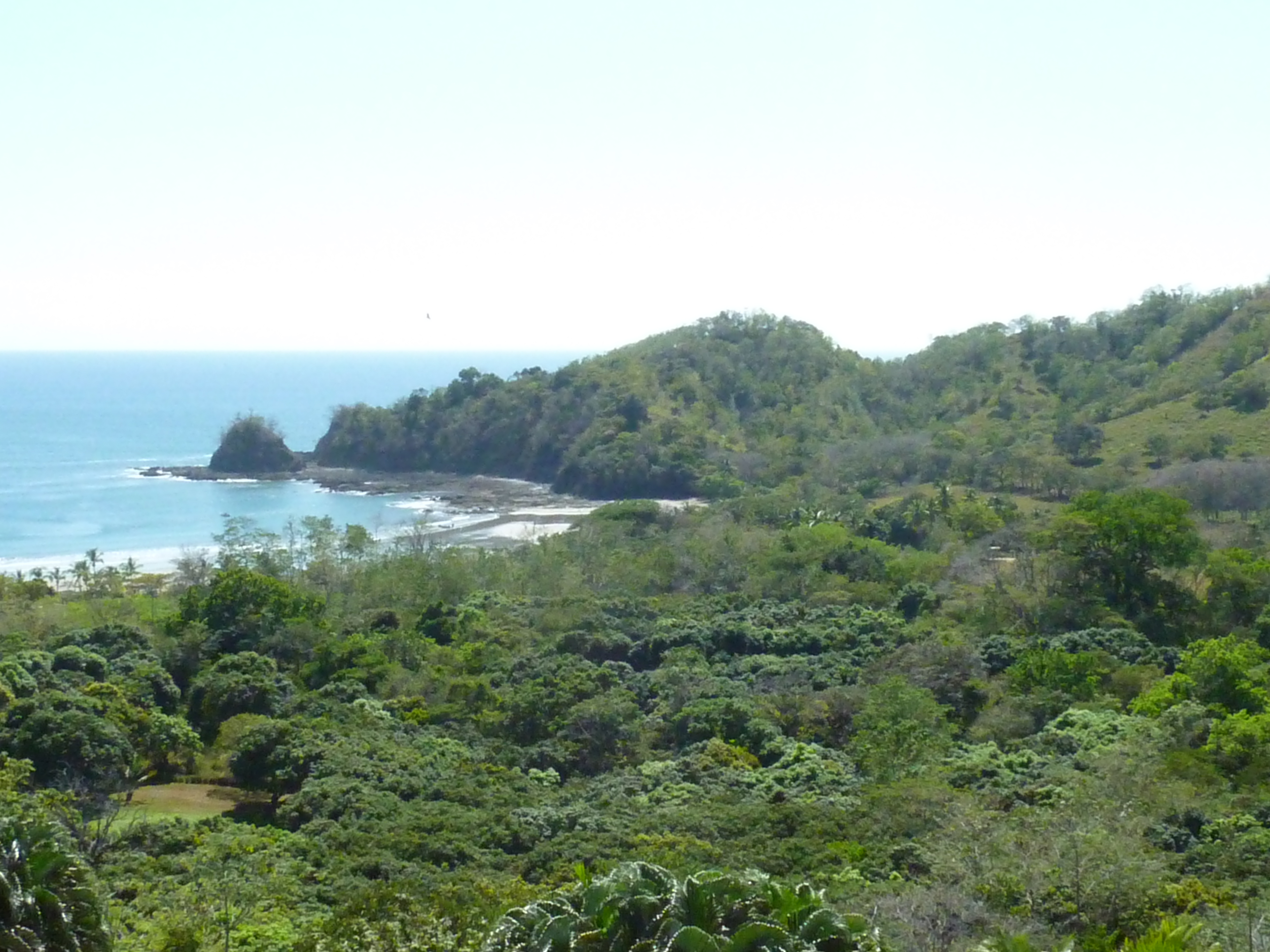
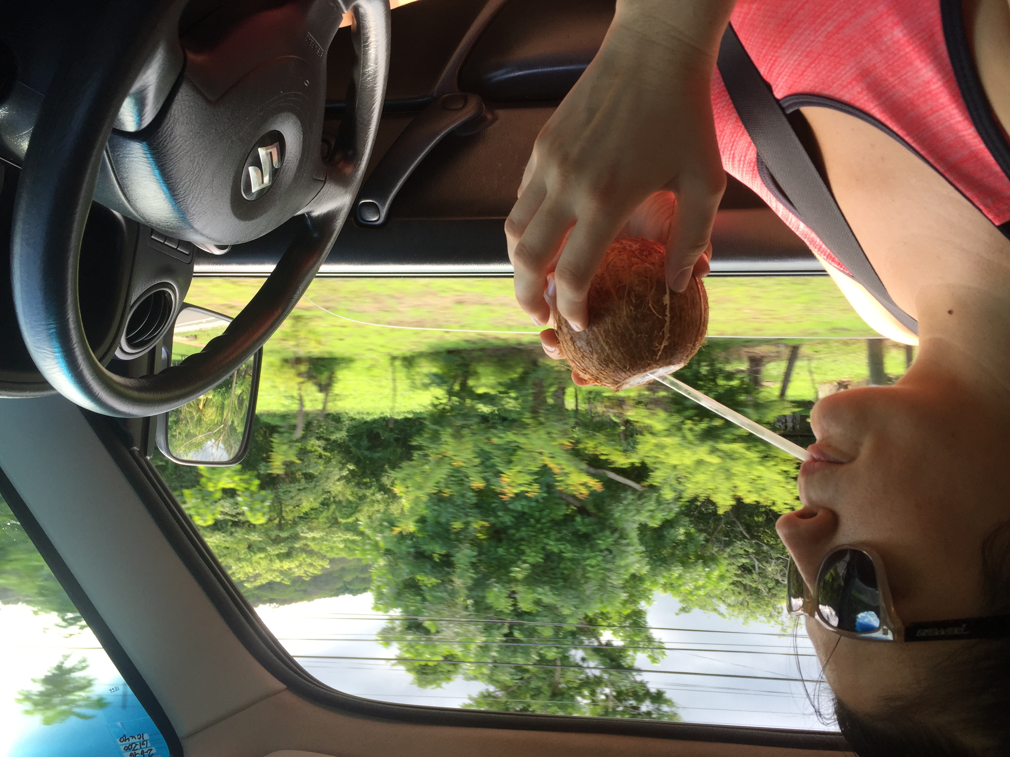
Related Photos:
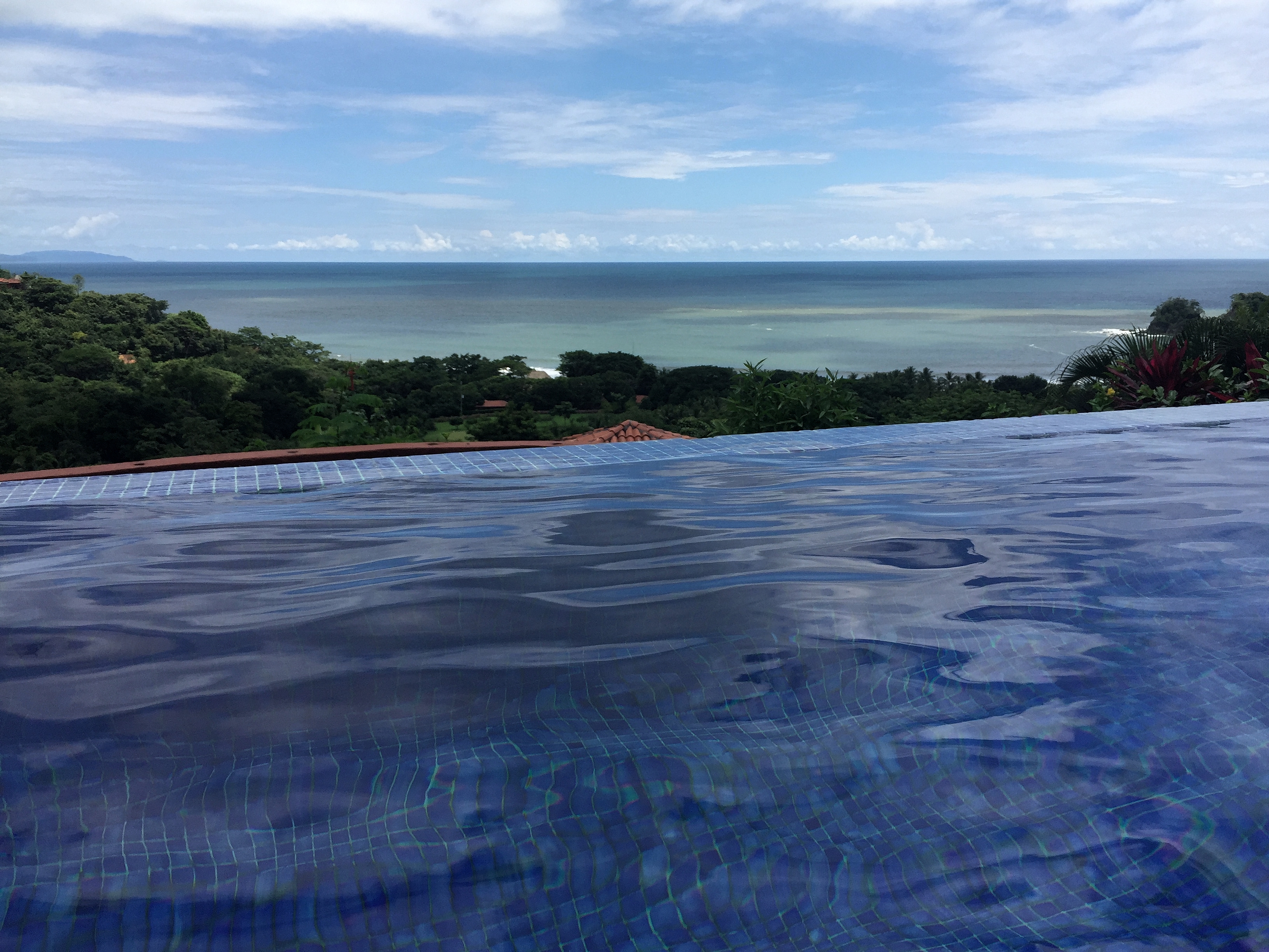
A very, very difficult view to wake up to.

Playa Carrillo

Vorsicht…
Sunrise colors
Costa Rica Punta Islita

Dimas Sequeira
Costa Rica, June 2016

Costa Rica, June 2016
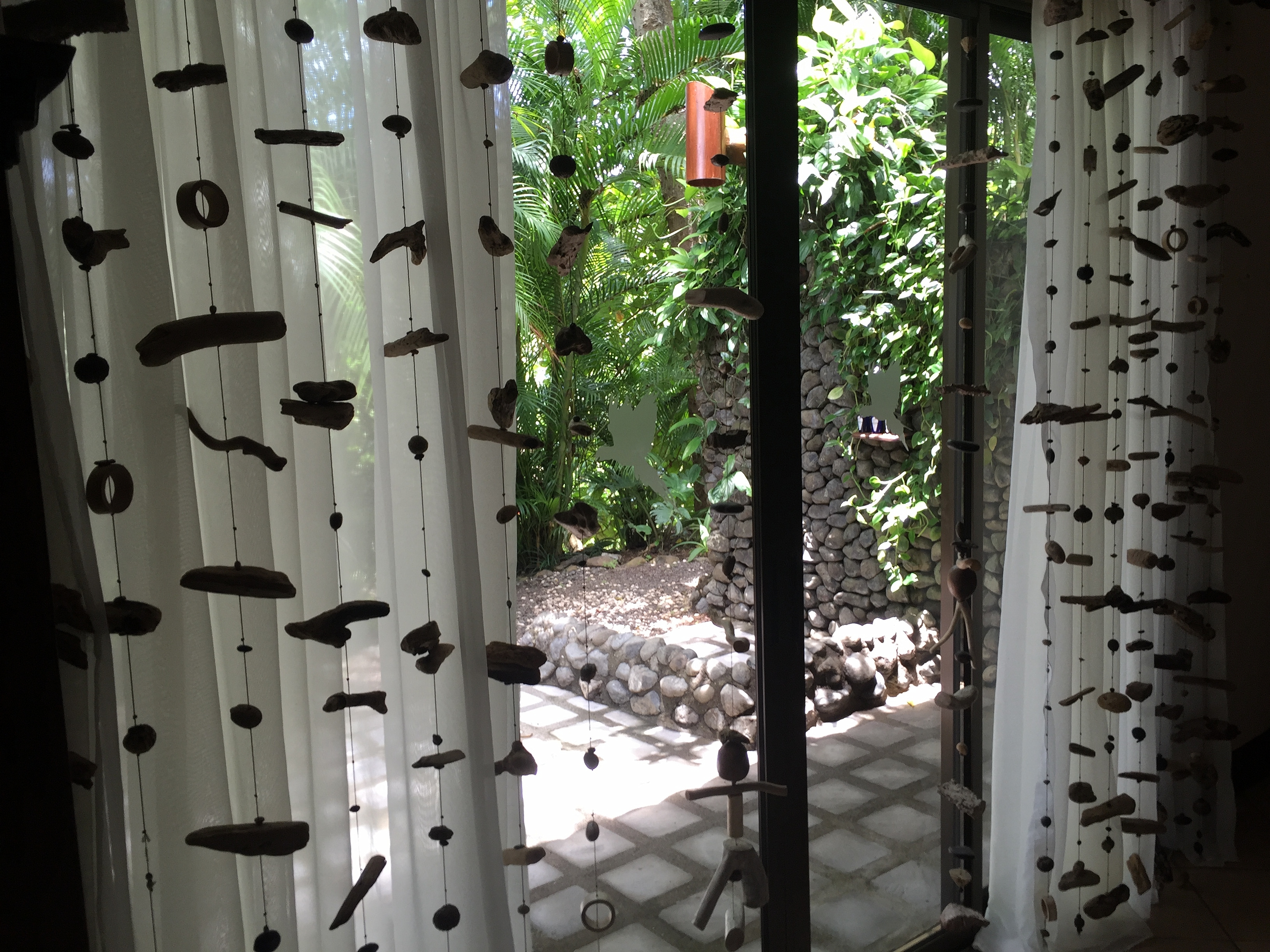
G0093297.jpg
Entrada Principal

Night Club

Looking up at Palms, Playa Carrillo, Costa Rica
_MG_8804.jpg

_MG_8802.jpg

Taking the Red Eye 1037
2016 Punta islita 089 cel
2016 Punta islita 090 cel
2016 Punta islita 091 cel
2016 Punta islita 092 cel
2016 Punta islita 093 cel
2016 Punta islita 094 cel
2016 Punta islita 095 cel
Topographic Map of Provincia de Guanacaste, Monte Romo, Costa Rica
Find elevation by address:

Places near Provincia de Guanacaste, Monte Romo, Costa Rica:
Nicoya Peninsula
Hojancha
Santa Elena
Carmona
Hotel Peace & Lodge
Maquenco
Terciopelo
Barra Honda De Nicoya
Nicoya
Sámara
Parque Nacional Barra Honda
Quebrada Honda
Moracia De Nicoya
Santa Cruz
Abangares
San Francisco
Guanacaste Waldorf School
Filadelfia De Guanacaste
Cartagena
Guanacaste
Recent Searches:
- Elevation of Corso Fratelli Cairoli, 35, Macerata MC, Italy
- Elevation of Tallevast Rd, Sarasota, FL, USA
- Elevation of 4th St E, Sonoma, CA, USA
- Elevation of Black Hollow Rd, Pennsdale, PA, USA
- Elevation of Oakland Ave, Williamsport, PA, USA
- Elevation of Pedrógão Grande, Portugal
- Elevation of Klee Dr, Martinsburg, WV, USA
- Elevation of Via Roma, Pieranica CR, Italy
- Elevation of Tavkvetili Mountain, Georgia
- Elevation of Hartfords Bluff Cir, Mt Pleasant, SC, USA