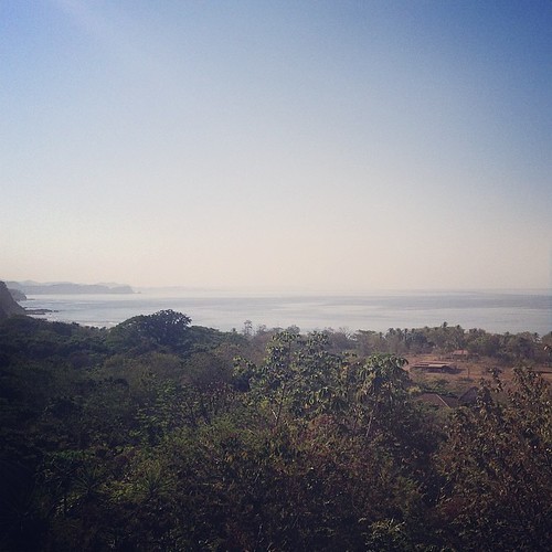
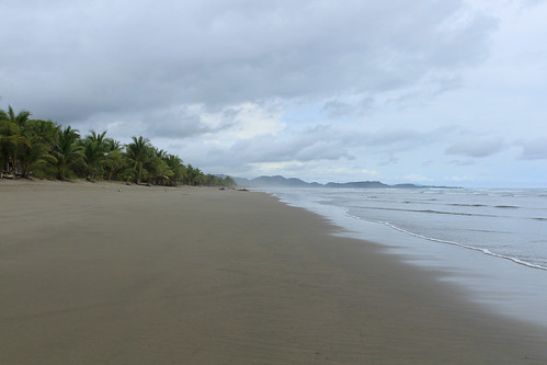
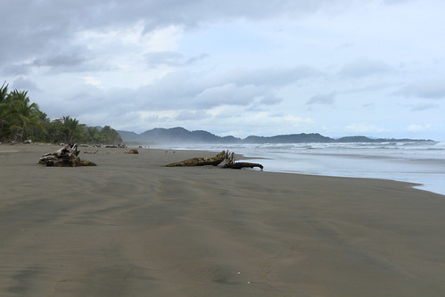
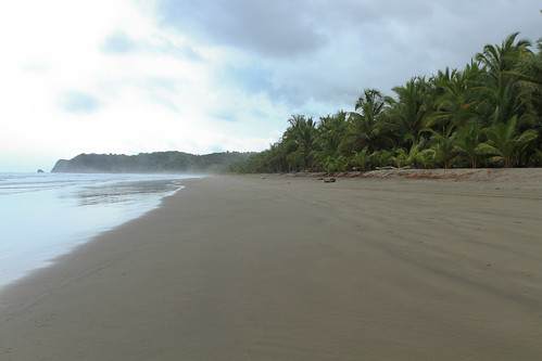
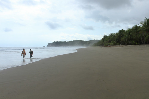
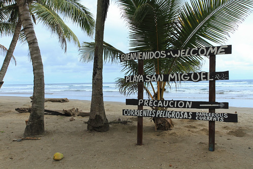
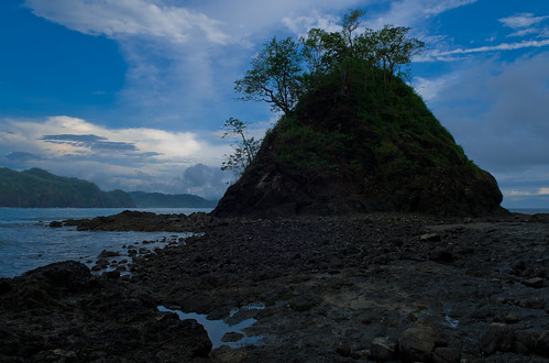
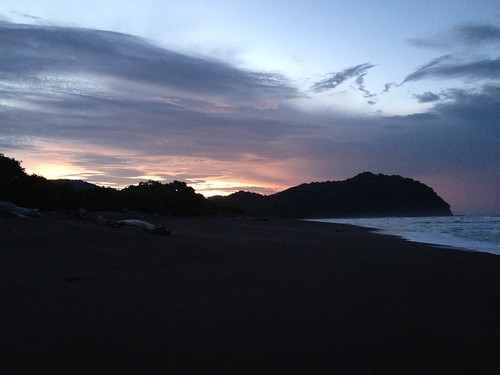
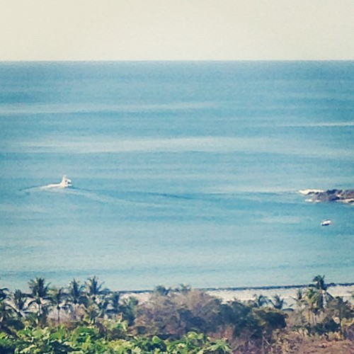
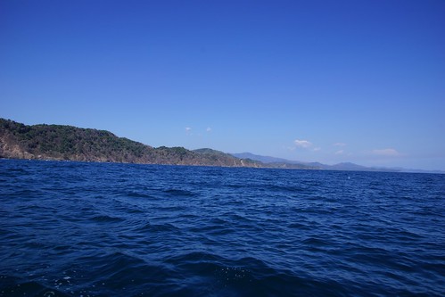
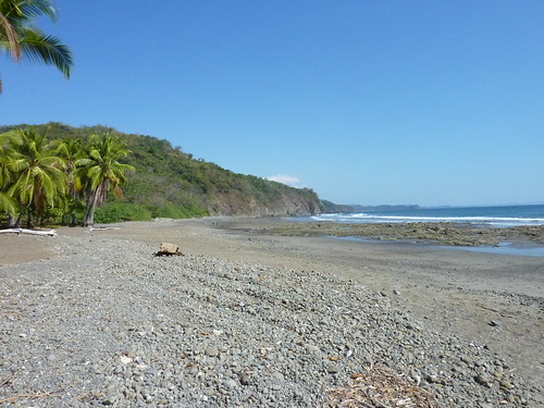
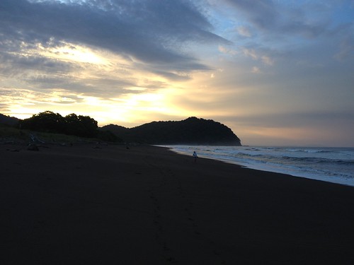
Elevation map of Nicoya Peninsula, Costa Rica
Location: Costa Rica > Guanacaste >
Longitude: -85.354965
Latitude: 9.9590676
Elevation: 199m / 653feet
Barometric Pressure: 99KPa
Related Photos:
Topographic Map of Nicoya Peninsula, Costa Rica
Find elevation by address:

Places near Nicoya Peninsula, Costa Rica:
Monte Romo
Carmona
Hojancha
Santa Elena
Hotel Peace & Lodge
Maquenco
Terciopelo
Barra Honda De Nicoya
Sámara
Nicoya
Parque Nacional Barra Honda
Quebrada Honda
Moracia De Nicoya
Abangares
Santa Cruz
San Francisco
Guanacaste Waldorf School
Filadelfia De Guanacaste
Terminal De Buses De Puntarenas - San José
Punta Arenas
Recent Searches:
- Elevation of Corso Fratelli Cairoli, 35, Macerata MC, Italy
- Elevation of Tallevast Rd, Sarasota, FL, USA
- Elevation of 4th St E, Sonoma, CA, USA
- Elevation of Black Hollow Rd, Pennsdale, PA, USA
- Elevation of Oakland Ave, Williamsport, PA, USA
- Elevation of Pedrógão Grande, Portugal
- Elevation of Klee Dr, Martinsburg, WV, USA
- Elevation of Via Roma, Pieranica CR, Italy
- Elevation of Tavkvetili Mountain, Georgia
- Elevation of Hartfords Bluff Cir, Mt Pleasant, SC, USA
