Elevation of Proctor, VT, USA
Location: United States > Vermont > Rutland County >
Longitude: -73.0356641
Latitude: 43.6606225
Elevation: 152m / 499feet
Barometric Pressure: 0KPa
Related Photos:

Barn Across The Field
view along the D&H rail trail in Castleton, VT

Return to Rutland

Long View III

Pico Mountain and Foliage_8973

Big Sky

Diggs takes in the view - 10/10/19

J. L. Barker Residence (1877) - side view
The View

Fisherman's Long View

Rink Side View

Pico mountain view

The Lake House
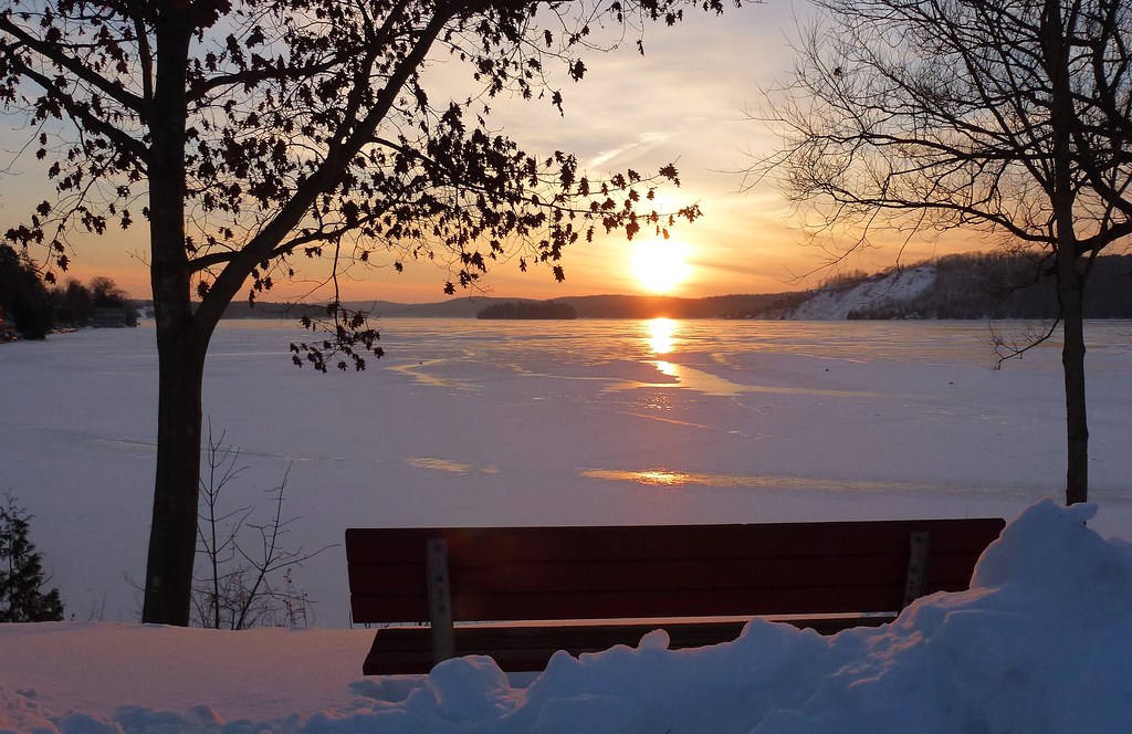
Bench Side View

Sunrise by the West Side

Closer View [Explored 8.15.2012]

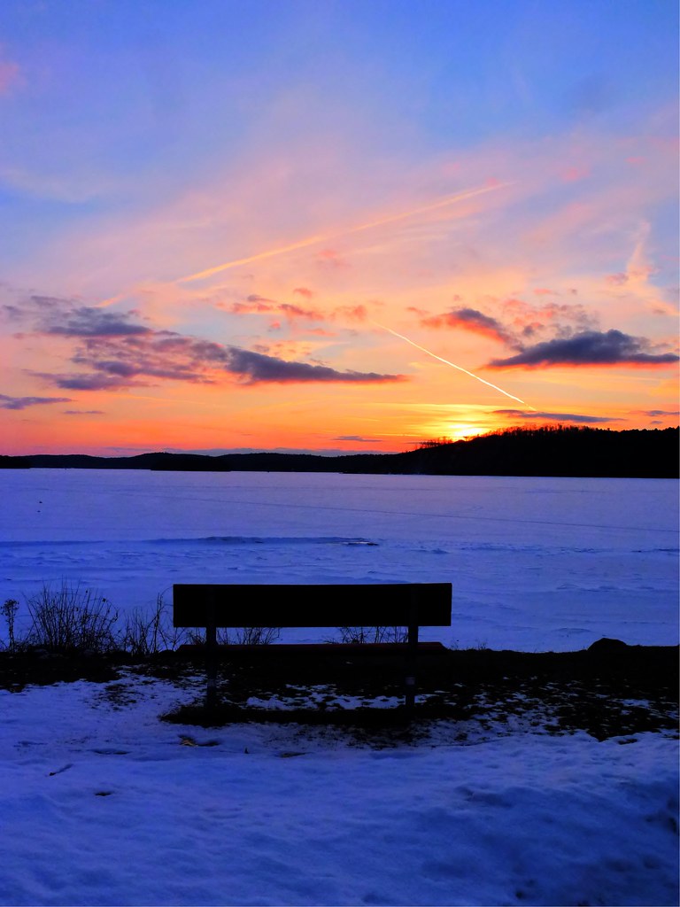
Lakeside Sunset

Rink Side View

2016 06-15 1842 VTR GP40-2LW-311, GP38-206 on GMRC-264 N/B Rutland, VT

Pico Moiuntain and Foliage_0312

2016 06-14 0948 VTR SD70M-2-432 S/B RDNR Clarendon, VT
Smoky Sunrise

Winter Sunday Sunrise

Walking to Mt Zion - Explored

Ice Fishing Love

Merry Christmas From Lake Bomoseen

Vermont Fall

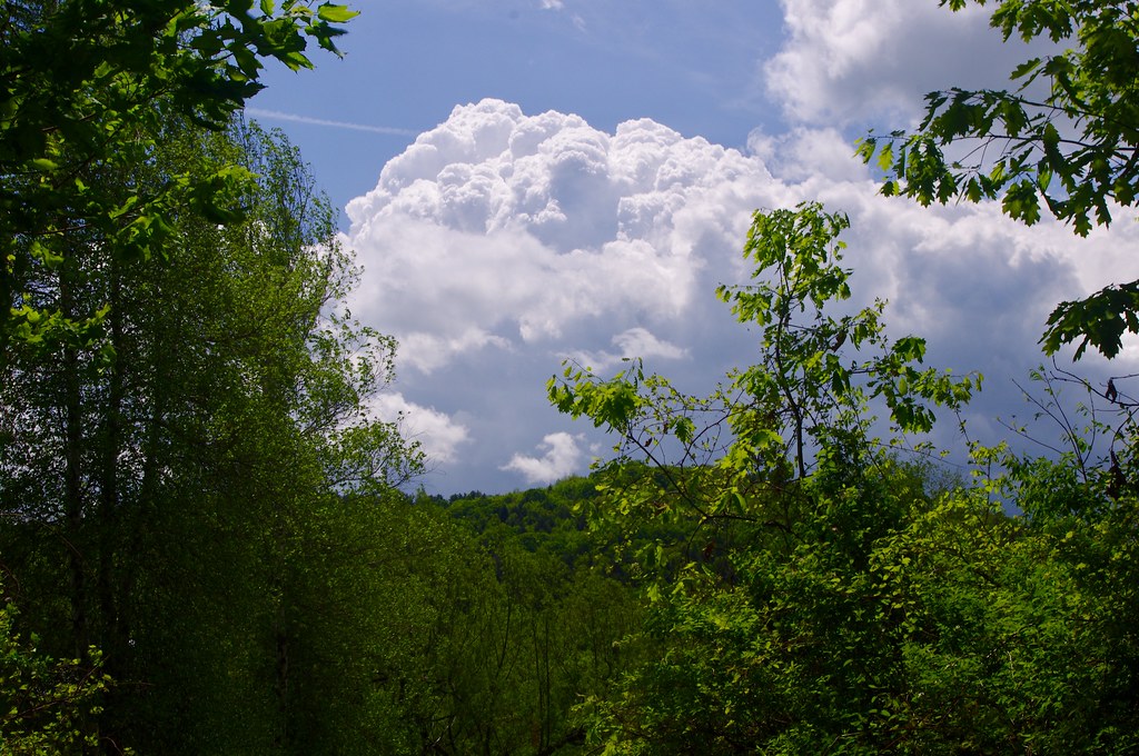
a place in the clouds

All Is Calm...All is Bright - (Explored 12/20/2012)

Sunrise by the Shore

Pico Mountain and Foliage_8974

Cold River

Dawn's First Light

The Beaver - Explored - 5/11/2013

Let The Light Shine - Explored 12/26/2012

Bench View II
Cloud Reflections...

Fishing House
Topographic Map of Proctor, VT, USA
Find elevation by address:

Places in Proctor, VT, USA:
Places near Proctor, VT, USA:
4 Warner Ave
634 Stevens Rd
Rutland County
Rutland, Vt
Pittsford
Floormaster
Durgy Hill Rd, West Rutland, VT, USA
141 Parker Rd
Florence
36 Hazel St
225 State St
167 State St
333 Creed Hill Rd
142 Maple St
232 West St
100 State St
49 Pinecrest Rd, Rutland, VT, USA
Rutland
40 N Main St, Rutland, VT, USA
355 Shadow Ln
Recent Searches:
- Elevation of 10370, West 107th Circle, Westminster, Jefferson County, Colorado, 80021, USA
- Elevation of 611, Roman Road, Old Ford, Bow, London, England, E3 2RW, United Kingdom
- Elevation of 116, Beartown Road, Underhill, Chittenden County, Vermont, 05489, USA
- Elevation of Window Rock, Colfax County, New Mexico, 87714, USA
- Elevation of 4807, Rosecroft Street, Kempsville Gardens, Virginia Beach, Virginia, 23464, USA
- Elevation map of Matawinie, Quebec, Canada
- Elevation of Sainte-Émélie-de-l'Énergie, Matawinie, Quebec, Canada
- Elevation of Rue du Pont, Sainte-Émélie-de-l'Énergie, Matawinie, Quebec, J0K2K0, Canada
- Elevation of 8, Rue de Bécancour, Blainville, Thérèse-De Blainville, Quebec, J7B1N2, Canada
- Elevation of Wilmot Court North, 163, University Avenue West, Northdale, Waterloo, Region of Waterloo, Ontario, N2L6B6, Canada
- Elevation map of Panamá Province, Panama
- Elevation of Balboa, Panamá Province, Panama
- Elevation of San Miguel, Balboa, Panamá Province, Panama
- Elevation of Isla Gibraleón, San Miguel, Balboa, Panamá Province, Panama
- Elevation of 4655, Krischke Road, Schulenburg, Fayette County, Texas, 78956, USA
- Elevation of Carnegie Avenue, Downtown Cleveland, Cleveland, Cuyahoga County, Ohio, 44115, USA
- Elevation of Walhonding, Coshocton County, Ohio, USA
- Elevation of Clifton Down, Clifton, Bristol, City of Bristol, England, BS8 3HU, United Kingdom
- Elevation map of Auvergne-Rhône-Alpes, France
- Elevation map of Upper Savoy, Auvergne-Rhône-Alpes, France