Elevation of Prinza, Rizal, Philippines
Location: Philippines > Calabarzon > Rizal >
Longitude: 121.2139841
Latitude: 14.5428414
Elevation: 42m / 138feet
Barometric Pressure: 0KPa
Related Photos:

Backyard View

Philippines -
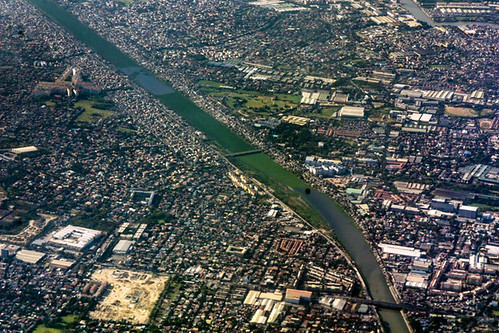
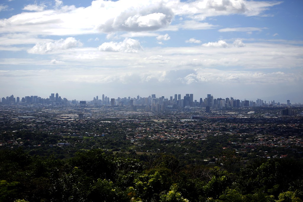
Aerial View of the Philippines

Whatta view

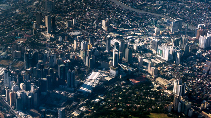
Aerial View of the Philippines

Timberland Heights
Aerial View of the Philippines

"Kokak"

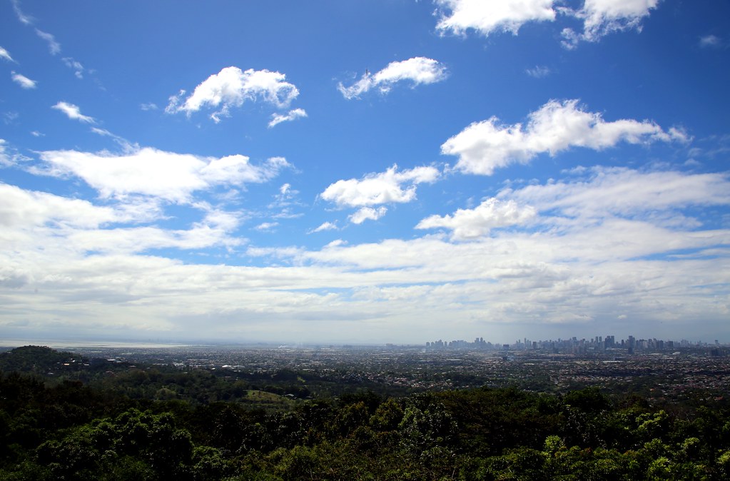
Manila (from Antipolo)

Urban mountain

Daranak Falls
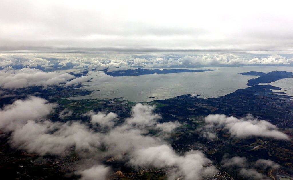
Over Rizal Province

Sta. Ana de Pateros (La Buena Familia)

The last Green field

Manila (from Antipolo)
Up To Antipolo #7

Up To Antipolo #4

Up To Antipolo
Up To Antipolo #5

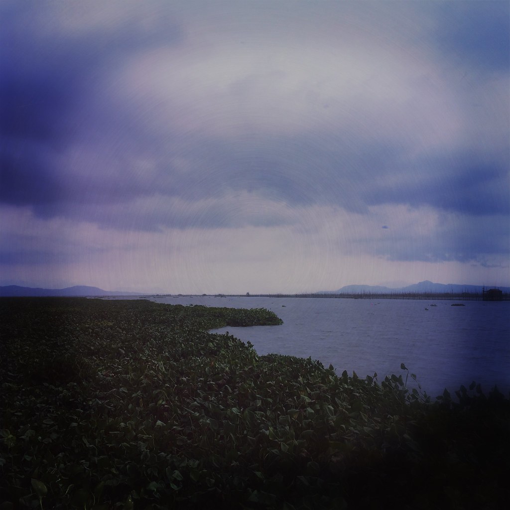
Mangahan Floodway

Bula - 6533

For Whom the Bells Fall

Running Water

Waterfall Season

DJI_0118 sunset

Riding Past Sunset

29/52 "oblivion love"

Snake - @50m

Plant some food

Nov18.2016

jan.27.1

dec6.2016
3801.

nov17.2016

july.27.2

Buildings, Houses and Rice Fields.

july.27.1

Approaching Taguig - PGUM Jump

feb1.2017
Topographic Map of Prinza, Rizal, Philippines
Find elevation by address:

Places in Prinza, Rizal, Philippines:
Places near Prinza, Rizal, Philippines:
Prinza
Unnamed Road
Ridgepoint Subdivision
Ridge Point Subdivision - Teresa Rizal
Dalig
Bagumbayan
Camella La Montagna
Bria La Hacienda
Camella La Hacienda
Barangay San Gabriel
Bloomfield Teresa
San Roque
Dalig Barangay Hall
Teresa
Mahabang Parang
Mount Fuji
Zigzag Antipolo City
Bagumbayan
Teresa
Manna Estate
Recent Searches:
- Elevation map of Greenland, Greenland
- Elevation of Sullivan Hill, New York, New York, 10002, USA
- Elevation of Morehead Road, Withrow Downs, Charlotte, Mecklenburg County, North Carolina, 28262, USA
- Elevation of 2800, Morehead Road, Withrow Downs, Charlotte, Mecklenburg County, North Carolina, 28262, USA
- Elevation of Yangbi Yi Autonomous County, Yunnan, China
- Elevation of Pingpo, Yangbi Yi Autonomous County, Yunnan, China
- Elevation of Mount Malong, Pingpo, Yangbi Yi Autonomous County, Yunnan, China
- Elevation map of Yongping County, Yunnan, China
- Elevation of North 8th Street, Palatka, Putnam County, Florida, 32177, USA
- Elevation of 107, Big Apple Road, East Palatka, Putnam County, Florida, 32131, USA
- Elevation of Jiezi, Chongzhou City, Sichuan, China
- Elevation of Chongzhou City, Sichuan, China
- Elevation of Huaiyuan, Chongzhou City, Sichuan, China
- Elevation of Qingxia, Chengdu, Sichuan, China
- Elevation of Corso Fratelli Cairoli, 35, Macerata MC, Italy
- Elevation of Tallevast Rd, Sarasota, FL, USA
- Elevation of 4th St E, Sonoma, CA, USA
- Elevation of Black Hollow Rd, Pennsdale, PA, USA
- Elevation of Oakland Ave, Williamsport, PA, USA
- Elevation of Pedrógão Grande, Portugal